Skip to routes
RunFromHere
Get the app
English
Illustrated panorama of Cape Town in white linework.

Cape Town

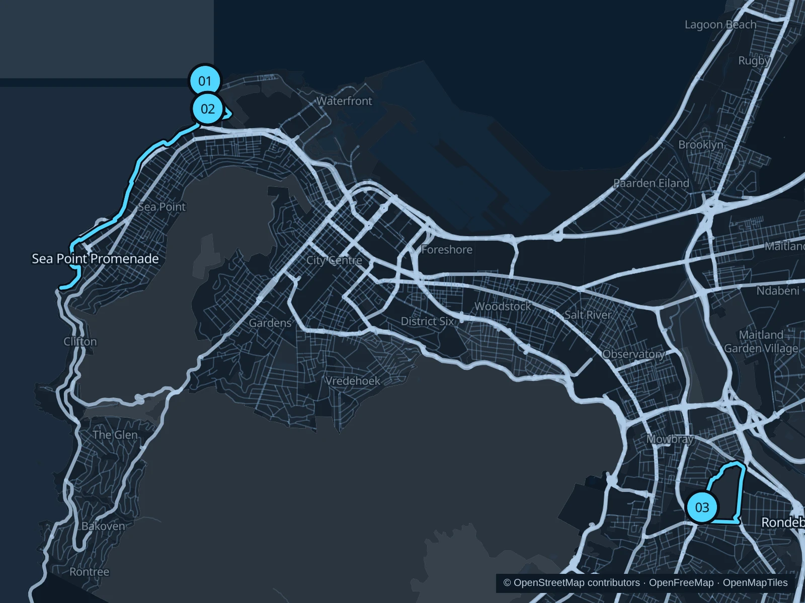
Sea Point’s Atlantic promenade is the longer coastal choice, while Green Point Park offers a smaller circuit below the stadium. Rondebosch Common swaps the seafront for open conservation land in the southern suburbs. Run in daylight and check current local advice before heading out.

Get running directions on your phone

Find a route near your hotel

The numbers mark each start. Distances exclude the journey from your accommodation.

Map data: © OpenStreetMap contributors · OpenFreeMap · OpenMapTiles

Where to run in Cape Town

Sea Point Promenade · Mouille Point

An Atlantic-facing out-and-back with wide sea views, coastal lawns and the city rising behind the promenade.
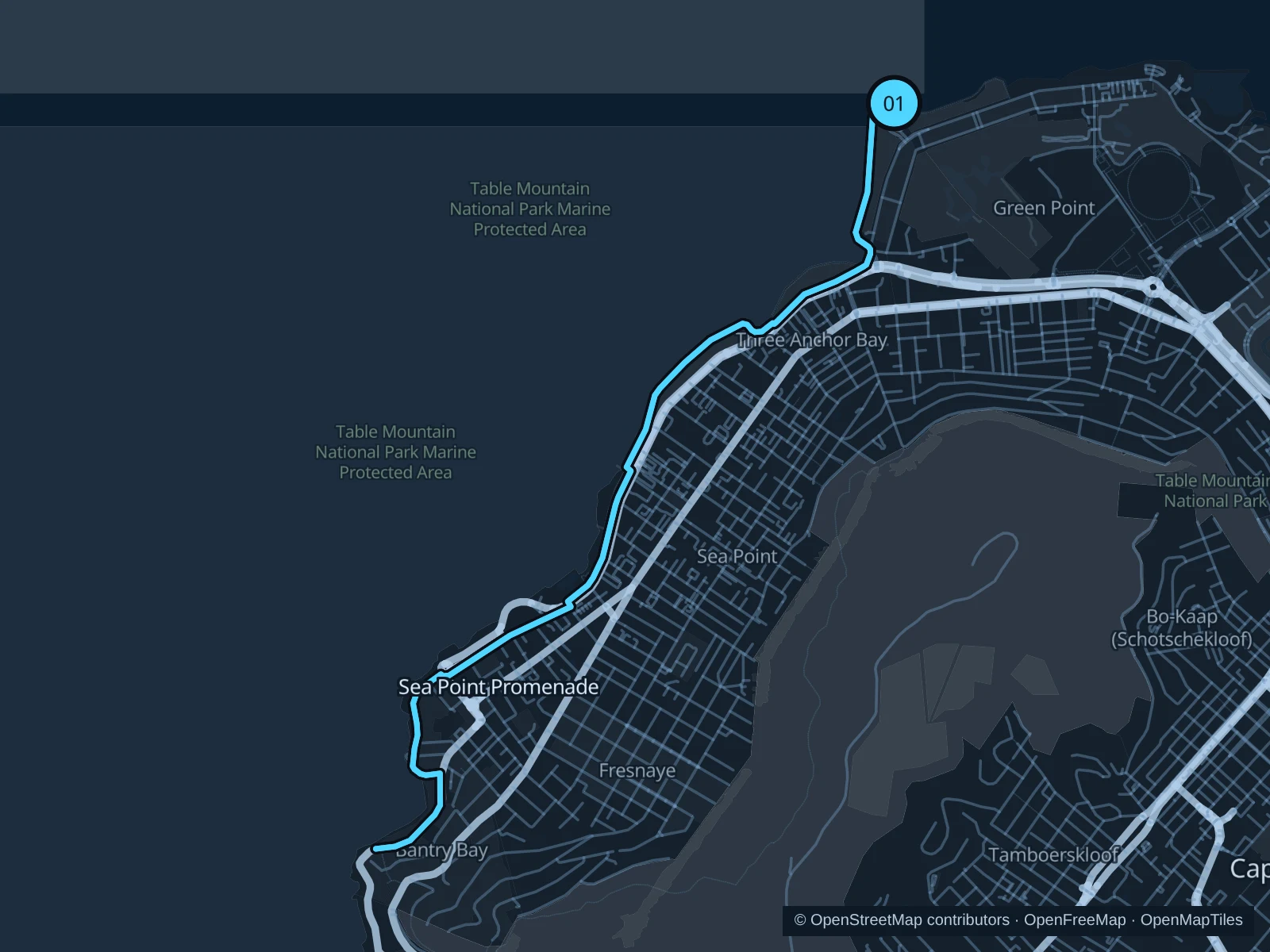
Map of the 9.0 km Sea Point Promenade · Mouille Point run, with start and finish marked 01.
01 Out & backOpen full-size map
Approx. distance9.0 km
Underfoot

Paved seafront promenade

01

Start here

On the public promenade northwest of Green Point Lighthouse.

Follow the promenade southwest through Sea Point toward the southern beach coves, then return to the lighthouse.

Getting there

Take a MyCiTi bus to the Mouille Point area or walk from a nearby seafront hotel.

Before you go

Wind and spray can be strong. Stay away from wave-washed edges, slow down near play areas and respect temporary promenade closures.

Park / route information

Get running directions on your phone
Green Point Park

Garden paths, ponds and lawns make a shorter park outing close to the Atlantic seafront and stadium.

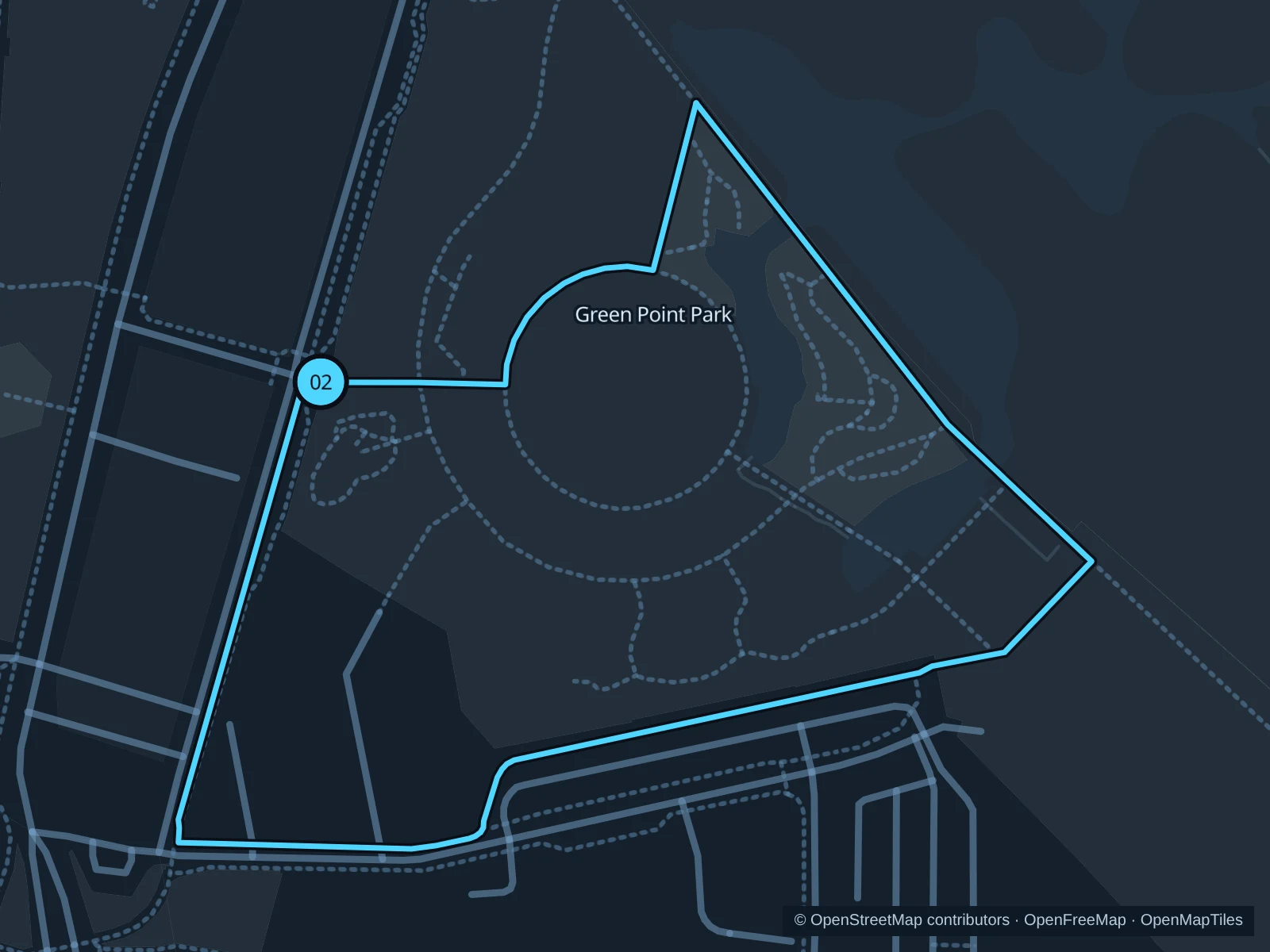
Map of the 1.2 km Green Point Park run, with start and finish marked 02.
02 LoopOpen full-size map
Approx. distance1.2 km
Underfoot

Paved park paths

02

Start here

At the public park entrance near Bay Road, on the western side.

Follow the public paths around the park’s lawns and ponds, then return to the western entrance.

Getting there

Walk from Main Road in Green Point along public streets toward Bay Road and the park entrance.

Before you go

Stick to the outdoor public paths and stay out of display beds and sports enclosures. The park is gated, so check opening hours and any arrangements for stadium events.

Park / route information

Get running directions on your phone

Rondebosch Common

Open common land with mountain views and protected Cape Flats vegetation, away from the seafront hotel strip.

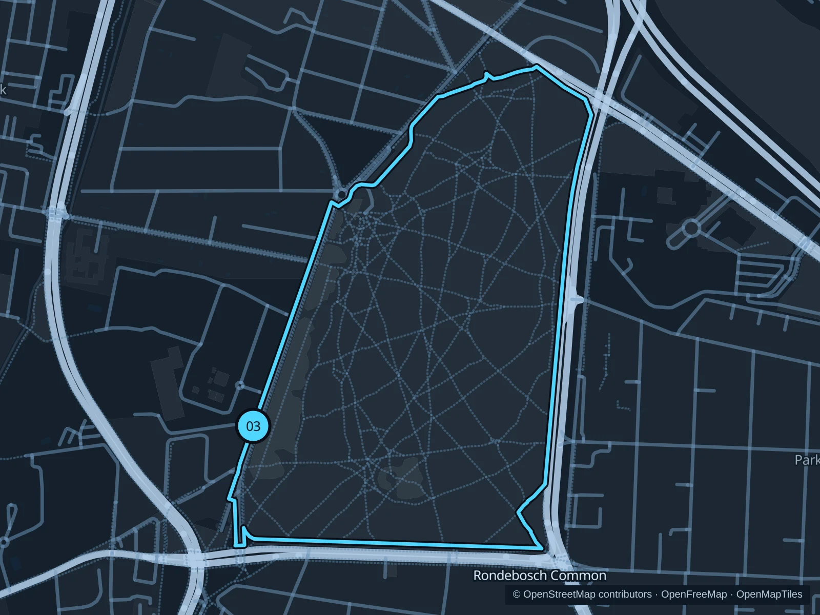
Map of the 2.8 km Rondebosch Common run, with start and finish marked 03.
03 LoopOpen full-size map
Approx. distance2.8 km
Underfoot

Compacted paths and perimeter footpaths

03

Start here

On the public perimeter path by Campground Road on the western side.

Follow the established perimeter paths around the common and return to the Campground Road side.

Getting there

Get to Rondebosch, then walk along public sidewalks to the common’s western edge.

Before you go

This is a conservation area with seasonal wetland habitat. Stay on established paths, avoid trampling vegetation and expect puddles after rain.

Park / route information

Get running directions on your phone

Get running directions on your phone

Choose a distance and start at your hotel. RunFromHere plans a loop back to your door and guides you along it. Download the area’s map before you leave to use it offline.

The app generates its own routes from your chosen start; it doesn’t open the routes in this guide.

More places to run

Company’s Garden

A compact central alternative around Government Avenue and the museum district. Expect walkers, check the garden gates and don’t assume every museum entrance is a public way through.

Park / route information

De Waal Park

In Gardens, this park offers another short outing among mature trees. Give dog walkers room and follow current park notices.

Park / route information

Sources & route notes

Researched using the official visitor and park sources below; not checked on foot. Maps and GPX files use the same saved OpenStreetMap pedestrian paths. Distances are approximate. Check local notices for access, gate hours and diversions.

Researched