Skip to routes
RunFromHere
Get the app
English
Illustrated panorama of Rome in white linework.

Rome

Rome’s pavements can make a run stop-start. The villa parks offer longer stretches among pines and garden paths; the Tiber gives you a route below the traffic. Choose the park nearest your accommodation rather than crossing the city for a short run.

Get running directions on your phone

Find a route near your hotel

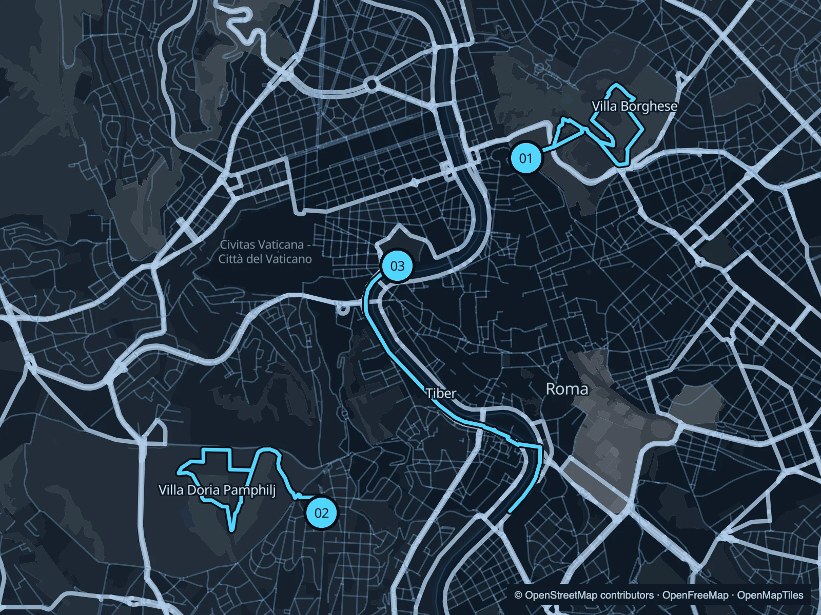
The numbers mark each start. Distances exclude the journey from your accommodation.

Map data: © OpenStreetMap contributors · OpenFreeMap · OpenMapTiles

Where to run in Rome

Villa Borghese

Broad avenues and smaller garden paths above the historic centre. The circuit crosses the park around Piazza di Siena.
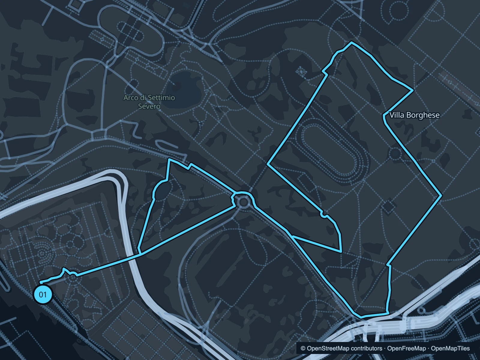
Map of the 3.7 km Villa Borghese run, with start and finish marked 01.
01 LoopOpen full-size map
Approx. distance3.7 km
Underfoot

Mixed park paths; some slopes

01

Start here

On the Pincio-side path at Viale del Belvedere.

Follow the park paths northeast, circle the central grounds and return towards the Pincio.

Getting there

Walk uphill from Piazza del Popolo to the Pincio gardens.

Before you go

Expect garden junctions, visitors and occasional park-road crossings. The museum has separate admission.

Park / route information

Get running directions on your phone
Villa Doria Pamphilj

A larger green space west of Trastevere, with long paths and room to leave the busiest sightseeing streets behind.

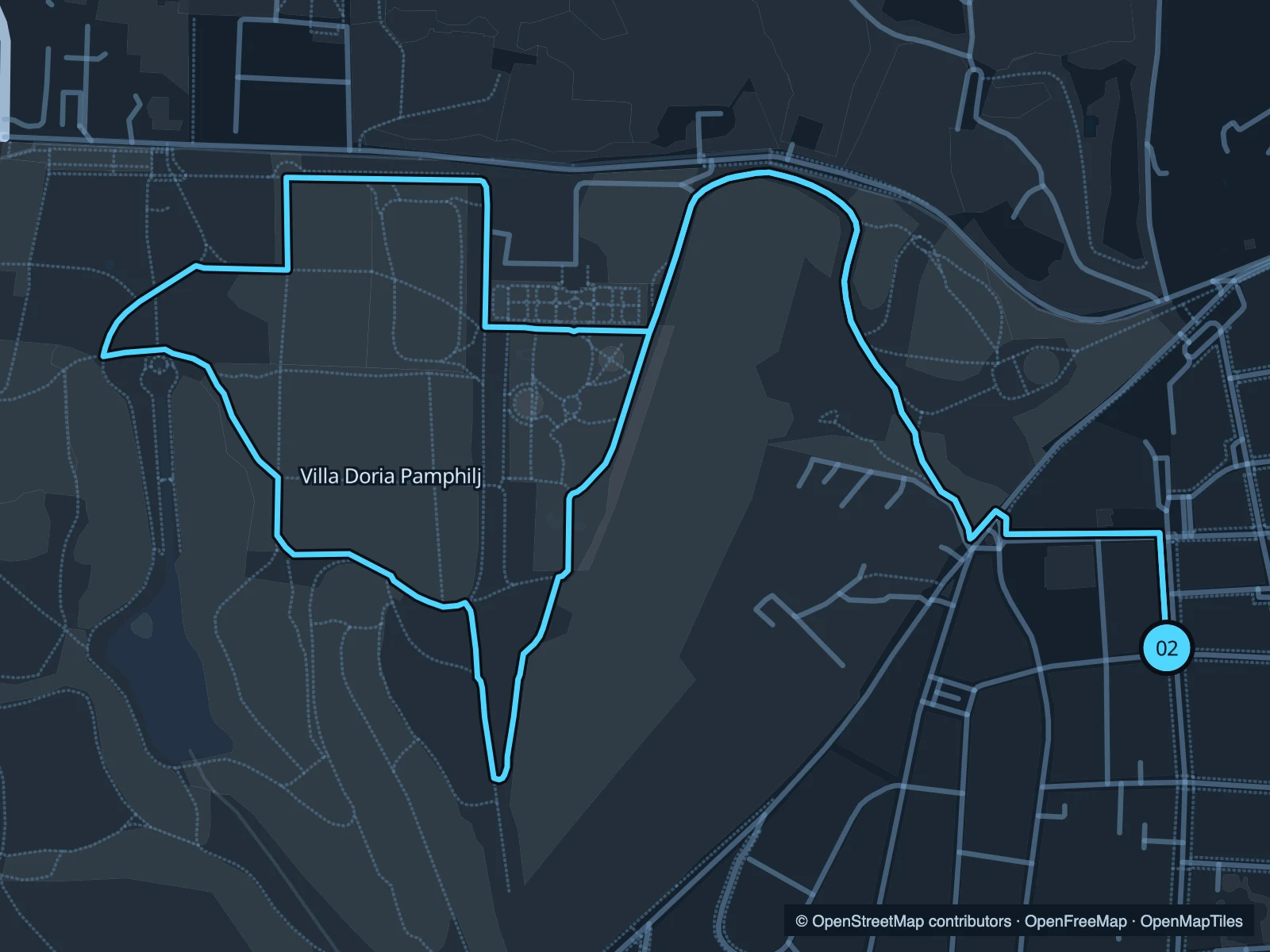
Map of the 4.5 km Villa Doria Pamphilj run, with start and finish marked 02.
02 LoopOpen full-size map
Approx. distance4.5 km
Underfoot

Mixed garden paths and uneven sections

02

Start here

Inside the southeastern park approach from Via Vitellia.

Follow the paths into the central grounds, loop west and return to the same entrance.

Getting there

Approach on foot from Monteverde; allow for the climb if coming from Trastevere.

Before you go

Check gate hours. Keep to public park paths around the villa buildings.

Park / route information

Get running directions on your phone

Tiber · Castel Sant’Angelo

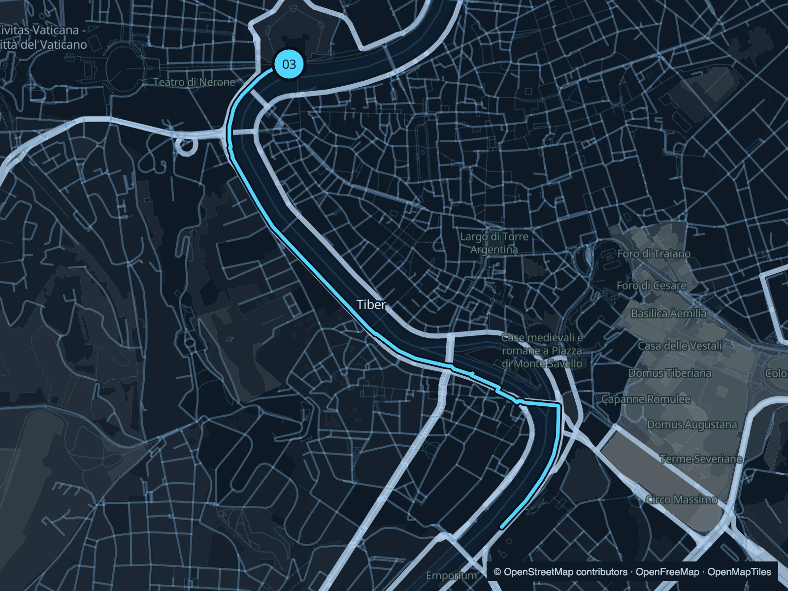
The lower river path runs beneath Rome’s embankment walls. Bridges pass overhead as you head south towards Trastevere.

Map of the 6.2 km Tiber · Castel Sant’Angelo run, with start and finish marked 03.
03 Out & backOpen full-size map
Approx. distance6.2 km
Underfoot

Paved river path; access steps

03

Start here

On the lower quay near Ponte Sant’Angelo, on the Vatican side.

Follow the lower right bank south, past the bend beside Trastevere, then retrace it.

Getting there

Walk from Castel Sant’Angelo to a signed public descent to the river.

Before you go

Use the lower path only when open. High water and events can interrupt the quay; access stairs are outside the running distance.

Park / route information

Get running directions on your phone

Get running directions on your phone

Choose a distance and start at your hotel. RunFromHere plans a loop back to your door and guides you along it. Download the area’s map before you leave to use it offline.

The app generates its own routes from your chosen start; it doesn’t open the routes in this guide.

More places to run

Sources & route notes

Researched using the official visitor and park sources below; not checked on foot. Maps and GPX files use the same saved OpenStreetMap pedestrian paths. Distances are approximate. Check local notices for access, gate hours and diversions.

Researched