Skip to routes
RunFromHere
Get the app
English
Illustrated panorama of Porto in white linework.

Porto

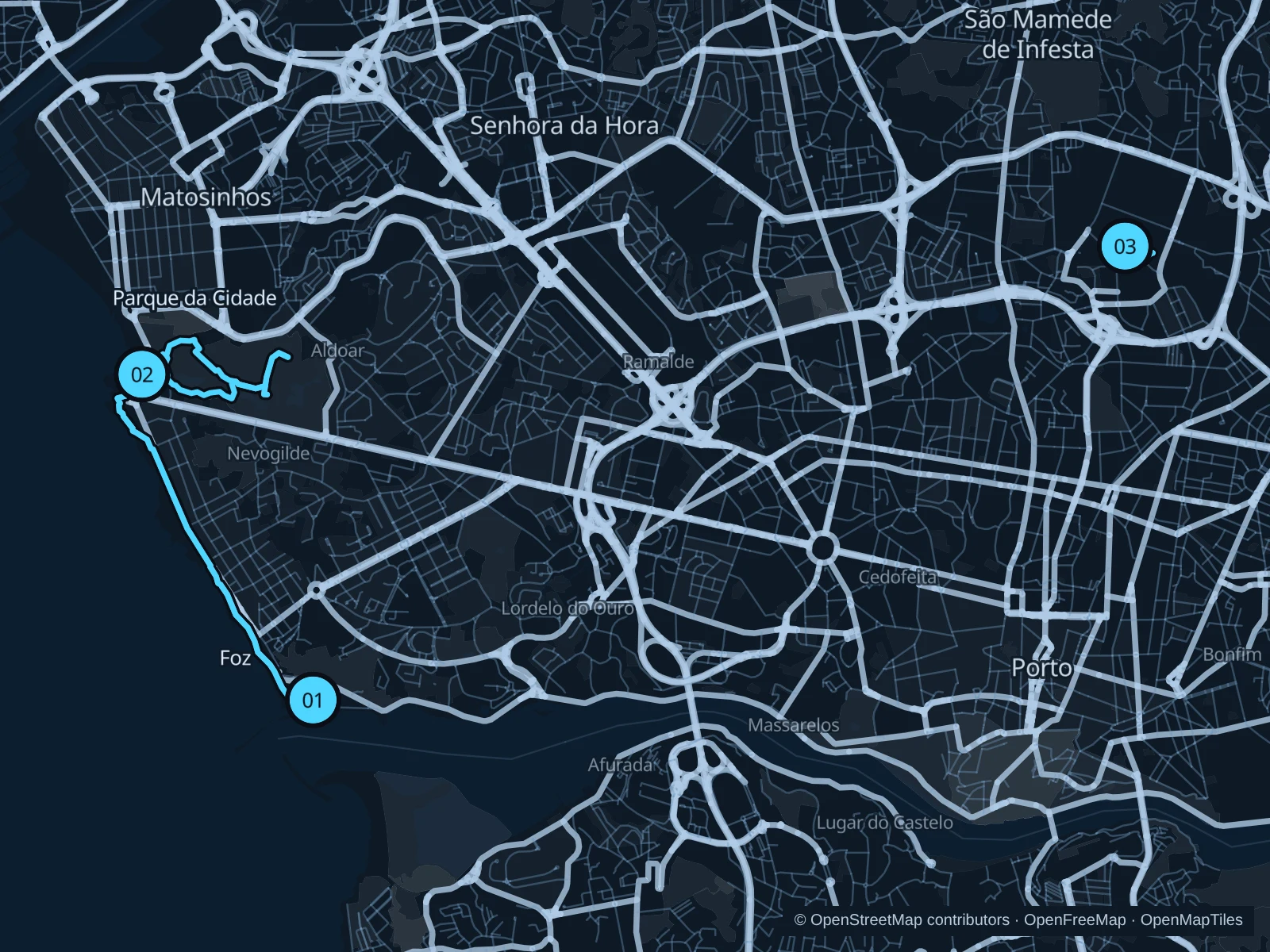
Porto’s Atlantic promenades and public parks offer room to run beyond the steep old-town streets. Foz gives you a longer sea-view outing, Parque da Cidade adds quieter park paths, and Asprela suits a shorter run near the university district.

Get running directions on your phone

Find a route near your hotel

The numbers mark each start. Distances exclude the journey from your accommodation.

Map data: © OpenStreetMap contributors · OpenFreeMap · OpenMapTiles

Where to run in Porto

Foz · Atlantic promenade

A longer ocean-facing run along the promenades of Foz, with a turnaround beside Castelo do Queijo.
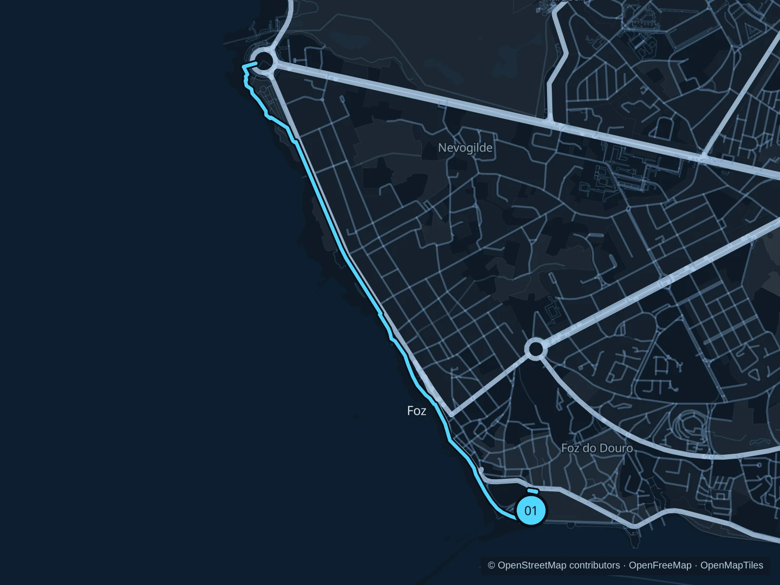
Map of the 6.3 km Foz · Atlantic promenade run, with start and finish marked 01.
01 Out & backOpen full-size map
Approx. distance6.3 km
Underfoot

Paved pedestrian paths

01

Start here

On the public riverside path opposite the western end of Passeio Alegre Garden.

Follow the public promenade around the Foz headland and north along Avenida do Brasil and Avenida de Montevideu. Turn around on the public path beside Castelo do Queijo, outside the fort, and return along the same route.

Getting there

From the Passeio Alegre tram stop, walk along the public streets at the garden’s edge to the riverside path.

Before you go

Turn back in rough seas or if waves reach the promenade. Stay off breakwaters, wet rocks and the cycle-only lane; slow down by beach entrances.

Park / route information

Get running directions on your phone
Parque da Cidade

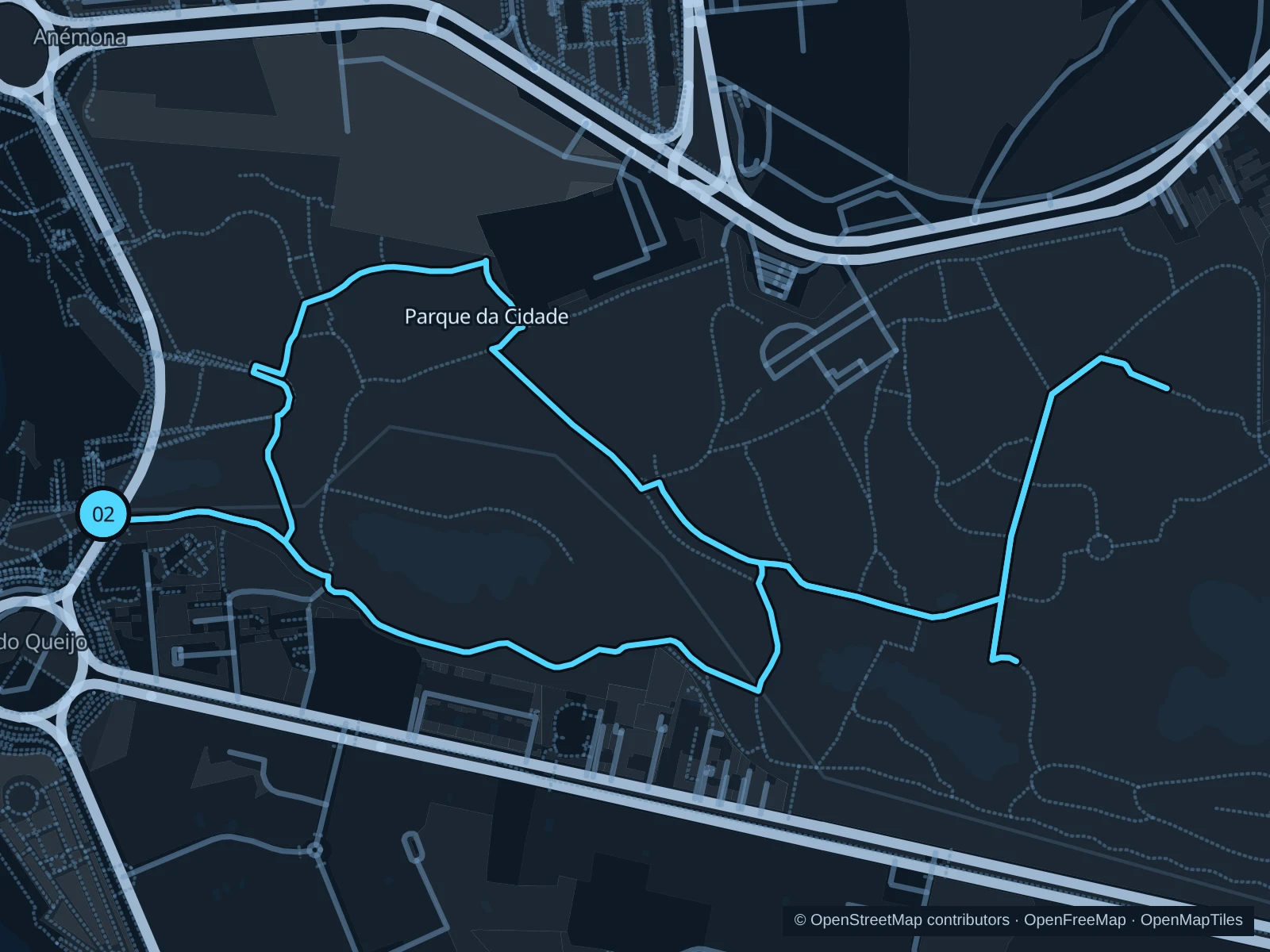
A park circuit on the western paths, between lawns, trees and lakes.

Map of the 3.4 km Parque da Cidade run, with start and finish marked 02.
02 LoopOpen full-size map
Approx. distance3.4 km
Underfoot

Paved paths and compacted natural surfaces

02

Start here

On the public park path at the western entrance near Avenida de Montevideu.

Follow the public paths through the western side of the park, with a short out-and-back toward the central lake paths, then complete the western circuit back to the seaside entrance.

Getting there

Take a local bus to Castelo do Queijo, cross at the marked pedestrian crossing and enter the park from the western side.

Before you go

The city lists opening hours of 8am to 10pm October–March and 8am to midnight April–September. Check gate notices and give lakeside wildlife space.

Park / route information

Get running directions on your phone

Parque da Asprela

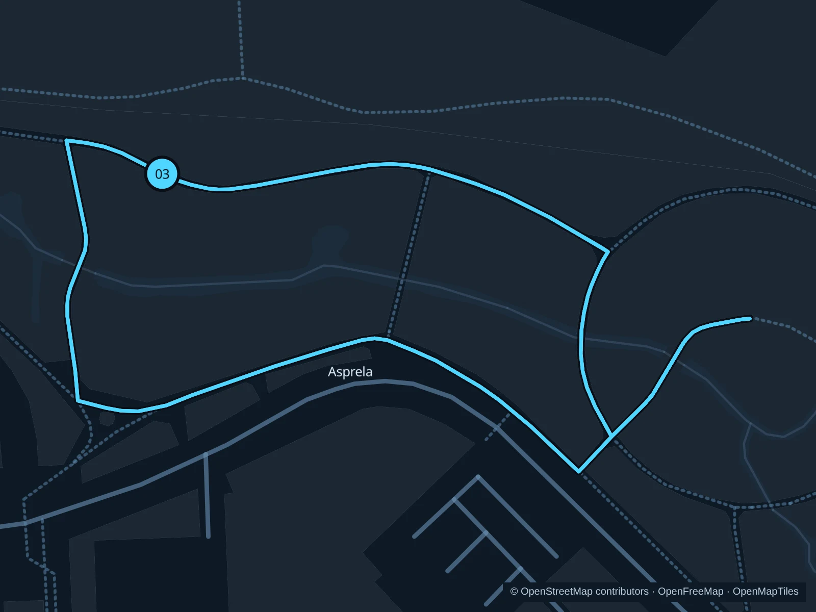
Three short laps on public streamside paths in the southern section of Parque da Asprela.

Map of the 2.1 km Parque da Asprela run, with start and finish marked 03.
03 LoopOpen full-size map
Approx. distance2.1 km
Underfoot

Paved pedestrian paths

03

Start here

At the public path junction in the southern section of Parque da Asprela, north of Rua Alfredo Allen.

Run three laps of the same connected public loop beside the stream. The saved GPX includes all three laps and stays outside university buildings and hospital grounds.

Getting there

From Pólo Universitário metro station, walk north to Rua Alfredo Allen and use the public park entrance.

Before you go

Share the paths with students and cyclists, leave wetland plants untouched and respect any flood or maintenance barriers.

Park / route information

Get running directions on your phone

Get running directions on your phone

Choose a distance and start at your hotel. RunFromHere plans a loop back to your door and guides you along it. Download the area’s map before you leave to use it offline.

The app generates its own routes from your chosen start; it doesn’t open the routes in this guide.

More places to run

Parque Oriental

The public park along the Rio Tinto offers another green corridor east of the center. Check the current path connections and go in daylight on your first visit.

Park / route information

Jardins do Palácio de Cristal

These central gardens have river views, slopes and steps. Keep an easy pace on public paths, slow to a walk at crowded viewpoints and check gates or arena-event barriers.

Park / route information

Sources & route notes

Researched using the official visitor and park sources below; not checked on foot. Maps and GPX files use the same saved OpenStreetMap pedestrian paths. Distances are approximate. Check local notices for access, gate hours and diversions.

Researched