Skip to routes
RunFromHere
Get the app
English
Illustrated panorama of Madrid in white linework.

Madrid

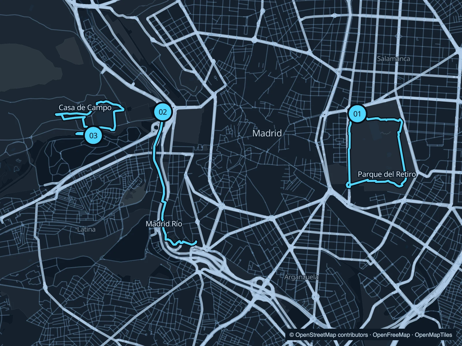
Retiro is the straightforward choice near the Prado and Atocha. Madrid Río follows the Manzanares through landscaped parkland, while Casa de Campo adds dirt paths and a lake west of the centre. In warm weather, plan your run for the cooler part of the day.

Get running directions on your phone

Find a route near your hotel

The numbers mark each start. Distances exclude the journey from your accommodation.

Map data: © OpenStreetMap contributors · OpenFreeMap · OpenMapTiles

Where to run in Madrid

Parque del Retiro

A circuit through the avenues of Madrid’s central park. There are plenty of junctions to shorten the run if breakfast is waiting.
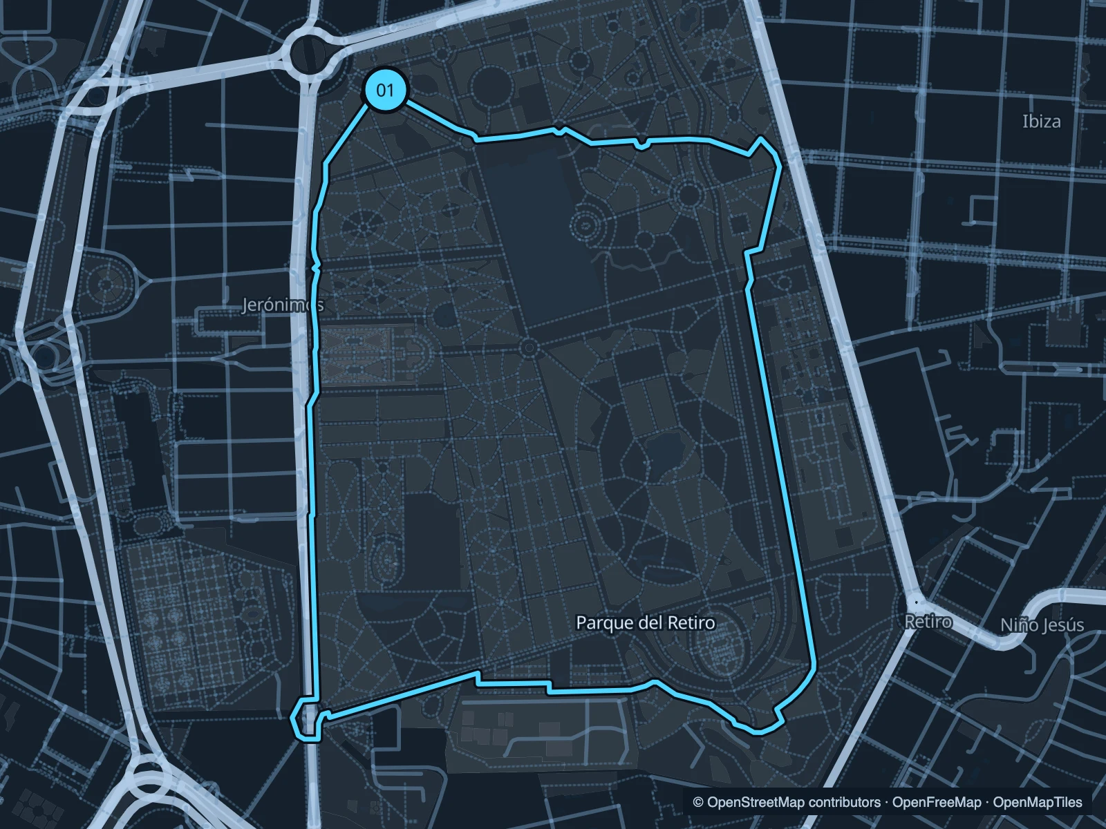
Map of the 4.0 km Parque del Retiro run, with start and finish marked 01.
01 LoopOpen full-size map
Approx. distance4.0 km
Underfoot

Paved and gravel park paths

01

Start here

Inside the northern park edge near Puerta de Alcalá.

Work clockwise through the eastern and southern paths, then return north through the park.

Getting there

Walk from Retiro metro station towards the park gates.

Before you go

The park can close in severe weather. Check municipal notices, especially after strong winds.

Park / route information

Get running directions on your phone
Madrid Río

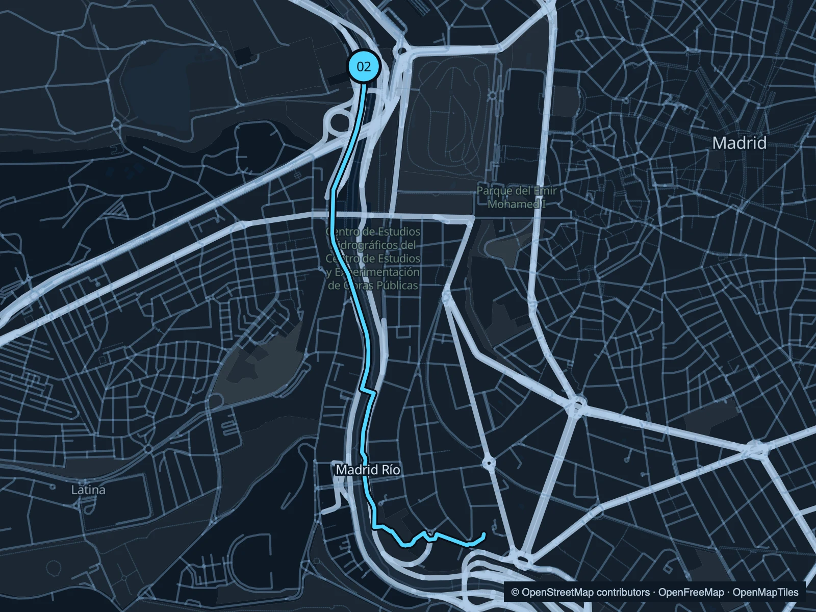
Bridges and riverside gardens along the Manzanares. An out-and-back makes the distance easy to adjust.

Map of the 5.3 km Madrid Río run, with start and finish marked 02.
02 Out & backOpen full-size map
Approx. distance5.3 km
Underfoot

Paved park and shared river paths

02

Start here

At the riverside paths near Puente del Rey.

Follow the river south through Madrid Río and turn back at the mapped endpoint.

Getting there

Approach from Príncipe Pío and walk down to the river park.

Before you go

Stay on pedestrian paths at shared sections and crossings. Open stretches offer little shade.

Park / route information

Get running directions on your phone

Casa de Campo · Lago

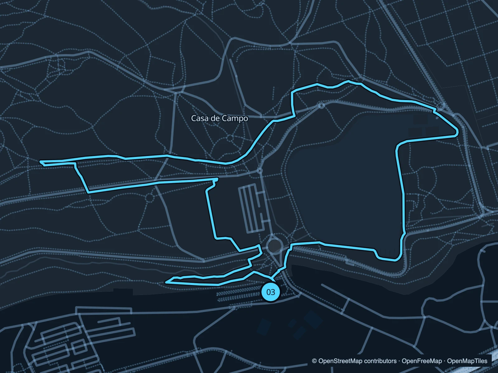
A lake-side start leads into the park’s broader path network. This circuit stays close enough to the lake for an easy return.

Map of the 3.5 km Casa de Campo · Lago run, with start and finish marked 03.
03 LoopOpen full-size map
Approx. distance3.5 km
Underfoot

Mixed park paths, including dirt

03

Start here

At the southern side of the lake, near the Lago approach.

Loop west and north through the park before returning to the lake.

Getting there

Walk from Lago metro station to the lakeside paths.

Before you go

Dirt sections can be dusty or muddy. This is a park circuit, not a route through the zoo or amusement park.

Park / route information

Get running directions on your phone

Get running directions on your phone

Choose a distance and start at your hotel. RunFromHere plans a loop back to your door and guides you along it. Download the area’s map before you leave to use it offline.

The app generates its own routes from your chosen start; it doesn’t open the routes in this guide.

More places to run

Sources & route notes

Researched using the official visitor and park sources below; not checked on foot. Maps and GPX files use the same saved OpenStreetMap pedestrian paths. Distances are approximate. Check local notices for access, gate hours and diversions.

Researched