Skip to routes
RunFromHere
Get the app
English
Illustrated panorama of Lisbon in white linework.

Lisbon

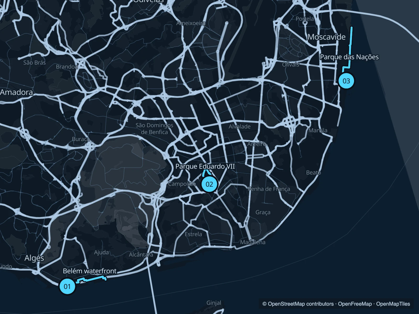
Lisbon’s hills are part of the city, but they do not have to be part of every run. Belém and Parque das Nações offer riverfront paths. Parque Eduardo VII gives you a shorter, sloping circuit above Avenida da Liberdade.

Get running directions on your phone

Find a route near your hotel

The numbers mark each start. Distances exclude the journey from your accommodation.

Map data: © OpenStreetMap contributors · OpenFreeMap · OpenMapTiles

Where to run in Lisbon

Belém · tower and gardens

A run from Belém Tower through the public paths beside the cultural centre and waterfront gardens. The route crosses the transport corridor rather than staying beside the river throughout.
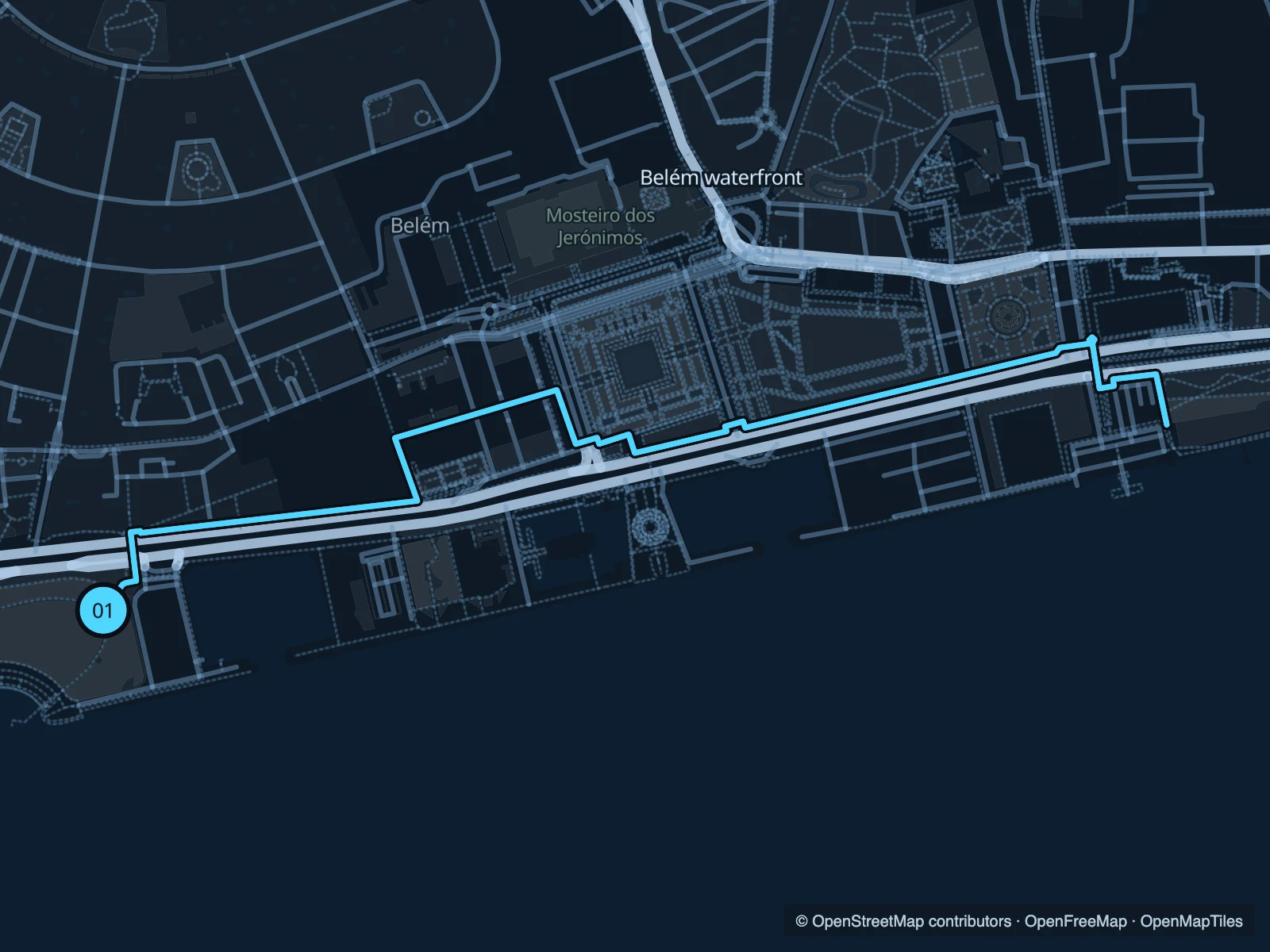
Map of the 3.9 km Belém · tower and gardens run, with start and finish marked 01.
01 Out & backOpen full-size map
Approx. distance3.9 km
Underfoot

Paved paths, underpasses and road crossings

01

Start here

On the riverfront near Belém Tower, outside the monument grounds.

From the tower, follow the mapped public crossings north, head east beside the gardens and return from the docks.

Getting there

Approach from Belém or the local tram and bus stops using public crossings over the transport corridor.

Before you go

Use the marked crossings and underpasses. Walk busy junctions and keep clear of marina access.

Park / route information

Get running directions on your phone
Parque Eduardo VII

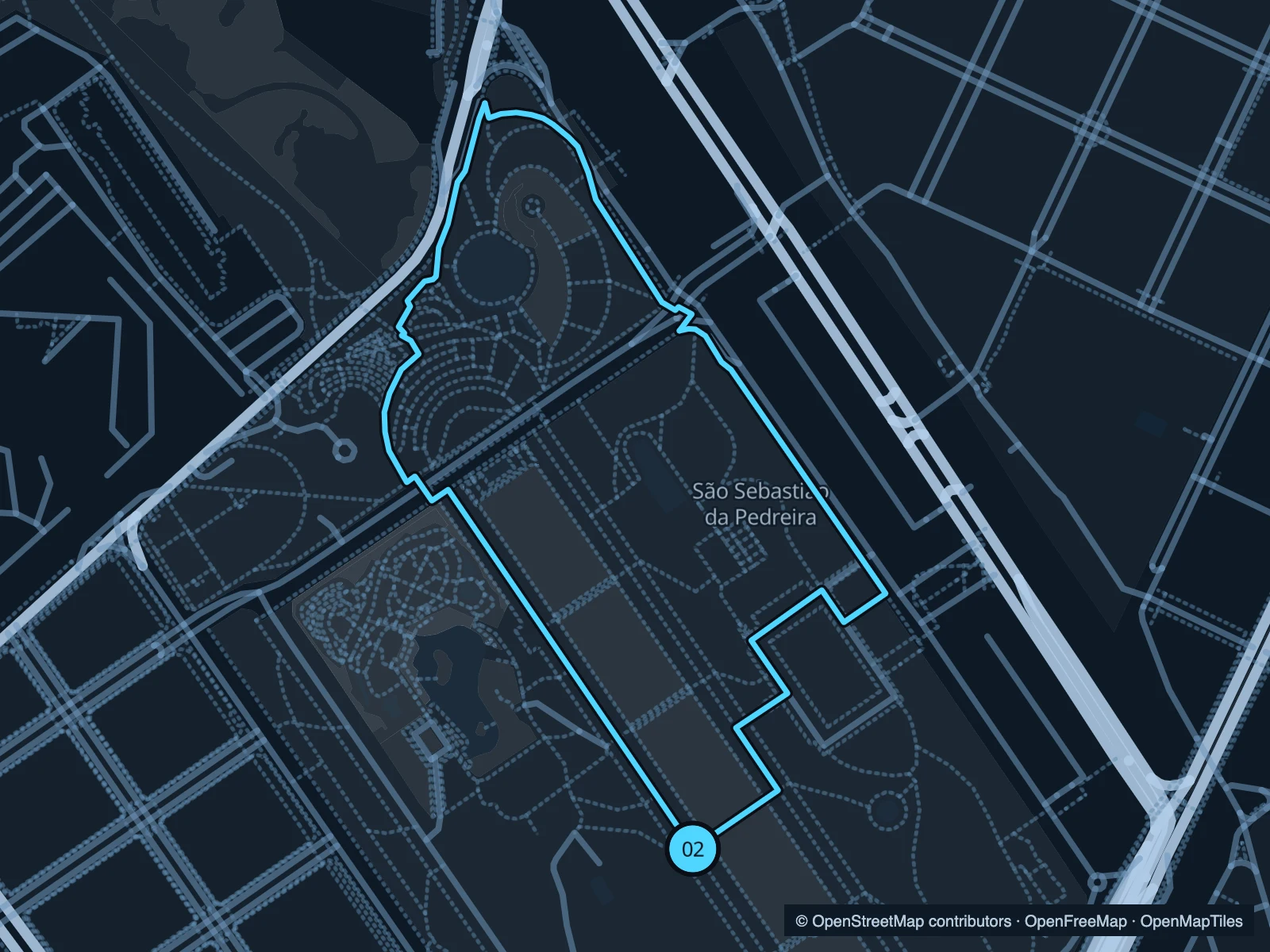
The formal park rises above the city centre. A short lap gives you a climb and the view back towards the river.

Map of the 1.6 km Parque Eduardo VII run, with start and finish marked 02.
02 LoopOpen full-size map
Approx. distance1.6 km
Underfoot

Paved paths and calçada; sloping

02

Start here

At the lower park paths above Marquês de Pombal.

Climb along one side of the gardens, cross near the upper end and descend on the other.

Getting there

Walk uphill from Marquês de Pombal metro station.

Before you go

Calçada can be slippery when wet. The Estufa Fria greenhouse is separate from the park route.

Park / route information

Get running directions on your phone

Parque das Nações

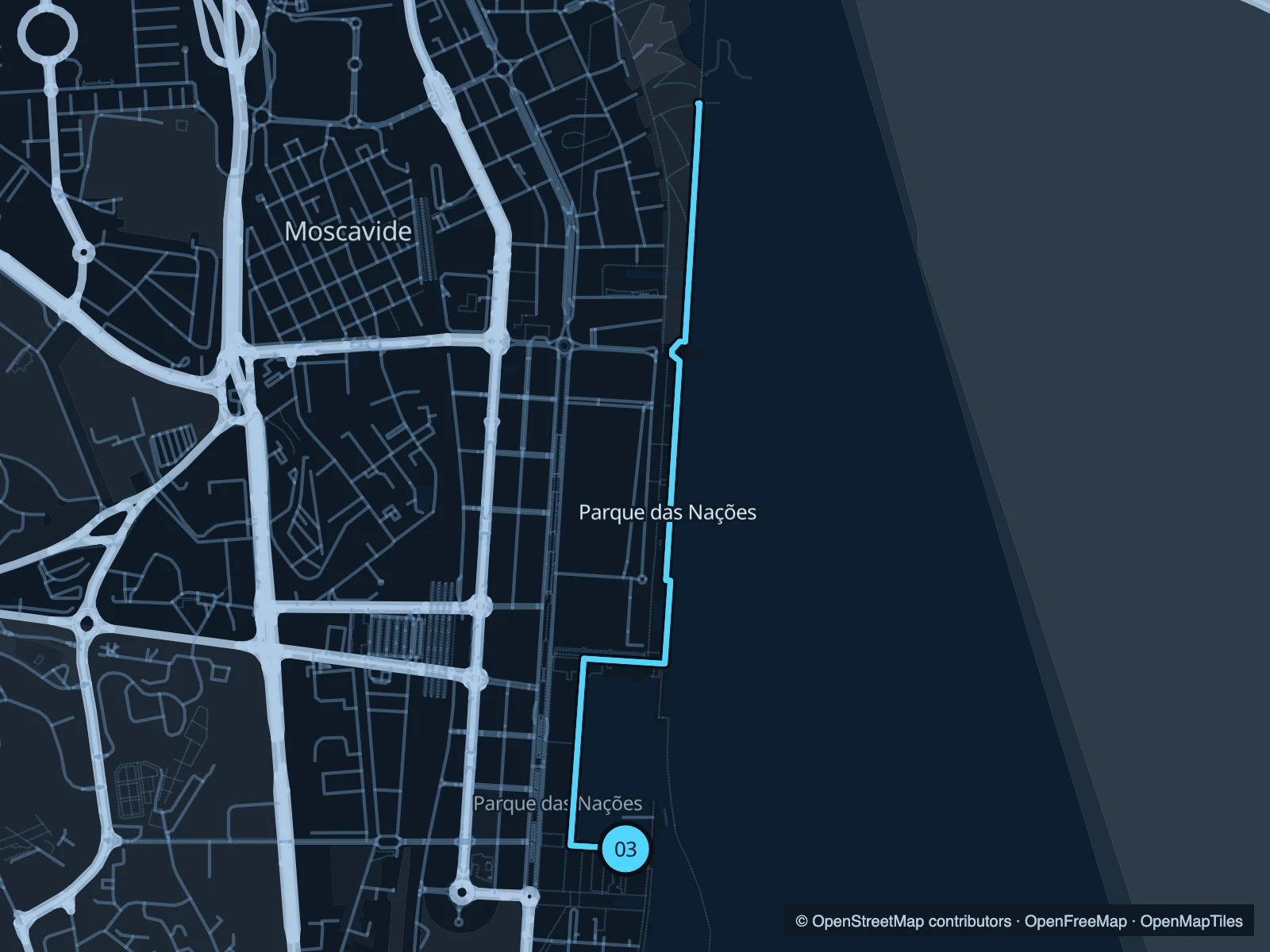
A broad modern waterfront north of the Oceanário, with gardens along the Tagus and views towards Vasco da Gama Bridge.

Map of the 4.9 km Parque das Nações run, with start and finish marked 03.
03 Out & backOpen full-size map
Approx. distance4.9 km
Underfoot

Paved shared waterfront paths

03

Start here

On the riverside promenade near the Oceanário.

Follow the promenade north into the riverside gardens and return at the marked point.

Getting there

Walk from Oriente station through Parque das Nações towards the river.

Before you go

This is an exposed waterfront. Check the wind and leave space for walkers and bikes.

Park / route information

Get running directions on your phone

Get running directions on your phone

Choose a distance and start at your hotel. RunFromHere plans a loop back to your door and guides you along it. Download the area’s map before you leave to use it offline.

The app generates its own routes from your chosen start; it doesn’t open the routes in this guide.

More places to run

Ribeira das Naus

A central riverside option between Cais do Sodré and Praça do Comércio; expect busy pedestrian sections.

Park / route information

Sources & route notes

Researched using the official visitor and park sources below; not checked on foot. Maps and GPX files use the same saved OpenStreetMap pedestrian paths. Distances are approximate. Check local notices for access, gate hours and diversions.

Researched