Skip to routes
RunFromHere
Get the app
English
Illustrated panorama of Honolulu in white linework.

Honolulu

Kapiʻolani Park and the Ala Wai Canal are an easy walk from Waikīkī’s hotel blocks. Ala Moana adds a different beach and a run around Magic Island. Start before the heat builds, and remember that busy waterfront paths are shared with other visitors.

Get running directions on your phone

Find a route near your hotel

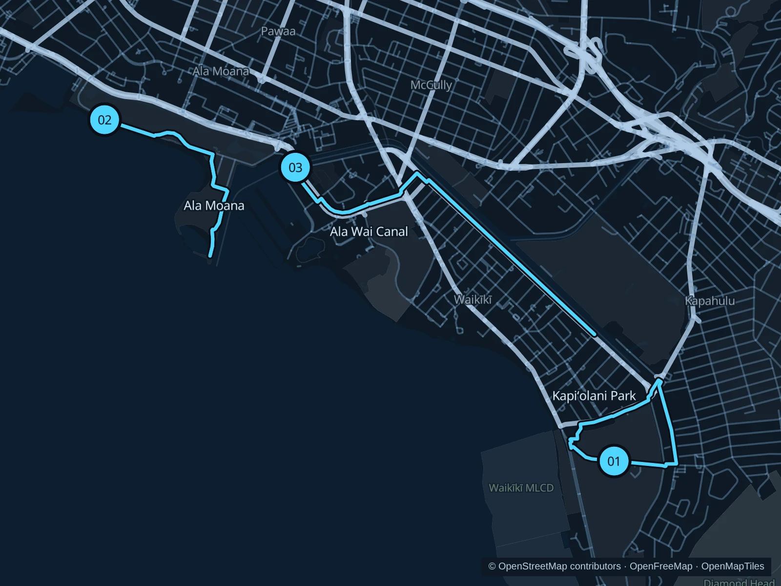
The numbers mark each start. Distances exclude the journey from your accommodation.

Map data: © OpenStreetMap contributors · OpenFreeMap · OpenMapTiles

Where to run in Honolulu

Kapiʻolani Park

Lawns and large trees sit below Lēʻahi / Diamond Head, close to the zoo and the quieter eastern end of Waikīkī.
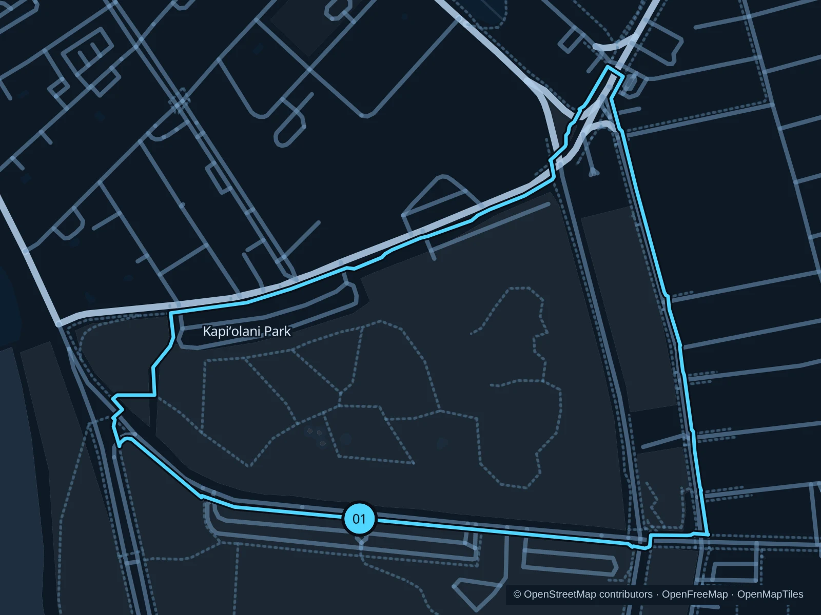
Map of the 2.3 km Kapiʻolani Park run, with start and finish marked 01.
01 LoopOpen full-size map
Approx. distance2.3 km
Underfoot

Paved park paths and perimeter footpaths

01

Start here

At the public park path beside Kapiʻolani Bandstand on Kalākaua Avenue.

Follow the park paths around the northern and eastern sides, then return beside the coast-facing edge.

Getting there

Walk east along Kalākaua Avenue from Waikīkī hotels, or take TheBus to the zoo area.

Before you go

Avoid the zoo and event enclosures. Check posted park hours and take water: shade is intermittent around the perimeter.

Park / route information

Get running directions on your phone
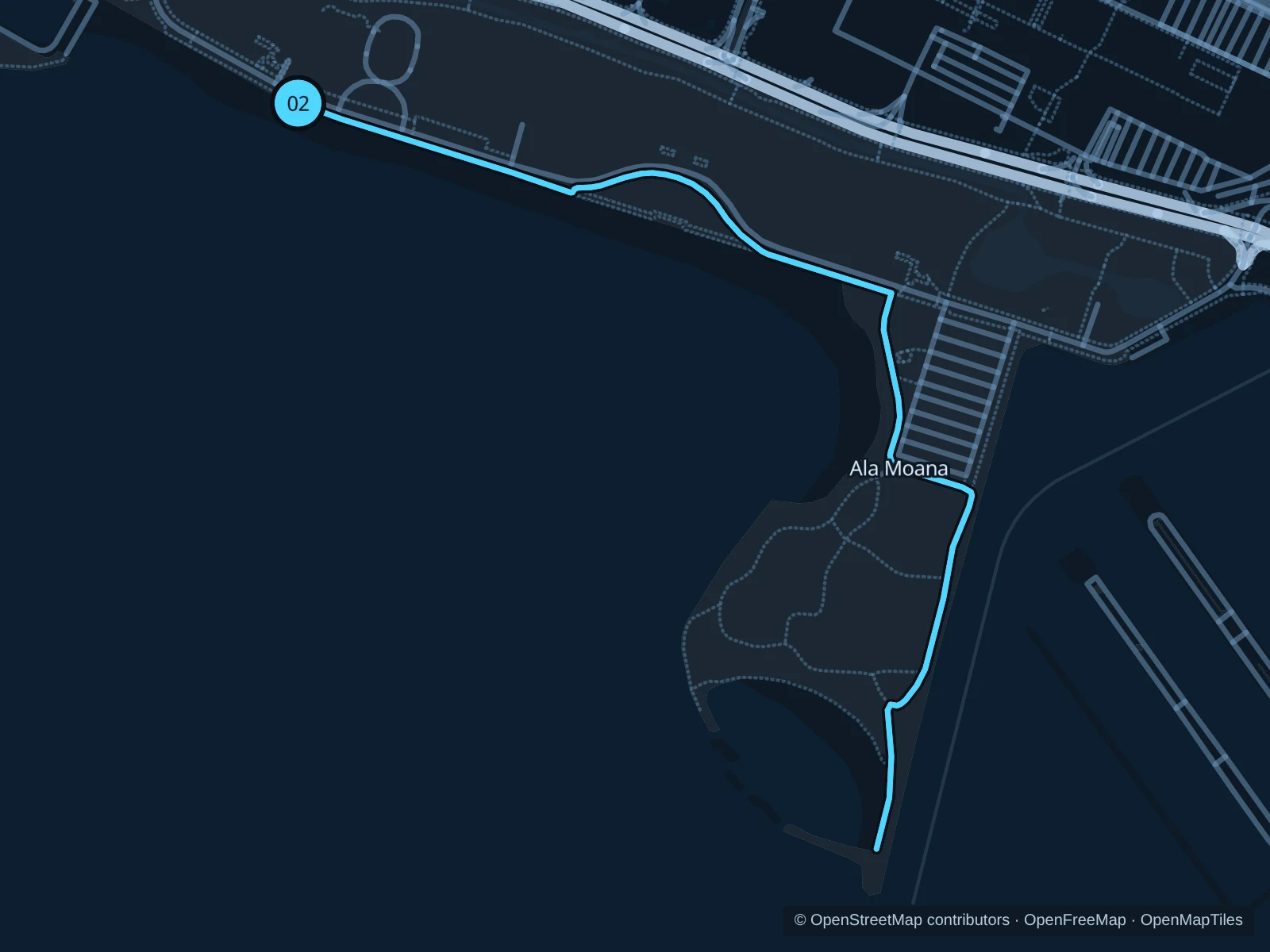
Ala Moana Beach Park & Magic Island

A beachside park with a broader skyline view than central Waikīkī. Magic Island adds a seawall peninsula and sheltered lagoon.

Map of the 3.2 km Ala Moana Beach Park & Magic Island run, with start and finish marked 02.
02 Out & backOpen full-size map
Approx. distance3.2 km
Underfoot

Paved park paths and waterfront promenade

02

Start here

On the public beach path at the western end of Ala Moana Beach, near Kewalo Basin.

Follow the beach path southeast into Magic Island, continue beside the lagoon and return along the same path.

Getting there

Take TheBus to Ala Moana Center and use marked crossings into the beach park.

Before you go

Park roads and car parks interrupt the pedestrian network. Follow posted opening hours and keep away from the seawall when waves wash over it.

Park / route information

Get running directions on your phone

Ala Wai Canal · Waikīkī side

The canal gives you a straighter run behind the hotels, with mountain views across the water and fewer beach crowds.

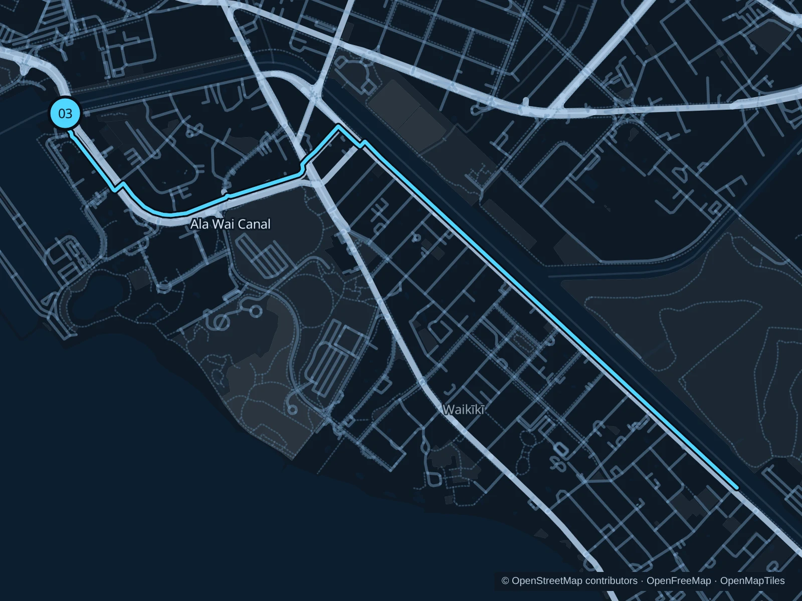
Map of the 5.6 km Ala Wai Canal · Waikīkī side run, with start and finish marked 03.
03 Out & backOpen full-size map
Approx. distance5.6 km
Underfoot

Canalside pavement beside a road

03

Start here

On the canal-side public footpath at the Ala Moana Boulevard bridge’s Waikīkī end.

Follow the public canal-side path around the first bend and along the Waikīkī bank towards the eastern hotel blocks, then return on the same bank.

Getting there

From western Waikīkī, walk to the Ala Moana Boulevard bridge and use the public footpath at its Waikīkī end.

Before you go

Use marked crossings at bridge approaches and expect driveways. Stay on the public footpath; the canal is not a swimming area.

Park / route information

Get running directions on your phone

Get running directions on your phone

Choose a distance and start at your hotel. RunFromHere plans a loop back to your door and guides you along it. Download the area’s map before you leave to use it offline.

The app generates its own routes from your chosen start; it doesn’t open the routes in this guide.

More places to run

Waikīkī beachfront

The paths beside Kūhiō and Queen’s Surf beaches suit a short morning outing. The beachfront in front of the hotels is busy and doesn’t form one continuous running promenade.

Park / route information

Kakaʻako Waterfront Park

A separate waterfront park nearer downtown, with lawns and ocean-facing paths. Approach from the public street entrances rather than trying to follow the harbour edge from Ala Moana.

Park / route information

Sources & route notes

Researched using official tourism and park information and Halekulani’s published jogging maps, linked below; not checked on foot. Maps and GPX files use the same saved OpenStreetMap pedestrian paths. Distances are approximate. Check local notices for access, gate hours and diversions.

Researched