
Skip to routes
RunFromHere
Get the app
English
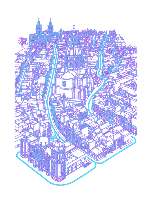
Illustrated panorama of Costa Adeje in white linework.

Costa Adeje

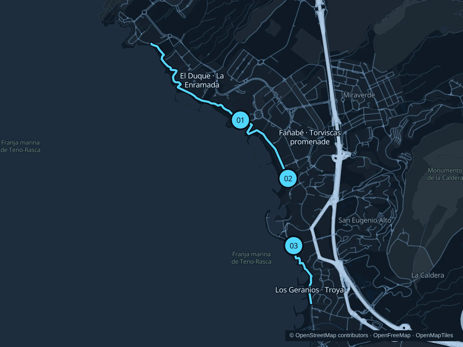
This guide covers Costa Adeje on Tenerife’s southern hotel coast, not Santa Cruz. Three separate sections of its public promenade suit different bases: El Duque towards La Enramada, Fañabé and Torviscas, and the short seafront run towards Troya.

Get running directions on your phone

Find a route near your hotel

The numbers mark each start. Distances exclude the journey from your accommodation.

Map data: © OpenStreetMap contributors · OpenFreeMap · OpenMapTiles

Where to run in Costa Adeje

El Duque · La Enramada

The northern promenade gives you the longest of these three runs, with La Enramada beach and the open Atlantic beyond the resort frontage.
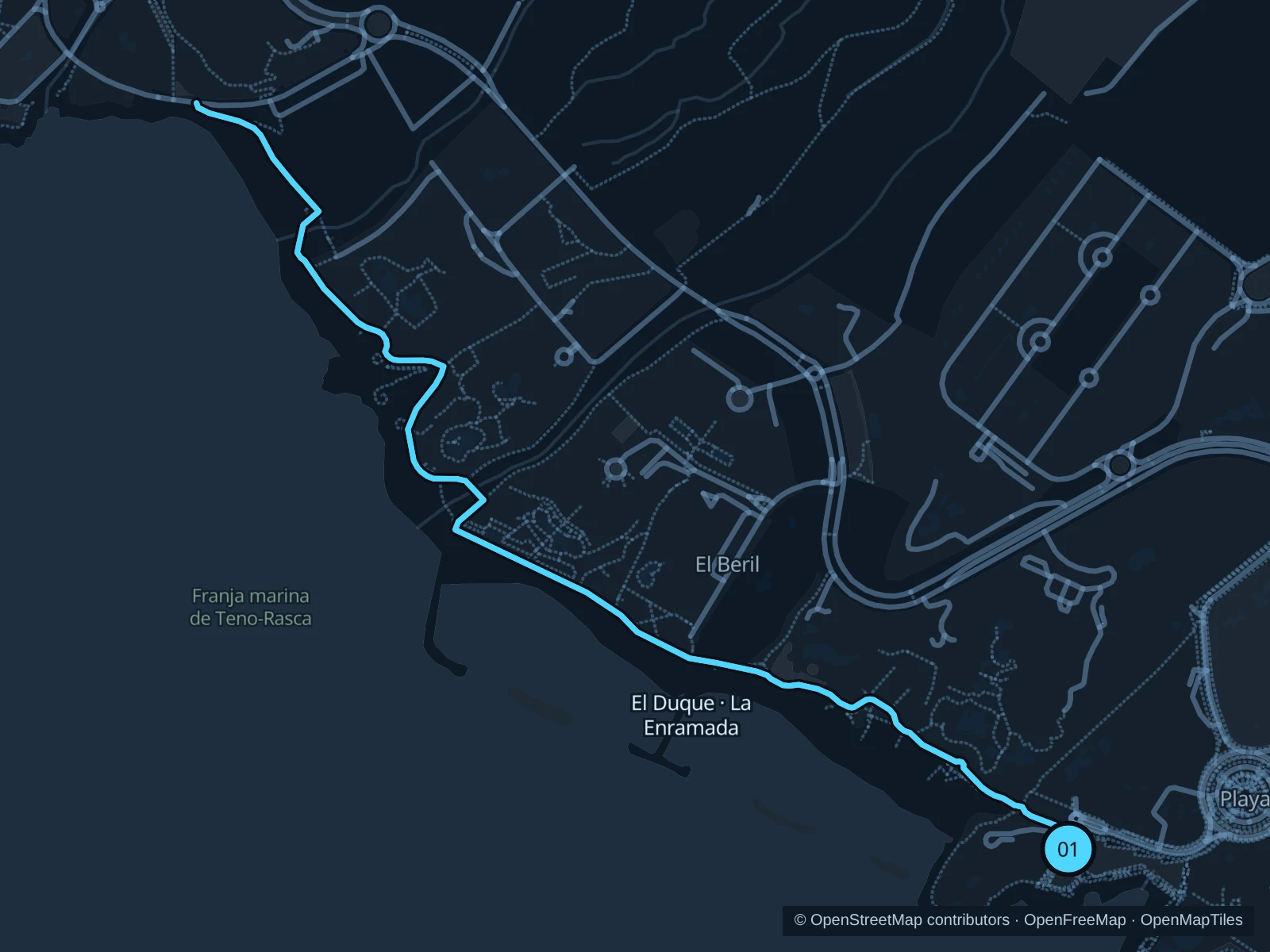
Map of the 3.6 km El Duque · La Enramada run, with start and finish marked 01.
01 Out & backOpen full-size map
Approx. distance3.6 km
Underfoot

Paved promenade, wooden boardwalk and bridge

01

Start here

On Paseo Marítimo at the eastern end of Playa del Duque, below the Casa del Duque headland.

Follow the coast northwest on Calle el Mirador past El Beril. Use the wooden bridge across the barranco and continue along La Enramada to the end of the boardwalk below La Caleta, then retrace your steps.

Getting there

Walk down from Plaza el Duque. TITSA buses stop inland, so expect a climb on the way back.

Before you go

Use the bridge, not the dry riverbed shortcut. The route stops before La Caleta village; it does not enter the rough protected coast to the north.

Park / route information

Get running directions on your phone
Fañabé · Torviscas promenade

An easy-to-follow beach-front option near the central hotel belt, with cafés and beach access points along the way.

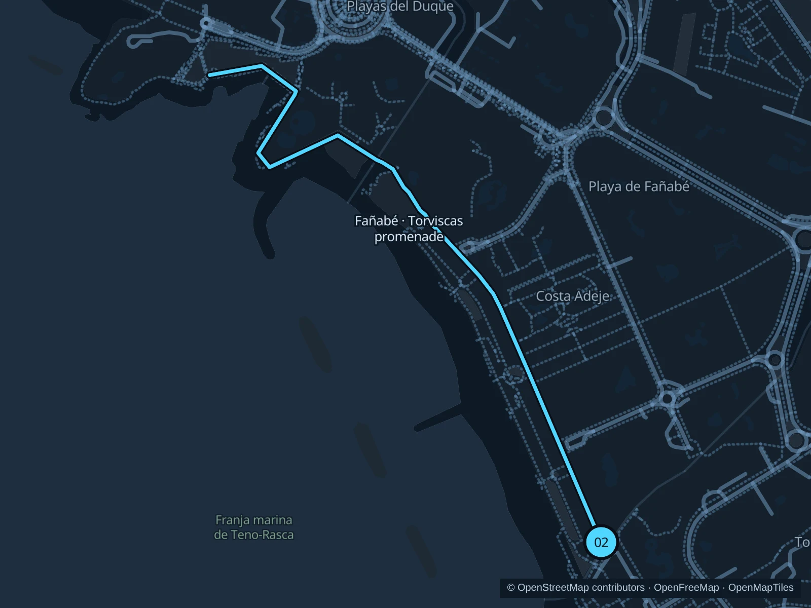
Map of the 2.3 km Fañabé · Torviscas promenade run, with start and finish marked 02.
02 Out & backOpen full-size map
Approx. distance2.3 km
Underfoot

Paved pedestrian promenade

02

Start here

On the broad upper promenade at the southern end of Playa de Torviscas, before the steps towards Puerto Colón.

Follow the main upper promenade northwest along Torviscas and Playa de Fañabé. Turn back where the promenade reaches the southern side of the Casa del Duque headland and retrace your route to Torviscas.

Getting there

Walk down from Torviscas Bajo to the southern end of the beach; stay on the public promenade outside hotel grounds.

Before you go

Stay on the upper promenade rather than dropping onto the beach boardwalks. Beach entrances and café terraces make this a slow run when busy; go early for more space.

Park / route information

Get running directions on your phone
Los Geranios · Troya

A short run along the southern resort coast, useful when you want to stay close to the San Eugenio accommodation area.

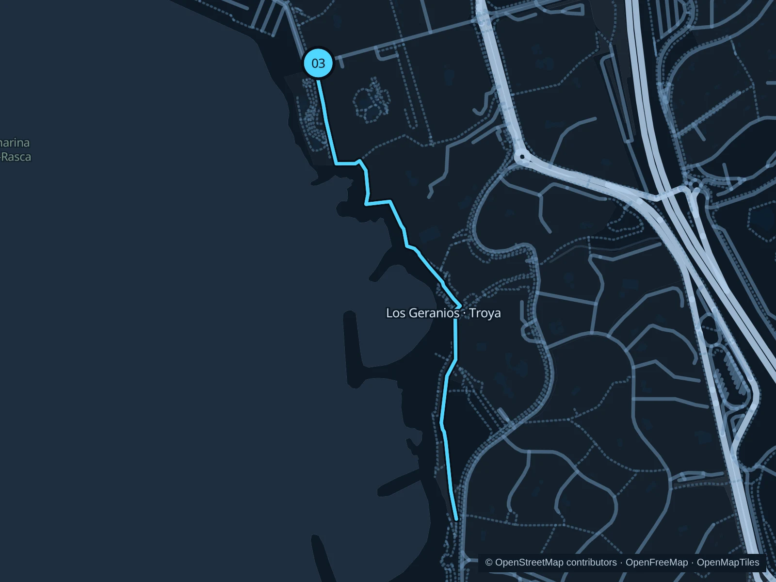
Map of the 1.7 km Los Geranios · Troya run, with start and finish marked 03.
03 Out & backOpen full-size map
Approx. distance1.7 km
Underfoot

Paving stones and several flights of steps

03

Start here

On the public seaside promenade immediately north of Playa del Bobo, at the southern end of Paseo de Los Geranios.

Follow the paved seafront south past Playa del Bobo and the two Troya beaches. Stay on the main promenade where it changes level on steps, and turn back at the southern end of Troya II.

Getting there

Walk down from San Eugenio Bajo or the Costa Adeje bus-station area; the approach from inland is downhill.

Before you go

Walk the steps and pass beach entrances slowly. This exposed section offers little continuous shade; carry water and avoid the hottest part of the day.

Park / route information

Get running directions on your phone

Get running directions on your phone

Choose a distance and start at your hotel. RunFromHere plans a loop back to your door and guides you along it. Download the area’s map before you leave to use it offline.

The app generates its own routes from your chosen start; it doesn’t open the routes in this guide.

More places to run

Las Vistas

The broad promenade between Los Cristianos and Playa de las Américas offers another paved coastal run south of Costa Adeje. Make it a separate trip rather than tacking unplanned distance onto a short run.

Park / route information

Playa San Juan

A separate coastal-town option northwest of Costa Adeje, with a promenade near the harbour. Travel by bus or car and plan your return before setting out.

Park / route information

Sources & route notes

Researched using the official visitor and park sources below; not checked on foot. Maps and GPX files use the same saved OpenStreetMap pedestrian paths. Distances are approximate. Check local notices for access, gate hours and diversions.

Researched