Skip to routes
RunFromHere
Get the app
English
Illustrated panorama of Bangkok in white linework.

Bangkok

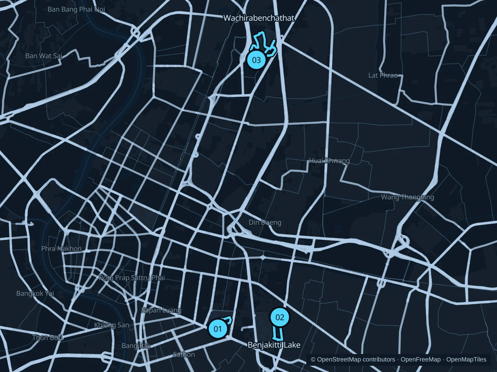
Lumphini is handy for Silom, Benjakitti for Sukhumvit, and Rot Fai for a park outing near Chatuchak. Go at first light and check the heat and air quality before you head out.

Get running directions on your phone

Find a route near your hotel

The numbers mark each start. Distances exclude the journey from your accommodation.

Map data: © OpenStreetMap contributors · OpenFreeMap · OpenMapTiles

Where to run in Bangkok

Lumphini Park

Lakes and mature trees surround a compact run close to the Silom hotel district.
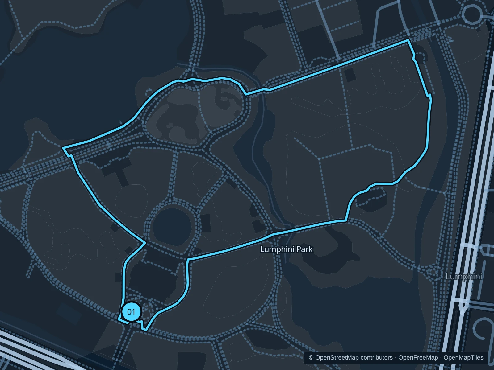
Map of the 1.6 km Lumphini Park run, with start and finish marked 01.
01 LoopOpen full-size map
Approx. distance1.6 km
Underfoot

Paved pedestrian paths

01

Start here

On the park path just north of Gate 3 on Rama IV Road.

Follow the interior lake paths and return to the same path junction near Gate 3.

Getting there

Walk from MRT Silom to the signed public path.

Before you go

Follow the posted direction and leave space for walkers and exercise groups.

Park / route information

Get running directions on your phone
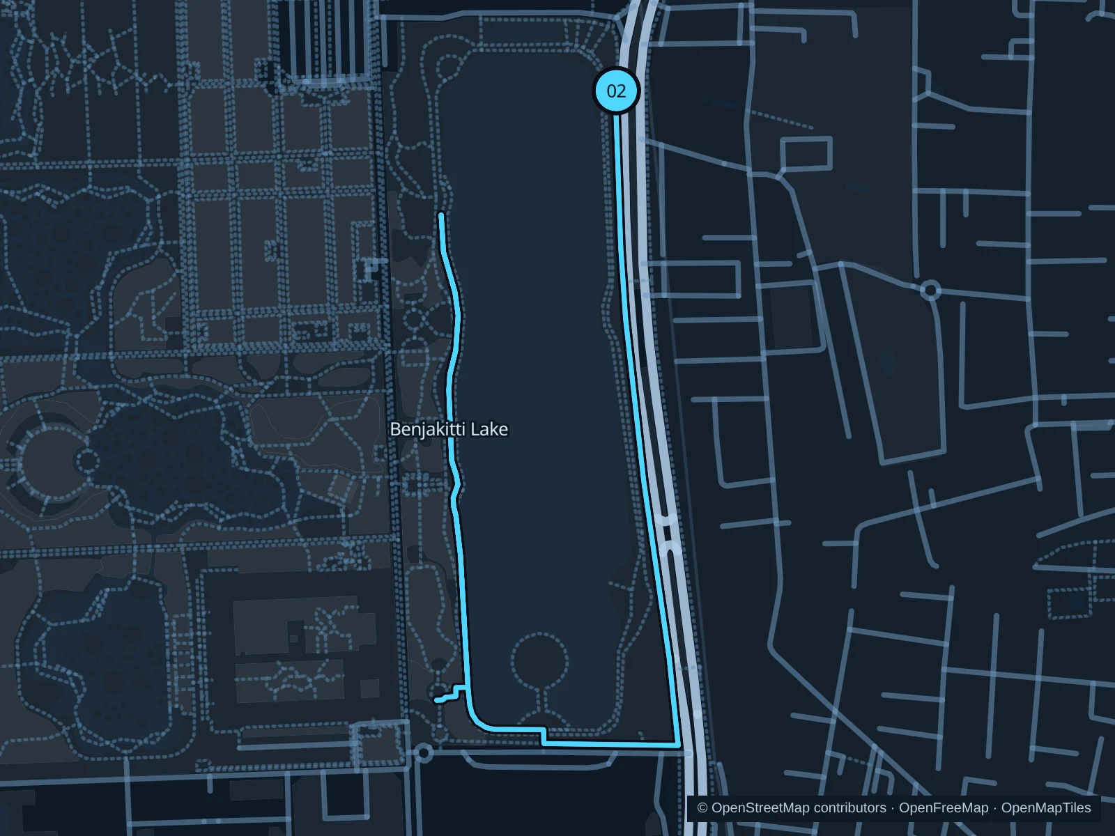
Benjakitti Lake

The lake in the park’s eastern section offers a waterside run beside Bangkok’s business towers.

Map of the 4.3 km Benjakitti Lake run, with start and finish marked 02.
02 Out & backOpen full-size map
Approx. distance4.3 km
Underfoot

Paved pedestrian paths

02

Start here

On the lake path at the northeastern entrance from Ratchadaphisek Road.

Follow the saved path to the lake’s southern end, then retrace it to the same northeastern entrance.

Getting there

Walk from MRT Queen Sirikit National Convention Centre to the signed public path.

Before you go

Use ground-level running paths; the raised nature walk is for slower visits.

Park / route information

Get running directions on your phone

Wachirabenchathat · Rot Fai Park

The former golf-course landscape gives this northern park a more open, spacious feel.

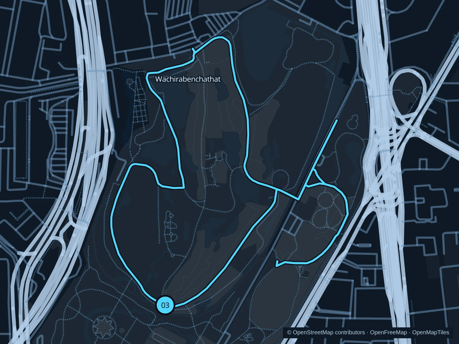
Map of the 4.5 km Wachirabenchathat · Rot Fai Park run, with start and finish marked 03.
03 LoopOpen full-size map
Approx. distance4.5 km
Underfoot

Paved pedestrian paths

03

Start here

At the southern entrance on Kamphaeng Phet 3 Road.

Follow the outer park paths north, loop around the open grounds and return on the eastern paths.

Getting there

Walk from BTS Mo Chit or MRT Chatuchak Park to the signed public path.

Before you go

Watch out for families on bikes and check the gate closing time before an evening run.

Park / route information

Get running directions on your phone

Get running directions on your phone

Choose a distance and start at your hotel. RunFromHere plans a loop back to your door and guides you along it. Download the area’s map before you leave to use it offline.

The app generates its own routes from your chosen start; it doesn’t open the routes in this guide.

More places to run

Queen Sirikit Park

Botanical plantings and ponds make it a good fit for a gentler outing beside the Chatuchak parks.

Park / route information

Sources & route notes

Researched using the official visitor and park sources below; not checked on foot. Maps and GPX files use the same saved OpenStreetMap pedestrian paths. Distances are approximate. Check local notices for access, gate hours and diversions.

Researched