Skip to routes
RunFromHere
Get the app
English
Illustrated panorama of Zurich in white linework.

Zurich

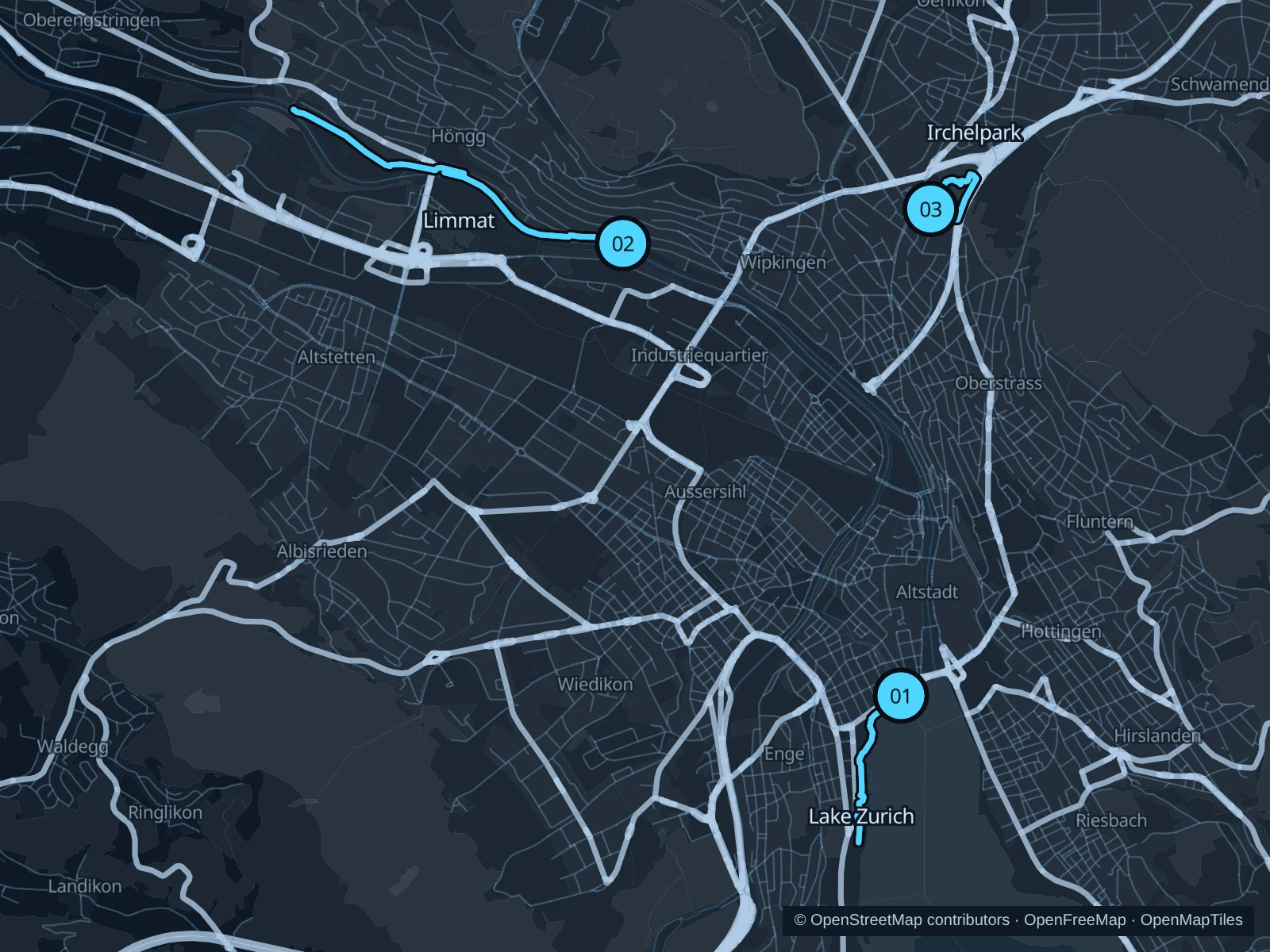
Lake and river paths make Zurich a practical city for a run between meetings or sightseeing. The western lake shore offers open views, the Limmat allows a longer outing, and Irchelpark adds a shorter green circuit north of the center.

Get running directions on your phone

Find a route near your hotel

The numbers mark each start. Distances exclude the journey from your accommodation.

Map data: © OpenStreetMap contributors · OpenFreeMap · OpenMapTiles

Where to run in Zurich

Lake Zurich · western shore

An easy-to-follow lake outing through the quay and park paths of the western shore.
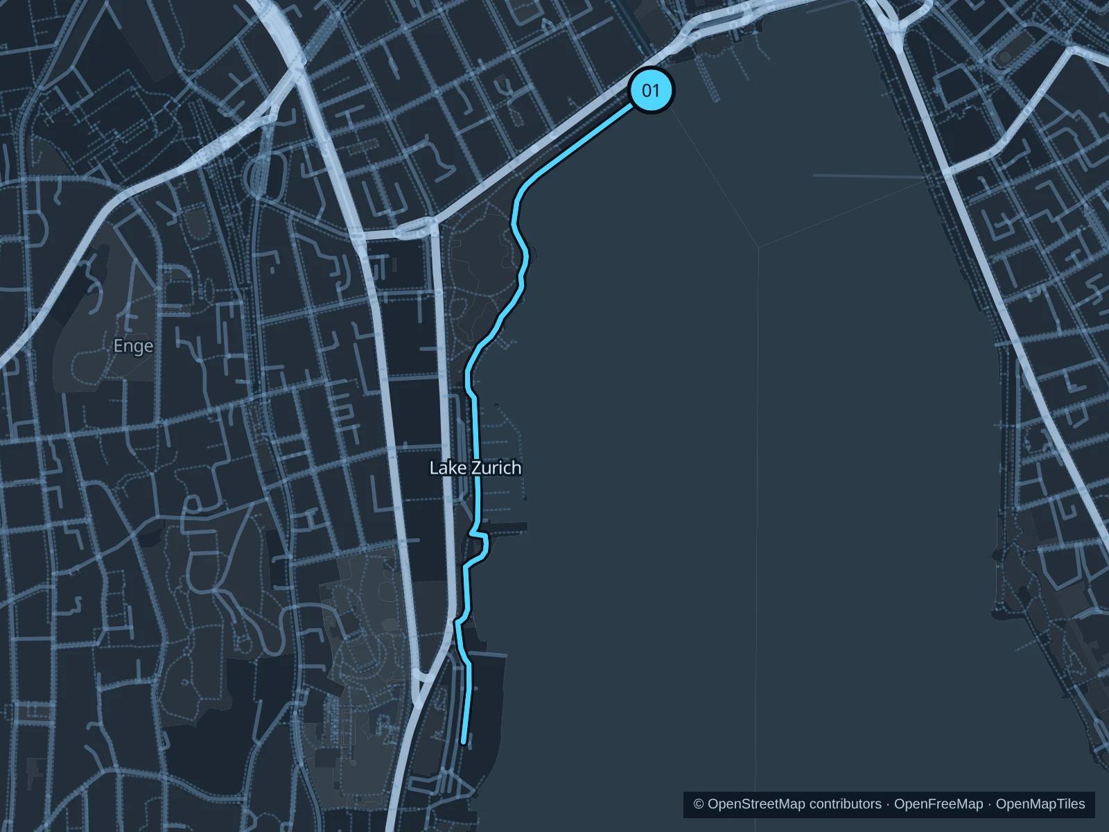
Map of the 2.5 km Lake Zurich · western shore run, with start and finish marked 01.
01 Out & backOpen full-size map
Approx. distance2.5 km
Underfoot

Paved pedestrian paths

01

Start here

On the public quay path at the western side of Bürkliplatz.

Follow the western lakeshore south through the Arboretum and along Mythenquai to the public path outside the Succulent Plant Collection, then retrace the same route.

Getting there

From Bürkliplatz tram stop, walk west to the public lakeside path.

Before you go

Walk through busy boat landings and event areas. Stay on public paths outside fenced swimming facilities.

Park / route information

Get running directions on your phone
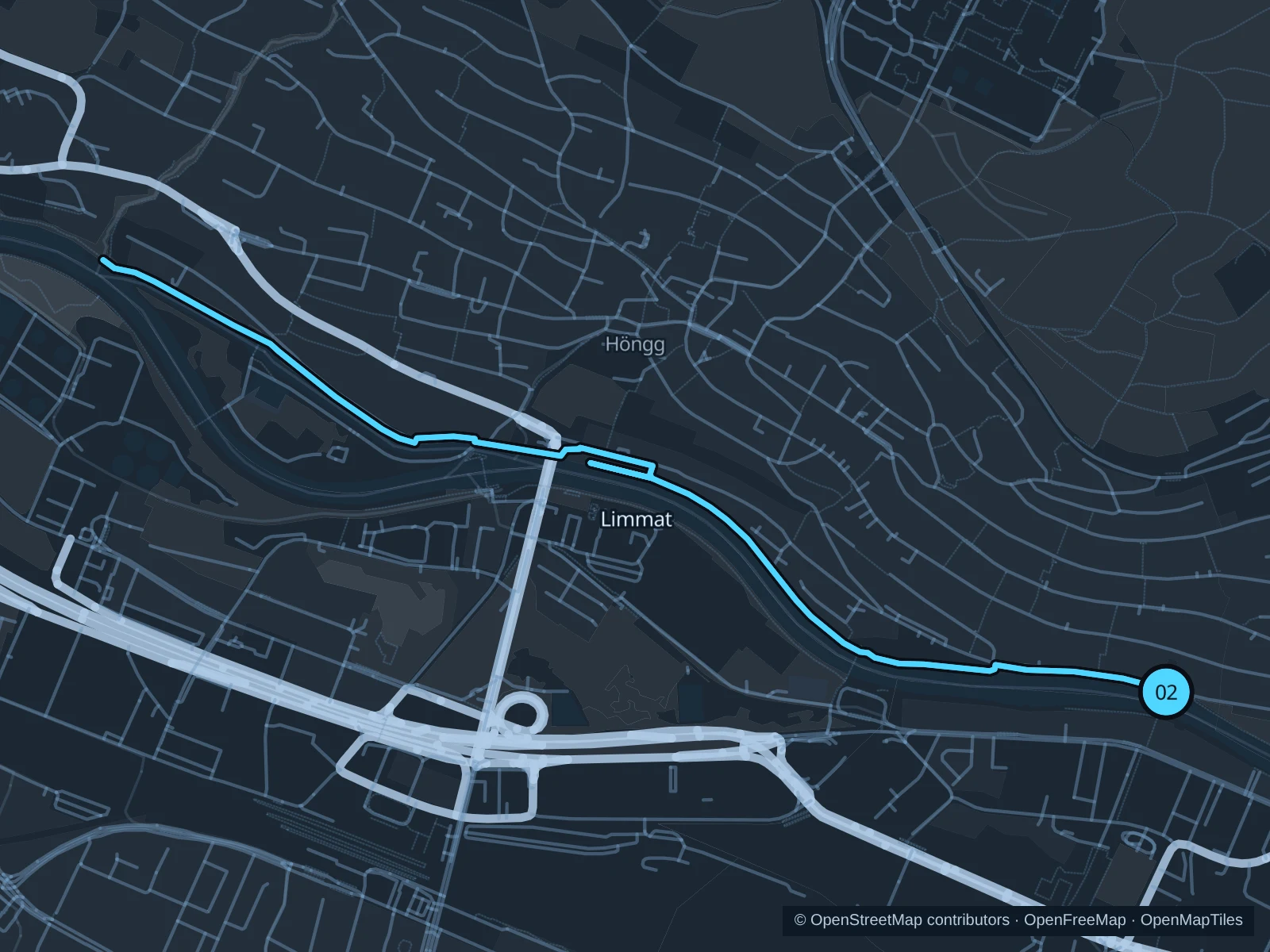
Limmat · Hardturmsteg to Werdhölzlisteg

A longer riverside run from Hardturmsteg along the greener riverbanks toward Höngg and Werdhölzli.

Map of the 6.0 km Limmat · Hardturmsteg to Werdhölzlisteg run, with start and finish marked 02.
02 Out & backOpen full-size map
Approx. distance6.0 km
Underfoot

Paved paths and compacted natural surfaces

02

Start here

On the public Kloster-Fahr-Weg at the northern end of Hardturmsteg.

Follow the public Kloster-Fahr-Weg downstream toward Werdhölzlisteg. Turn at the mapped point near the bridge and retrace the same path, using the public pedestrian connectors shown on the map.

Getting there

From Bernoulli-Häuser tram stop, walk toward the river and cross Hardturmsteg on foot to the northern bank.

Before you go

Check for current riverside and weir construction before running. Stay away from the water’s edge and slow down around dogs, cyclists and swimmers.

Park / route information

Get running directions on your phone

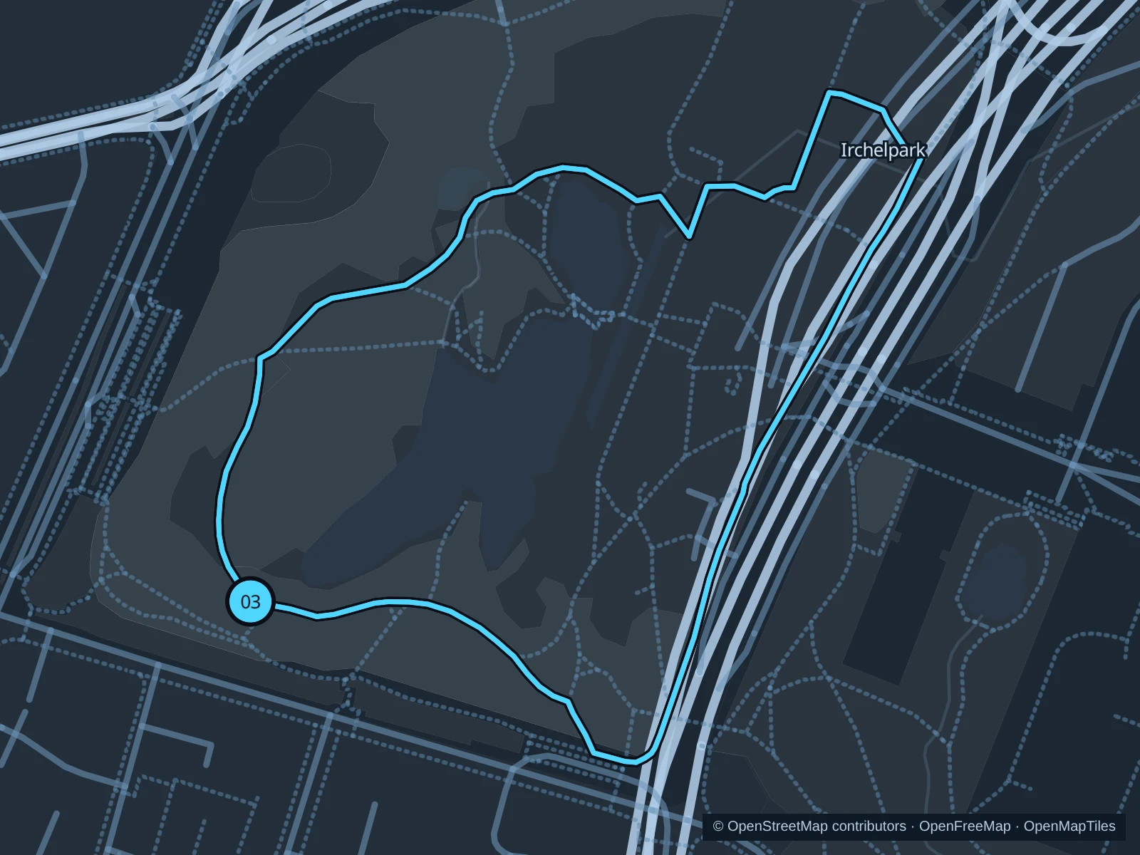
Irchelpark

Two short green laps around the pond and meadows on the western side of the park.

Map of the 2.2 km Irchelpark run, with start and finish marked 03.
03 LoopOpen full-size map
Approx. distance2.2 km
Underfoot

Paved paths and compacted natural surfaces

03

Start here

On the public path beside the southwestern end of Allmendsee in Irchelpark.

Run two laps on the public paths around the pond and through the western part of the park. The saved GPX includes both laps and stays outside university buildings.

Getting there

From Milchbuck tram and bus stops, use the public pedestrian entrance into Irchelpark.

Before you go

Follow construction and maintenance notices, leave wildlife areas undisturbed and watch for pedestrians near the university.

Park / route information

Get running directions on your phone

Get running directions on your phone

Choose a distance and start at your hotel. RunFromHere plans a loop back to your door and guides you along it. Download the area’s map before you leave to use it offline.

The app generates its own routes from your chosen start; it doesn’t open the routes in this guide.

More places to run

City fitness trails

The municipal running page lists woodland routes, woodchip tracks and fitness trails if you want a separate training session.

Park / route information

Sources & route notes

Researched using the official visitor and park sources below; not checked on foot. Maps and GPX files use the same saved OpenStreetMap pedestrian paths. Distances are approximate. Check local notices for access, gate hours and diversions.

Researched