Skip to routes
RunFromHere
Get the app
English
Illustrated panorama of Vienna in white linework.

Vienna

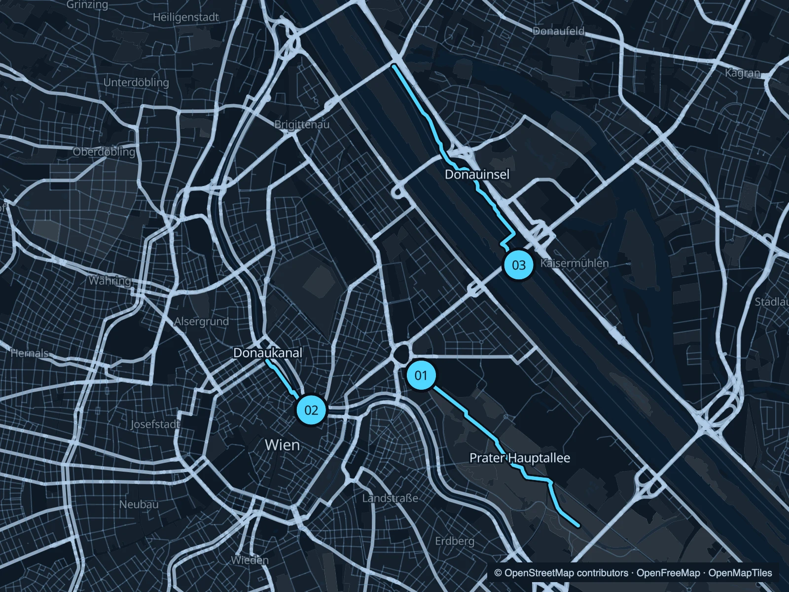
Vienna gives visiting runners several quite different settings: the tree-lined Hauptallee in the Prater, the urban edge of the Donaukanal and the open paths of the Donauinsel. All three routes return to their starting point, so you can turn earlier if time is short.

Get running directions on your phone

Find a route near your hotel

The numbers mark each start. Distances exclude the journey from your accommodation.

Map data: © OpenStreetMap contributors · OpenFreeMap · OpenMapTiles

Where to run in Vienna

Prater Hauptallee

Long straight stretches under trees, with the city’s amusement park behind you. This run covers part of the Hauptallee corridor.
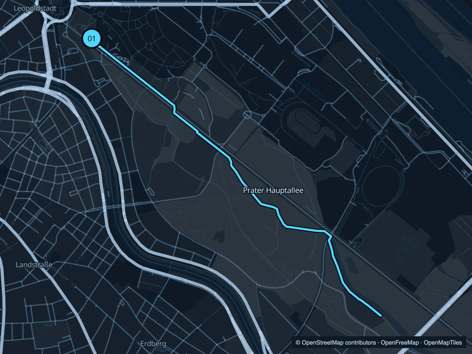
Map of the 5.6 km Prater Hauptallee run, with start and finish marked 01.
01 Out & backOpen full-size map
Approx. distance5.6 km
Underfoot

Paved and adjacent park paths

01

Start here

At the northwestern end of the Hauptallee near Praterstern.

Run southeast along the avenue and adjoining paths, then return before the far end of the park.

Getting there

Walk from Praterstern station towards the Hauptallee.

Before you go

Share the avenue with bikes and other park users. Give way at the road crossings.

Park / route information

Get running directions on your phone
Donaukanal

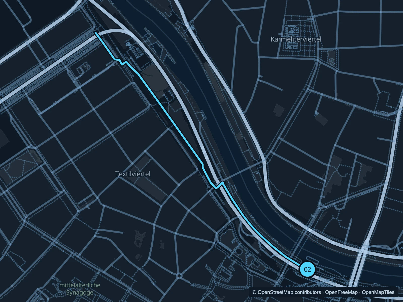
A short canal-side run between the Schwedenbrücke and Schottenring areas, close to the old town.

Map of the 1.7 km Donaukanal run, with start and finish marked 02.
02 Out & backOpen full-size map
Approx. distance1.7 km
Underfoot

Paved canal-side paths

02

Start here

On the canal path near Schwedenbrücke.

Follow the canal path northwest towards Schottenring, turn at the marked point and retrace your route.

Getting there

Walk from Schwedenplatz to a public descent to the canal.

Before you go

The lower paths have limited shade and can be busy around bars. Respect closures and event barriers.

Park / route information

Get running directions on your phone

Donauinsel

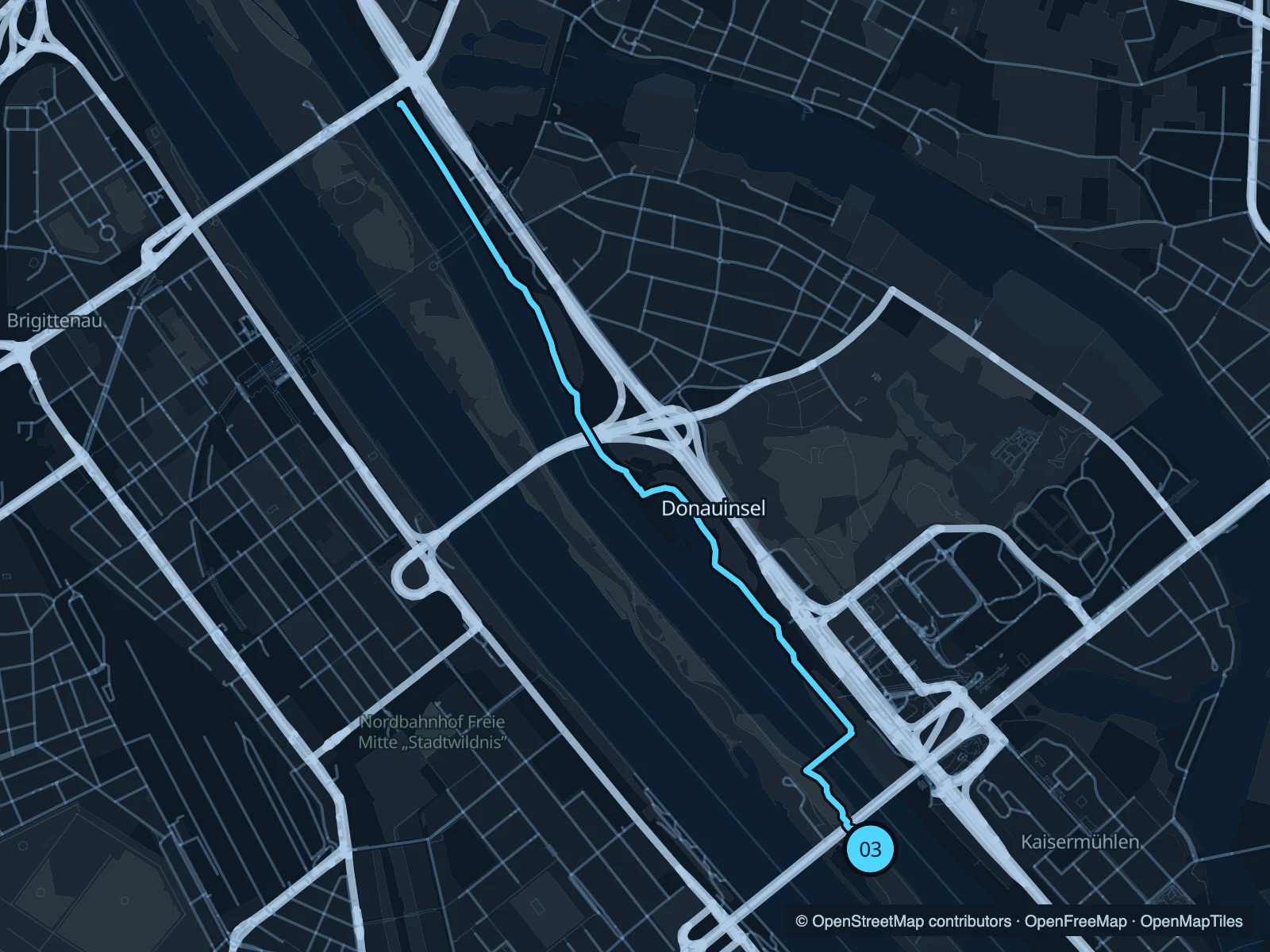
An open island between the Danube channels. The out-and-back follows the park paths northwest from the bridge approach.

Map of the 6.3 km Donauinsel run, with start and finish marked 03.
03 Out & backOpen full-size map
Approx. distance6.3 km
Underfoot

Paved shared island paths

03

Start here

On the island path near Reichsbrücke and Donauinsel station.

Head northwest along the island, follow the mapped path around access junctions and return.

Getting there

Use Donauinsel U-Bahn station and walk down to the island paths.

Before you go

The island is exposed to weather. Stay in pedestrian space and look for bikes at intersections.

Park / route information

Get running directions on your phone

Get running directions on your phone

Choose a distance and start at your hotel. RunFromHere plans a loop back to your door and guides you along it. Download the area’s map before you leave to use it offline.

The app generates its own routes from your chosen start; it doesn’t open the routes in this guide.

More places to run

Sources & route notes

Researched using the official visitor and park sources below; not checked on foot. Maps and GPX files use the same saved OpenStreetMap pedestrian paths. Distances are approximate. Check local notices for access, gate hours and diversions.

Researched