Skip to routes
RunFromHere
Get the app
English
Illustrated panorama of Venice in white linework.

Venice

Running in Venice needs a little planning: narrow lanes and stepped bridges can interrupt even a short outing. Sant’Elena gives you green space beyond the busiest sights. The Lido and Parco San Giuliano are separate alternatives, so allow for the boat or mainland journey before the run.

Get running directions on your phone

Find a route near your hotel

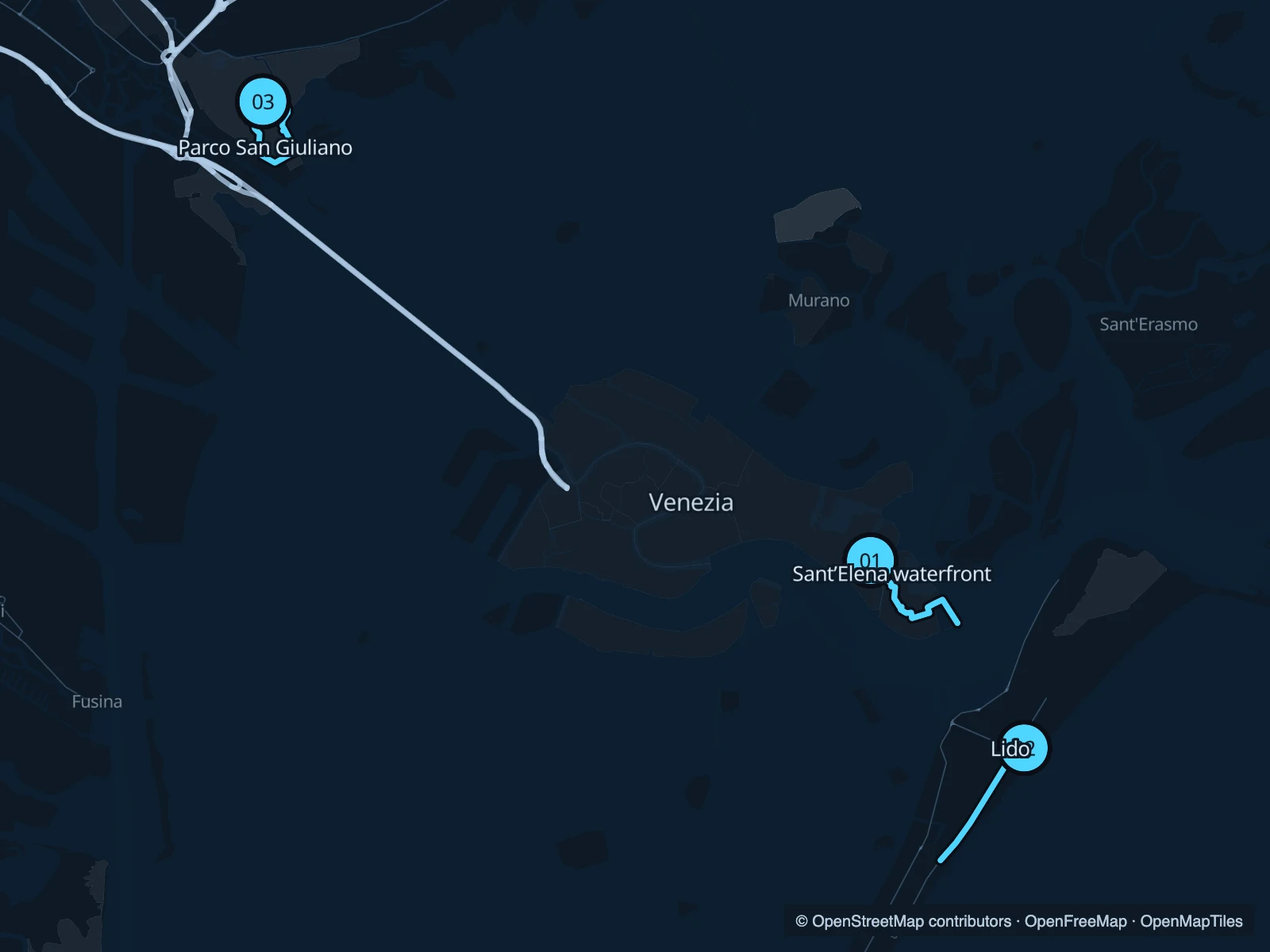
The numbers mark each start. Distances exclude the journey from your accommodation.

Map data: © OpenStreetMap contributors · OpenFreeMap · OpenMapTiles

Where to run in Venice

Sant’Elena & the eastern gardens

A run through the eastern neighbourhood paths and the green spaces near the lagoon. It is quieter in character than the San Marco approaches.
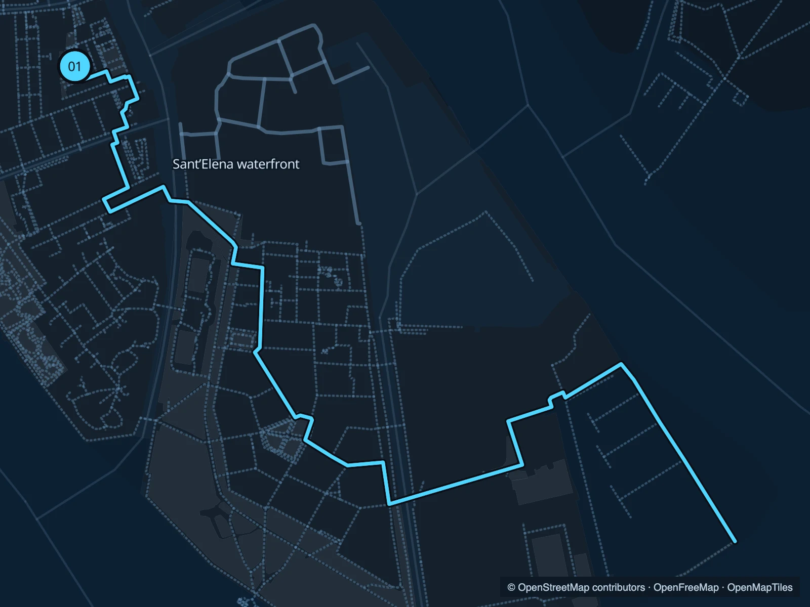
Map of the 3.5 km Sant’Elena & the eastern gardens run, with start and finish marked 01.
01 Out & backOpen full-size map
Approx. distance3.5 km
Underfoot

Paving, park paths and stepped bridges

01

Start here

At the northern end of Viale Giuseppe Garibaldi.

Head southeast through the public garden paths towards Sant’Elena, then retrace your route.

Getting there

Walk through Castello, or approach from the Giardini vaporetto area.

Before you go

Expect bridges and narrow passages. Walk busy sections; this route does not enter the Biennale exhibition grounds.

Park / route information

Get running directions on your phone
Lido · Adriatic promenade

The Adriatic side of the island offers a straighter run than central Venice. This route follows the public seaside promenade.

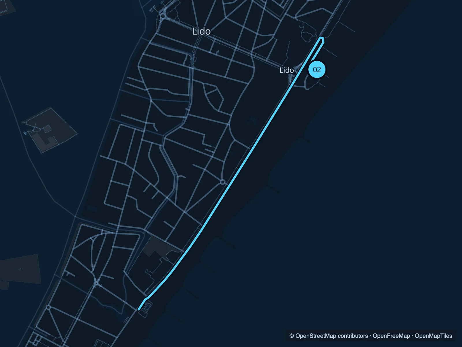
Map of the 3.5 km Lido · Adriatic promenade run, with start and finish marked 02.
02 Out & backOpen full-size map
Approx. distance3.5 km
Underfoot

Paved promenade and pavement

02

Start here

On Lungomare Guglielmo Marconi near the central beach access.

Follow the public promenade southwest and return at the marked endpoint.

Getting there

From Lido Santa Maria Elisabetta vaporetto stop, cross the island on foot or use local transport.

Before you go

Stay on the public promenade rather than entering private beach clubs. The boat journey is not part of the route.

Park / route information

Get running directions on your phone

Parco San Giuliano

A mainland park with open lawns and lagoon-side views. It makes most sense if you are already staying in Mestre.

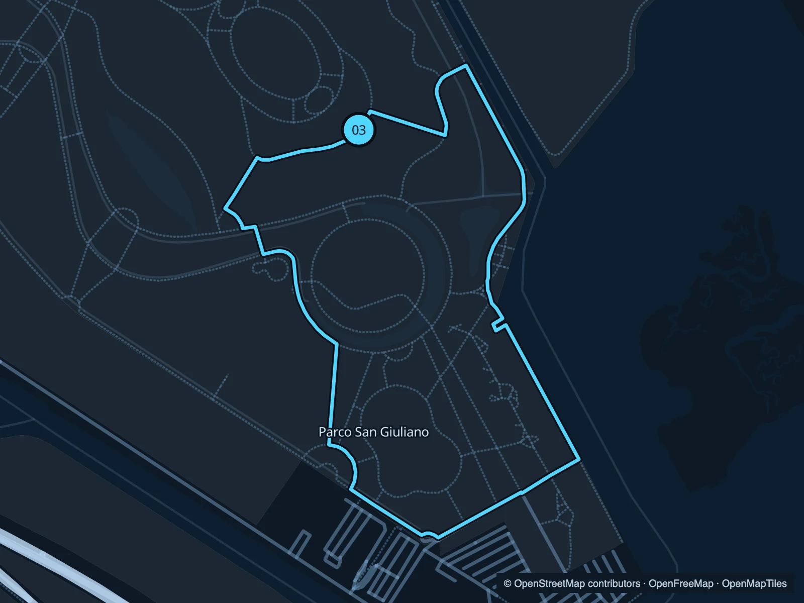
Map of the 2.2 km Parco San Giuliano run, with start and finish marked 03.
03 LoopOpen full-size map
Approx. distance2.2 km
Underfoot

Paved and mixed park paths

03

Start here

At the northern park paths from the Via San Giuliano approach.

Loop through the public park paths and return to the northern access.

Getting there

Use the signed pedestrian approaches from Mestre; check the crossing route before setting off.

Before you go

Events may occupy parts of the park. This route stays on the mainland and includes no lagoon crossing.

Park / route information

Get running directions on your phone

Get running directions on your phone

Choose a distance and start at your hotel. RunFromHere plans a loop back to your door and guides you along it. Download the area’s map before you leave to use it offline.

The app generates its own routes from your chosen start; it doesn’t open the routes in this guide.

More places to run

San Nicolò, Lido

The northern end of the Lido offers another area to explore on foot, with a different setting from the central promenade.

Park / route information

Alberoni, Lido

For a longer trip, look at the southern end of the island and its protected natural areas; follow the marked access paths.

Park / route information

Sources & route notes

Researched using the official visitor and park sources below; not checked on foot. Maps and GPX files use the same saved OpenStreetMap pedestrian paths. Distances are approximate. Check local notices for access, gate hours and diversions.

Researched