Skip to routes
RunFromHere
Get the app
English
Illustrated panorama of Vancouver in white linework.

Vancouver

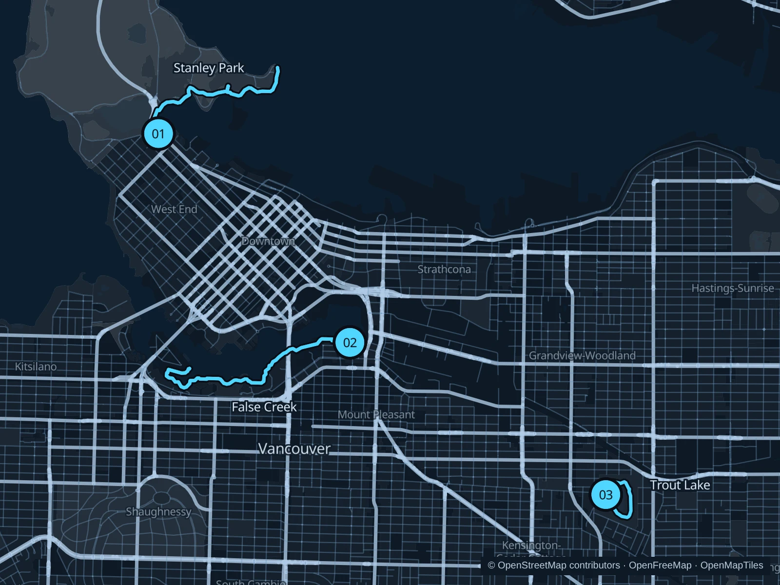
Stanley Park’s eastern seawall gives harbor views without committing to a full circuit. False Creek suits central stays, while Trout Lake offers a shorter neighborhood park run.

Get running directions on your phone

Find a route near your hotel

The numbers mark each start. Distances exclude the journey from your accommodation.

Map data: © OpenStreetMap contributors · OpenFreeMap · OpenMapTiles

Where to run in Vancouver

Stanley Park · eastern seawall

The eastern shore looks across the working harbor toward the North Shore mountains.
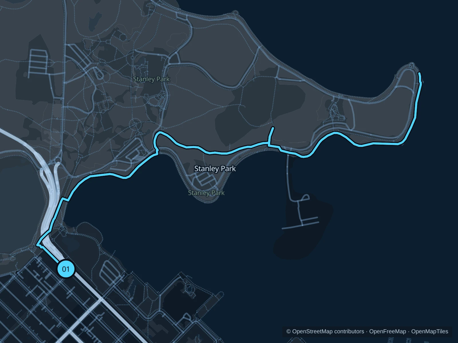
Map of the 4.8 km Stanley Park · eastern seawall run, with start and finish marked 01.
01 Out & backOpen full-size map
Approx. distance4.8 km
Underfoot

Paved pedestrian paths

01

Start here

At the seawall junction in Devonian Harbour Park.

Follow the eastern seawall to Brockton Point Lighthouse, then return along the same path.

Getting there

Walk from the Stanley Park bus stops or follow the Coal Harbour waterfront walk to the signed public path.

Before you go

Turn back at Brockton Point. The separate seawall section from Lumberman’s Arch to Third Beach closes October 19–November 7, 2026, with intermittent closures possible until November 20. Check current notices.

Park / route information

Get running directions on your phone
False Creek · southern shore

This route passes marinas, residential waterfronts and bridge views while staying close to the central neighborhoods.

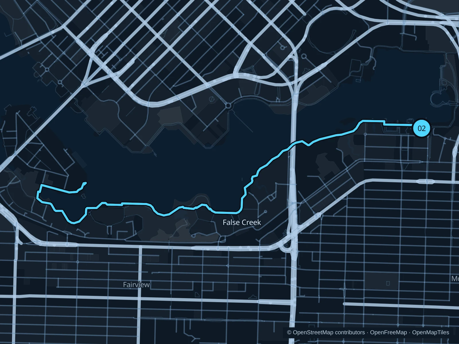
Map of the 6.1 km False Creek southern-shore run, with start and finish marked 02.
02 Out & backOpen full-size map
Approx. distance6.1 km
Underfoot

Paved pedestrian paths

02

Start here

On the seawall beside the public square in Olympic Village.

Follow the southern shore of False Creek to the public waterfront path at the eastern tip of Ron Basford Park on Granville Island, then retrace the same path.

Getting there

Walk from Olympic Village SkyTrain station, then follow the waterfront path to the signed public path.

Before you go

Use the walking side of the seawall and slow down near ferry landings.

Park / route information

Get running directions on your phone

Trout Lake

A small freshwater lake and open park lawns suit a short run away from downtown crowds.

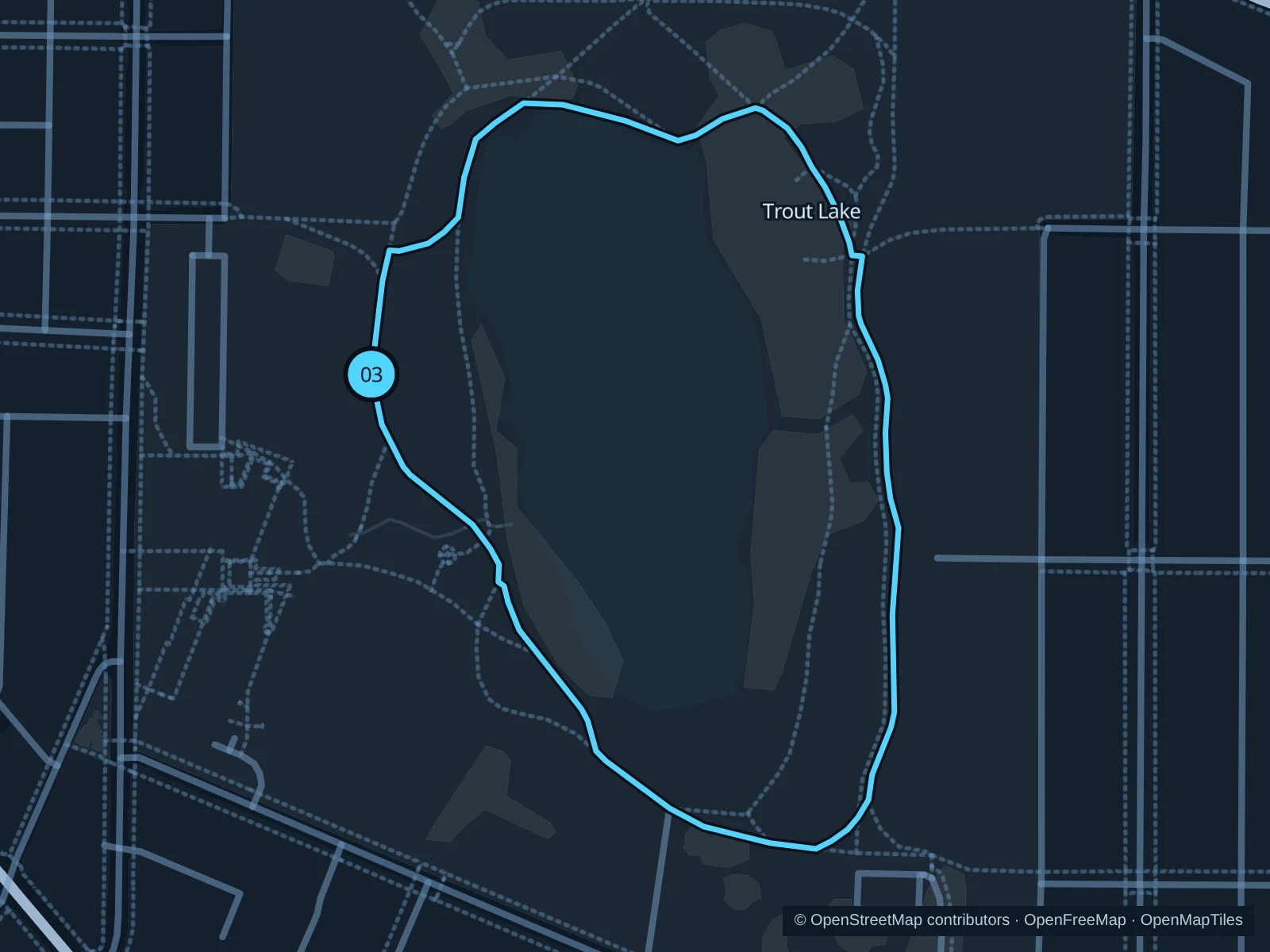
Map of the 1.2 km Trout Lake run, with start and finish marked 03.
03 LoopOpen full-size map
Approx. distance1.2 km
Underfoot

Paved paths and compacted natural surfaces

03

Start here

On the lakeside path by Trout Lake Community Centre.

Circle the lake on the main park paths and return to the community-center side.

Getting there

Walk from Commercial–Broadway SkyTrain station, then follow Victoria Drive to the signed public path.

Before you go

Watch for dogs in designated off-leash areas and avoid muddy shore edges.

Park / route information

Get running directions on your phone

Get running directions on your phone

Choose a distance and start at your hotel. RunFromHere plans a loop back to your door and guides you along it. Download the area’s map before you leave to use it offline.

The app generates its own routes from your chosen start; it doesn’t open the routes in this guide.

More places to run

Sources & route notes

Researched using the official visitor and park sources below; not checked on foot. Maps and GPX files use the same saved OpenStreetMap pedestrian paths. Distances are approximate. Check local notices for access, gate hours and diversions.

Researched