
Skip to routes
RunFromHere
Get the app
English
Illustrated panorama of Valletta in white linework.

Valletta

Valletta’s hills, steps and busy streets make a continuous city-centre run awkward. These three options use nearby public spaces instead: Floriana’s garden walk near City Gate, Sliema’s open-sea promenade and the Birgu waterfront across Grand Harbour. Travel to Sliema or the Three Cities before starting; ferry crossings are not part of the saved runs.

Get running directions on your phone

Find a route near your hotel

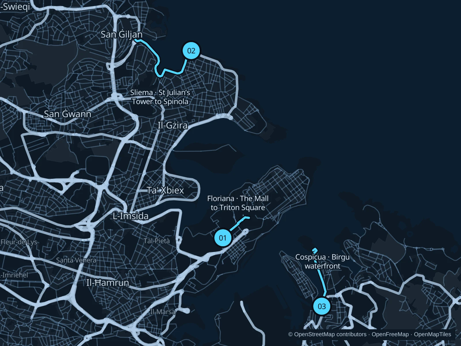
The numbers mark each start. Distances exclude the journey from your accommodation.

Map data: © OpenStreetMap contributors · OpenFreeMap · OpenMapTiles

Where to run in Valletta

Floriana · The Mall to Triton Square

A short run just outside Valletta’s walls, combining the long garden walk with the open approach to City Gate.
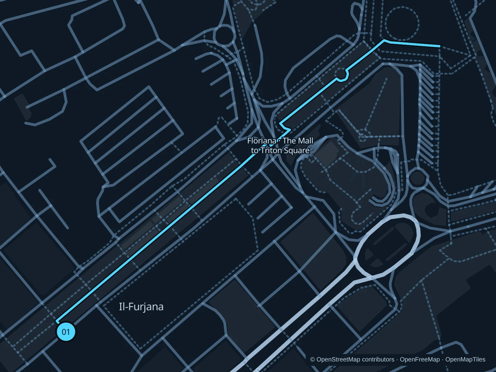
Map of the 1.1 km Floriana · The Mall to Triton Square run, with start and finish marked 01.
01 Out & backOpen full-size map
Approx. distance1.1 km
Underfoot

Paved garden paths, a marked road crossing and steps

01

Start here

At the southwest entrance to The Mall gardens in Floriana, beside the southern end of the central garden walk.

Follow the garden walk northeast to the Independence Monument. Use the marked crossing and public paths towards Triton Square, walk up the short steps and turn back on the square.

Getting there

Walk from Valletta’s bus terminus or City Gate towards the Independence Monument, then continue through The Mall to its far end.

Before you go

This is the short option, not a circuit of Valletta’s steep streets. Give way at the road crossing, walk the steps and respect any garden or event closures.

Park / route information

Get running directions on your phone
Sliema · St Julian’s Tower to Spinola

An open-sea promenade run with changing bays, useful if you are staying in Sliema or willing to travel across from Valletta.

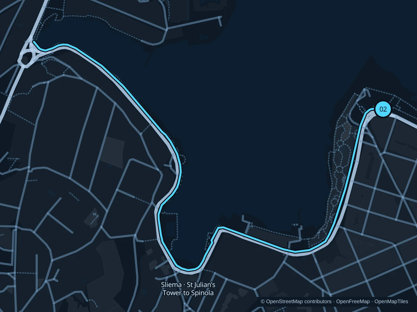
Map of the 3.1 km Sliema · St Julian’s Tower to Spinola run, with start and finish marked 02.
02 Out & backOpen full-size map
Approx. distance3.1 km
Underfoot

Paved promenade and seafront footways

02

Start here

On the public promenade beside St Julian’s Tower in Sliema, above Exiles Bay.

Follow the seafront southwest past Exiles and Independence Garden to Balluta Bay, then round the bay and continue northwest along the promenade to Spinola Bay. Turn back by the harbourfront square.

Getting there

From Valletta take a bus to the Sliema seafront, or the Sliema ferry followed by a walk across town to Tower Road. The ferry journey is outside the route.

Before you go

The promenade is exposed to waves in rough weather. Avoid lower bathing platforms, slow down past café terraces and check the return ferry before leaving Valletta.

Park / route information

Get running directions on your phone

Cospicua · Birgu waterfront

A harbour-side alternative with marina views and Fort St Angelo ahead, across Grand Harbour from Valletta.

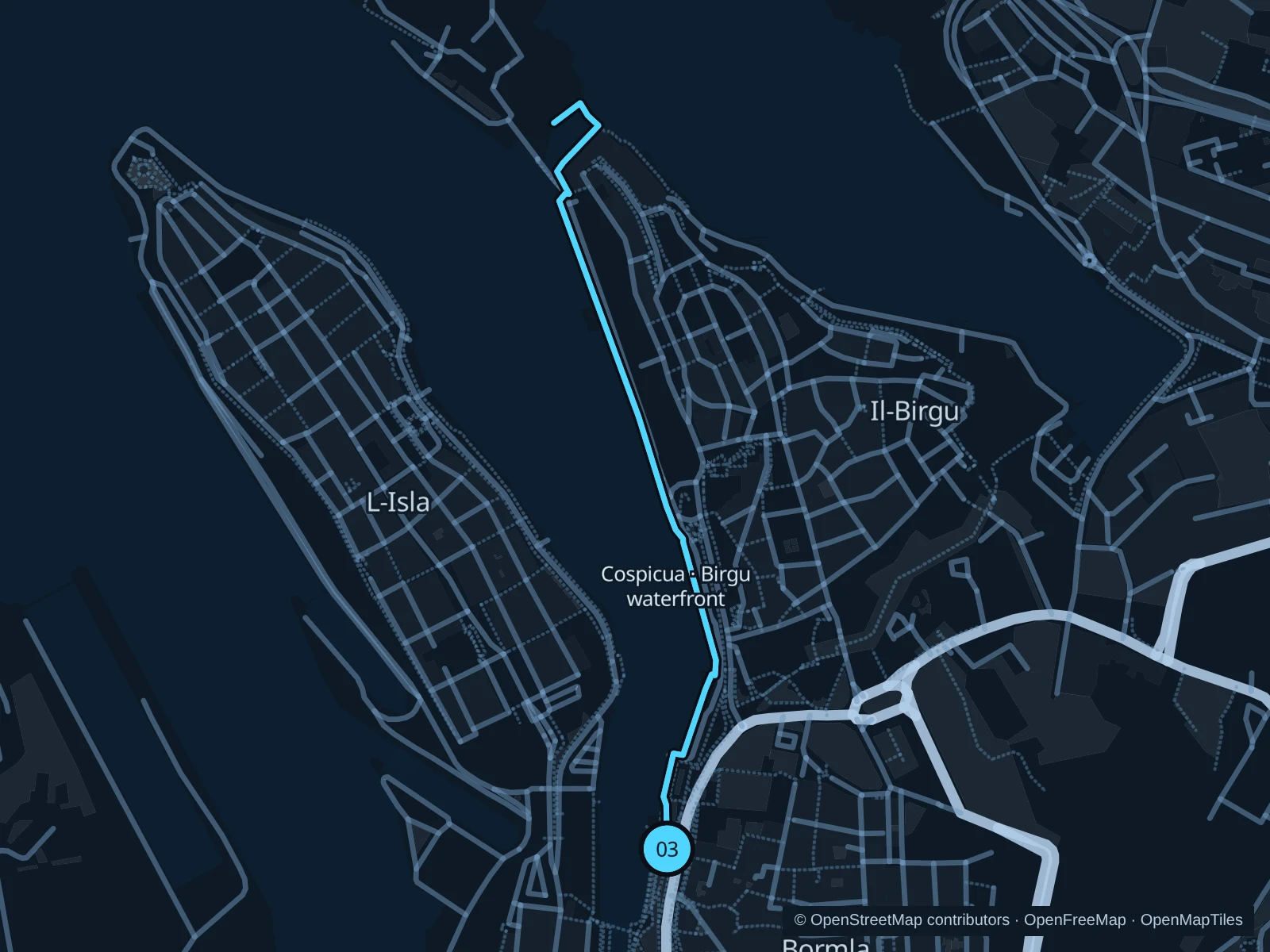
Map of the 2.0 km Cospicua · Birgu waterfront run, with start and finish marked 03.
03 Out & backOpen full-size map
Approx. distance2.0 km
Underfoot

Paved public waterfront paths

03

Start here

On the east-side public promenade at the northern end of Dock No. 1 in Cospicua, near the Bormla ferry landing.

Follow the public east-bank waterfront north towards Birgu, past the marina and the Maritime Museum frontage. Continue along Ix-Xatt tal-Birgu to the quay below Fort St Angelo and return.

Getting there

Take the Valletta–Cospicua ferry or a bus to the Three Cities. Walk onto the public dock promenade; the sailing is not included in the running distance.

Before you go

Use the public landside path, not boat pontoons or museum entrances. The fort is a separate ticketed visit; ferry operation depends on weather and the current timetable.

Park / route information

Get running directions on your phone

Get running directions on your phone

Choose a distance and start at your hotel. RunFromHere plans a loop back to your door and guides you along it. Download the area’s map before you leave to use it offline.

The app generates its own routes from your chosen start; it doesn’t open the routes in this guide.

More places to run

Ta’ Qali

A separate inland outing with running and walking areas in the national park. Go by bus or taxi and check which sections are open during ongoing park improvements.

Park / route information

Ta’ Xbiex waterfront

A harbourside alternative near Gżira, though regeneration works may interrupt the promenade. Check access locally first and don’t count on an uninterrupted extension from Sliema.

Park / route information

Sources & route notes

Researched using the official visitor and park sources below; not checked on foot. Maps and GPX files use the same saved OpenStreetMap pedestrian paths. Distances are approximate. Check local notices for access, gate hours and diversions.

Researched