Skip to routes
RunFromHere
Get the app
English
Illustrated panorama of Valencia in white linework.

Valencia

Valencia makes it easy to fit a run into a city break: follow the Turia’s former riverbed, head to the broad beach promenade or choose a shorter circuit in Cabecera Park. In hot weather, start early and leave time for the trip to your chosen starting point.

Get running directions on your phone

Find a route near your hotel

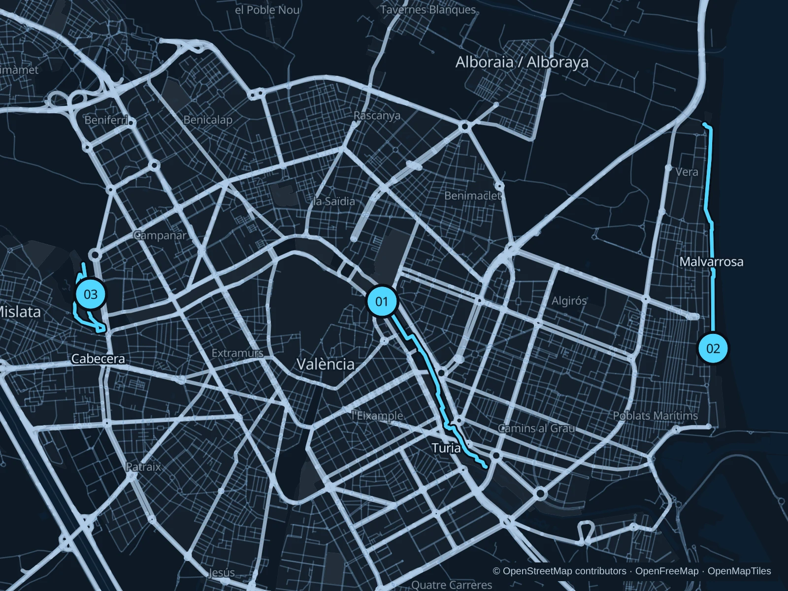
The numbers mark each start. Distances exclude the journey from your accommodation.

Map data: © OpenStreetMap contributors · OpenFreeMap · OpenMapTiles

Where to run in Valencia

Jardín del Turia

A longer run through the former riverbed, linking historic bridges with the gardens near the City of Arts and Sciences.
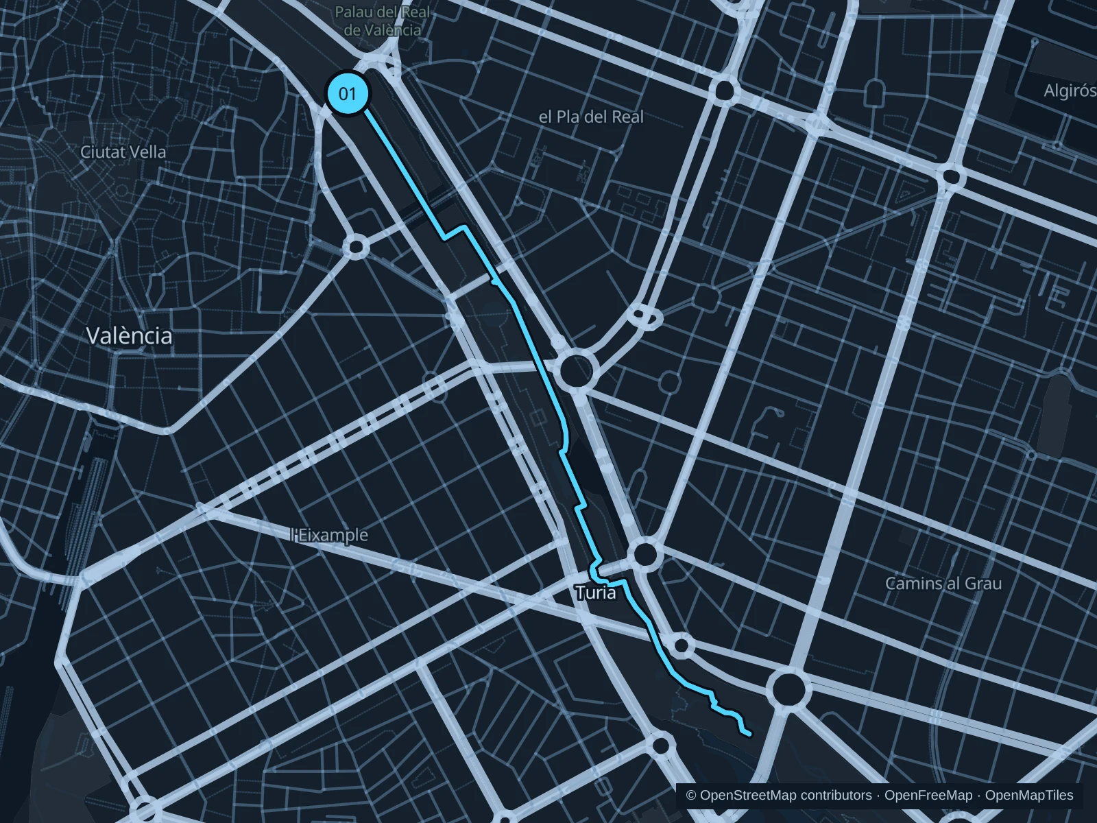
Map of the 5.2 km Jardín del Turia run, with start and finish marked 01.
01 Out & backOpen full-size map
Approx. distance5.2 km
Underfoot

Paved paths and compacted natural surfaces

01

Start here

On the lower public garden path beside Pont del Real.

Follow the lower public garden paths southeast from Pont del Real, past the Palau de la Música and Gulliver playground area. Turn around near Pont de Montolivet and return along the same garden paths.

Getting there

From Alameda metro station, walk northwest along the garden edge to Pont del Real and use a public ramp down into the gardens.

Before you go

Use pedestrian and running paths and stay out of dedicated bike lanes. The running circuit is being extended in 2026; obey construction barriers rather than assuming the full planned extension is open.

Park / route information Park / route information Park / route information

Get running directions on your phone
Cabanyal and Malvarrosa promenade

A flat seaside out-and-back on the public promenade, with sea breeze and little shade.

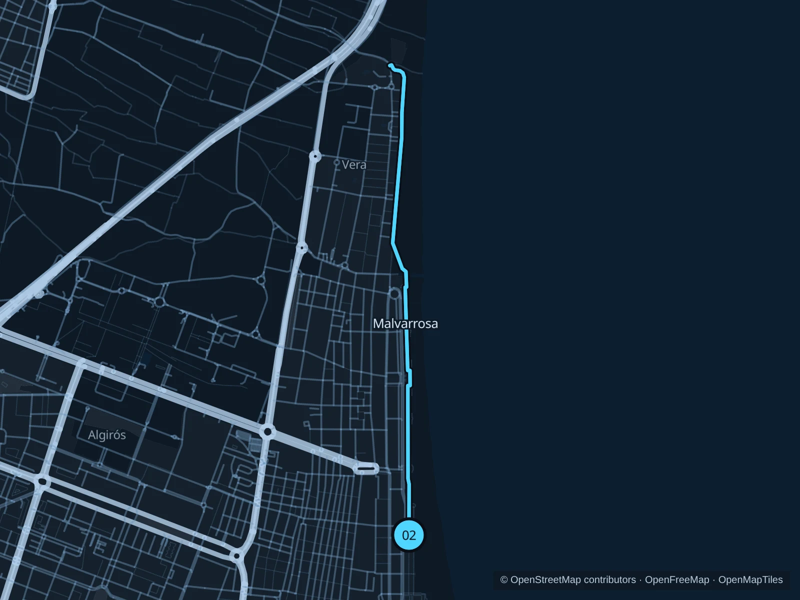
Map of the 5.4 km Cabanyal and Malvarrosa promenade run, with start and finish marked 02.
02 Out & backOpen full-size map
Approx. distance5.4 km
Underfoot

Paved pedestrian paths

02

Start here

On Passeig Marítim near the northern end of Cabanyal beach.

Follow the paved public promenade north past Malvarrosa toward Patacona. Turn around at the mapped point on the Patacona promenade and return the same way.

Getting there

From Platja les Arenes tram stop, walk east to the promenade and then north to the marked start near the Cabanyal–Malvarrosa beach boundary. This walk is outside the run.

Before you go

Go early in warm weather and carry water. Slow to a walk around beach access points and restaurant terraces, and leave the separate bike lane clear.

Park / route information

Get running directions on your phone

Parque de Cabecera

A shorter green circuit on public paths around the lake landscape at the head of the Turia gardens.

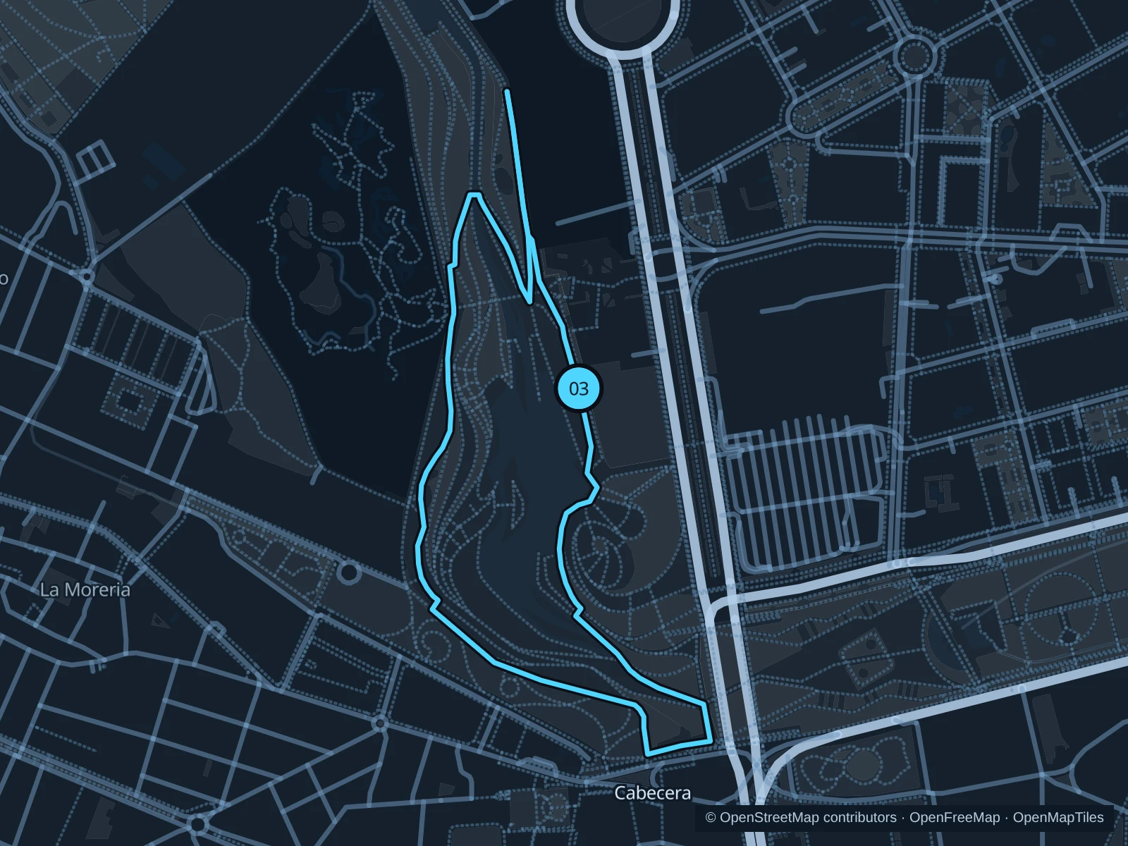
Map of the 2.2 km Parque de Cabecera run, with start and finish marked 03.
03 LoopOpen full-size map
Approx. distance2.2 km
Underfoot

Paved paths and compacted natural surfaces

03

Start here

On the public park path near the Avenida Pío Baroja entrance.

Follow the public paths south toward the lake, continue through the western park landscape and return along the northern and eastern paths to Avenida Pío Baroja.

Getting there

From Nou d’Octubre metro station, walk north toward the park and use the public access from Avenida Pío Baroja. This approach is outside the mapped run.

Before you go

Stay on public park paths outside the ticketed Bioparc. Give families and boat users space near the water and obey temporary maintenance barriers.

Park / route information

Get running directions on your phone

Get running directions on your phone

Choose a distance and start at your hotel. RunFromHere plans a loop back to your door and guides you along it. Download the area’s map before you leave to use it offline.

The app generates its own routes from your chosen start; it doesn’t open the routes in this guide.

More places to run

Parque Central

This public park near Ruzafa offers a separate short outing. Check its seasonal gates: the tourism board lists 8am–7pm in autumn and winter.

Park / route information

Jardines del Real / Viveros

The free public gardens north of the old town offer shady paths; slow down around visitors and check evening closing times.

Park / route information

Sources & route notes

Researched using the official visitor and park sources below; not checked on foot. Maps and GPX files use the same saved OpenStreetMap pedestrian paths. Distances are approximate. Check local notices for access, gate hours and diversions.

Researched