Skip to routes
RunFromHere
Get the app
English
Illustrated panorama of Turin in white linework.

Turin

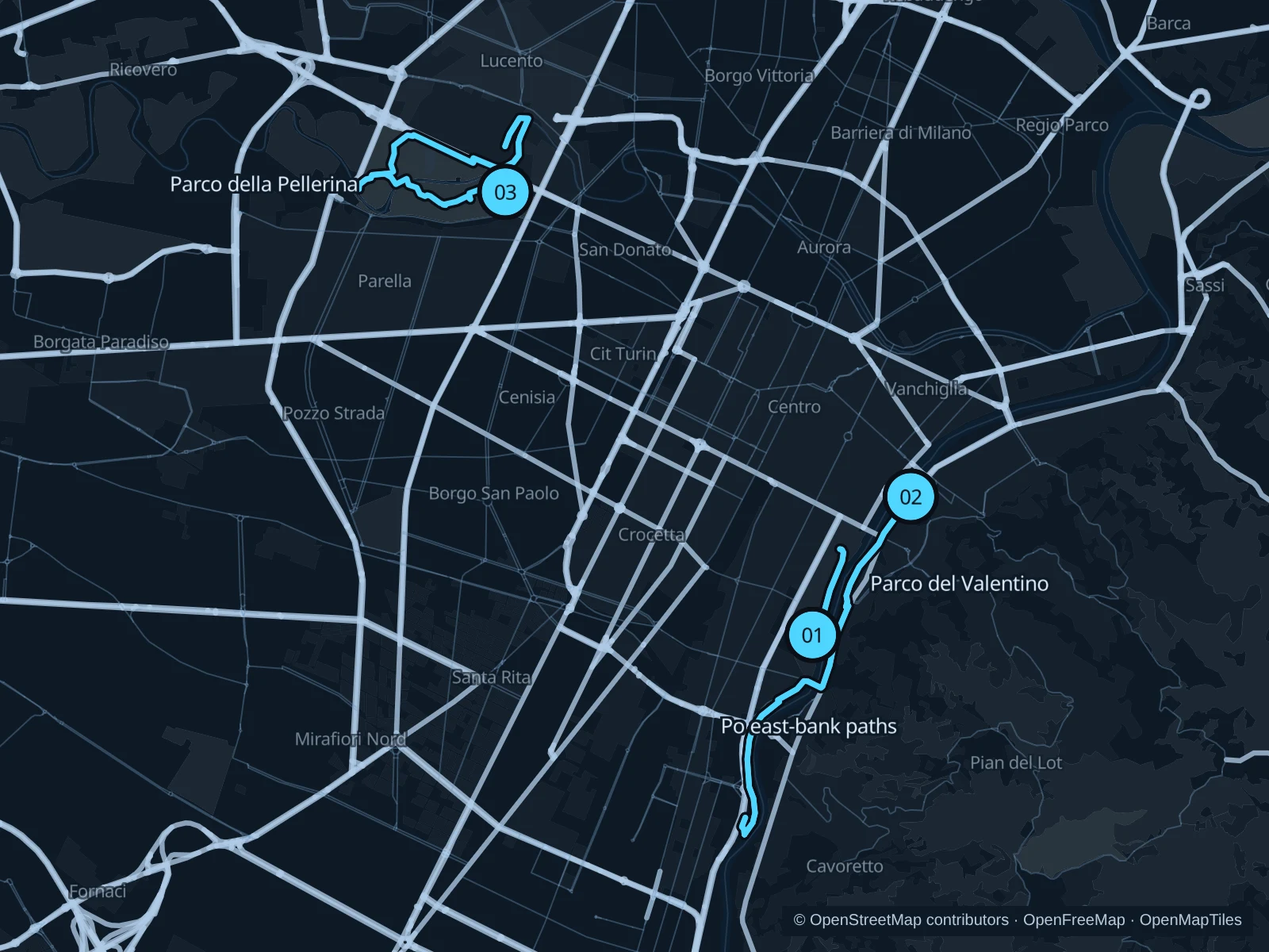
Turin’s parks and rivers make it easy to fit in a run during a city stay. Valentino combines lawns and Po views near the center, the opposite riverbank gives you a longer outing, and Pellerina offers a change of scenery beside the Dora Riparia.

Get running directions on your phone

Find a route near your hotel

The numbers mark each start. Distances exclude the journey from your accommodation.

Map data: © OpenStreetMap contributors · OpenFreeMap · OpenMapTiles

Where to run in Turin

Parco del Valentino

A short park out-and-back between the Giardino Roccioso area and Valentino’s northern riverside paths.
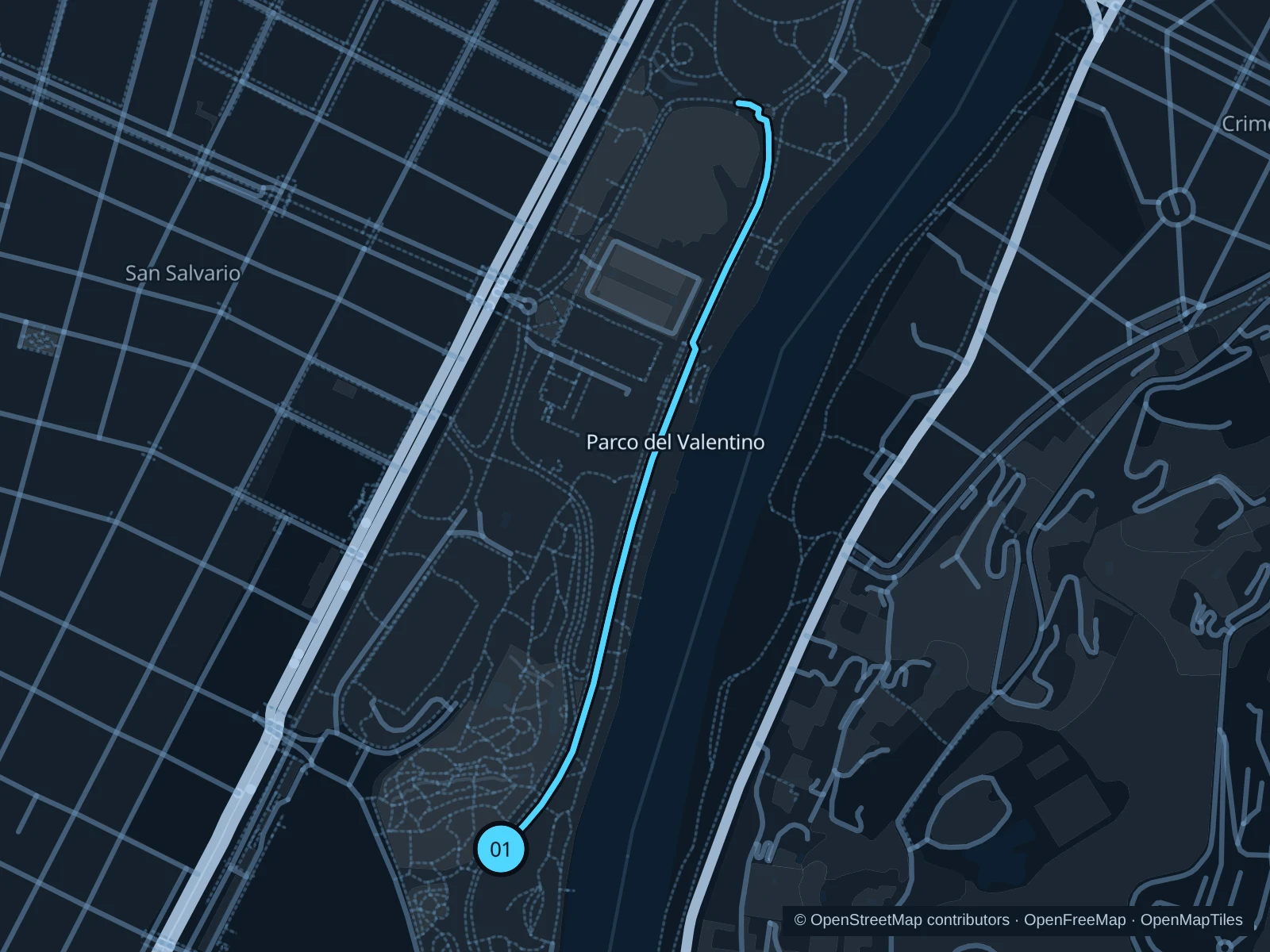
Map of the 1.8 km Parco del Valentino run, with start and finish marked 01.
01 Out & backOpen full-size map
Approx. distance1.8 km
Underfoot

Park paths, paved and unpaved

01

Start here

Public park path beside the Giardino Roccioso in Valentino.

Follow the mapped public park paths north toward the Po-side paths beyond the castle, then return the same way.

Getting there

Walk into Valentino from Corso Massimo d’Azeglio toward the public paths beside Giardino Roccioso.

Before you go

Follow current renovation diversions and give cyclists room. Use the public park paths; the castle, botanical garden and medieval-village attractions have separate access.

Park / route information

Get running directions on your phone
Po east-bank paths

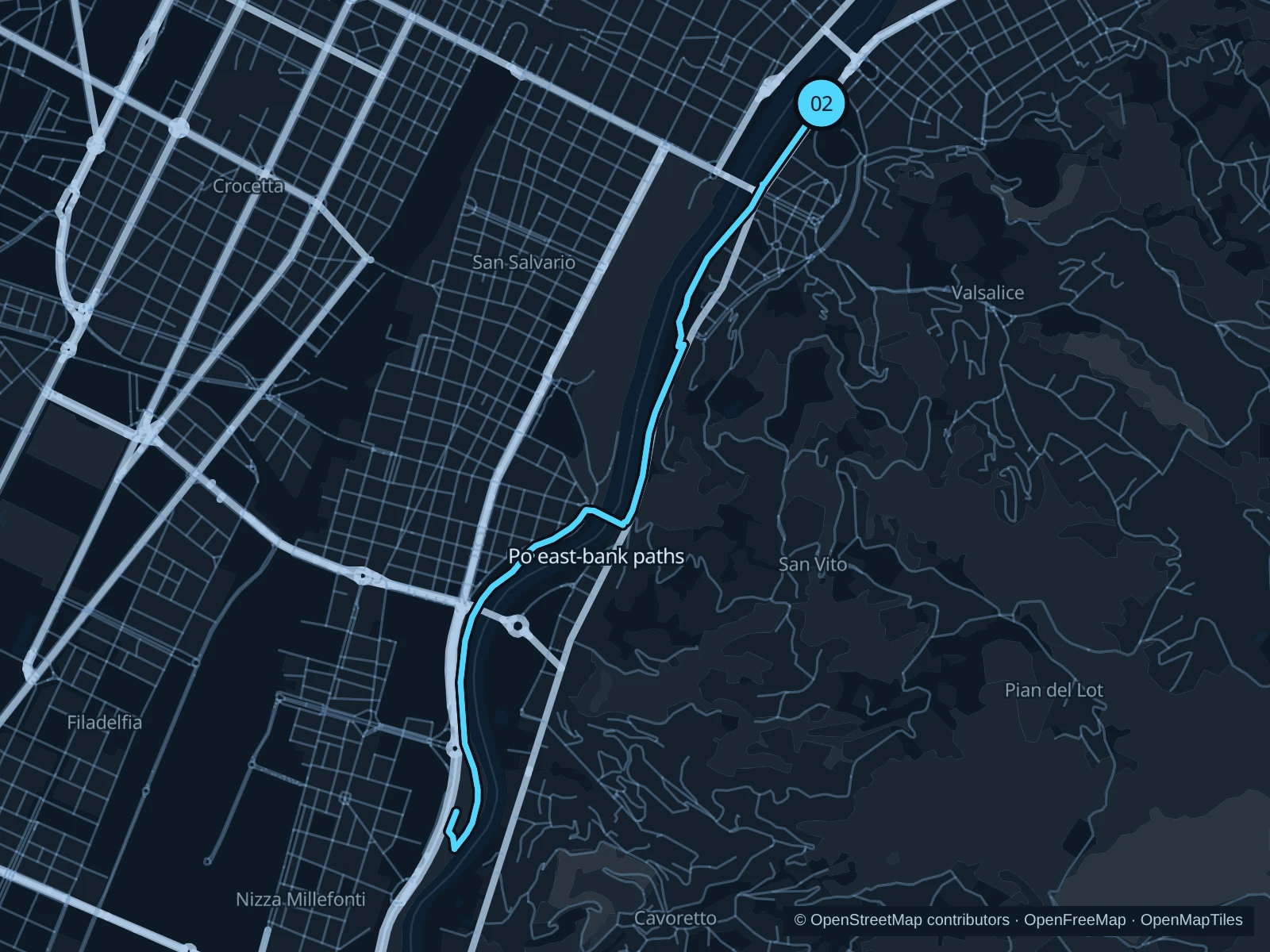
A longer river run on the eastern bank, facing Valentino before continuing south.

Map of the 8.5 km Po east-bank paths run, with start and finish marked 02.
02 Out & backOpen full-size map
Approx. distance8.5 km
Underfoot

Paved and compacted riverside paths

02

Start here

Public riverbank path just south of Ponte Vittorio Emanuele I on the eastern bank.

Follow the mapped paths toward the marked public riverside turnaround south of Ponte Isabella, then return along the same route.

Getting there

Walk across Ponte Vittorio Emanuele I from Piazza Vittorio Veneto and descend to the public eastern-bank paths.

Before you go

The riverside paths are shared and can be muddy or closed after high water. Stay outside rowing-club entrances and use the mapped public connections. The route includes steps; walk these sections.

Park / route information

Get running directions on your phone

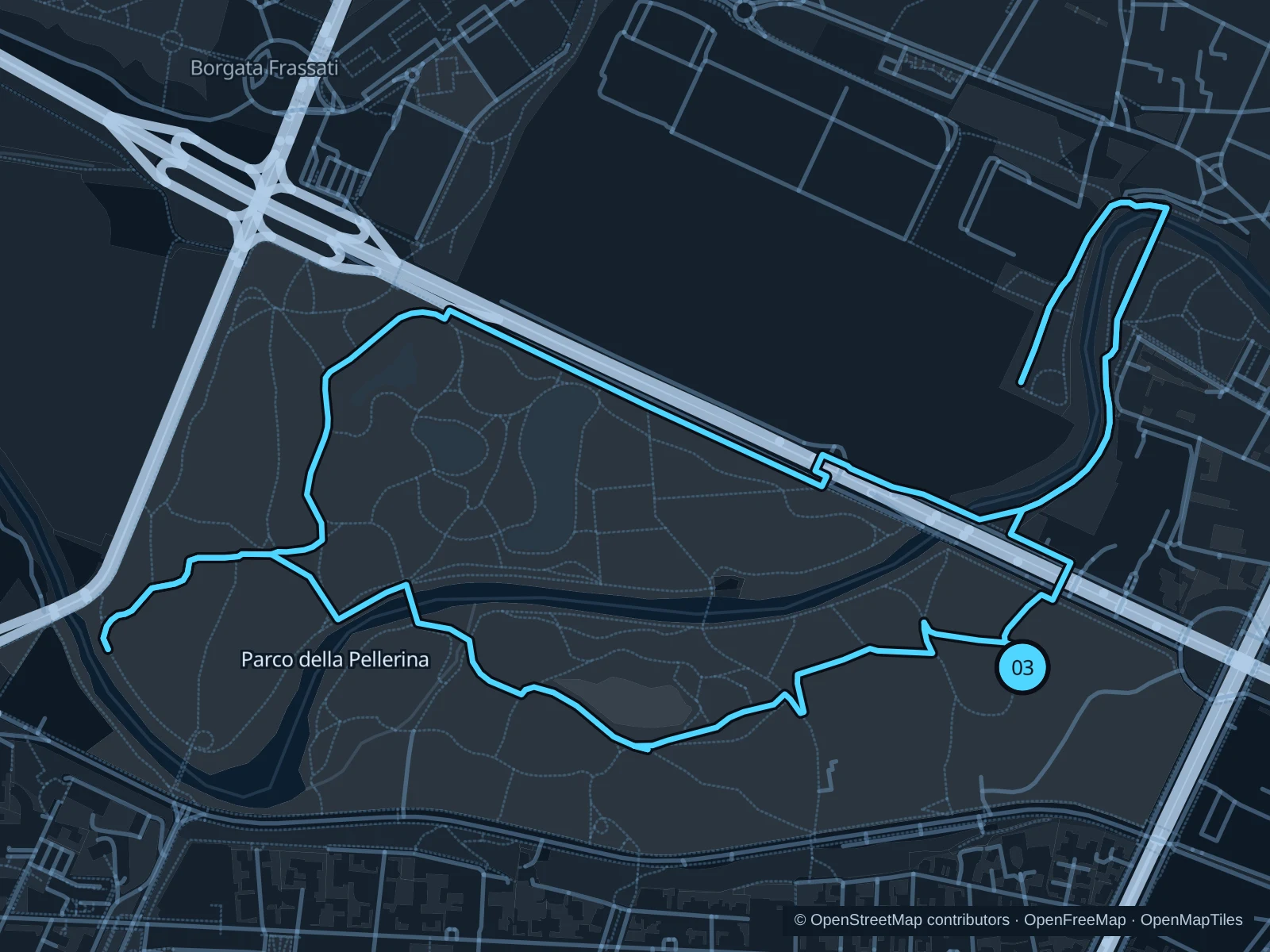
Parco della Pellerina

A broader park circuit through open lawns and wooded paths around the Dora Riparia.

Map of the 6.1 km Parco della Pellerina run, with start and finish marked 03.
03 LoopOpen full-size map
Approx. distance6.1 km
Underfoot

Park paths, paved and unpaved

03

Start here

Public eastern park path from Corso Appio Claudio.

Follow the public circuit west through the park, around the northern paths and back to the eastern start.

Getting there

Take public transit toward Corso Appio Claudio, then walk to the public paths on the park’s east side.

Before you go

Stay on the public paths and keep out of the sports facilities and swimming pool. Ease off at river crossings and expect puddles under the trees after rain. Slow to a walk at gates and barriers.

Park / route information

Get running directions on your phone

Get running directions on your phone

Choose a distance and start at your hotel. RunFromHere plans a loop back to your door and guides you along it. Download the area’s map before you leave to use it offline.

The app generates its own routes from your chosen start; it doesn’t open the routes in this guide.

More places to run

Parco Dora

An urban alternative among the structures of former industrial works, with open public spaces and river crossings. Follow current event signs and keep to open public paths.

Park / route information

Parco Colletta

A riverside option farther northeast with shared pedestrian and cycle paths. Give bikes room and follow public routes around the allotments.

Park / route information

Sources & route notes

Researched using the official visitor and park sources below; not checked on foot. Maps and GPX files use the same saved OpenStreetMap pedestrian paths. Distances are approximate. Check local notices for access, gate hours and diversions.

Researched