Skip to routes
RunFromHere
Get the app
English
Illustrated panorama of The Hague in white linework.

The Hague

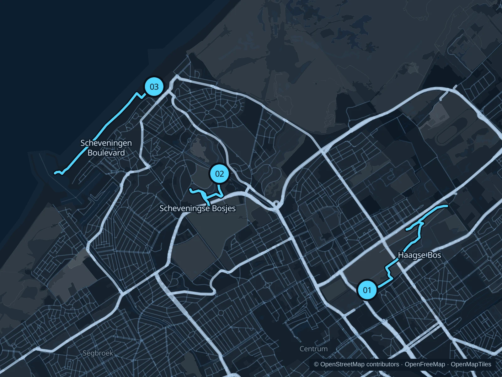
Haagse Bos begins near the business district and central station. Scheveningse Bosjes offers a shorter woodland run; Scheveningen adds an exposed seafront option near beach hotels.

Get running directions on your phone

Find a route near your hotel

The numbers mark each start. Distances exclude the journey from your accommodation.

Map data: © OpenStreetMap contributors · OpenFreeMap · OpenMapTiles

Where to run in The Hague

Haagse Bos

Woodland paths near offices and hotels, with ponds beyond the busy station approach.
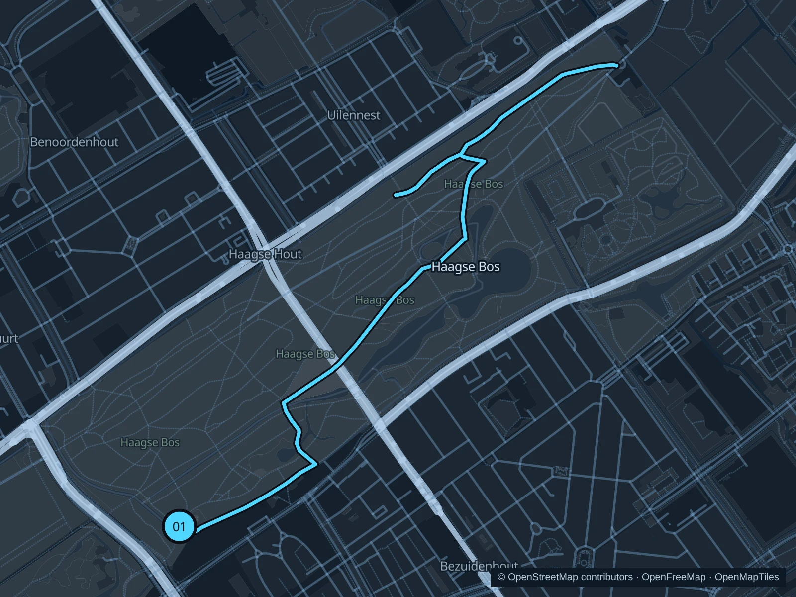
Map of the 5.1 km Haagse Bos run, with start and finish marked 01.
01 Out & backOpen full-size map
Approx. distance5.1 km
Underfoot

Woodland paths

01

Start here

Forest path near the Malieveld–Koekamp approach.

Follow the mapped forest paths northeast towards Huis ten Bosch, then return the same way.

Getting there

Walk from Den Haag Centraal through the signed Koekamp approach.

Before you go

Station-side works can affect the approach. Keep to the public forest paths and stay out of the palace grounds.

Park / route information

Get running directions on your phone
Scheveningse Bosjes

Wooded slopes between central hotels and the seaside, sheltered from the open boulevard.

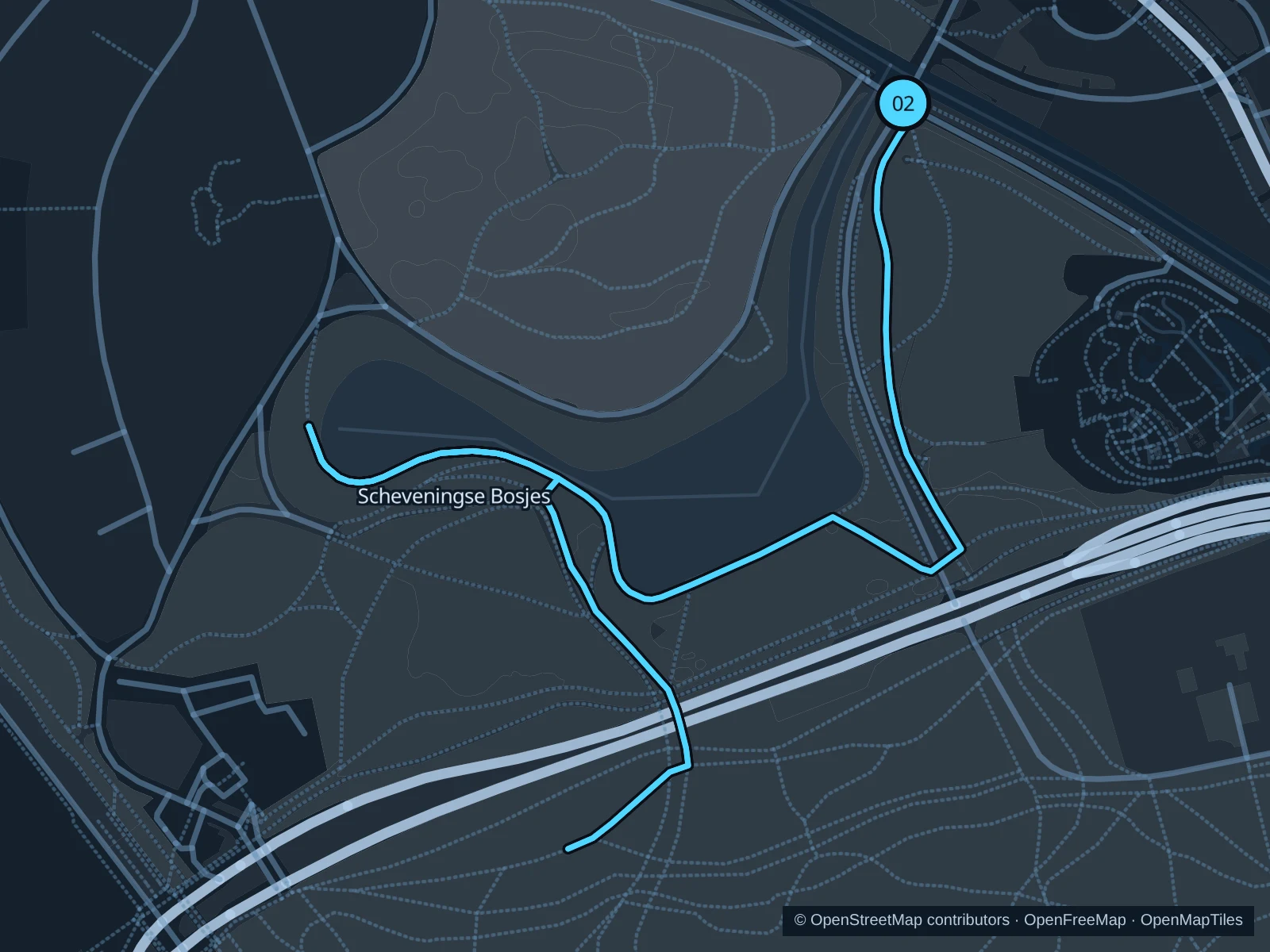
Map of the 3.0 km Scheveningse Bosjes run, with start and finish marked 02.
02 Out & backOpen full-size map
Approx. distance3.0 km
Underfoot

Woodland paths

02

Start here

Public woodland path at Haringkade.

Follow the western woodland paths south and retrace the mapped route.

Getting there

Walk from Nieuwe Parklaan towards Haringkade and use the public woodland entrance.

Before you go

Expect slopes, steps and shared paths; keep a modest pace on wet leaves.

Park / route information

Get running directions on your phone

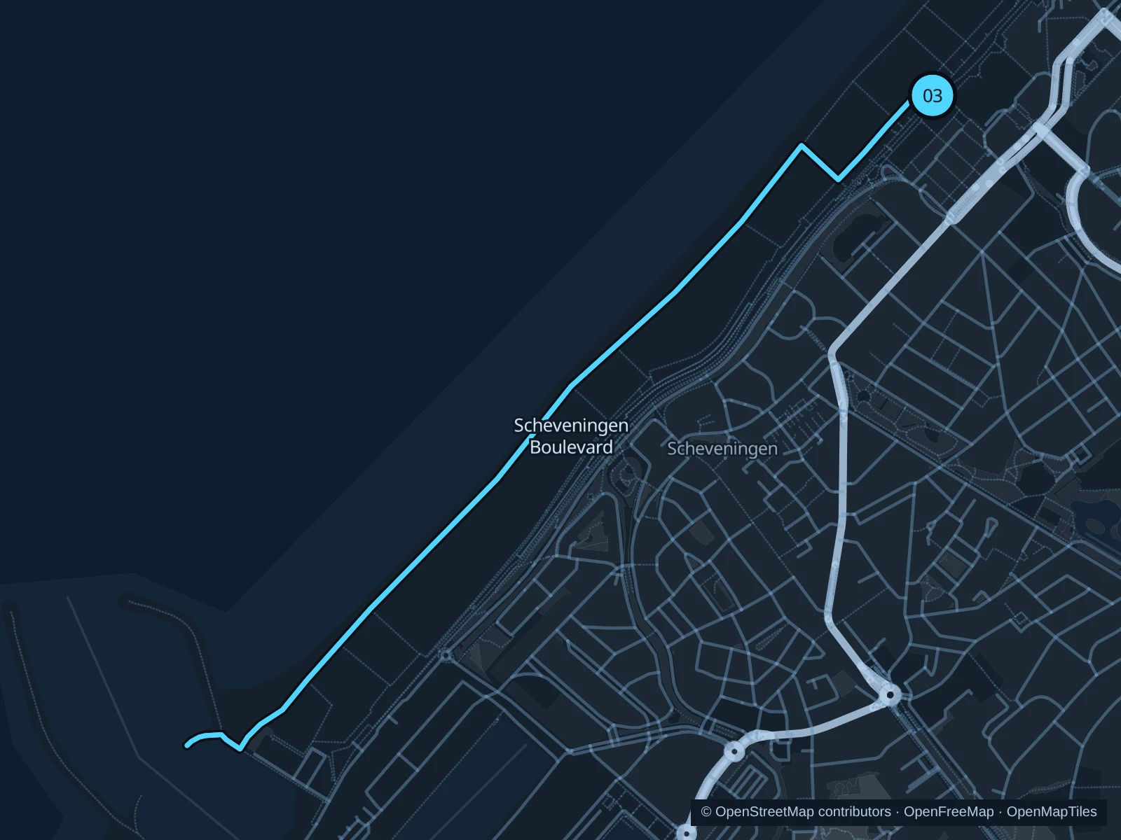
Scheveningen Boulevard

Sea views without running on sand, with cafés and beach access along the promenade.

Map of the 4.3 km Scheveningen Boulevard run, with start and finish marked 03.
03 Out & backOpen full-size map
Approx. distance4.3 km
Underfoot

Paved waterfront paths

03

Start here

Seafront promenade in front of the Kurhaus.

Follow the boulevard south towards the harbour, then return the same way.

Getting there

Take public transport to Kurhaus, then walk to the seafront.

Before you go

Strong winds, blown sand and crowds can slow this run. Stay on the pedestrian promenade, not the cycle track.

Park / route information

Get running directions on your phone

Get running directions on your phone

Choose a distance and start at your hotel. RunFromHere plans a loop back to your door and guides you along it. Download the area’s map before you leave to use it offline.

The app generates its own routes from your chosen start; it doesn’t open the routes in this guide.

More places to run

Zuiderpark

A large park in the south of the city with public running routes, handy if you’re staying in Escamp.

Park / route information

Sources & route notes

Researched using the official visitor and park sources below; not checked on foot. Maps and GPX files use the same saved OpenStreetMap pedestrian paths. Distances are approximate. Check local notices for access, gate hours and diversions.

Researched