Skip to routes
RunFromHere
Get the app
English
Illustrated panorama of Taipei in white linework.

Taipei

Taipei offers a compact park run in Daan and a longer outing through Dajia’s river parks. Bitan adds a separate metro trip to the Xindian River in neighboring New Taipei City. The saved paths use public pedestrian routes and explicitly shared sections; check heat, air quality and riverside flood notices, and leave room for bicycles and local exercise groups.

Get running directions on your phone

Find a route near your hotel

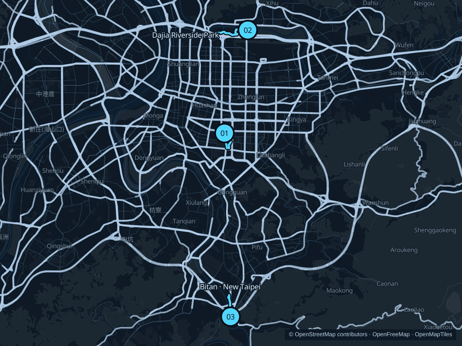
The numbers mark each start. Distances exclude the journey from your accommodation.

Map data: © OpenStreetMap contributors · OpenFreeMap · OpenMapTiles

Where to run in Taipei

Daan Forest Park · inner park circuit

A compact green circuit among the park’s planted paths and open spaces, convenient for a city stay.
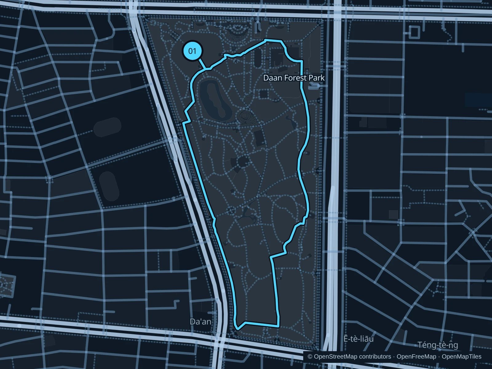
Map of the 2.0 km Daan Forest Park · inner park circuit run, with start and finish marked 01.
01 LoopOpen full-size map
Approx. distance2.0 km
Underfoot

Mixed paved and unpaved park paths; not exclusively the red-gravel running track

01

Start here

On the public path southwest of the ecological pond in the northern part of Daan Forest Park.

Follow the saved paths east and south inside the park, return along the western interior paths and reconnect to the northern starting point.

Getting there

Take the MRT to Daan Park, cross into the park through the public northern entrance and walk to the saved path start.

Before you go

The course stays inside the park rather than using the surrounding road crossings. Slow down near the ecological pond and exercise groups, stay out of planted areas and watch for wet or slippery surfaces after rain.

Park / route information Park / route information

Get running directions on your phone
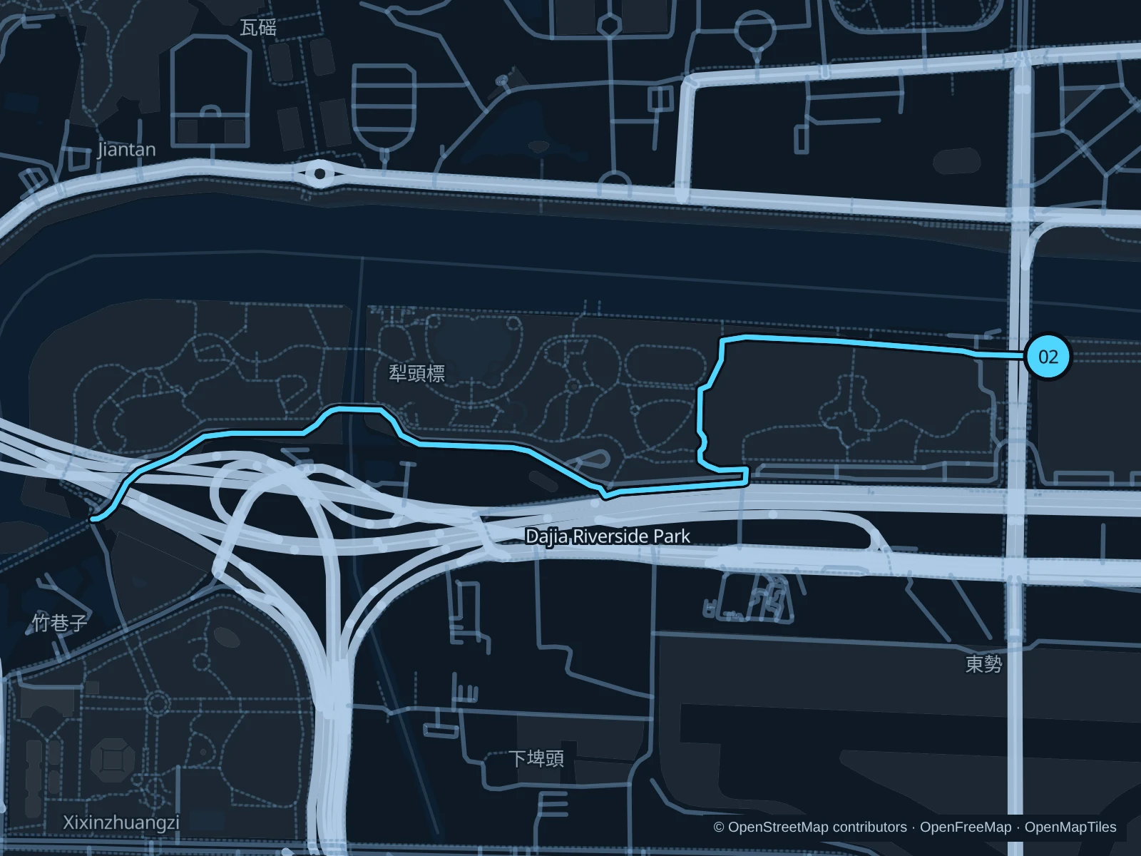
Dajia · left-bank park paths

A longer out-and-back through the Keelung River park corridor, mixing open views with paths set back among recreation areas.

Map of the 4.0 km Dajia · left-bank park paths run, with start and finish marked 02.
02 Out & backOpen full-size map
Approx. distance4.0 km
Underfoot

Paved shared paths open to pedestrians, plus park connectors

02

Start here

On the public south-bank path immediately east of Dazhi Bridge.

Follow the saved left-bank paths west through Dajia, including the inland park bends, then retrace the route from the western turnaround.

Getting there

Take a bus or taxi to Binjiang Street near Dazhi Bridge, then use the public pedestrian access into the river park. Walk north to the saved start beside the bridge; allow for access steps.

Before you go

The saved corridor includes shared cycle paths with explicit pedestrian access. Keep to the pedestrian side where separated, check flood-gate and event closures and avoid this exposed river area during thunderstorms.

Park / route information

Get running directions on your phone

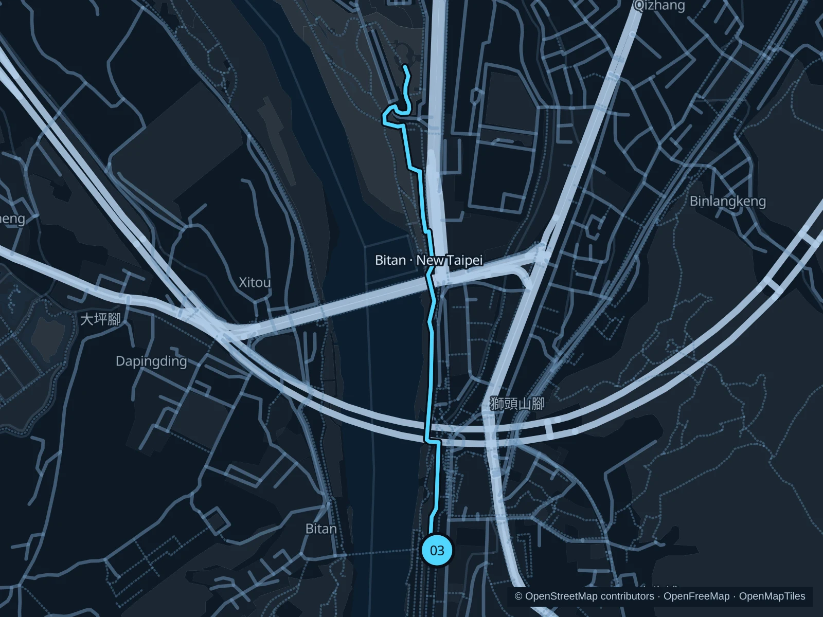
Bitan · New Taipei river outing

A separate metro outing to a wide stretch of the Xindian River, with a busy visitor waterfront and quieter public paths farther north.

Map of the 2.3 km Bitan · New Taipei river outing run, with start and finish marked 03.
03 Out & backOpen full-size map
Approx. distance2.3 km
Underfoot

Paved riverside footpaths with short public street connections and access crossings

03

Start here

On the public east-bank path beside the eastern end of Bitan Suspension Bridge.

Stay on the saved eastern-bank paths heading north, use the recorded public connections around the road bridges and return from the northern turnaround by the same route.

Getting there

Take the MRT to Xindian in New Taipei City and walk west on public streets to the eastern end of the suspension bridge.

Before you go

This run stays on the east bank and does not need the suspension bridge or mountain trails. Slow down near restaurants and rentals, use crossings at the street links and respect closures for high water or construction.

Park / route information

Get running directions on your phone

Get running directions on your phone

Choose a distance and start at your hotel. RunFromHere plans a loop back to your door and guides you along it. Download the area’s map before you leave to use it offline.

The app generates its own routes from your chosen start; it doesn’t open the routes in this guide.

More places to run

Dadaocheng riverfront

A different riverfront on the Tamsui River side of the city, useful for a separate outing near the older shopping streets. Stay on public pedestrian or explicitly shared paths, slow down around wharf crowds and check river-gate closures before entering.

Park / route information

Youth Park · Qingnian Park

The city’s 2026 running guide also recommends Youth Park for relaxed jogging on broad paths. It offers a separate urban-park setting in Wanhua; keep out of sports courts and give children and exercise groups space.

Park / route information

Sources & route notes

Researched using the official visitor and park sources below; not checked on foot. Maps and GPX files use the same saved OpenStreetMap pedestrian paths. Distances are approximate. Check local notices for access, gate hours and diversions.

Researched