
Skip to routes
RunFromHere
Get the app
English
White line illustration of Split’s Diocletian’s Palace, Riva waterfront and Marjan hill.

Split

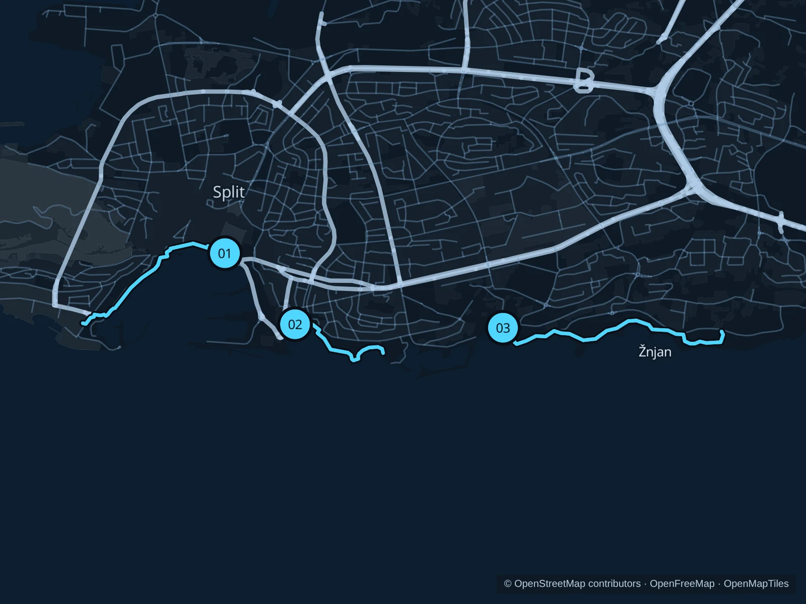
Split’s waterfront gives you several useful starting points outside the old town’s narrow lanes. Run from the Riva towards the West Coast if you are staying centrally, link the small bays at Bačvice and Firule for a short outing, or choose Trstenik and Žnjan near the eastern beach hotels. These routes stay outside Marjan’s forest work zones.

Get running directions on your phone

Find a route near your hotel

The numbers mark each start. Distances exclude the journey from your accommodation.

Map data: © OpenStreetMap contributors · OpenFreeMap · OpenMapTiles

Where to run in Split

Riva · West Coast (Zapadna obala) · Zvončac

The central harbour run looks back towards the palace and bell tower from the West Coast. It continues a short way beyond the yacht-lined promenade to a park.
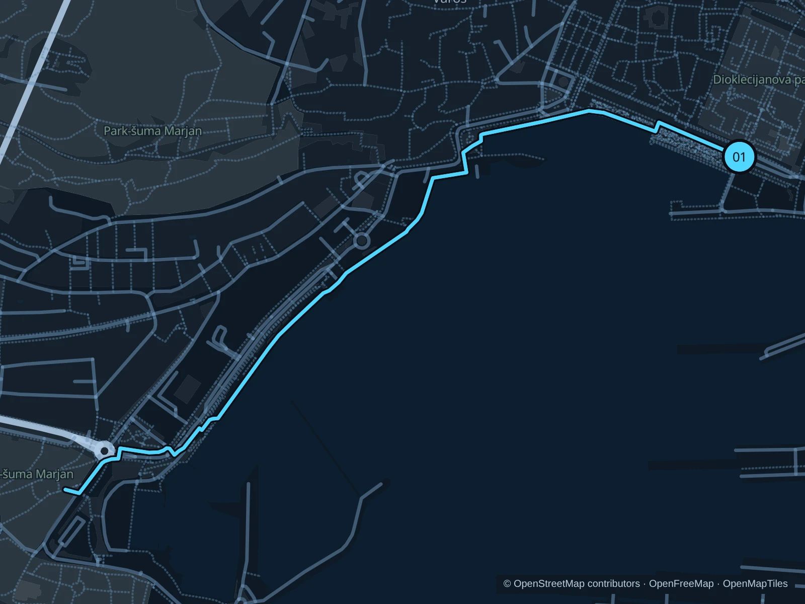
Map of the 2.9 km Riva · West Coast (Zapadna obala) · Zvončac run, with start and finish marked 01.
01 Out & backOpen full-size map
Approx. distance2.9 km
Underfoot

Stone and concrete paving, asphalt footways and short steps

01

Start here

On the eastern Riva waterfront footway below Diocletian’s Palace.

Follow the Riva west and continue around the harbour on the West Coast promenade past the Olympic medal plaques. Use the public footways and crossings beyond its southern end to the Zvončac park path, then return.

Getting there

Walk out from the old town towards the seafront; stay on the Riva rather than the passenger-port boarding areas.

Before you go

Stone can be slippery when wet and the café frontage gets busy. Walk the short steps near the end of the West Coast and use crossings beyond it; do not cut through marina pontoons.

Park / route information Park / route information Park / route information

Get running directions on your phone
Bačvice · Ovčice · Firule

The shortest route links the smaller bays east of the port. It suits a relaxed morning close to Bačvice accommodation rather than a sustained fast run.

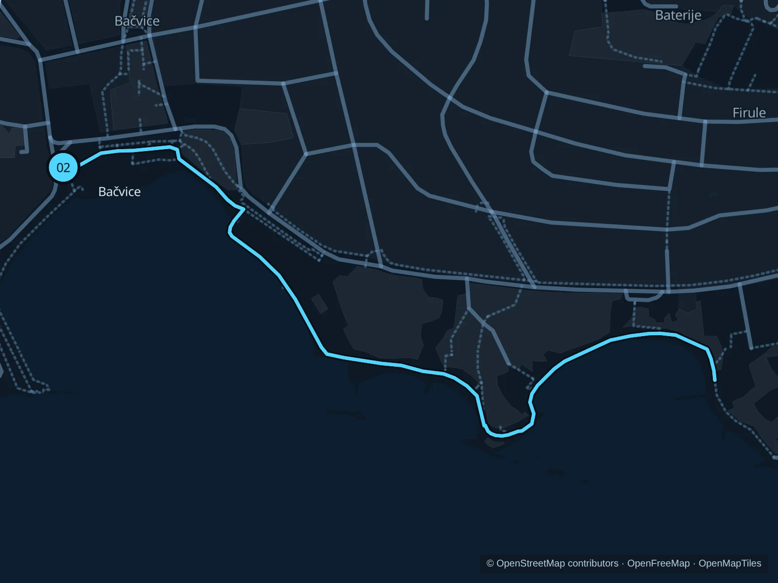
Map of the 1.9 km Bačvice · Ovčice · Firule run, with start and finish marked 02.
02 Out & backOpen full-size map
Approx. distance1.9 km
Underfoot

Paved beach paths, concrete and a short flight of steps

02

Start here

On the public promenade at the western end of Bačvice beach, below Hatzeov perivoj.

Follow the path around Bačvice to Ovčice, then continue round the shoreline to Firule bay. Use the short stepped connection and turn at the eastern public beach-path junction before the Zenta harbour area. Retrace the same bays.

Getting there

Walk down from the Bačvice neighbourhood or the park to the beach-level promenade; the approach from the ferry terminal is outside the saved distance.

Before you go

Slow down beside bathers and cafés and walk the short steps. Spray and wet concrete can be slick; keep clear of beach-club seating and the water’s edge.

Park / route information

Get running directions on your phone

Trstenik · Žnjan waterfront

The longer beach-area outing serves the eastern hotel districts. The route follows public coastal paths and footways behind the rebuilt Žnjan recreation area.

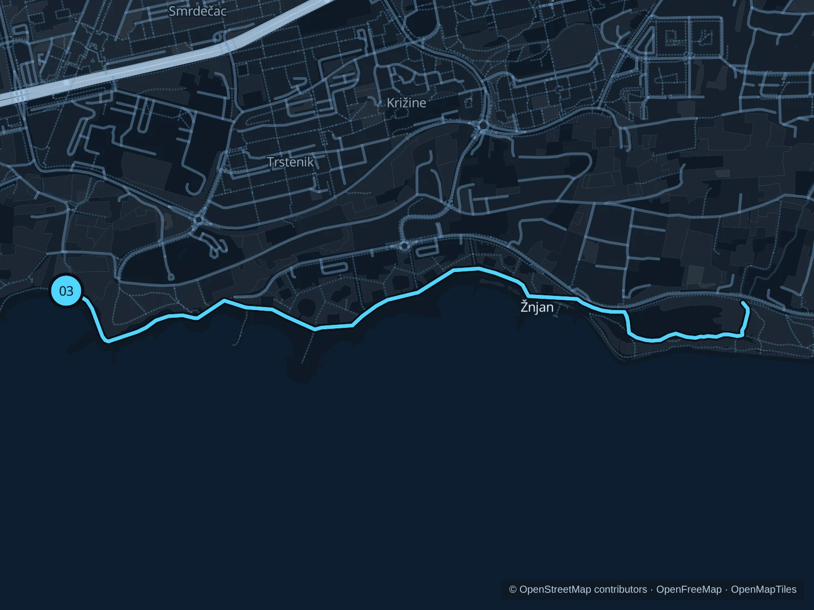
Map of the 4.0 km Trstenik · Žnjan waterfront run, with start and finish marked 03.
03 Out & backOpen full-size map
Approx. distance4.0 km
Underfoot

Asphalt and concrete paths, with paved footway sections

03

Start here

At the public coastal path junction beside the Trstenik beach information map, on Šetalište pape Ivana Pavla II.

Follow Šetalište pape Ivana Pavla II east from Trstenik, then the connected public paths and upper footways through Žnjan. Turn at the saved coastal path junction beyond the main recreation area and return along the same line.

Getting there

From Trstenik, use the public streets and signed beach access down to the waterfront map. Guests in Žnjan can approach from the beach bus stops.

Before you go

Žnjan’s layout changed with its 2025 reopening. Follow current signs, stay on public paths above the beach facilities and give cyclists space where routes are shared. The more open sections have little shade.

Park / route information

Get running directions on your phone

Get running directions on your phone

Choose a distance and start at your hotel. RunFromHere plans a loop back to your door and guides you along it. Download the area’s map before you leave to use it offline.

The app generates its own routes from your chosen start; it doesn’t open the routes in this guide.

More places to run

Marjan · check access before planning a forest run

The park authority still lists its 2 February 2026 restriction order for Marina Tartaglie promenade and the northern forest zones. Check its notices and on-site barriers before choosing any forest route.

Park / route information

Stobreč waterfront

A separate outing east of Split, useful if you are staying in Stobreč. Choose the public village promenade for a short local run; campsite facilities and rocky beach platforms are separate areas.

Park / route information

Sources & route notes

Researched using the official visitor and park sources below; not checked on foot. Maps and GPX files use the same saved OpenStreetMap pedestrian paths. Distances are approximate. Check local notices for access, gate hours and diversions.

Researched