Skip to routes
RunFromHere
Get the app
English
Illustrated panorama of Singapore in white linework.

Singapore

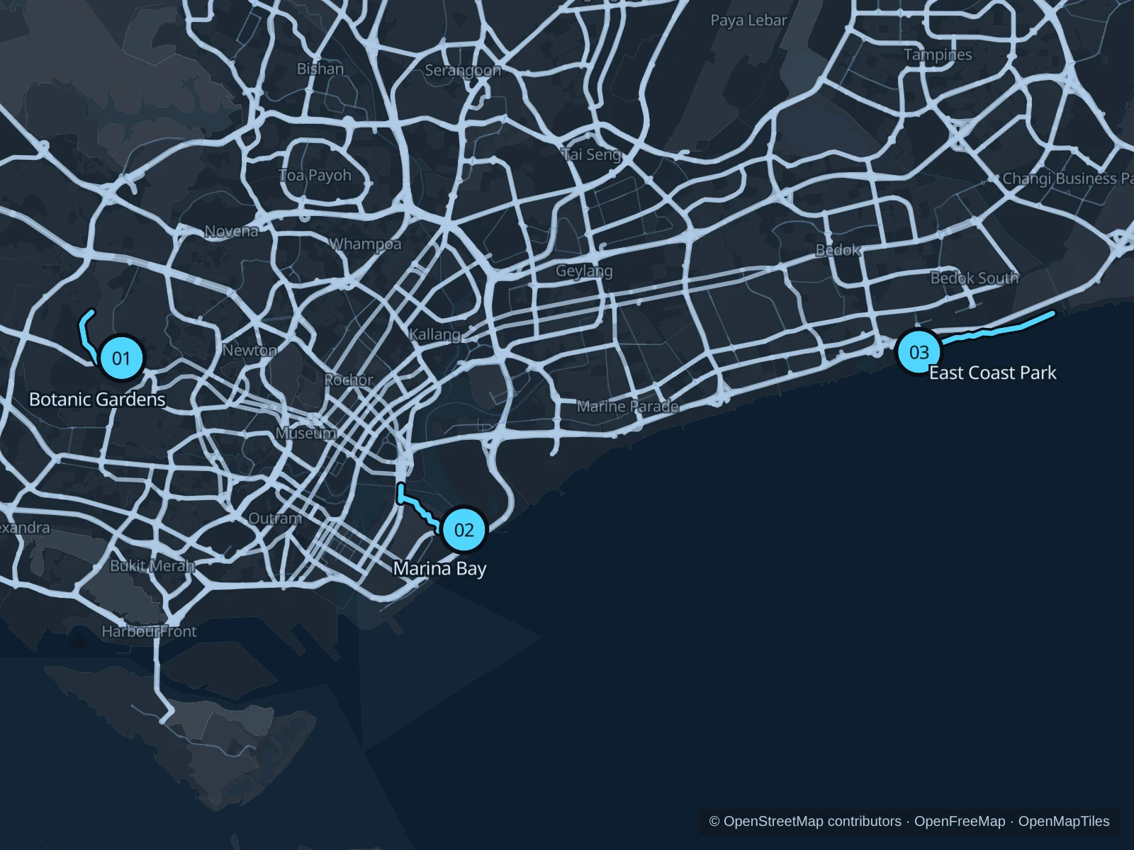
The Botanic Gardens offer shade near Orchard Road, while Marina Bay is convenient for downtown hotels. East Coast Park adds a longer seaside run away from the centre.

Get running directions on your phone

Find a route near your hotel

The numbers mark each start. Distances exclude the journey from your accommodation.

Map data: © OpenStreetMap contributors · OpenFreeMap · OpenMapTiles

Where to run in Singapore

Singapore Botanic Gardens

Mature trees and open lawns give this short outing a different setting from the downtown waterfront.
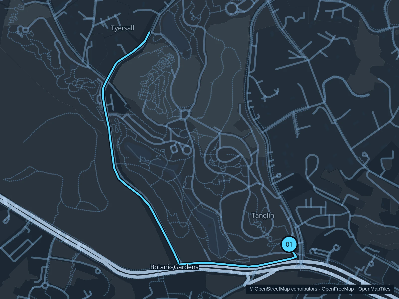
Map of the 3.1 km Singapore Botanic Gardens run, with start and finish marked 01.
01 Out & backOpen full-size map
Approx. distance3.1 km
Underfoot

Paved pedestrian paths

01

Start here

At Tanglin Gate, Cluny Road.

Run through Singapore Botanic Gardens to Symphony Lake, then return along the same path.

Getting there

Walk from Napier MRT to Tanglin Gate on Cluny Road.

Before you go

Stay on public main paths, avoiding the ticketed National Orchid Garden, and slow down near groups.

Park / route information

Get running directions on your phone
Marina Bay waterfront

The bay’s towers and the open reservoir edge provide a broad, exposed waterfront run.

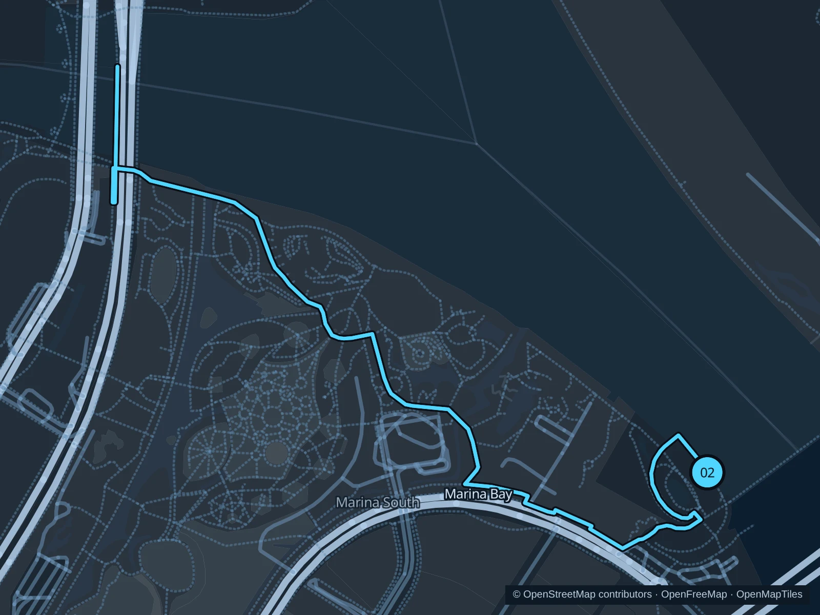
Map of the 4.3 km Marina Bay waterfront run, with start and finish marked 02.
02 Out & backOpen full-size map
Approx. distance4.3 km
Underfoot

Paved pedestrian paths

02

Start here

On the waterfront path beside the western end of Marina Barrage.

Follow the bay-side paths to the Bayfront end of Helix Bridge, then return along the same route.

Getting there

From Gardens by the Bay MRT, follow signs for Marina Barrage.

Before you go

Carry water and avoid thunderstorms. Event barriers can block sections of the waterfront path.

Park / route information

Get running directions on your phone

East Coast Park

A longer coastal option with sea views, palms and room to turn back whenever needed.

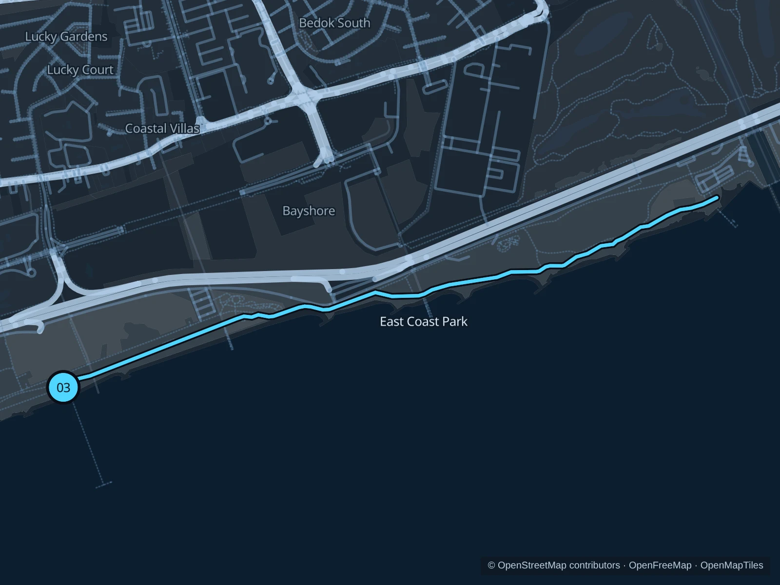
Map of the 4.9 km East Coast Park run, with start and finish marked 03.
03 Out & backOpen full-size map
Approx. distance4.9 km
Underfoot

Paved paths shared with walkers and cyclists

03

Start here

On the coastal path at the landward end of Bedok Jetty.

Follow the public coastal path east to the outside of the National Sailing Centre, then retrace it.

Getting there

From Bayshore MRT, follow signs into East Coast Park, then walk west along the coast to Bedok Jetty.

Before you go

Use the pedestrian lanes and follow any works diversions; site investigations are under way in some areas.

Park / route information

Get running directions on your phone

Get running directions on your phone

Choose a distance and start at your hotel. RunFromHere plans a loop back to your door and guides you along it. Download the area’s map before you leave to use it offline.

The app generates its own routes from your chosen start; it doesn’t open the routes in this guide.

More places to run

Sources & route notes

Researched using the official visitor and park sources below; not checked on foot. Maps and GPX files use the same saved OpenStreetMap pedestrian paths. Distances are approximate. Check local notices for access, gate hours and diversions.

Researched