Skip to routes
RunFromHere
Get the app
English
Illustrated panorama of Seville in white linework.

Seville

Seville’s river promenade and public parks give you room to run away from the busiest old-town lanes. Choose a longer Guadalquivir outing, a garden circuit in María Luisa or the broader paths of Alamillo. Plan around heat and park gate hours.

Get running directions on your phone

Find a route near your hotel

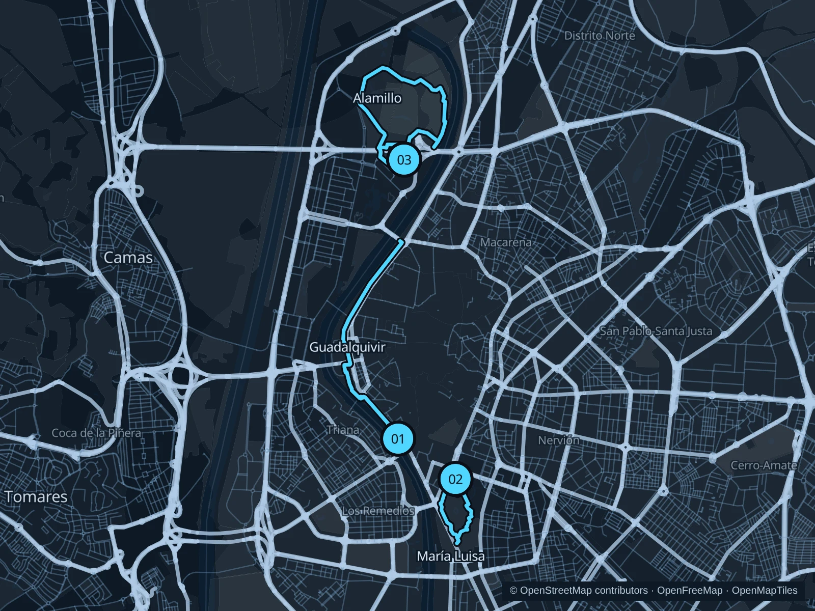
The numbers mark each start. Distances exclude the journey from your accommodation.

Map data: © OpenStreetMap contributors · OpenFreeMap · OpenMapTiles

Where to run in Seville

Guadalquivir · eastern bank

A longer waterfront outing from Torre del Oro toward Puente de la Barqueta.
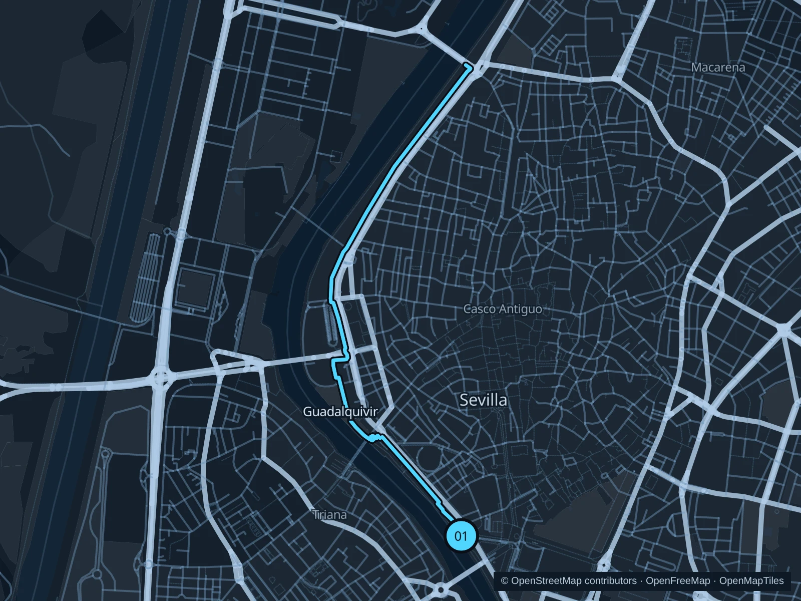
Map of the 6.2 km Guadalquivir · eastern bank run, with start and finish marked 01.
01 Out & backOpen full-size map
Approx. distance6.2 km
Underfoot

Paved pedestrian paths

01

Start here

On the public lower riverside promenade beside Torre del Oro.

Follow the public promenade north along the eastern bank, passing the Triana bridge and Cartuja footbridge. Turn at the mapped approach to Puente de la Barqueta and return along the same bank.

Getting there

From the Puerta Jerez metro or tram stop, walk west to Torre del Oro and use the public pedestrian access down to the promenade.

Before you go

Run early in hot weather and carry water. Give pedestrians space, use the walking side of shared sections and follow flood or event barriers.

Park / route information

Get running directions on your phone
Parque de María Luisa

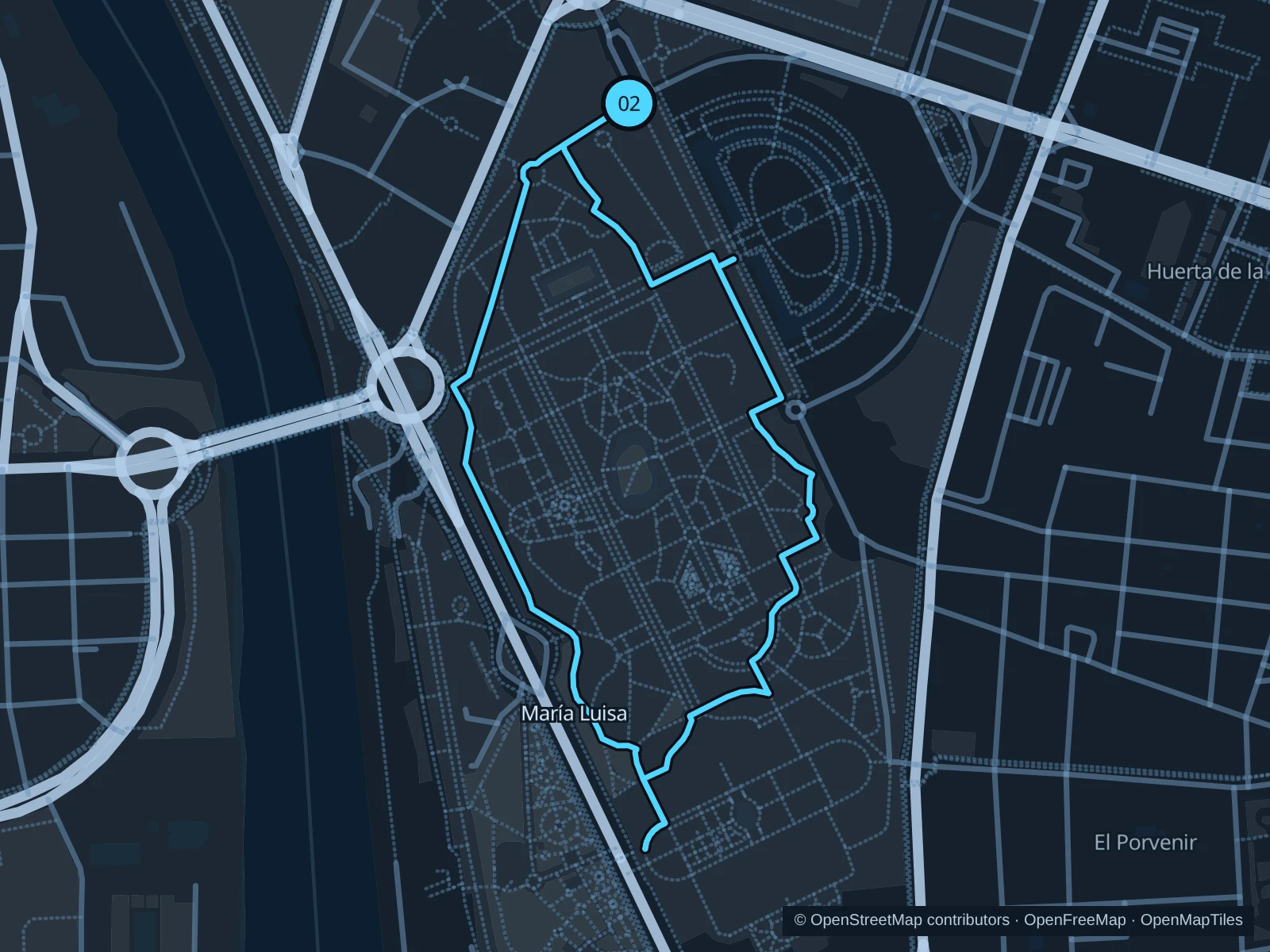
A shorter shaded park circuit among garden avenues and exhibition-era landmarks.

Map of the 2.1 km Parque de María Luisa run, with start and finish marked 02.
02 LoopOpen full-size map
Approx. distance2.1 km
Underfoot

Paved paths and compacted natural surfaces

02

Start here

On the public park path at the Avenida María Luisa entrance.

Use the public park paths south toward Plaza de América and return through the eastern garden avenues to Avenida María Luisa.

Getting there

From Prado de San Sebastián metro station, walk southwest to Avenida María Luisa and use the public park entrance.

Before you go

The park opens at 8am; the municipal winter closing time is 10pm, while tourism lists midnight in summer. Check current gates and weather closures; walk near fountains, horse carriages and busy gardens.

Park / route information Park / route information Park / route information

Get running directions on your phone

Parque del Alamillo

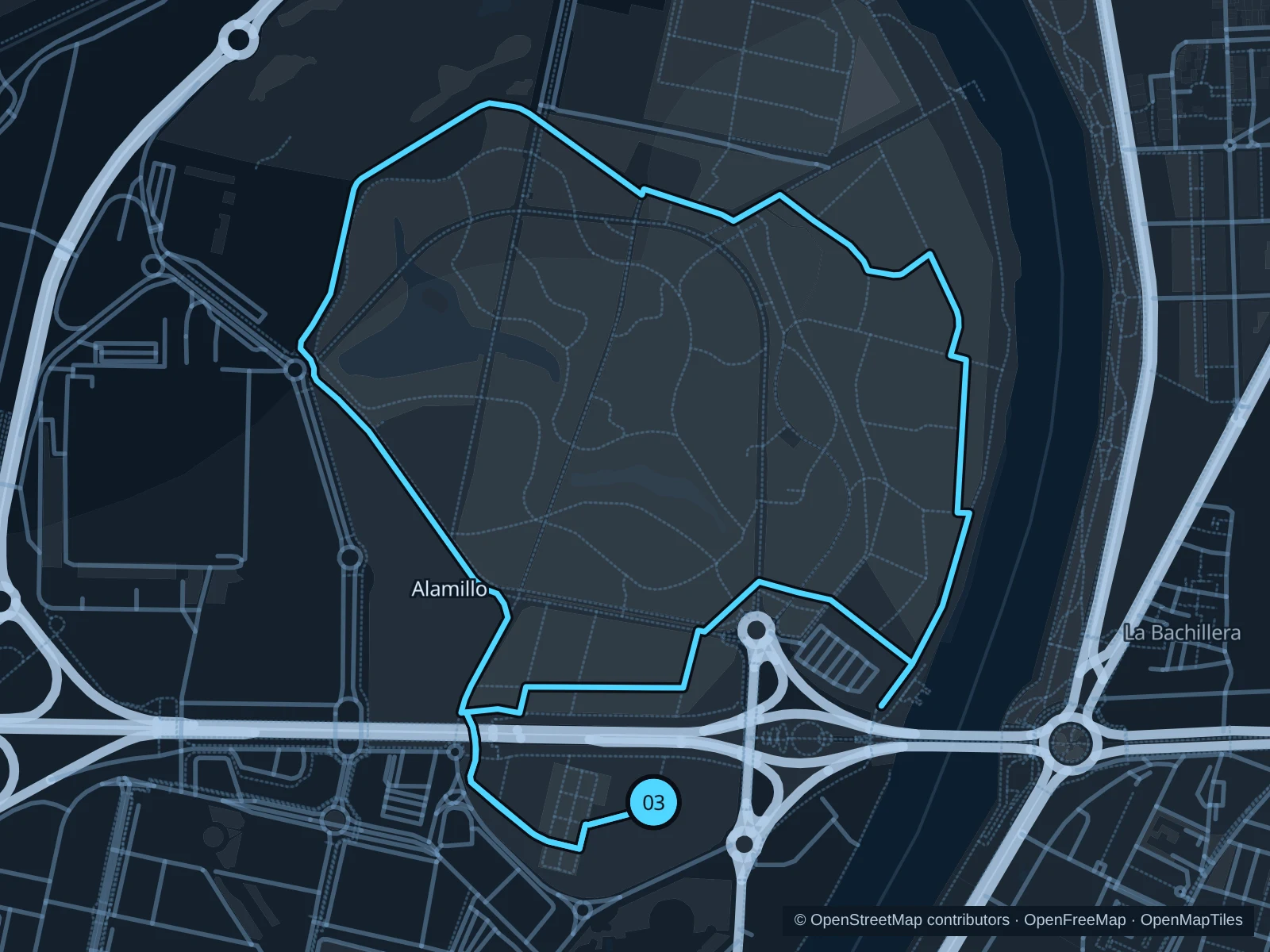
A broader park outing with open lawns and tree-lined paths north of the center.

Map of the 4.8 km Parque del Alamillo run, with start and finish marked 03.
03 LoopOpen full-size map
Approx. distance4.8 km
Underfoot

Paved paths and compacted natural surfaces

03

Start here

On the public park path near the southern entrance from Puente del Alamillo.

Follow the public park paths north through the western lawns, return down the eastern side and finish at the southern entrance.

Getting there

Take a local bus or taxi to the southern Alamillo park entrance near the bridge, then use the public pedestrian gate.

Before you go

Check the entrance’s current opening hours and event notices. Stay out of the nursery and service compounds, and carry water for the exposed sections.

Park / route information

Get running directions on your phone

Get running directions on your phone

Choose a distance and start at your hotel. RunFromHere plans a loop back to your door and guides you along it. Download the area’s map before you leave to use it offline.

The app generates its own routes from your chosen start; it doesn’t open the routes in this guide.

More places to run

Parque del Tamarguillo

The municipal running circuit offers another park option, with its signed start on Avenida Séneca. Check gate and maintenance notices.

Park / route information

San Jerónimo riverfront

For a separate northern outing, use the municipal riverside corridor toward the Huevo de Colón landmark. Check the current walking connections before extending.

Park / route information

Sources & route notes

Researched using the official visitor and park sources below; not checked on foot. Maps and GPX files use the same saved OpenStreetMap pedestrian paths. Distances are approximate. Check local notices for access, gate hours and diversions.

Researched