Skip to routes
RunFromHere
Get the app
English
Illustrated panorama of Seoul in white linework.

Seoul

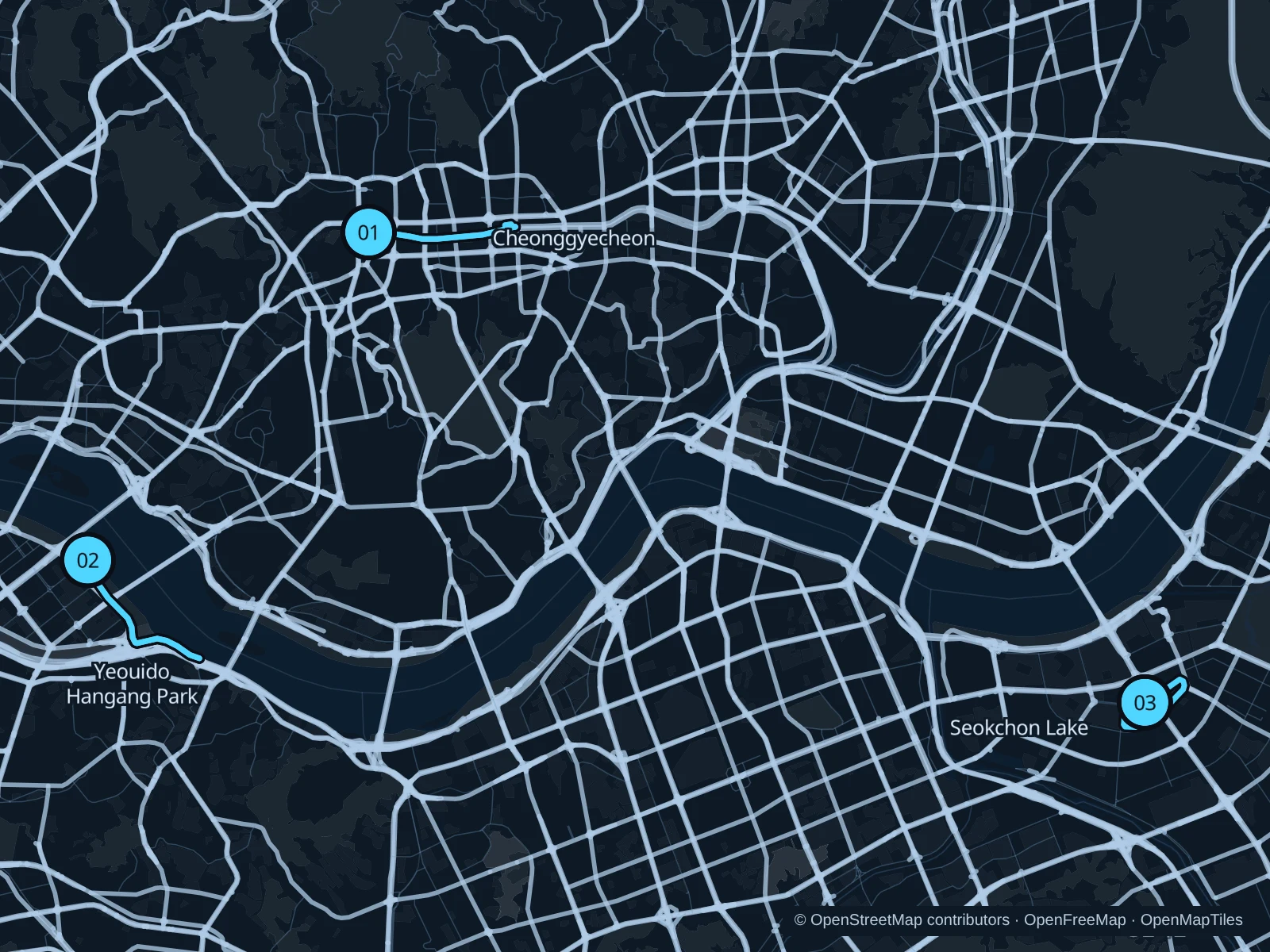
Cheonggyecheon is a convenient short escape below downtown’s streets. Yeouido offers longer Han River paths, while Seokchon Lake suits a stay around Jamsil and Lotte World.

Get running directions on your phone

Find a route near your hotel

The numbers mark each start. Distances exclude the journey from your accommodation.

Map data: © OpenStreetMap contributors · OpenFreeMap · OpenMapTiles

Where to run in Seoul

Cheonggyecheon

Low waterside paths pass beneath the road bridges, close to many central hotels.
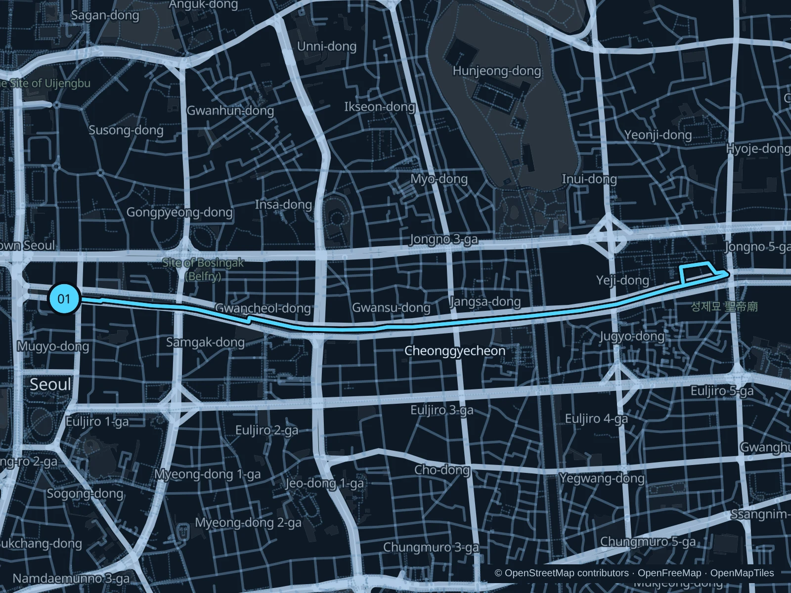
Map of the 4.6 km Cheonggyecheon run, with start and finish marked 01.
01 Out & backOpen full-size map
Approx. distance4.6 km
Underfoot

Paved pedestrian paths

01

Start here

At the stream ramp on Cheonggye Plaza.

Follow the stream’s north-bank path to the saved turnaround just east of Saebyeokdari (Dawn Bridge), beside Gwangjang Market, then return along the same path.

Getting there

Walk from Gwanghwamun or Jonggak subway station to the signed public path.

Before you go

The stream path can close after heavy rain; slow to a walk on steps and keep narrow sections clear.

Park / route information

Get running directions on your phone
Yeouido Hangang Park

Beyond the office district, a longer riverside stretch opens onto broad water and Seoul’s bridges.

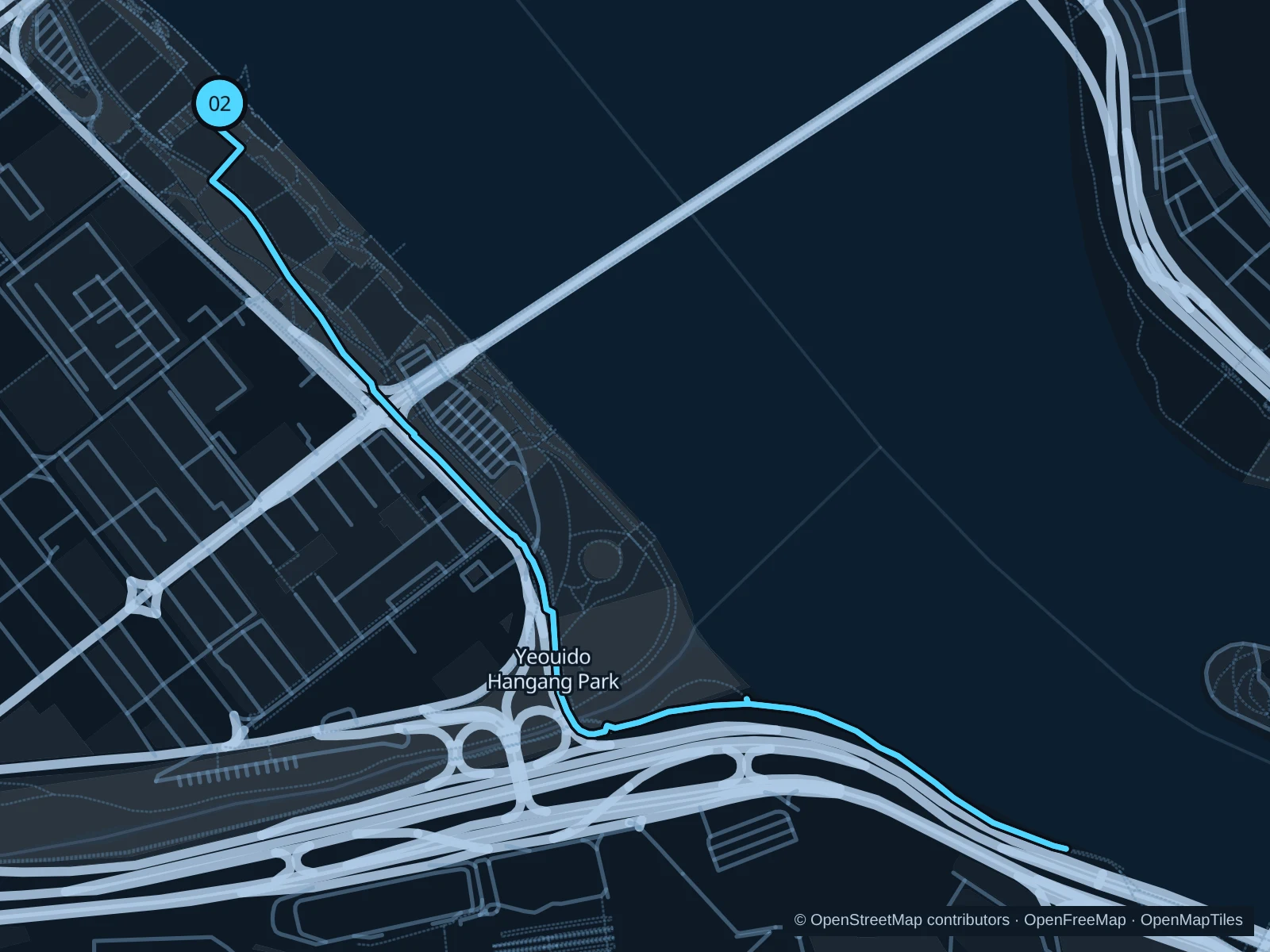
Map of the 4.9 km Yeouido Hangang Park run, with start and finish marked 02.
02 Out & backOpen full-size map
Approx. distance4.9 km
Underfoot

Paved pedestrian paths

02

Start here

At the Yeouinaru riverside plaza.

Follow the paths through Yeouido Hangang Park to the south-bank approach to Wonhyo Bridge, then return along the same path.

Getting there

Walk from Yeouinaru subway station to the signed public path.

Before you go

Stick to the pedestrian lanes, stay off the bike path and respect flood or festival closures.

Park / route information

Get running directions on your phone

Seokchon Lake

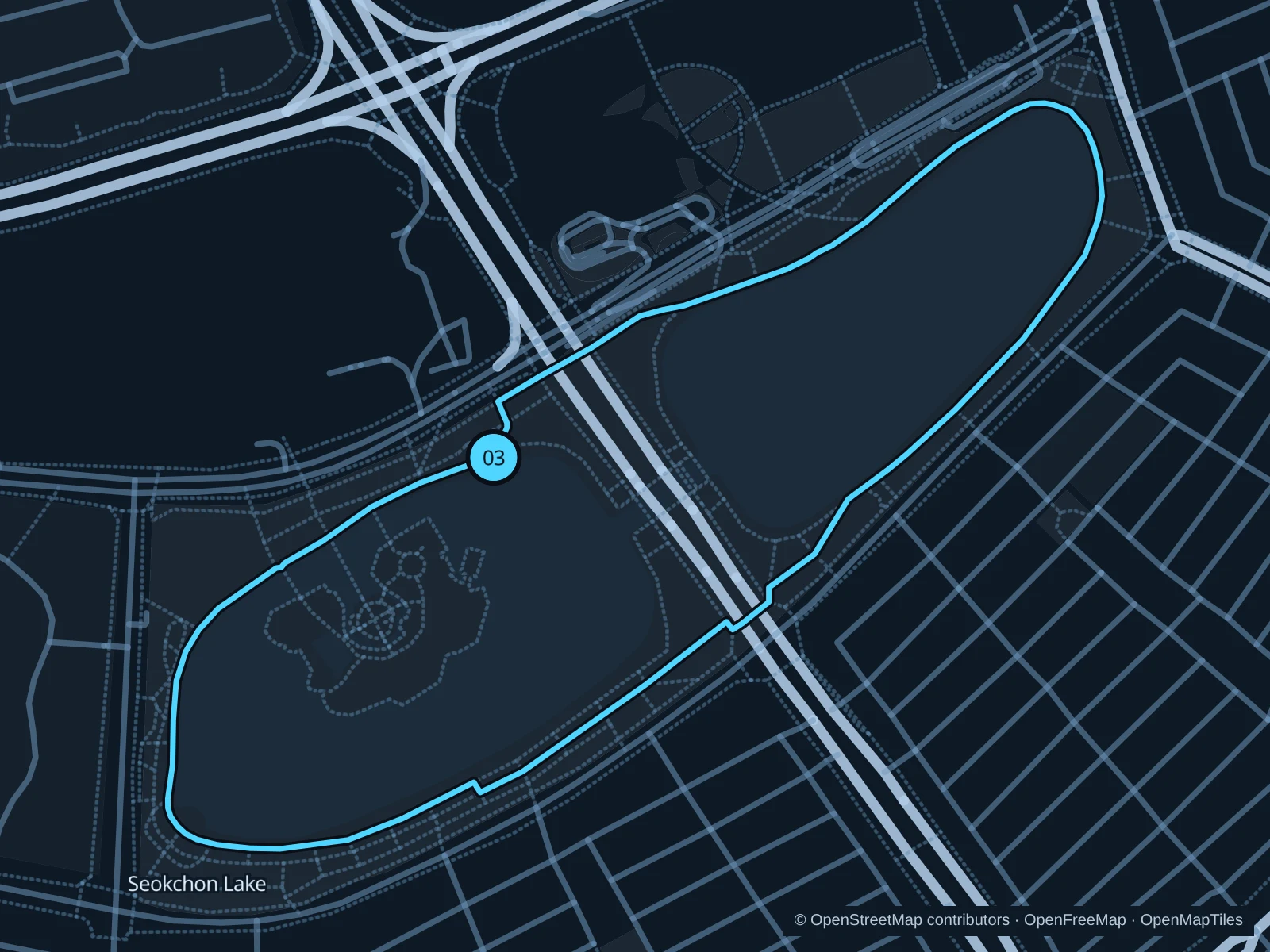
Two connected lake basins sit below Lotte World Tower and the amusement park’s skyline.

Map of the 2.3 km Seokchon Lake run, with start and finish marked 03.
03 LoopOpen full-size map
Approx. distance2.3 km
Underfoot

Paved pedestrian paths

03

Start here

At the Songpanaru-gil lakeside junction on the West Lake side of Songpa-daero.

Circle both lakes on the public paths, using the connection beneath Songpa-daero, then return to the start.

Getting there

Walk from Jamsil subway station to the signed public path.

Before you go

Cherry-blossom season brings dense crowds; slow to a walk through bottlenecks and use the lakeside underpass.

Park / route information

Get running directions on your phone

Get running directions on your phone

Choose a distance and start at your hotel. RunFromHere plans a loop back to your door and guides you along it. Download the area’s map before you leave to use it offline.

The app generates its own routes from your chosen start; it doesn’t open the routes in this guide.

More places to run

Sources & route notes

Researched using the official visitor and park sources below; not checked on foot. Maps and GPX files use the same saved OpenStreetMap pedestrian paths. Distances are measured from that geometry and rounded for display; actual running distance can vary. Check local notices for access, gate hours and diversions.

Researched