Skip to routes
RunFromHere
Get the app
English
Illustrated panorama of Santa Cruz de Tenerife in white linework.

Santa Cruz de Tenerife

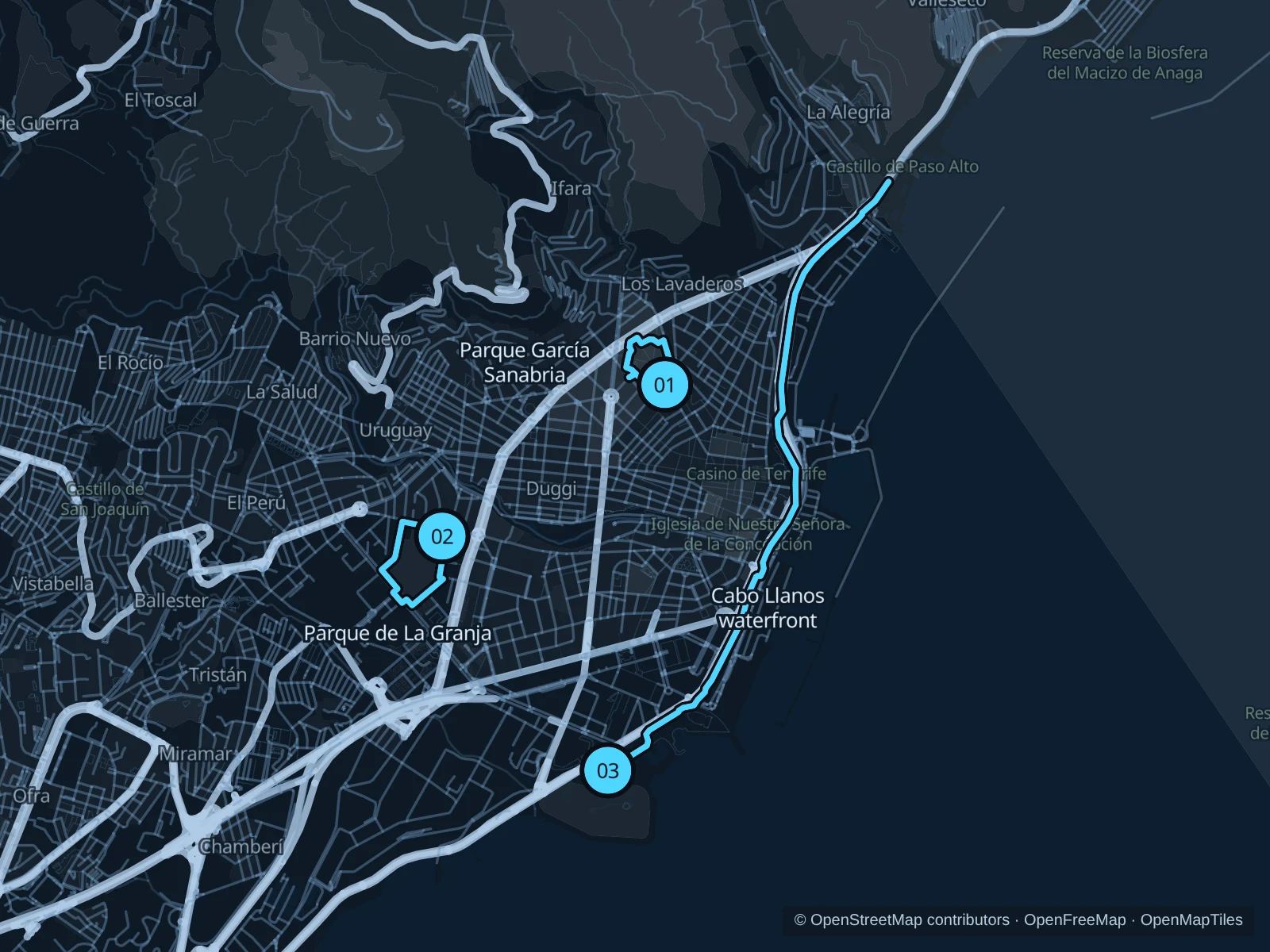
Choose García Sanabria for a short central park run, La Granja for a neighborhood circuit, or the public waterfront for a longer urban outing beside the harbor. Park loops can be repeated without climbing into Anaga.

Get running directions on your phone

Find a route near your hotel

The numbers mark each start. Distances exclude the journey from your accommodation.

Map data: © OpenStreetMap contributors · OpenFreeMap · OpenMapTiles

Where to run in Santa Cruz de Tenerife

Parque García Sanabria · two laps

Two easy park laps among mature trees and sculptures, near central hotels.
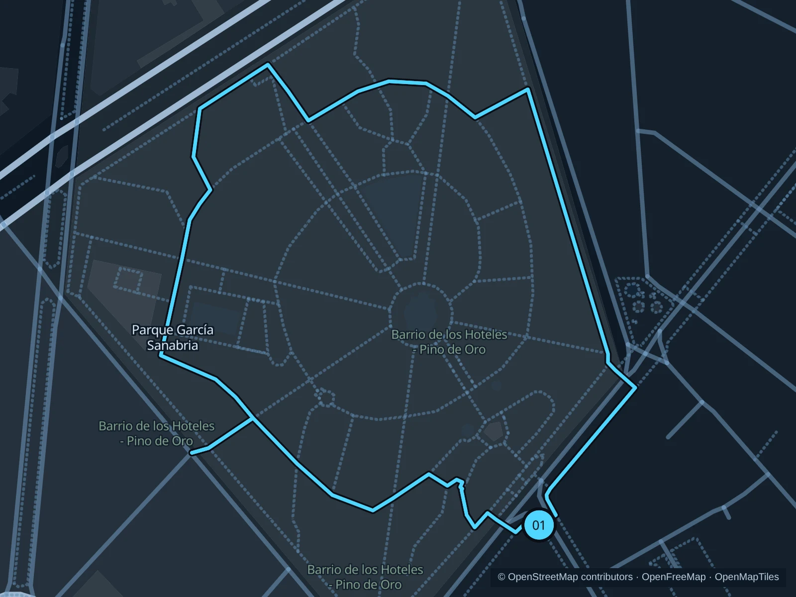
Map of the 1.8 km Parque García Sanabria · two laps run, with start and finish marked 01.
01 LoopOpen full-size map
Approx. distance1.8 km
Underfoot

Park paths, paved and unpaved

01

Start here

Public southern park path near the flower clock on Calle Méndez Núñez.

Run two laps of the public park paths around the lawns and return to the flower-clock side.

Getting there

Walk from downtown toward Calle Méndez Núñez and the public park paths.

Before you go

Ease up around walkers and garden visitors. Storms can close tree-lined parks; check signs before entering. The route includes steps; walk these sections.

Park / route information

Get running directions on your phone
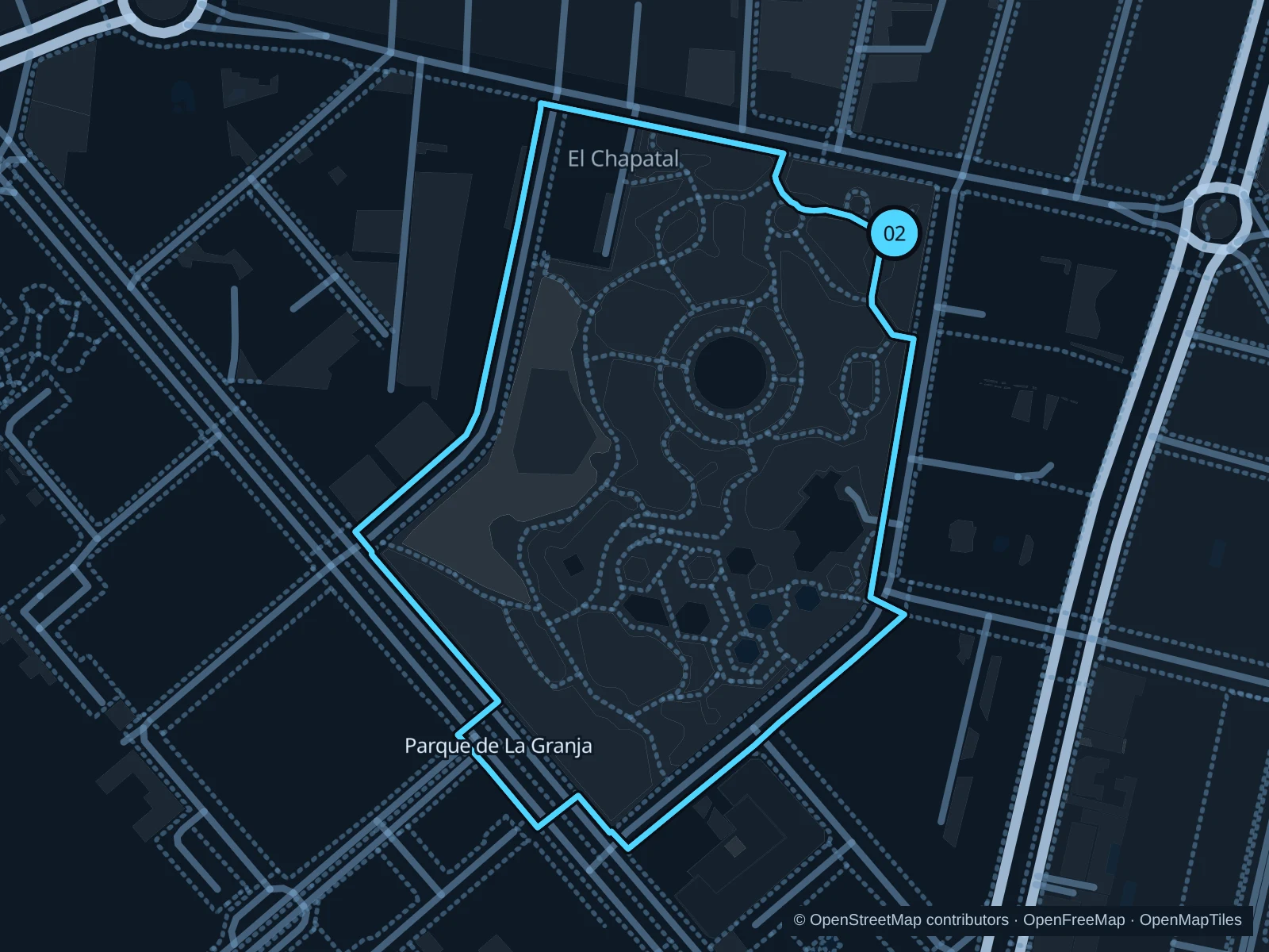
Parque de La Granja · two laps

Two compact laps around the open lawns and palms of a residential park.

Map of the 2.5 km Parque de La Granja · two laps run, with start and finish marked 02.
02 LoopOpen full-size map
Approx. distance2.5 km
Underfoot

Park paths, paved and unpaved

02

Start here

Public northern park entrance on Avenida de Bélgica.

Run two laps on the outer public paths and return to the Avenida de Bélgica entrance.

Getting there

Take public transit toward Avenida de Bélgica and walk into the public park.

Before you go

Give families and other runners room. Keep out of play areas and watch the paved corners after irrigation.

Park / route information

Get running directions on your phone

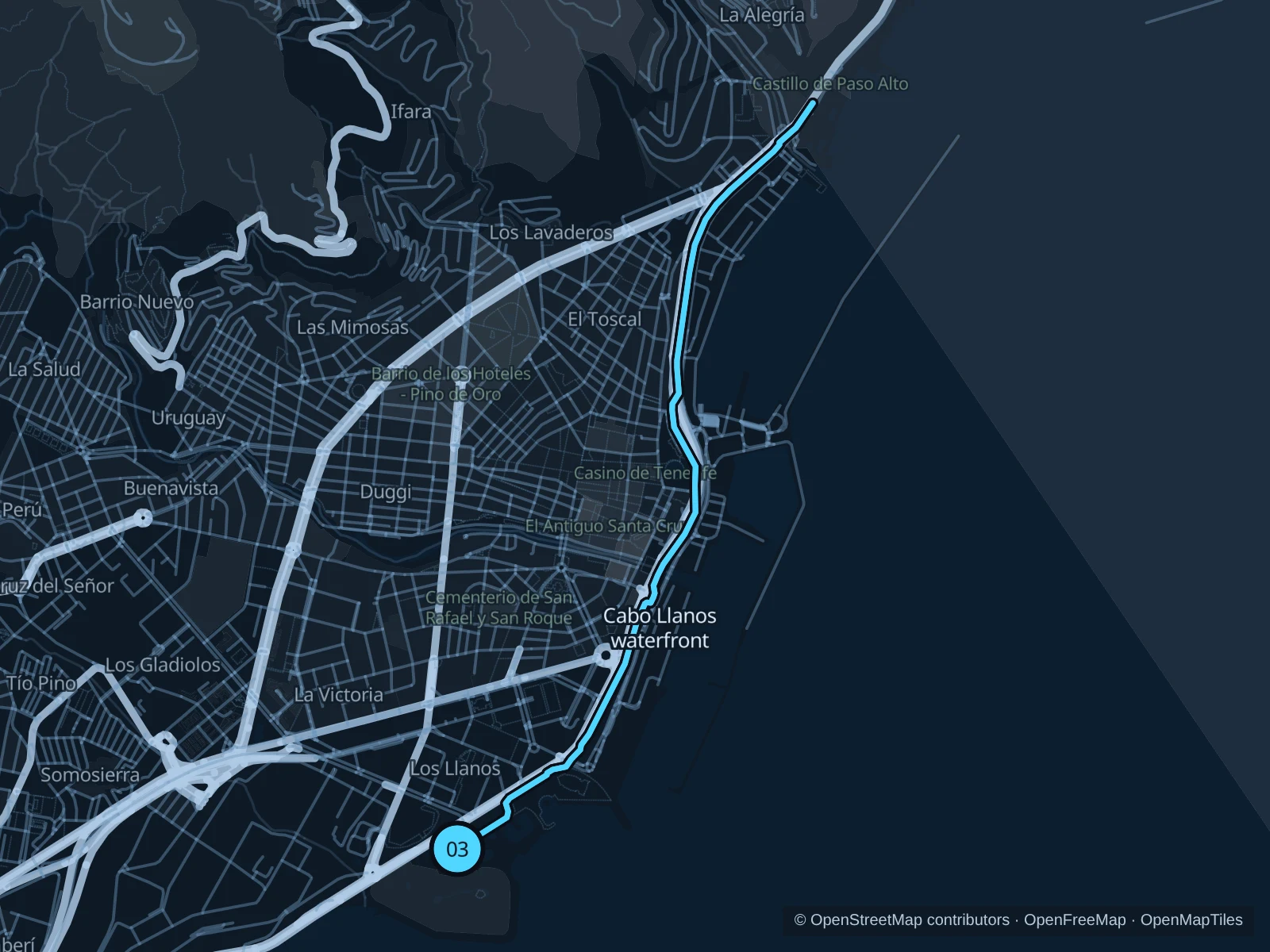
Public waterfront · Cabo Llanos northward

A longer urban run on the public side of the harbor, starting in Cabo Llanos.

Map of the 7.1 km Public waterfront · Cabo Llanos northward run, with start and finish marked 03.
03 Out & backOpen full-size map
Approx. distance7.1 km
Underfoot

Paved paths

03

Start here

Public Avenida de la Constitución footpath beside the Recinto Ferial, outside the swimming facilities.

Follow the mapped paths to the public northern waterfront and on toward Valleseco, then return along the same route.

Getting there

Walk from the Intercambiador bus station toward the Recinto Ferial and use the public Avenida de la Constitución footpath.

Before you go

This is an urban harbor route with crossings and little shade. Follow the mapped public paths and stay outside port gates, swimming facilities and the Palmetum.

Park / route information

Get running directions on your phone

Get running directions on your phone

Choose a distance and start at your hotel. RunFromHere plans a loop back to your door and guides you along it. Download the area’s map before you leave to use it offline.

The app generates its own routes from your chosen start; it doesn’t open the routes in this guide.

More places to run

Parque Cuchillitos de Tristán

A hill-park alternative above the city. Check current city notices for weather and fire-risk restrictions before traveling, and use only open public paths.

Park / route information

Parque de Las Mesas

A hilltop park alternative, only when access is permitted. The city issued a fire-risk closure in 2026; check current notices before traveling there.

Park / route information

Sources & route notes

Researched using the official visitor and park sources below; not checked on foot. Maps and GPX files use the same saved OpenStreetMap pedestrian paths. Distances are approximate. Check local notices for access, gate hours and diversions.

Researched