Skip to routes
RunFromHere
Get the app
English
Illustrated panorama of Reykjavík in white linework.

Reykjavík

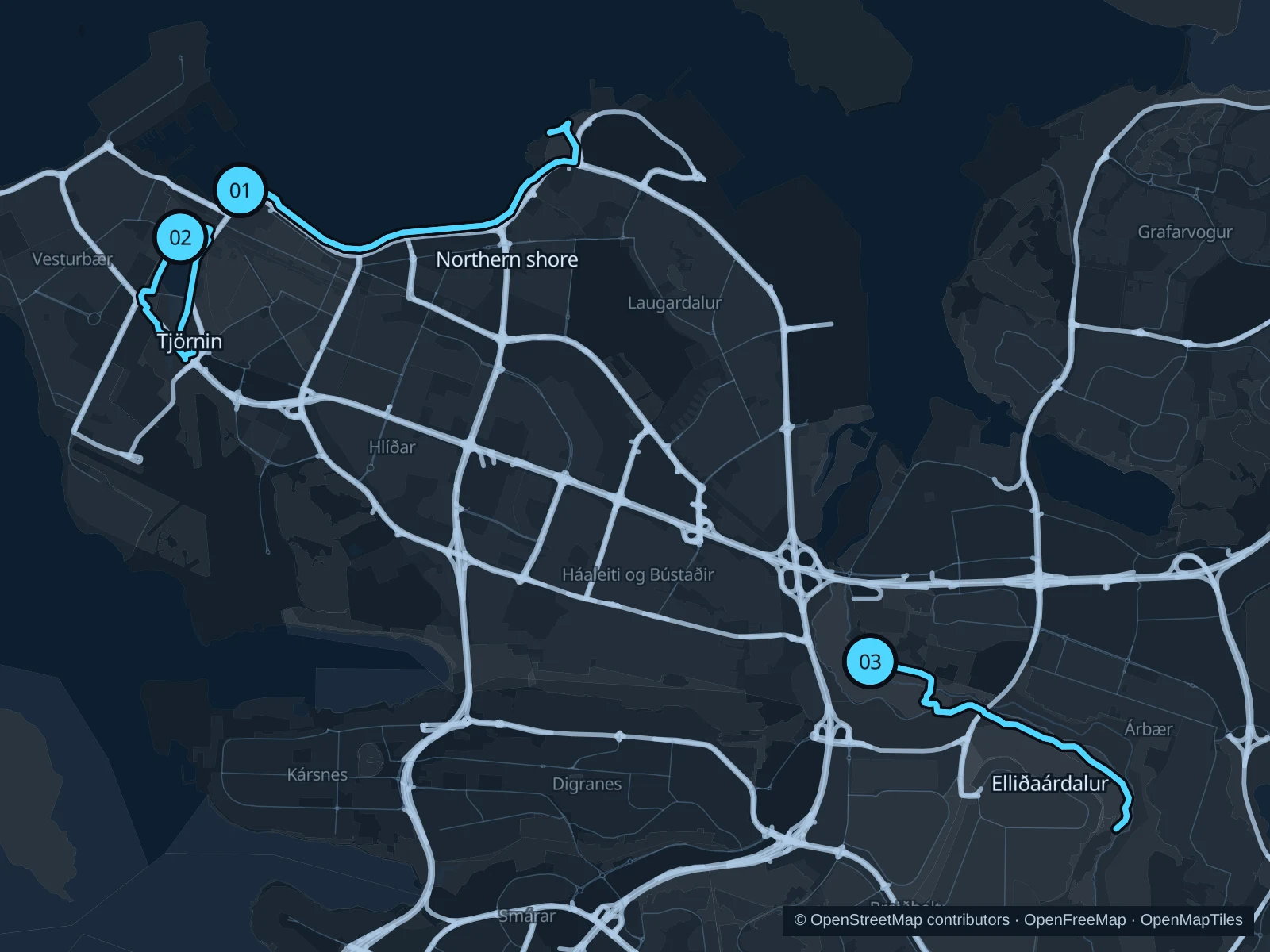
Reykjavík’s shore paths put sea and mountain views within easy reach of central hotels. Tjörnin and Hljómskálagarðurinn make a shorter city loop, while Elliðaárdalur is a separate river-valley outing. Let the weather set the plan: check wind, ice and daylight before setting off and, if needed, switch to a sheltered alternative that’s open.

Get running directions on your phone

Find a route near your hotel

The numbers mark each start. Distances exclude the journey from your accommodation.

Map data: © OpenStreetMap contributors · OpenFreeMap · OpenMapTiles

Where to run in Reykjavík

Sculpture & shore · northern waterfront

A longer waterfront out-and-back with public art and views across the bay toward the mountains.
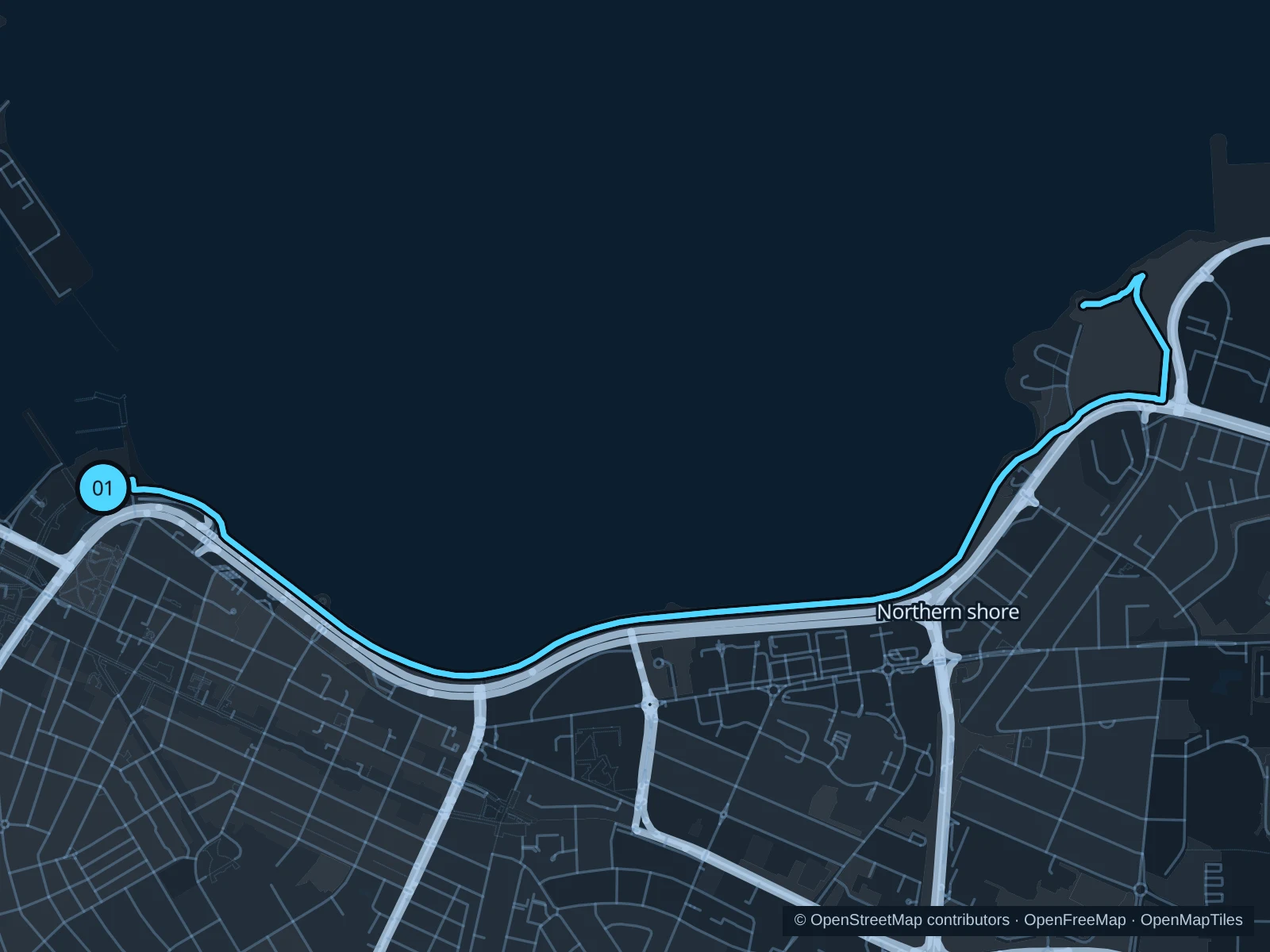
Map of the 6.7 km Sculpture & shore · northern waterfront run, with start and finish marked 01.
01 Out & backOpen full-size map
Approx. distance6.7 km
Underfoot

Paved public shore paths

01

Start here

On the public waterfront path outside Harpa.

Follow the saved shore path east past Sun Voyager and the Höfði area, continuing toward Laugarnes before returning the same way.

Getting there

Walk from downtown hotels or the old harbor to Harpa along public footpaths.

Before you go

Keep to the pedestrian side of shared or separated paths. Strong wind, sea spray and ice can make this exposed route unsuitable; respect closures and stay off the shore rocks.

Park / route information

Get running directions on your phone
Tjörnin · pond and park circuit

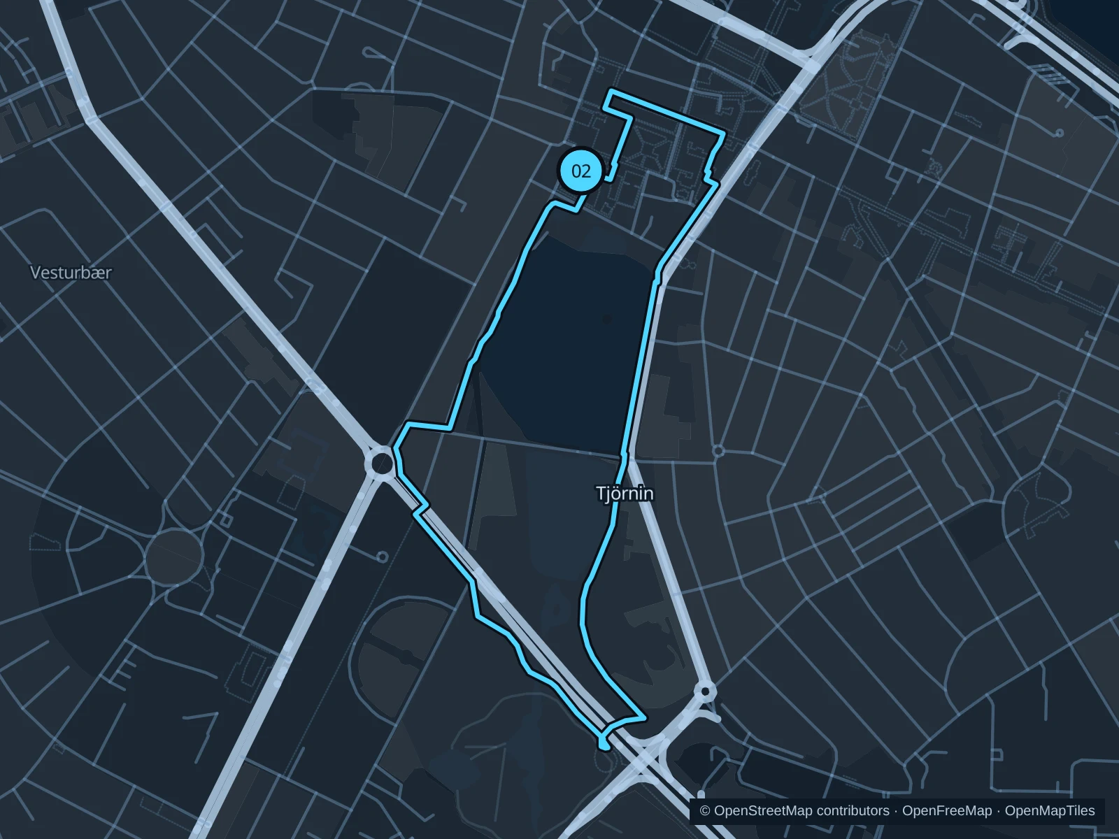
A compact circuit combining pond-side parks, garden paths and short stretches of downtown sidewalk.

Map of the 2.8 km Tjörnin · pond and park circuit run, with start and finish marked 02.
02 LoopOpen full-size map
Approx. distance2.8 km
Underfoot

Paved and compacted park paths with street crossings

02

Start here

On the public path near City Hall at the northern end of Tjörnin.

Follow the saved eastern paths south into Hljómskálagarðurinn, return along the western park paths and use the recorded northern street links to close the circuit.

Getting there

Walk from the downtown shopping streets toward City Hall and the pond.

Before you go

This is a park-and-city circuit rather than an uninterrupted pond-edge path. Yield to birds and pedestrians, use crossings and stay off the pond even if its surface looks frozen.

Park / route information

Get running directions on your phone

Elliðaárdalur · valley paths

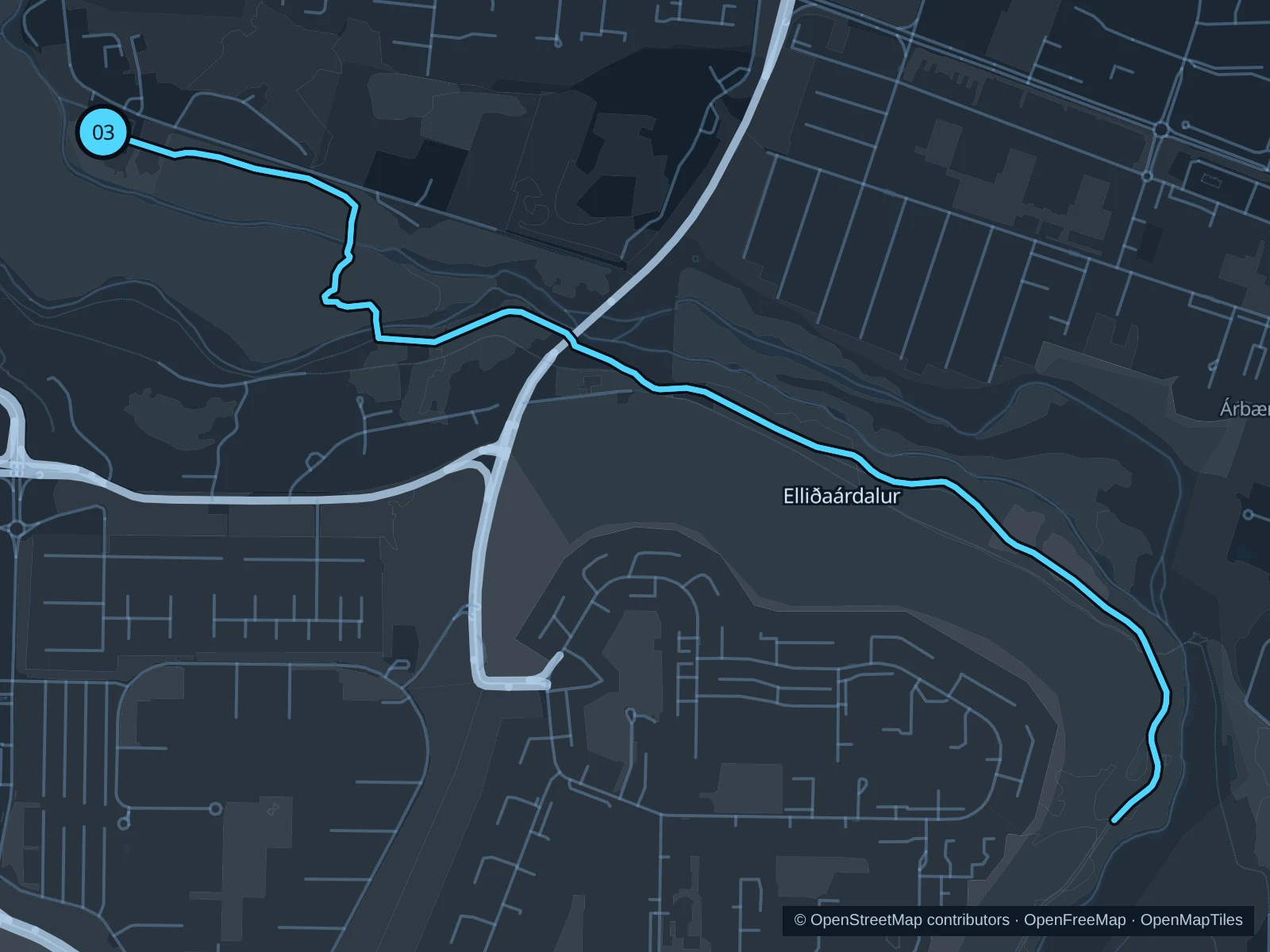
A separate out-and-back through the green river-valley paths from the restored power-station area.

Map of the 5.5 km Elliðaárdalur · valley paths run, with start and finish marked 03.
03 Out & backOpen full-size map
Approx. distance5.5 km
Underfoot

Public valley paths with paved and unpaved sections

03

Start here

On the public recreation path beside Elliðaárstöð.

Follow the saved valley paths southeast along the river corridor and retrace them from the recorded turnaround.

Getting there

Take a city bus or taxi toward Elliðaárstöð, then walk to the signed start of the public recreation path.

Before you go

The tourist board also describes a longer valley loop; this saved outing is a shorter out-and-back. Keep to public paths, give anglers room and expect icy bridges in winter.

Park / route information

Get running directions on your phone

Get running directions on your phone

Choose a distance and start at your hotel. RunFromHere plans a loop back to your door and guides you along it. Download the area’s map before you leave to use it offline.

The app generates its own routes from your chosen start; it doesn’t open the routes in this guide.

More places to run

Laugardalur

A separate park and sports district east of the center. Use the public recreation paths; the pool, zoo, botanical collections and fenced sports grounds have their own access rules.

Park / route information

Öskjuhlíð

Wooded slopes around Perlan offer a hillier change of scenery. Keep to established public trails and plan any museum visit separately; roots, ice and limited light make for tougher going.

Park / route information

Sources & route notes

Researched using the official visitor and park sources below; not checked on foot. Maps and GPX files use the same saved OpenStreetMap pedestrian paths. Distances are approximate. Check local notices for access, gate hours and diversions.

Researched