
Skip to routes
RunFromHere
Get the app
English
White line illustration of Puerto del Carmen’s harbour, low white buildings and Lanzarote coastline.

Puerto del Carmen

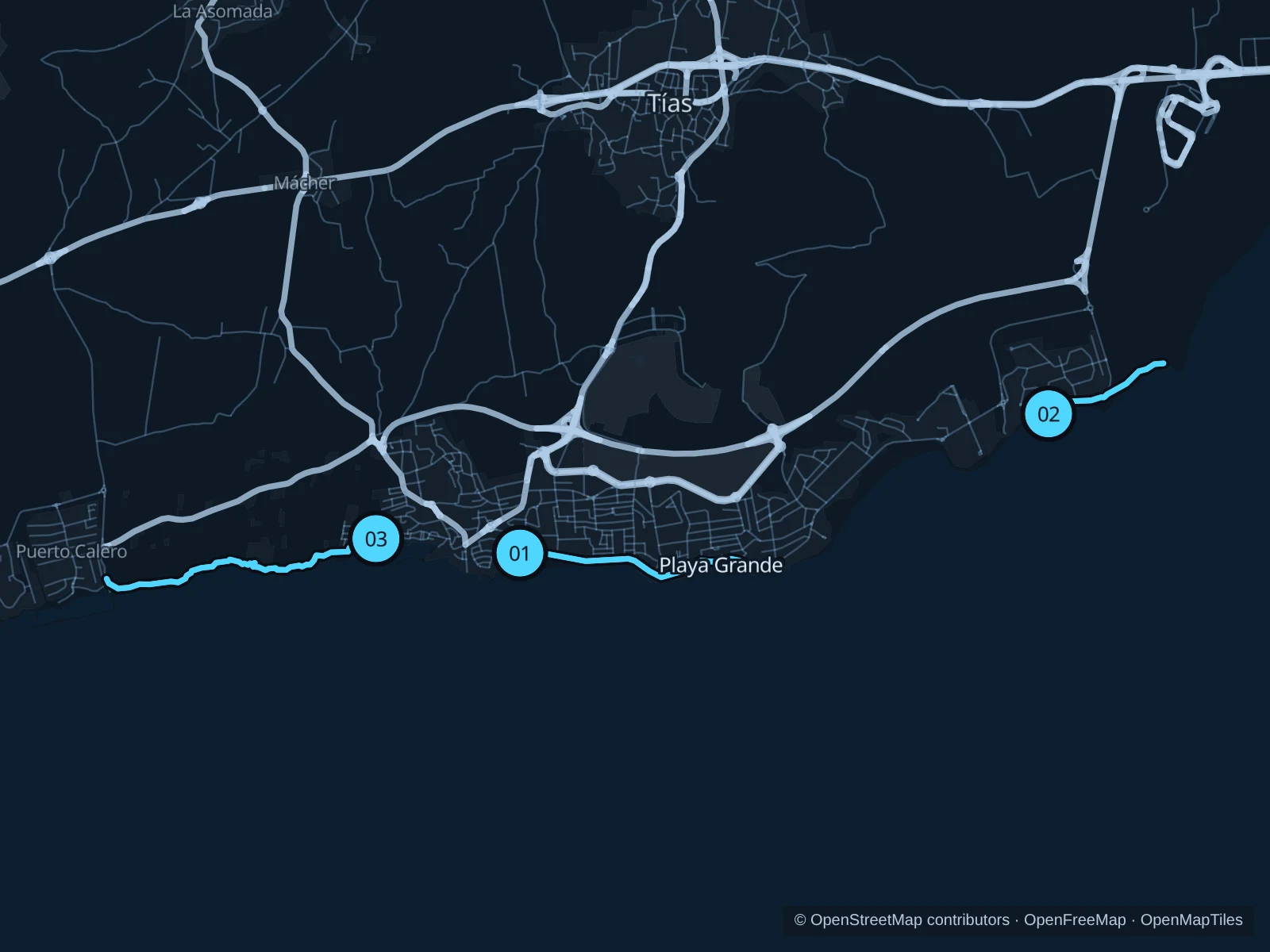
Puerto del Carmen has two very different kinds of coastal running: the paved Avenida de las Playas beside the resort beaches, and the rougher trail west towards Puerto Calero. Choose the central promenade for an easy outing, Matagorda for a short run near the airport-end hotels, or the cliff path for steps and uneven ground.

Get running directions on your phone

Find a route near your hotel

The numbers mark each start. Distances exclude the journey from your accommodation.

Map data: © OpenStreetMap contributors · OpenFreeMap · OpenMapTiles

Where to run in Puerto del Carmen

Playa Grande · Avenida de las Playas

A straightforward run along the livelier resort frontage, with beach views and shops close by. This is the paved middle-distance choice.
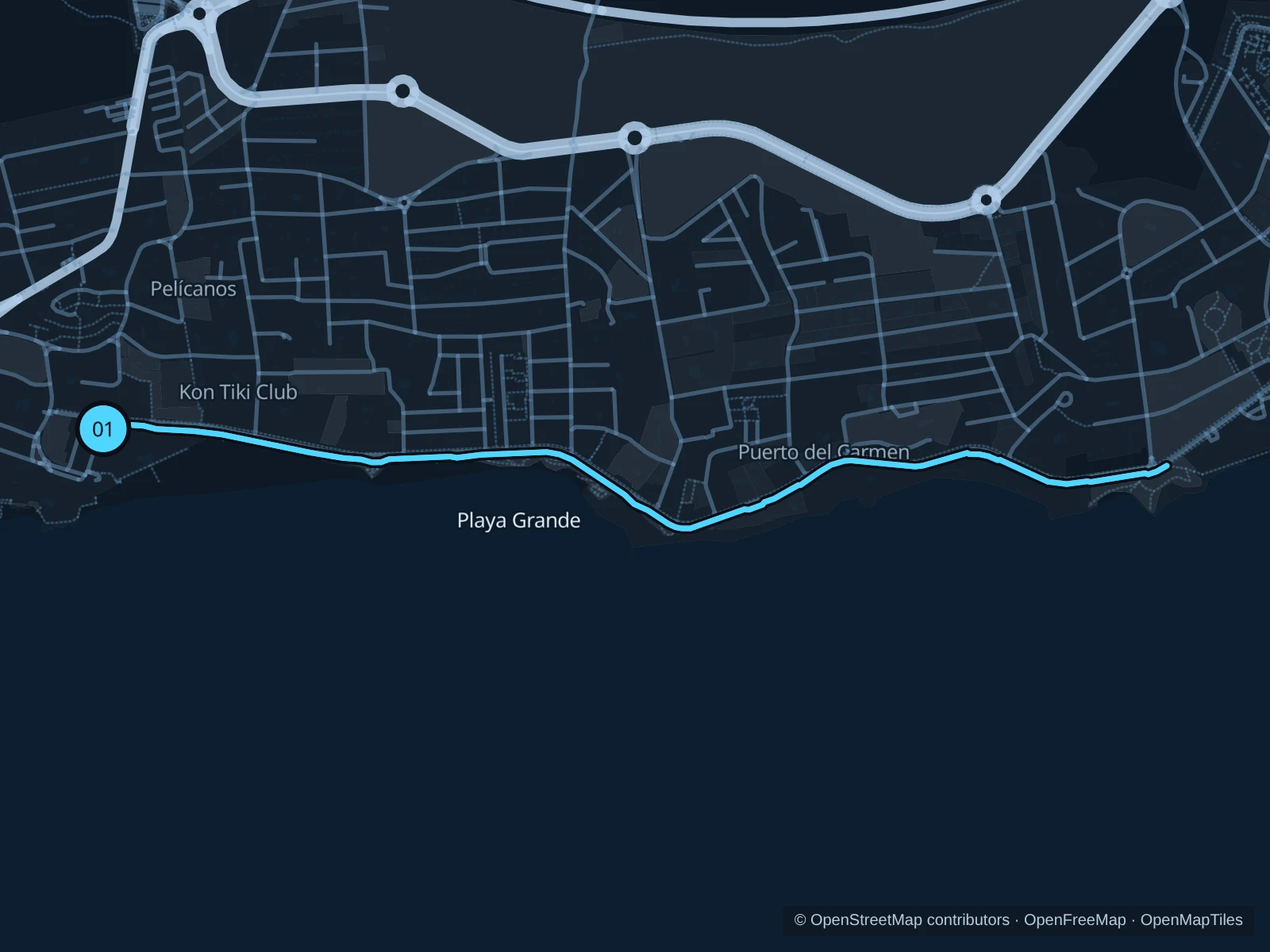
Map of the 4.5 km Playa Grande · Avenida de las Playas run, with start and finish marked 01.
01 Out & backOpen full-size map
Approx. distance4.5 km
Underfoot

Paved footway, with uneven stone sections

01

Start here

On the seaward footway of Avenida de las Playas at the western end of Playa Grande.

Follow the seaward footway east along Playa Grande and past the small coves towards El Barranquillo. Turn at the eastern end of this saved footway, before the Los Pocillos section, and retrace it.

Getting there

Walk downhill from the central resort streets to Playa Grande; start on the promenade rather than the sand.

Before you go

Keep on the pedestrian footway beside the marked cycle route. Beach entrances and café areas are busy; some of the stone paving is uneven.

Park / route information

Get running directions on your phone
Matagorda · Punta Lima

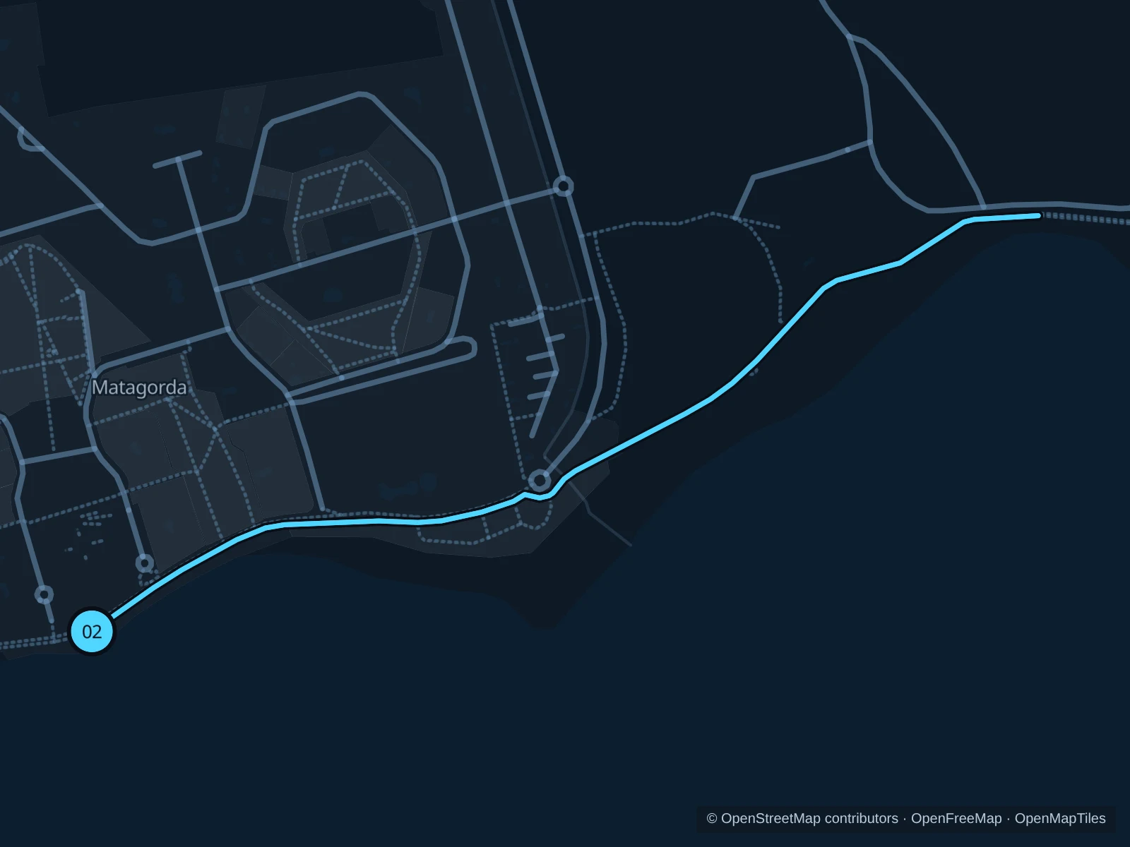
A short outing away from the central strip, where the coast turns around Punta Lima beside the airport.

Map of the 2.1 km Matagorda · Punta Lima run, with start and finish marked 02.
02 Out & backOpen full-size map
Approx. distance2.1 km
Underfoot

Paved promenade and asphalt footway

02

Start here

On Avenida de las Playas beside Playa de Matagorda, at its eastern curve towards Punta Lima.

Run east along the promenade, round the Punta Lima coast and onto the public footway at the southern end of Playa Guasimeta. Turn where the saved route ends beside the beach and return.

Getting there

Approach from the Matagorda shopping area on the public beach promenade.

Before you go

There is little shade and this corner catches the wind. Stay on the public coastal path, clear of the runway fence and cycle lanes.

Park / route information

Get running directions on your phone
Mirador del Puerto · Puerto Calero trail

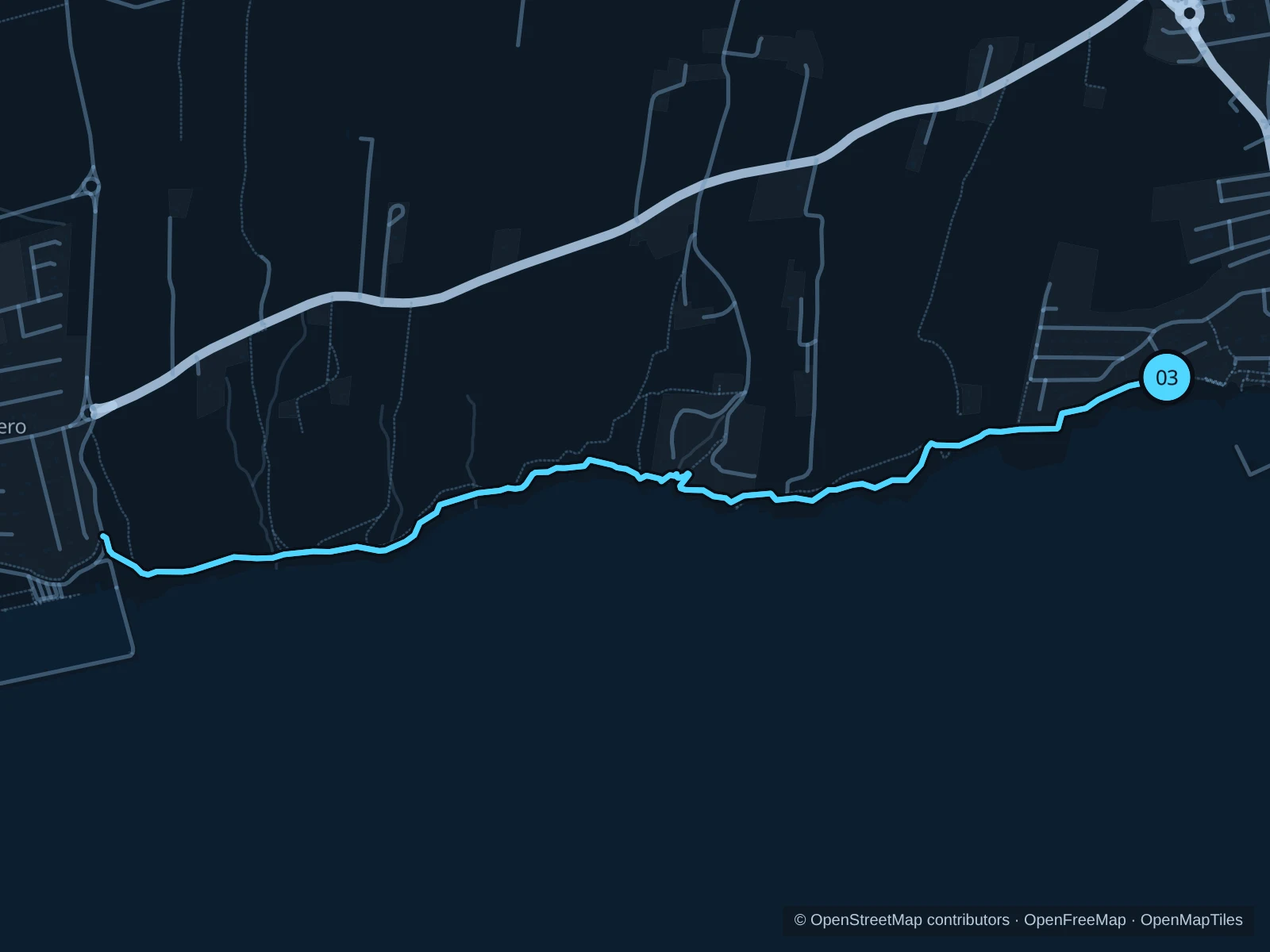
The longer, rougher option leaves the built-up resort for the low cliff coast. Expect a trail effort rather than promenade pacing.

Map of the 5.1 km Mirador del Puerto · Puerto Calero trail run, with start and finish marked 03.
03 Out & backOpen full-size map
Approx. distance5.1 km
Underfoot

Paving, compacted dirt, stones and steps

03

Start here

On the public coastal walkway beside Mirador del Puerto, west of the old harbour.

Follow the coastal path southwest, descend and climb through the Barranco del Quíquere crossing, then continue to the path junction at the eastern edge of Puerto Calero. Turn before the marina streets and retrace the trail.

Getting there

Walk uphill from El Varadero to Mirador del Puerto; the saved distance begins at the viewpoint-side path.

Before you go

Walk the steps and rough descents. The exposed path has uneven edges and no reliable shade; carry water and avoid it during high winds or a posted closure.

Park / route information

Get running directions on your phone

Get running directions on your phone

Choose a distance and start at your hotel. RunFromHere plans a loop back to your door and guides you along it. Download the area’s map before you leave to use it offline.

The app generates its own routes from your chosen start; it doesn’t open the routes in this guide.

More places to run

Los Pocillos · Plaza de las Naciones

A broad beach frontage between the central resort and Matagorda. The public plaza is useful for a shorter local outing; give skaters and families room.

Park / route information

Playa Honda

Make a separate trip beyond the airport for another long seafront. Its public promenade offers a different starting point; expect wind and shared use.

Park / route information

Sources & route notes

Researched using the official visitor and park sources below; not checked on foot. Maps and GPX files use the same saved OpenStreetMap pedestrian paths. Distances are approximate. Check local notices for access, gate hours and diversions.

Researched