
Skip to routes
RunFromHere
Get the app
English
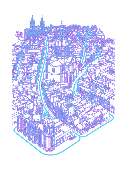
White line illustration of Philadelphia and its riverfront parks.

Philadelphia

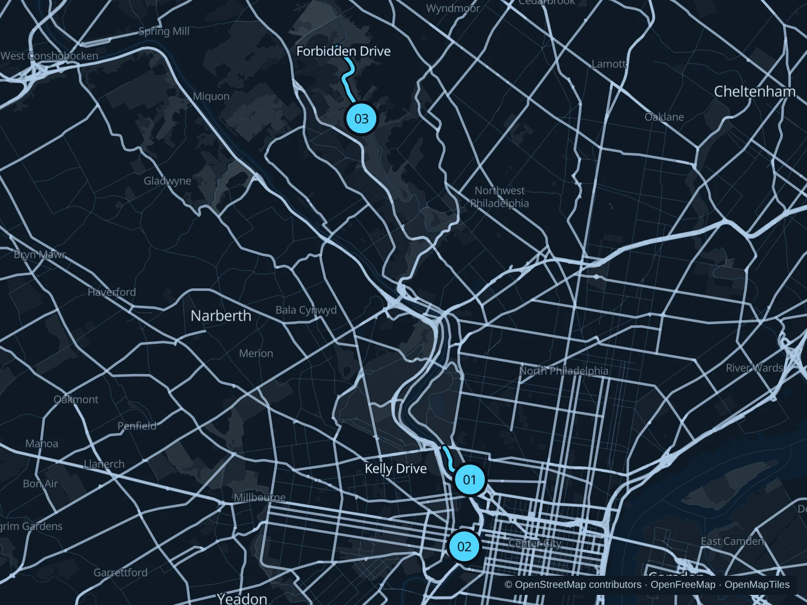
Boathouse Row gives you a riverside run near the Art Museum, Penn Park fits a short break in University City, and Forbidden Drive follows a wooded creek farther northwest. Choose the area that suits your stay; the approach from your hotel is extra.

Get running directions on your phone

Find a route near your hotel

The numbers mark each start. Distances exclude the journey from your accommodation.

Map data: © OpenStreetMap contributors · OpenFreeMap · OpenMapTiles

Where to run in Philadelphia

Boathouse Row and Kelly Drive

Historic rowing clubs and river views make this a straightforward option for stays around Fairmount.
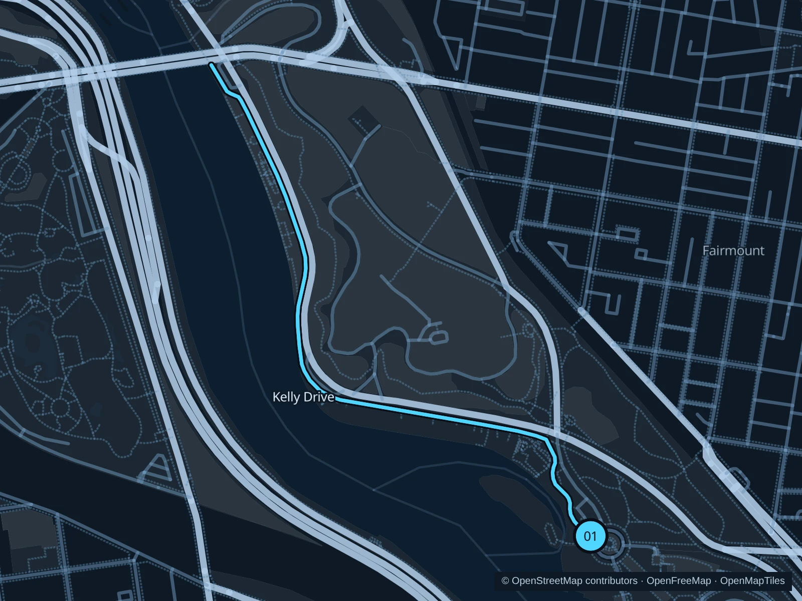
Map of the 2.5 km Boathouse Row and Kelly Drive run, with start and finish marked 01.
01 Out & backOpen full-size map
Approx. distance2.5 km
Underfoot

Paved shared trail

01

Start here

On the Schuylkill River Trail beside Lloyd Hall at Boathouse Row.

Run northwest past the boathouses on the east-bank Schuylkill River Trail. Turn just beyond the Girard Avenue Bridge and return the same way.

Getting there

Walk from the Art Museum district to Lloyd Hall; use the public riverside trail rather than Kelly Drive’s traffic lanes.

Before you go

Expect bikes, rowing crews and event traffic near the boathouses. Keep to the trail and follow any regatta or maintenance diversions.

Park / route information

Get running directions on your phone
Penn Park paths

A short circuit between sports fields and planted slopes is handy for university visits or an arrival day near 30th Street.

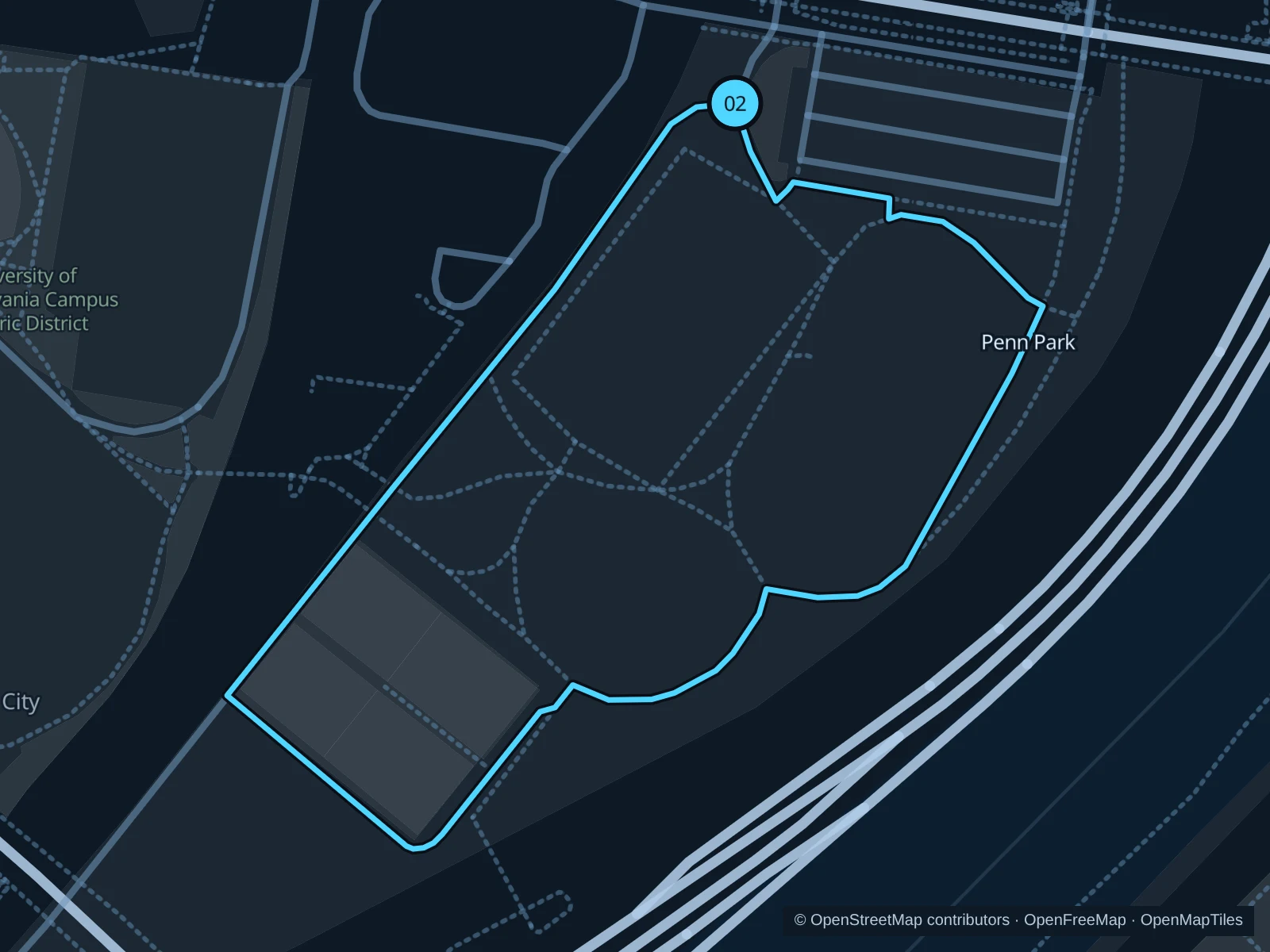
Map of the 1.0 km Penn Park paths run, with start and finish marked 02.
02 LoopOpen full-size map
Approx. distance1.0 km
Underfoot

Mostly paved park paths

02

Start here

On the park path just south of the Walnut Street pedestrian entrance.

Follow the paths south along the eastern side of the fields, turn around their southern end, and return on the western paths to the Walnut Street entrance. Stay outside the playing surfaces.

Getting there

Walk south from 30th Street Station to Walnut Street, then take the signed pedestrian entrance into Penn Park.

Before you go

Check the posted opening hours and event restrictions. The saved route stays on circulation paths; fields and courts have separate access rules.

Park / route information Park / route information Park / route information

Get running directions on your phone
Forbidden Drive to Thomas Mill

The longer option exchanges the downtown skyline for a broad wooded path beside Wissahickon Creek.

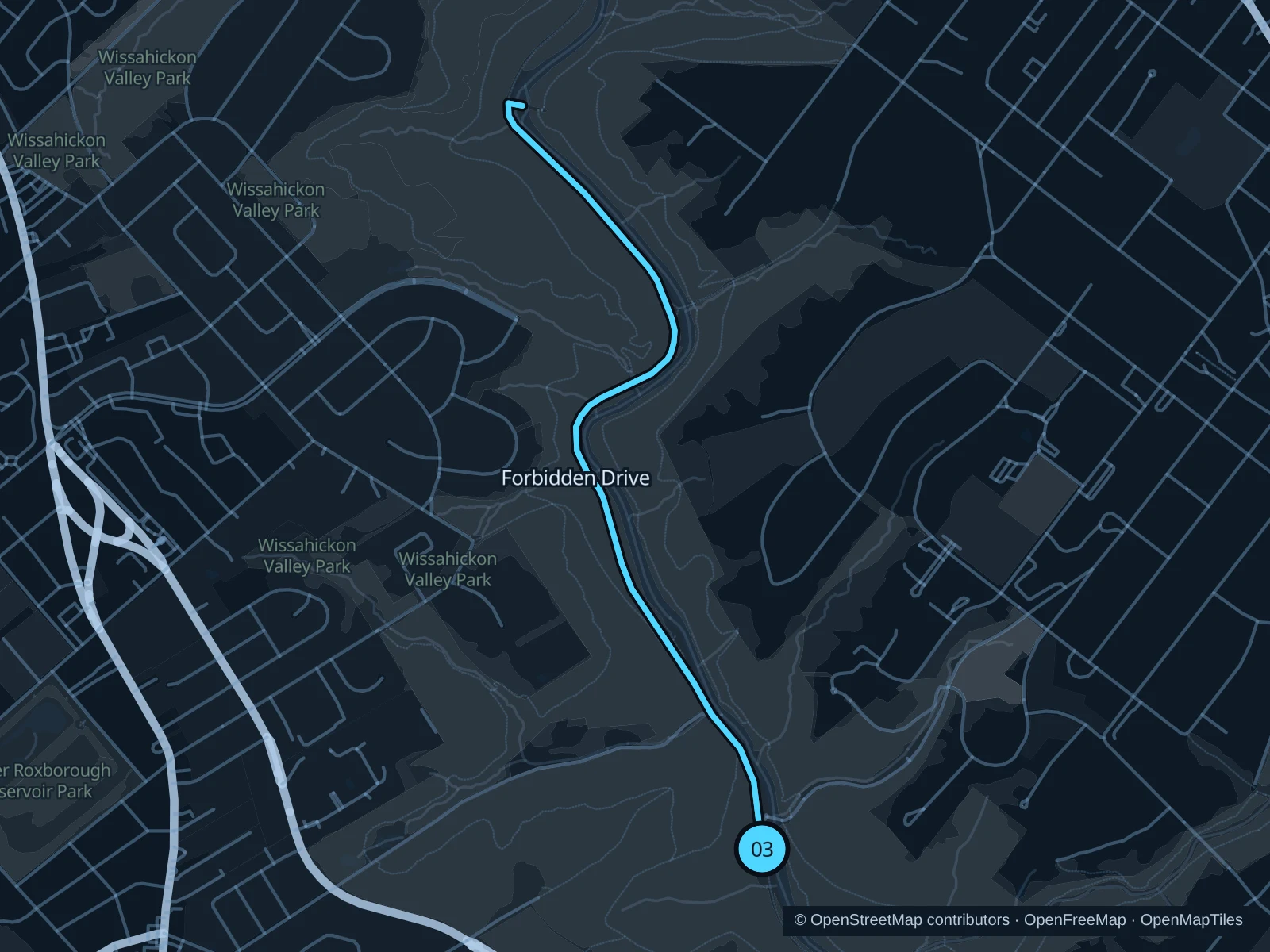
Map of the 4.7 km Forbidden Drive to Thomas Mill run, with start and finish marked 03.
03 Out & backOpen full-size map
Approx. distance4.7 km
Underfoot

Compacted gravel and earth

03

Start here

On Forbidden Drive beside Valley Green Inn, south of Valley Green Road Bridge.

Follow Forbidden Drive north beside the creek to the path junction for Thomas Mill Covered Bridge. Turn before the covered bridge and retrace Forbidden Drive to Valley Green Inn.

Getting there

Plan a separate trip to Valley Green Road; from Chestnut Hill, walk down the public road into the valley. Check notices about the planned bridge work before you go.

Before you go

Go in daylight, yield to horses, and at the mapped vehicle gate use only the open pedestrian access. Bridge work is planned for 2027; check access notices and do not pass closures.

Park / route information Park / route information Park / route information

Get running directions on your phone

Get running directions on your phone

Choose a distance and start at your hotel. RunFromHere plans a loop back to your door and guides you along it. Download the area’s map before you leave to use it offline.

The app generates its own routes from your chosen start; it doesn’t open the routes in this guide.

More places to run

Schuylkill Banks

South of the Art Museum, the river path and boardwalk are handy for central hotels. Work on the JFK Boulevard and Market Street bridges currently brings restrictions, including overnight closures; check the operator’s latest notices.

Park / route information

Manayunk Canal Towpath

Gravel and boardwalk behind Main Street offer a different riverside outing, with cafés nearby. Slow down on the narrow wooden sections and check local notices after flooding.

Park / route information

Sources & route notes

Researched using the official visitor and park sources below; not checked on foot. Maps and GPX files use the same saved OpenStreetMap pedestrian paths. Distances are approximate. Check local notices for access, gate hours and diversions.

Researched