
Skip to routes
RunFromHere
Get the app
English
White line illustration of Perth’s skyline beside the Swan River and Kings Park.

Perth

Perth’s Swan River paths suit a run between meetings or before a day out. The north-bank route starts beside the city centre, South Perth puts the skyline across the water, and Kings Park replaces the flat foreshore with bushland and slopes. The saved routes avoid the current Coode Street works and the Boorloo Bridge crossing.

Get running directions on your phone

Find a route near your hotel

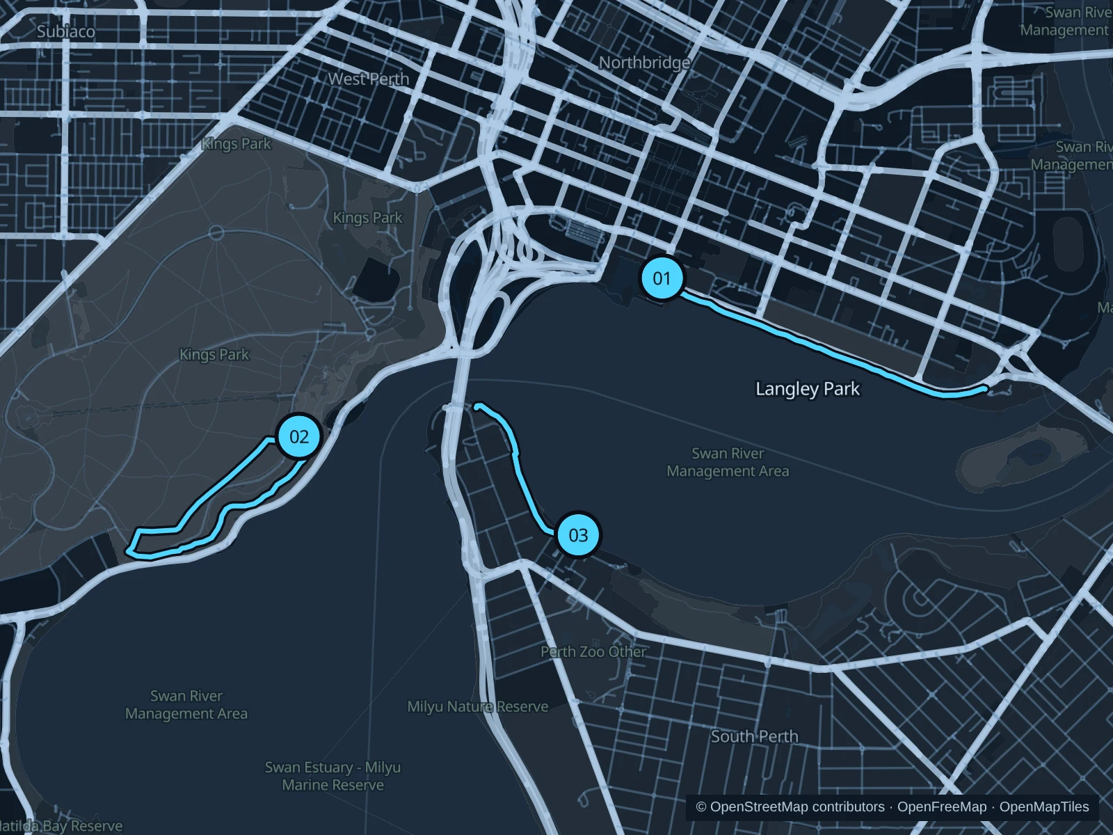
The numbers mark each start. Distances exclude the journey from your accommodation.

Map data: © OpenStreetMap contributors · OpenFreeMap · OpenMapTiles

Where to run in Perth

Barrack Square · Langley Park riverside

The longer flat option follows the north bank beside the central business district. Open river views make this useful for a straightforward run near city hotels.
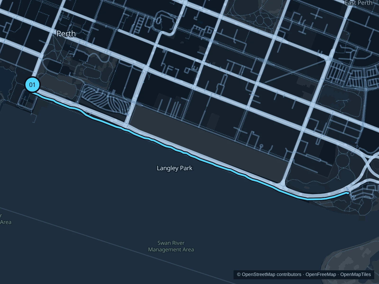
Map of the 3.9 km Barrack Square · Langley Park riverside run, with start and finish marked 01.
01 Out & backOpen full-size map
Approx. distance3.9 km
Underfoot

Paved footways and asphalt shared path

01

Start here

On the public footway at the northeast side of Barrack Square, by Barrack Street.

Use the signal-controlled crossing onto the river path, then follow it east along Langley Park to the public path junction by the Plain Street end. Turn there and return, without continuing onto Boorloo Bridge.

Getting there

Walk from Elizabeth Quay station towards Barrack Square and the Bell Tower; stay on the public pavement.

Before you go

Keep left on the shared path and wait at the crossing near the start. Much of the riverside is exposed; carry water and check event diversions before leaving.

Park / route information Park / route information

Get running directions on your phone
Kings Park · Law Walk and bushland loop

A hilly change from river running, combining an escarpment path with quieter bushland tracks. The effort comes from slopes and mixed surfaces rather than distance.

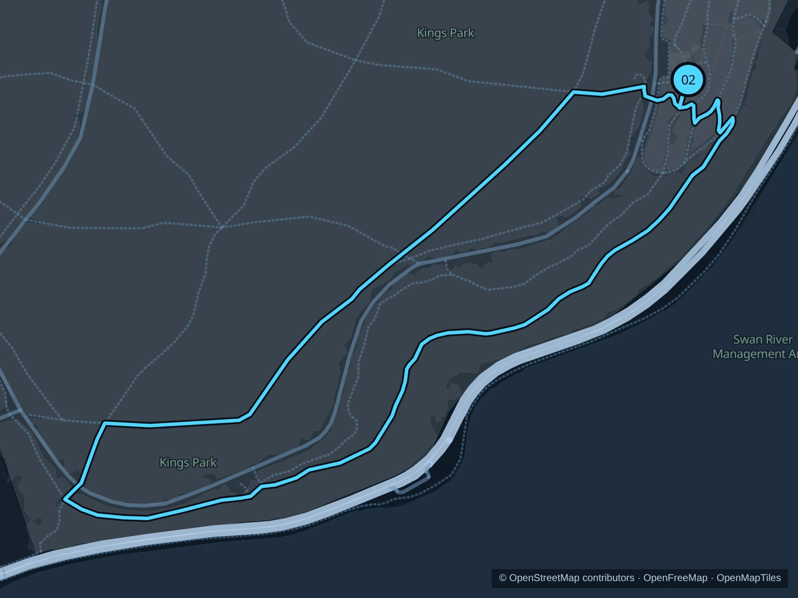
Map of the 2.8 km Kings Park · Law Walk and bushland loop run, with start and finish marked 02.
02 LoopOpen full-size map
Approx. distance2.8 km
Underfoot

Paved paths, concrete and short dirt-track sections

02

Start here

On the public garden path at Roe Gardens in Kings Park.

Join Law Walk from Roe Gardens and follow it southwest towards Dryandra Lookout. Return inland via Crawley Path, Zamia Path, Woolybush Track and Goanna Path to the garden paths at Roe Gardens. The short access path at Roe Gardens is used in both directions.

Getting there

Take a bus into the Fraser Avenue precinct, then walk through the park to Roe Gardens. This approach is outside the saved distance.

Before you go

Stay on designated tracks, run in daylight and slow for walkers and uneven ground. Check Kings Park fire and weather notices. This loop avoids the Federation Walkway (open only at set times), the Mount Eliza service-road works and the removed Lover’s Walk.

Park / route information Park / route information Park / route information

Get running directions on your phone
South Perth · Mindeerup to Mill Point

A short run on the opposite bank gives you the city skyline across the river. It stays west of Mends Street, away from the Coode Street restoration works.

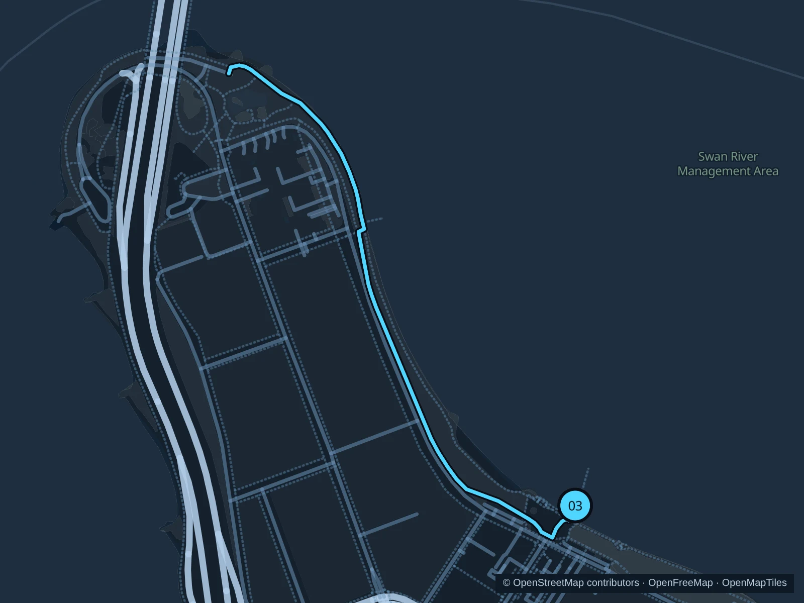
Map of the 2.1 km South Perth · Mindeerup to Mill Point run, with start and finish marked 03.
03 Out & backOpen full-size map
Approx. distance2.1 km
Underfoot

Paved and concrete foreshore paths, with a short timber section

03

Start here

At the landward public boardwalk of Mindeerup Plaza beside Mends Street beach.

Take the foreshore paths west from Mindeerup, follow the river around Mill Point and turn at the saved path junction near the Narrows Bridge approach. Return along the same shoreline, without crossing the bridge.

Getting there

Approach from Mends Street, or walk ashore from the ferry terminal. The ferry journey is not part of the run.

Before you go

Keep clear of ferry passengers around the plaza and use the pedestrian side where paths separate. Do not extend east through Coode Street works without following the current signed detour.

Park / route information Park / route information

Get running directions on your phone

Get running directions on your phone

Choose a distance and start at your hotel. RunFromHere plans a loop back to your door and guides you along it. Download the area’s map before you leave to use it offline.

The app generates its own routes from your chosen start; it doesn’t open the routes in this guide.

More places to run

Claisebrook Cove

A separate East Perth option around the inlet and Victoria Gardens. Good for nearby apartment stays; check local path-renewal signs rather than assuming every waterfront section is open.

Park / route information

Galup Reserve · formerly Lake Monger

Travel northwest of the centre for shared paths around a wetland, with birdlife and open parkland. Stay on the paths and keep clear of the water and wildlife.

Park / route information

Sources & route notes

Researched using the official visitor and park sources below; not checked on foot. Maps and GPX files use the same saved OpenStreetMap pedestrian paths. Distances are approximate. Check local notices for access, gate hours and diversions.

Researched