Skip to routes
RunFromHere
Get the app
English
Illustrated panorama of Paris in white linework.

Paris

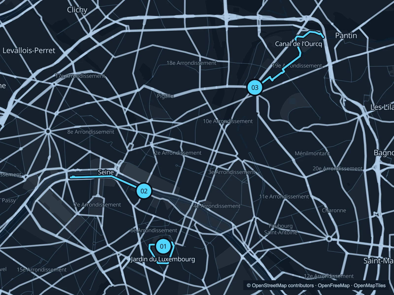
The Seine gives you the bridges and river views; the Luxembourg gardens fit a shorter run on the Left Bank. For a longer stretch away from the central sights, follow the water from Bassin de la Villette towards the Canal de l’Ourcq.

Get running directions on your phone

Find a route near your hotel

The numbers mark each start. Distances exclude the journey from your accommodation.

Map data: © OpenStreetMap contributors · OpenFreeMap · OpenMapTiles

Where to run in Paris

Jardin du Luxembourg

Gravel avenues, formal gardens and the round basin below the palace. This short circuit works well before a morning in Saint-Germain.
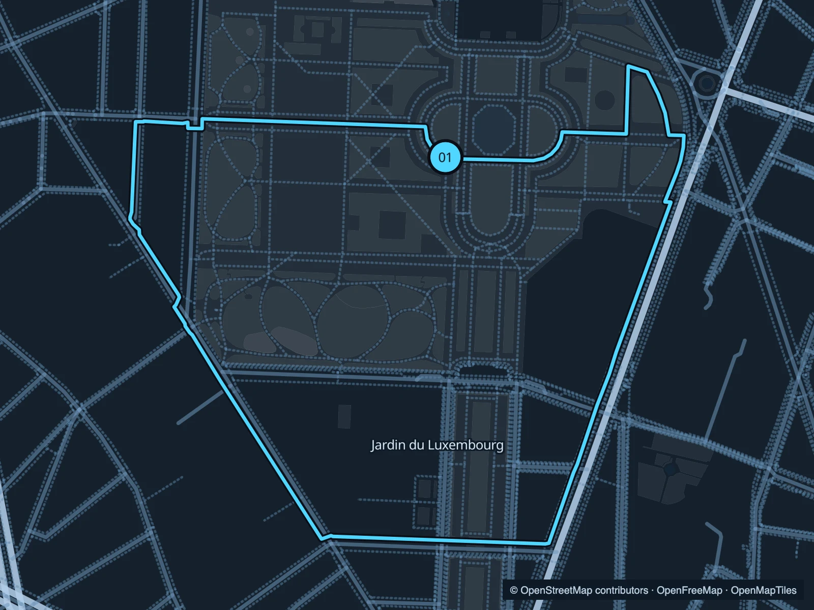
Map of the 2.2 km Jardin du Luxembourg run, with start and finish marked 01.
01 LoopOpen full-size map
Approx. distance2.2 km
Underfoot

Gravel and paved garden paths

01

Start here

Beside the central basin, on its southern side.

Circle through the southern gardens and return past the palace-side paths.

Getting there

Walk into the gardens from the Luxembourg RER station side.

Before you go

The gardens have gates. Check the posted opening hours before an early start.

Park / route information

Get running directions on your phone
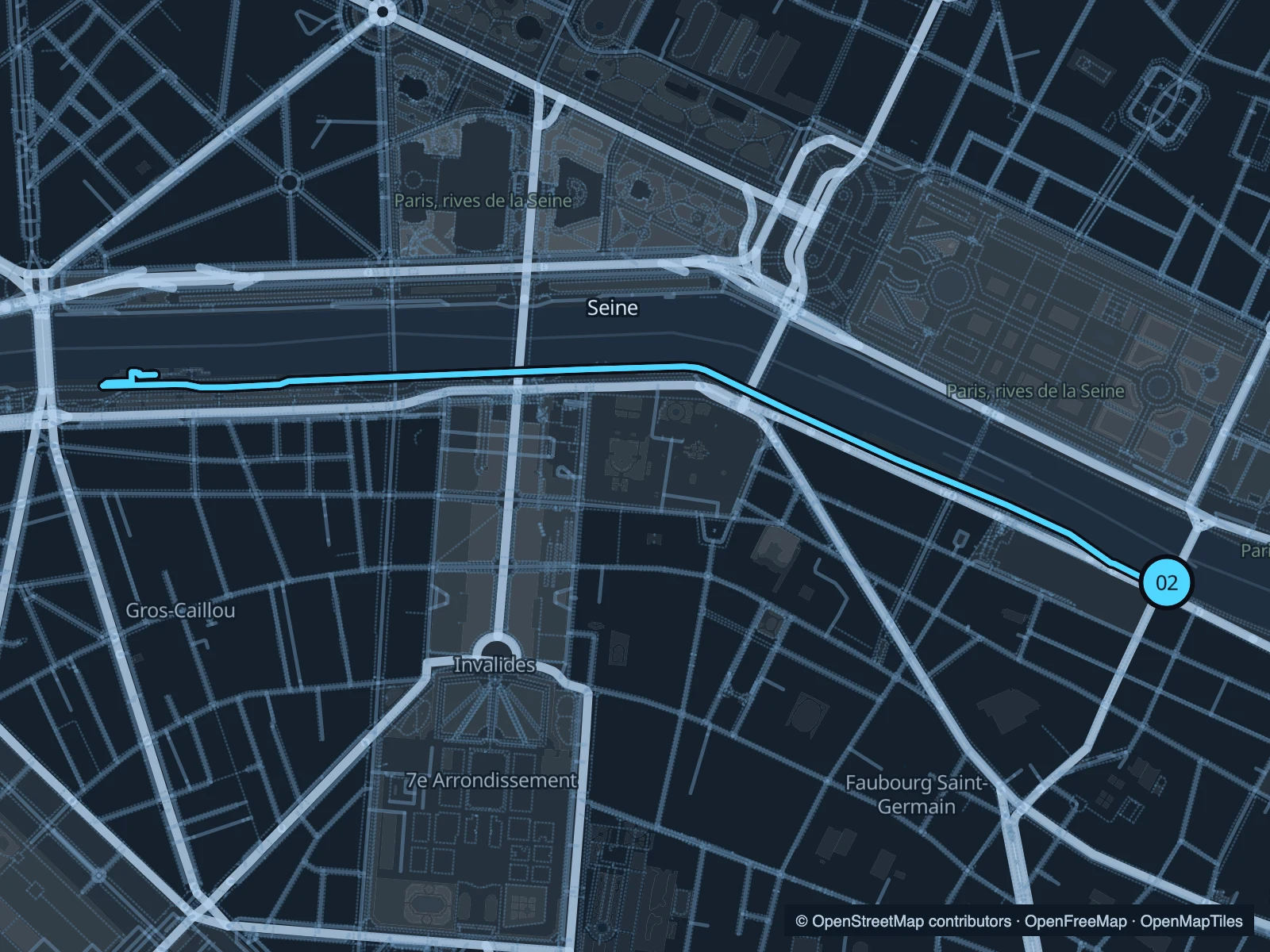
Seine · Pont Royal to Pont de l’Alma

Below the embankment walls, the river path passes the Musée d’Orsay side of the Seine. Turn around near Pont de l’Alma.

Map of the 4.3 km Seine · Pont Royal to Pont de l’Alma run, with start and finish marked 02.
02 Out & backOpen full-size map
Approx. distance4.3 km
Underfoot

Paved lower quays

02

Start here

On the lower left-bank quay near Pont Royal.

Follow the left bank west towards Pont de l’Alma and retrace the same path.

Getting there

Approach from Musée d’Orsay; use a signed ramp or staircase down to the quay.

Before you go

Lower quays can close during high water or events. Use the signed public access and give cyclists room.

Park / route information

Get running directions on your phone

Bassin de la Villette & Canal de l’Ourcq

A change of scene from the Seine: canal basins, footbridges and the broad spaces around Parc de la Villette.

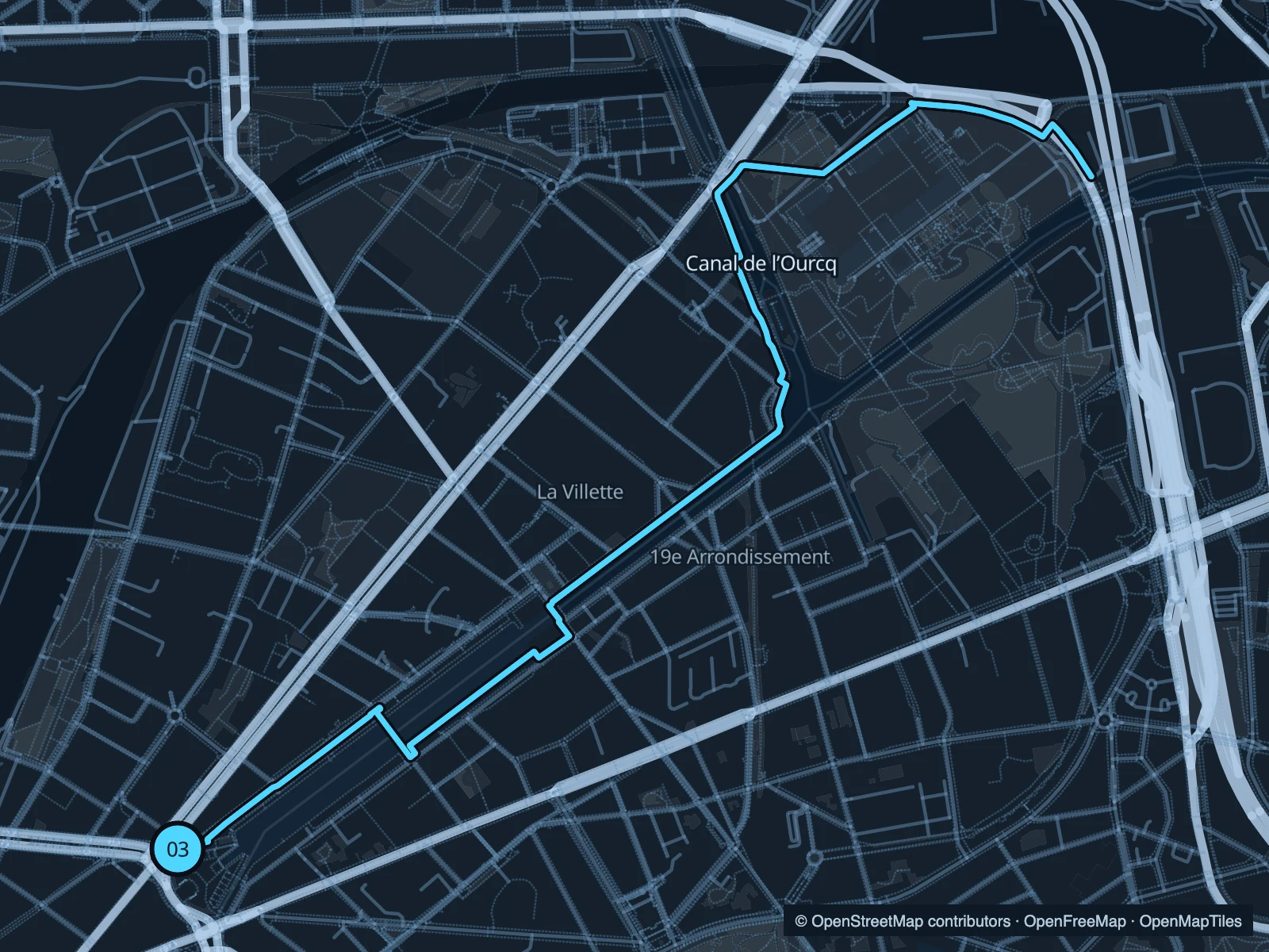
Map of the 6.2 km Bassin de la Villette & Canal de l’Ourcq run, with start and finish marked 03.
03 Out & backOpen full-size map
Approx. distance6.2 km
Underfoot

Paved quays and shared paths

03

Start here

At the southern end of Bassin de la Villette, by Place de la Bataille de Stalingrad.

Head northeast along the basin and canal towards Parc de la Villette, then return.

Getting there

Walk from Jaurès or Stalingrad metro station to the basin.

Before you go

Keep an easy pace around narrow bridges and busy waterside terraces.

Park / route information

Get running directions on your phone

Get running directions on your phone

Choose a distance and start at your hotel. RunFromHere plans a loop back to your door and guides you along it. Download the area’s map before you leave to use it offline.

The app generates its own routes from your chosen start; it doesn’t open the routes in this guide.

More places to run

Sources & route notes

Researched using the official visitor and park sources below; not checked on foot. Maps and GPX files use the same saved OpenStreetMap pedestrian paths. Distances are approximate. Check local notices for access, gate hours and diversions.

Researched