Skip to routes
RunFromHere
Get the app
English
Illustrated panorama of Palma in white linework.

Palma

Palma combines a central waterfront run with woodland trails around Bellver Castle and beach promenades at Can Pastilla. Pick the coast for gentler gradients or Bellver when you want hills and shade.

Get running directions on your phone

Find a route near your hotel

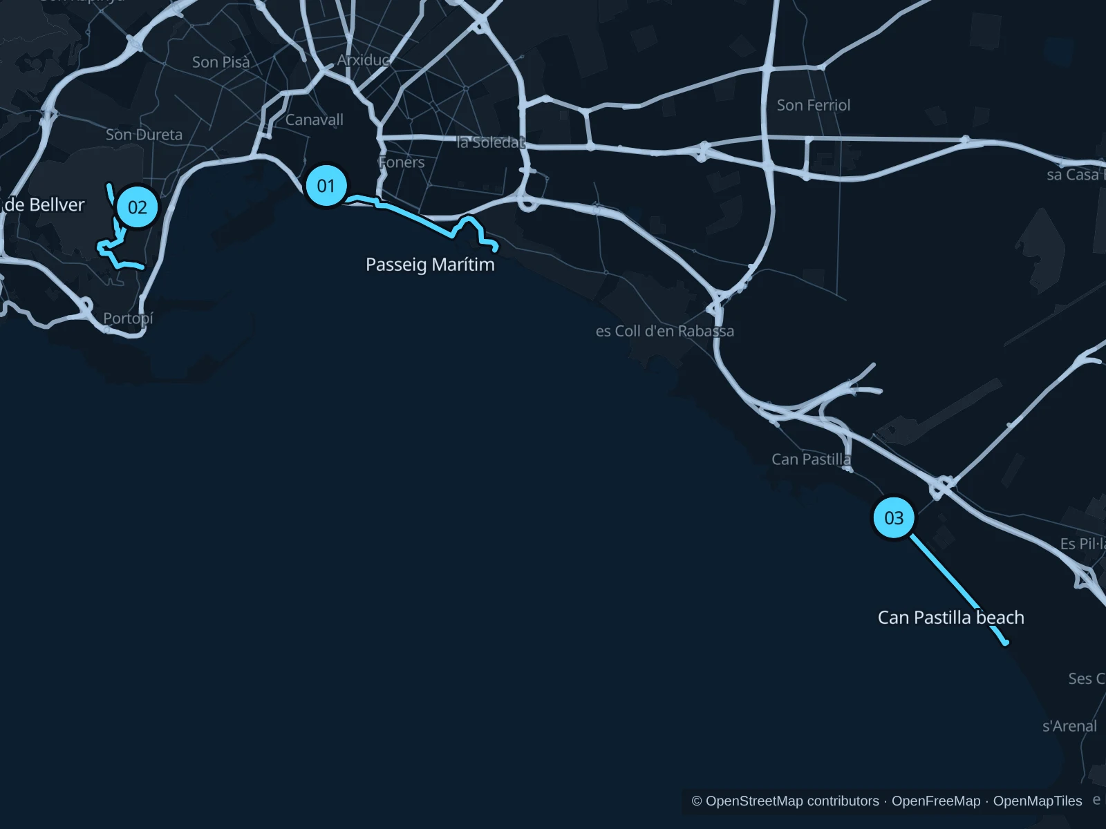
The numbers mark each start. Distances exclude the journey from your accommodation.

Map data: © OpenStreetMap contributors · OpenFreeMap · OpenMapTiles

Where to run in Palma

Passeig Marítim · cathedral to Portixol

A central seafront run below the cathedral toward the fishing neighborhood of Portixol.
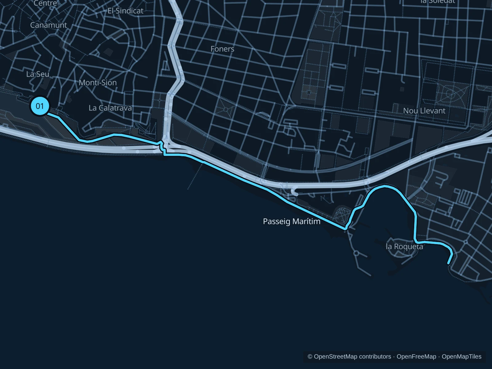
Map of the 5.2 km Passeig Marítim · cathedral to Portixol run, with start and finish marked 01.
01 Out & backOpen full-size map
Approx. distance5.2 km
Underfoot

Paved paths

01

Start here

Public waterfront path below Parc de la Mar, outside the marina gates.

Follow the mapped route toward the Portixol waterfront, then return the same way.

Getting there

Walk down from the old town to Parc de la Mar and the public seafront crossing.

Before you go

Keep to pedestrian sections beside the cycle track. Port works and events can change access; follow the signed public route.

Park / route information

Get running directions on your phone
Bosc de Bellver

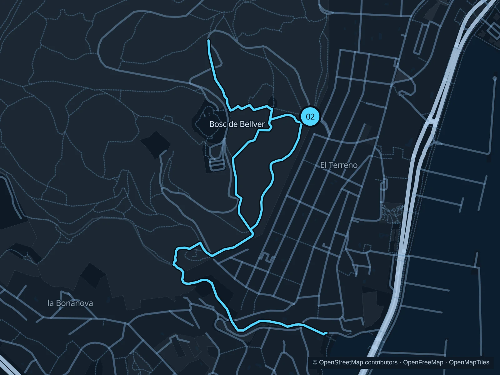
A woodland circuit on the Bellver hillside, staying outside the ticketed castle grounds.

Map of the 4.1 km Bosc de Bellver run, with start and finish marked 02.
02 LoopOpen full-size map
Approx. distance4.1 km
Underfoot

Woodland paths

02

Start here

Public path on the eastern forest approach to Bellver Castle, outside the castle grounds.

Circle the public woodland paths west and south of the castle, returning to the eastern approach.

Getting there

Travel to El Terreno and walk uphill to the signed forest entrance.

Before you go

Expect hills, loose stones and steps. Keep to public forest paths and respect fire-risk or weather closures.

Park / route information Park / route information

Get running directions on your phone

Can Pastilla & Platja de Palma

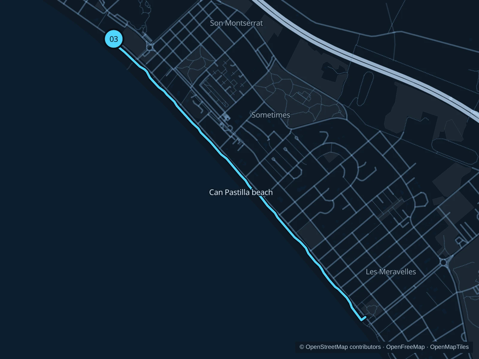
A promenade run beside the beach hotels, farther from the old town.

Map of the 4.1 km Can Pastilla & Platja de Palma run, with start and finish marked 03.
03 Out & backOpen full-size map
Approx. distance4.1 km
Underfoot

Paved paths

03

Start here

Public promenade at the beach access by Palma Aquarium, outside the aquarium.

Follow the mapped route southeast on the Platja de Palma promenade toward the beach hotels, then return the same way.

Getting there

Take public transport toward Palma Aquarium, then walk to the public beach promenade.

Before you go

Go early in summer, carry water and keep the cycle lane clear. Beach access points and café terraces interrupt the flow.

Park / route information

Get running directions on your phone

Get running directions on your phone

Choose a distance and start at your hotel. RunFromHere plans a loop back to your door and guides you along it. Download the area’s map before you leave to use it offline.

The app generates its own routes from your chosen start; it doesn’t open the routes in this guide.

More places to run

Cross Parc & UIB

The official running guide describes a flat dirt-track route around Parc Bit, Son Espanyol and Son Mayol to the UIB campus. You’ll need to get there separately; avoid the midday heat in summer.

Park / route information

Parc de la Mar

Paths below the cathedral are good for a warm-up; expect crowds of visitors crossing and events around the lake.

Park / route information

Sources & route notes

Researched using the official visitor and park sources below; not checked on foot. Maps and GPX files use the same saved OpenStreetMap pedestrian paths. Distances are approximate. Check local notices for access, gate hours and diversions.

Researched