Skip to routes
RunFromHere
Get the app
English
Illustrated panorama of Oslo in white linework.

Oslo

Oslo puts urban river paths, a central sculpture park and a forest lake within easy reach of a city stay. Akerselva is the longest run, Frognerparken a circuit through the park and along its edges, and Sognsvann a compact lakeside loop reached by metro. Conditions change sharply with the seasons: check ice, daylight and current path notices.

Get running directions on your phone

Find a route near your hotel

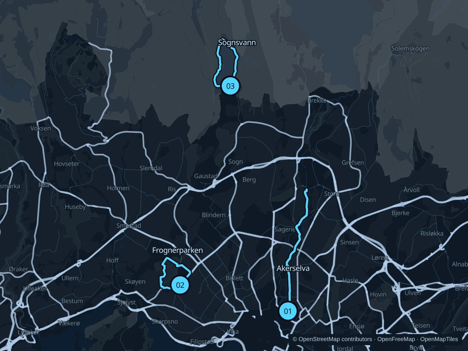
The numbers mark each start. Distances exclude the journey from your accommodation.

Map data: © OpenStreetMap contributors · OpenFreeMap · OpenMapTiles

Where to run in Oslo

Akerselva · river paths

A longer urban out-and-back beside waterfalls, old industrial buildings and neighborhood parks.
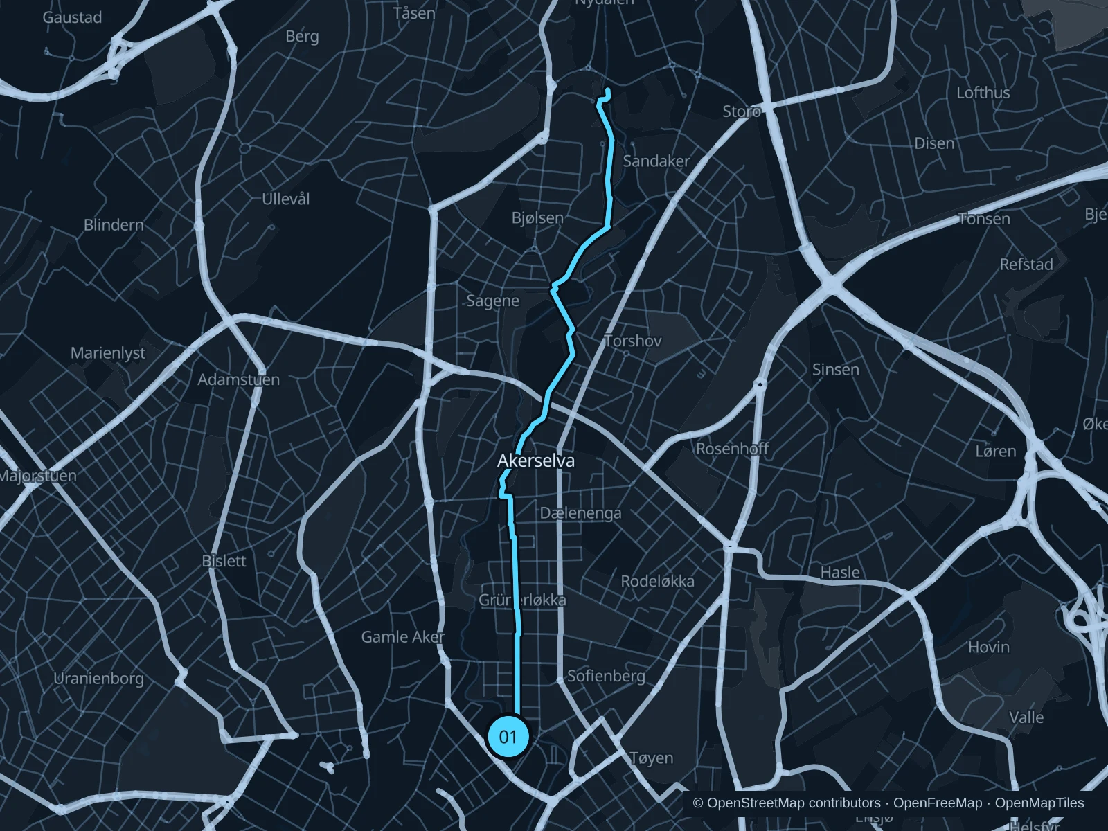
Map of the 7.4 km Akerselva · river paths run, with start and finish marked 01.
01 Out & backOpen full-size map
Approx. distance7.4 km
Underfoot

Paved and unpaved river paths, bridges and street crossings

01

Start here

On the public river path near Torggata and Ankerbrua.

Follow the saved paths upstream through the river parks toward Bjølsen, using the public bridges and sidewalks on the saved route, then retrace your steps.

Getting there

Walk from central hotels toward Ankerbrua or use public transport to the Grünerløkka area.

Before you go

The river corridor climbs and changes banks. Slow down at crossings and wet waterfall-side paths; winter ice can make an otherwise easy section unsuitable.

Park / route information

Get running directions on your phone
Frognerparken · park and perimeter loop

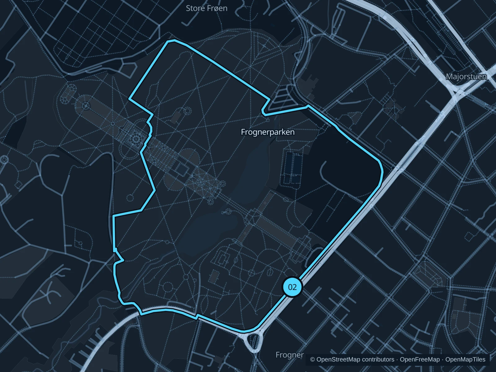
A circuit on green park paths and footpaths along the northern edge, with the Vigeland sculptures close by.

Map of the 2.7 km Frognerparken · park and perimeter loop run, with start and finish marked 02.
02 LoopOpen full-size map
Approx. distance2.7 km
Underfoot

Paved and gravel paths, connecting sidewalks and some steps

02

Start here

At the public park approach near the southeastern Kirkeveien entrance.

Follow the saved eastern and northern paths, continue through the western park paths and return along the southern side.

Getting there

Use tram or bus stops by Frognerparken, or walk from Majorstuen on public sidewalks.

Before you go

The circuit includes short stretches along the road and some steps. Stay out of the fenced pool and sports areas, slow down near sculpture visitors and use crossings rather than cutting through traffic.

Park / route information

Get running directions on your phone

Sognsvann · lake circuit

A compact forest-lake circuit on the established shore paths, away from city traffic.

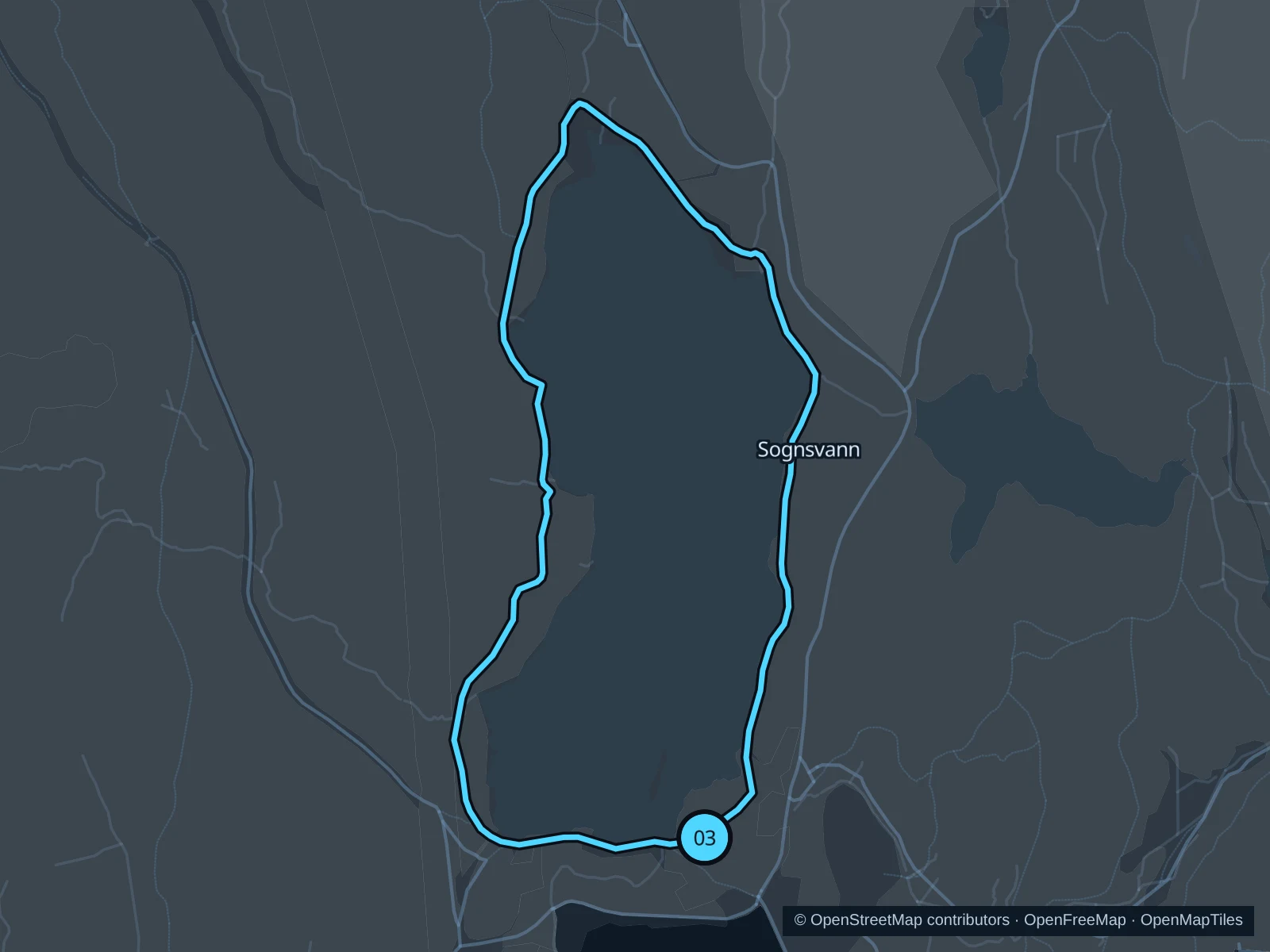
Map of the 3.1 km Sognsvann · lake circuit run, with start and finish marked 03.
03 LoopOpen full-size map
Approx. distance3.1 km
Underfoot

Mostly compacted gravel, with short paved and bridge sections

03

Start here

On the public southern lakeside path near the main Sognsvann approach.

Circle the lake on the saved shore paths, up the east side, around the northern end and down the west side.

Getting there

Take the metro to Sognsvann and walk north on the public paths to the lake.

Before you go

Use the pedestrian lake circuit rather than nearby ski or mountain-bike trails. Check winter footing and current snow conditions, and give walkers space on narrow bridges.

Park / route information

Get running directions on your phone

Get running directions on your phone

Choose a distance and start at your hotel. RunFromHere plans a loop back to your door and guides you along it. Download the area’s map before you leave to use it offline.

The app generates its own routes from your chosen start; it doesn’t open the routes in this guide.

More places to run

Ekebergparken

Wooded slopes, sculpture and city views southeast of the center. Choose established public paths, expect climbing and leave the sculptures and steep viewing edges plenty of space.

Park / route information

Huk & Bygdøy

The peninsula offers a different coastal and woodland setting. Use the public recreation paths around Huk and plan the bus journey separately; museum gardens and private estates are not general shortcuts.

Park / route information

Sources & route notes

Researched using the official visitor and park sources below; not checked on foot. Maps and GPX files use the same saved OpenStreetMap pedestrian paths. Distances are approximate. Check local notices for access, gate hours and diversions.

Researched