Skip to routes
RunFromHere
Get the app
English
Illustrated panorama of Osaka in white linework.

Osaka

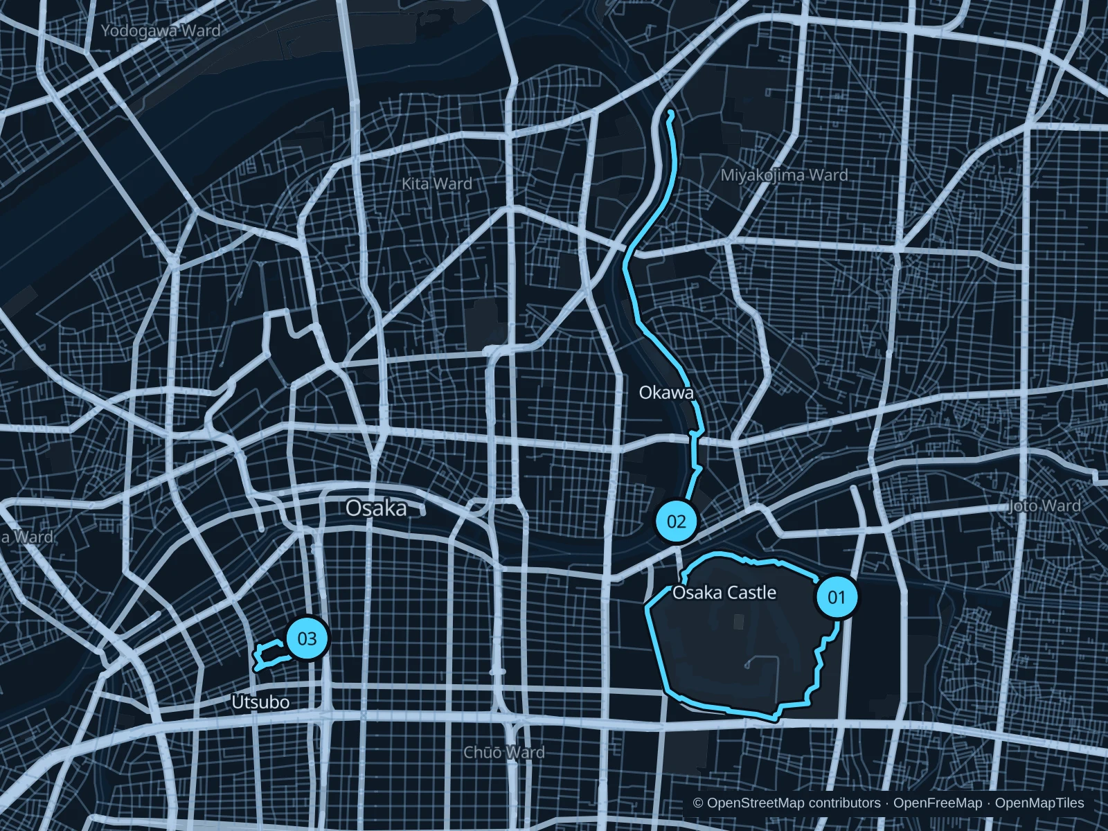
Osaka has room to run beyond its busy shopping streets: use the castle park for a larger circuit, the Okawa’s eastern bank for a longer riverside outing or Utsubo’s gardens for short laps near the business district. Run early in summer and give park visitors space.

Get running directions on your phone

Find a route near your hotel

The numbers mark each start. Distances exclude the journey from your accommodation.

Map data: © OpenStreetMap contributors · OpenFreeMap · OpenMapTiles

Where to run in Osaka

Osaka Castle Park

A park circuit with moat views and broad public paths around the castle grounds.
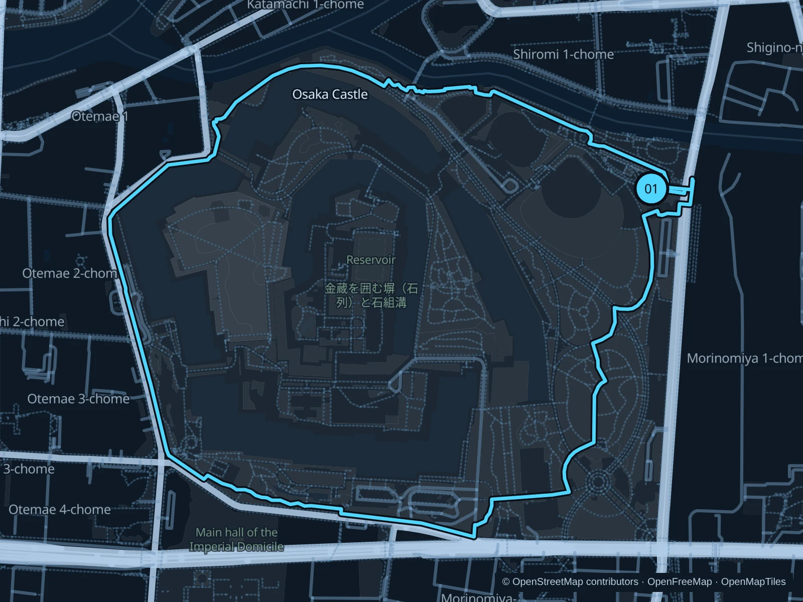
Map of the 4.3 km Osaka Castle Park run, with start and finish marked 01.
01 LoopOpen full-size map
Approx. distance4.3 km
Underfoot

Paved pedestrian paths

01

Start here

On the public park path beside JO-TERRACE OSAKA, west of Osakajōkōen station.

Follow the connected public paths around the northern, western and southern moat areas, then return through the eastern park to JO-TERRACE. Stay outside the ticketed garden and castle museum.

Getting there

From JR Osakajōkōen station, use the public pedestrian approach west toward JO-TERRACE and the park.

Before you go

The public park is separate from the ticketed castle museum and Nishinomaru Garden. Slow to a walk near crowded gates, event queues and photo spots; expect heat and humidity in summer.

Park / route information

Get running directions on your phone
Okawa · Kema Sakuranomiya Park

A longer riverside run on the eastern bank, away from the busiest central shopping streets.

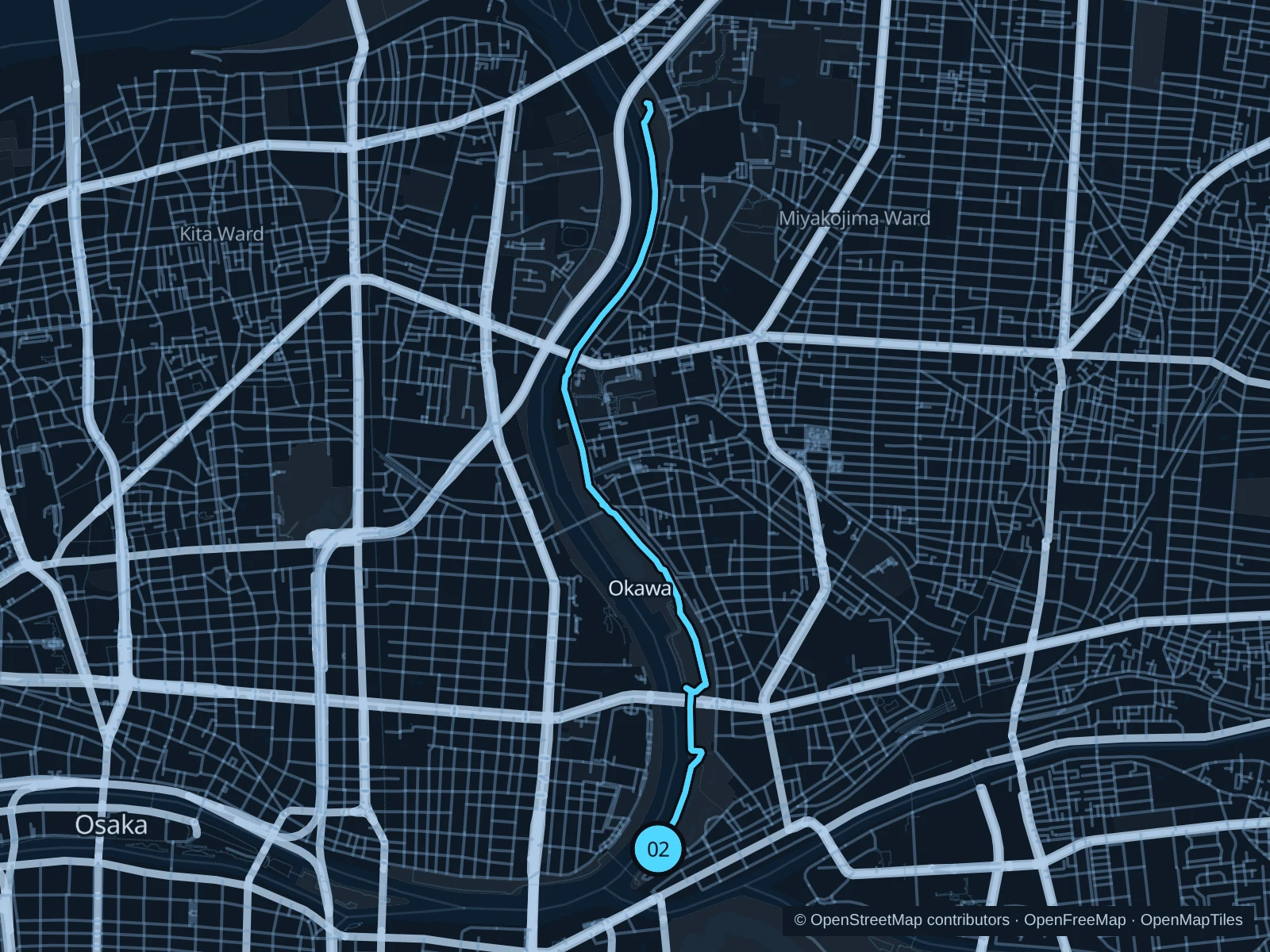
Map of the 6.1 km Okawa · Kema Sakuranomiya Park run, with start and finish marked 02.
02 Out & backOpen full-size map
Approx. distance6.1 km
Underfoot

Paved paths and compacted natural surfaces

02

Start here

On the public riverside path near the eastern end of Kawasaki Bridge.

Follow the public east-bank paths north, passing the Sakuranomiya and Genpachi bridge areas and continuing through the northern park. Turn at the marked path junction south of Kema Bridge and return along the same bank.

Getting there

From JR Osakajō-kitazume station, walk through the public streets to the east-bank park at Kawasaki Bridge. The approach is outside the mapped run.

Before you go

Check rain, flood and maintenance notices before using the lower river paths. Stay on the public bank, give walkers and cyclists room and slow to a walk through cherry-blossom crowds.

Park / route information

Get running directions on your phone

Utsubo Park

Two short laps in the eastern public garden section, convenient for a run between meetings.

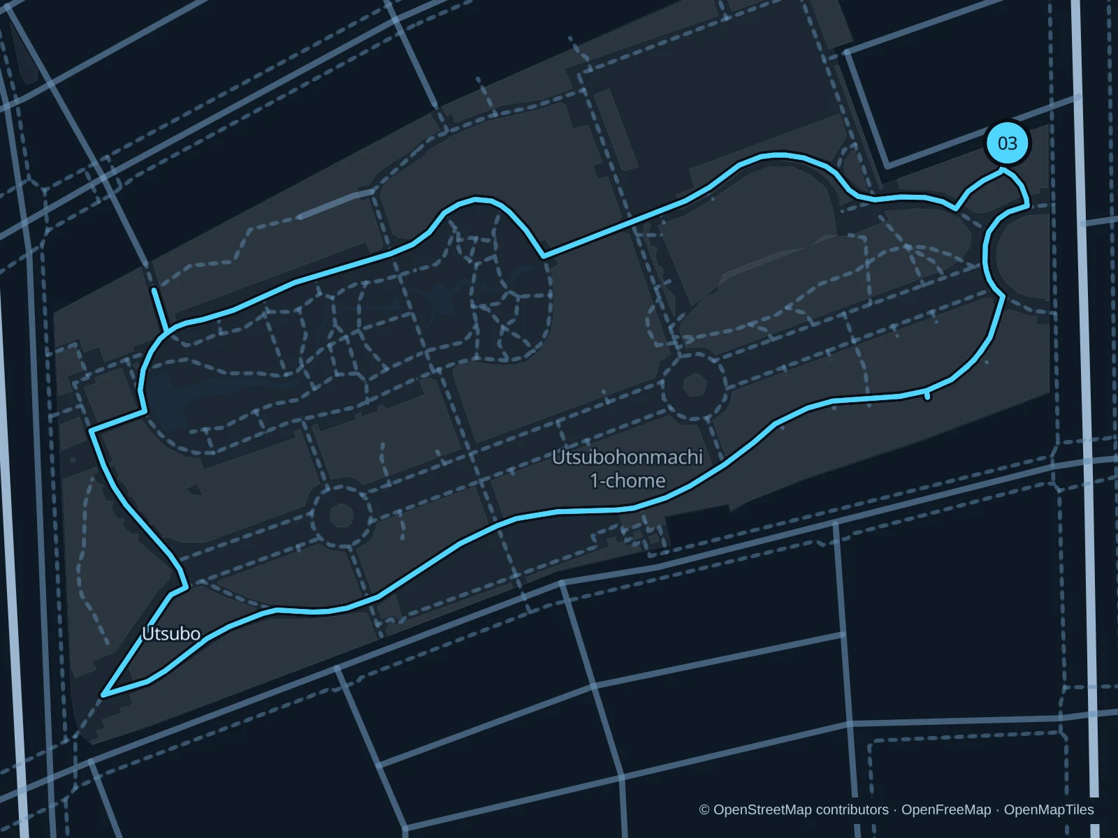
Map of the 1.9 km Utsubo Park run, with start and finish marked 03.
03 LoopOpen full-size map
Approx. distance1.9 km
Underfoot

Paved pedestrian paths

03

Start here

On the public garden path inside the eastern entrance from Yotsubashi-suji.

Run two laps of the connected public loop around the eastern gardens. Return to the eastern entrance after each lap; the saved GPX includes both laps.

Getting there

From Hommachi metro station, walk north along Yotsubashi-suji to the park’s eastern public entrance.

Before you go

Slow to a walk around busy flower beds, play areas and garden visitors. This route stays in the eastern public park and does not enter the tennis courts in the western section.

Park / route information

Get running directions on your phone

Get running directions on your phone

Choose a distance and start at your hotel. RunFromHere plans a loop back to your door and guides you along it. Download the area’s map before you leave to use it offline.

The app generates its own routes from your chosen start; it doesn’t open the routes in this guide.

More places to run

Nakanoshima Park

The central island’s public park paths offer another short riverside outing near Kitahama. Slow down around the rose gardens, restaurant terraces and pedestrians.

Park / route information

Nagai Park

The sports park south of the center offers a separate training outing. Use the public park paths; stadiums, the botanical garden and special events have their own access arrangements.

Park / route information

Sources & route notes

Researched using the official visitor and park sources below; not checked on foot. Maps and GPX files use the same saved OpenStreetMap pedestrian paths. Distances are approximate. Check local notices for access, gate hours and diversions.

Researched