Skip to routes
RunFromHere
Get the app
English
Illustrated panorama of Orlando in white linework.

Orlando

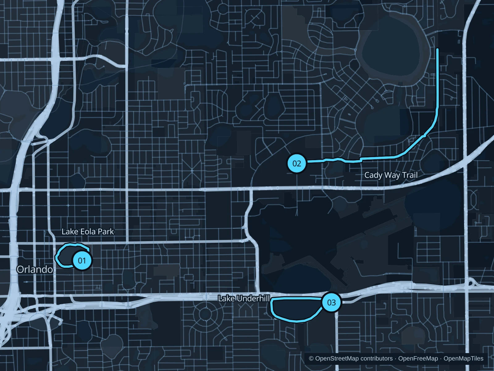
Orlando’s public lakes and trails offer a break from theme-park paths and hotel treadmills. Lake Eola fits a short downtown outing; the Cady Way Trail makes for a longer run, while Lake Underhill adds open-water views near Orlando Executive Airport.

Get running directions on your phone

Find a route near your hotel

The numbers mark each start. Distances exclude the journey from your accommodation.

Map data: © OpenStreetMap contributors · OpenFreeMap · OpenMapTiles

Where to run in Orlando

Lake Eola Park

A short paved lakeside loop sits among downtown’s offices, restaurants and swan boats.
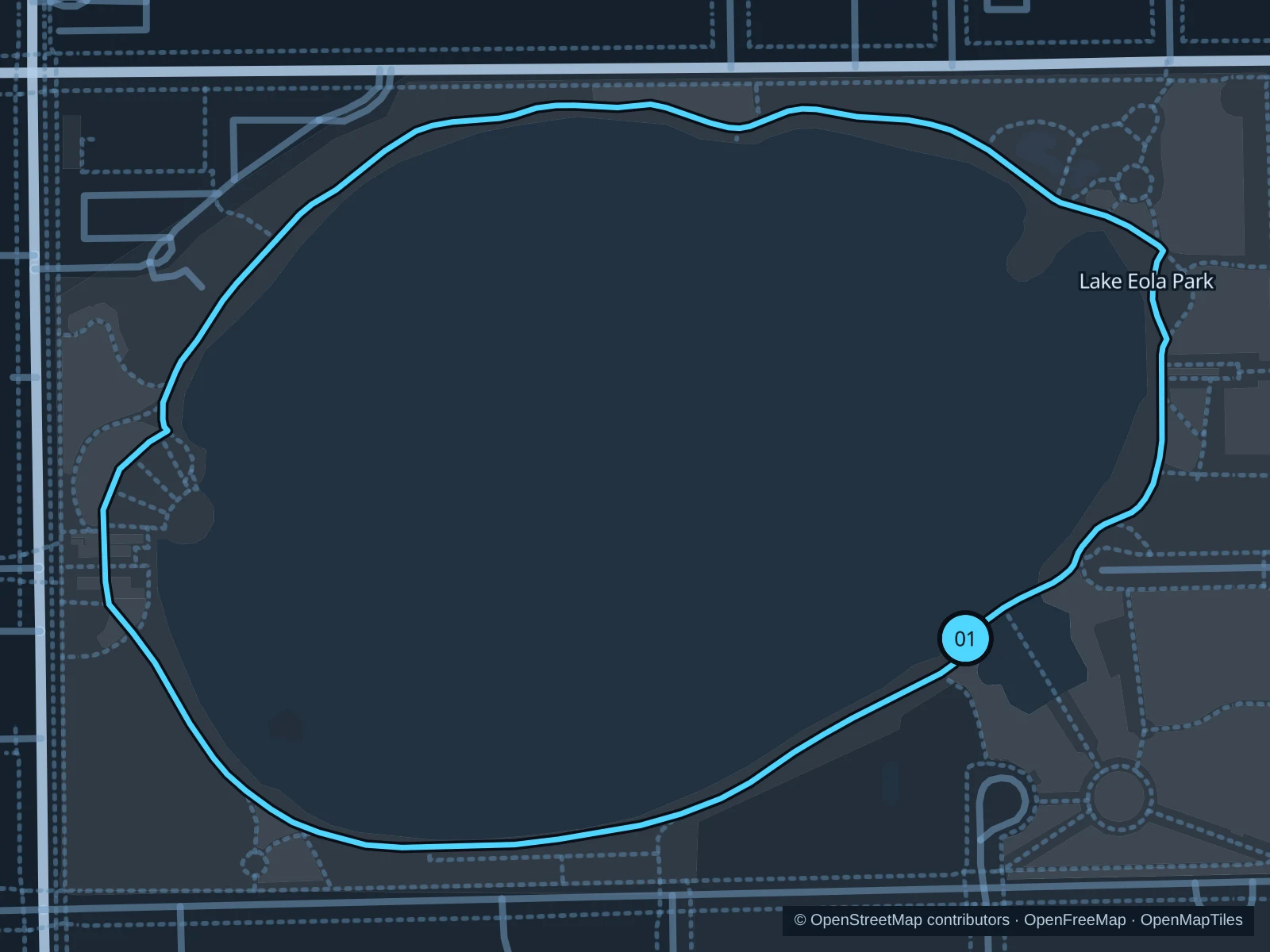
Map of the 1.4 km Lake Eola Park run, with start and finish marked 01.
01 LoopOpen full-size map
Approx. distance1.4 km
Underfoot

Paved pedestrian paths

01

Start here

On the lakeside path beside Eola House.

Follow the public sidewalk around the lake and return to the Eola House side.

Getting there

Take a local bus to Central Boulevard, then walk to the lakeside path beside Eola House.

Before you go

Give swans space and walk through markets or crowded event areas.

Park / route information

Get running directions on your phone
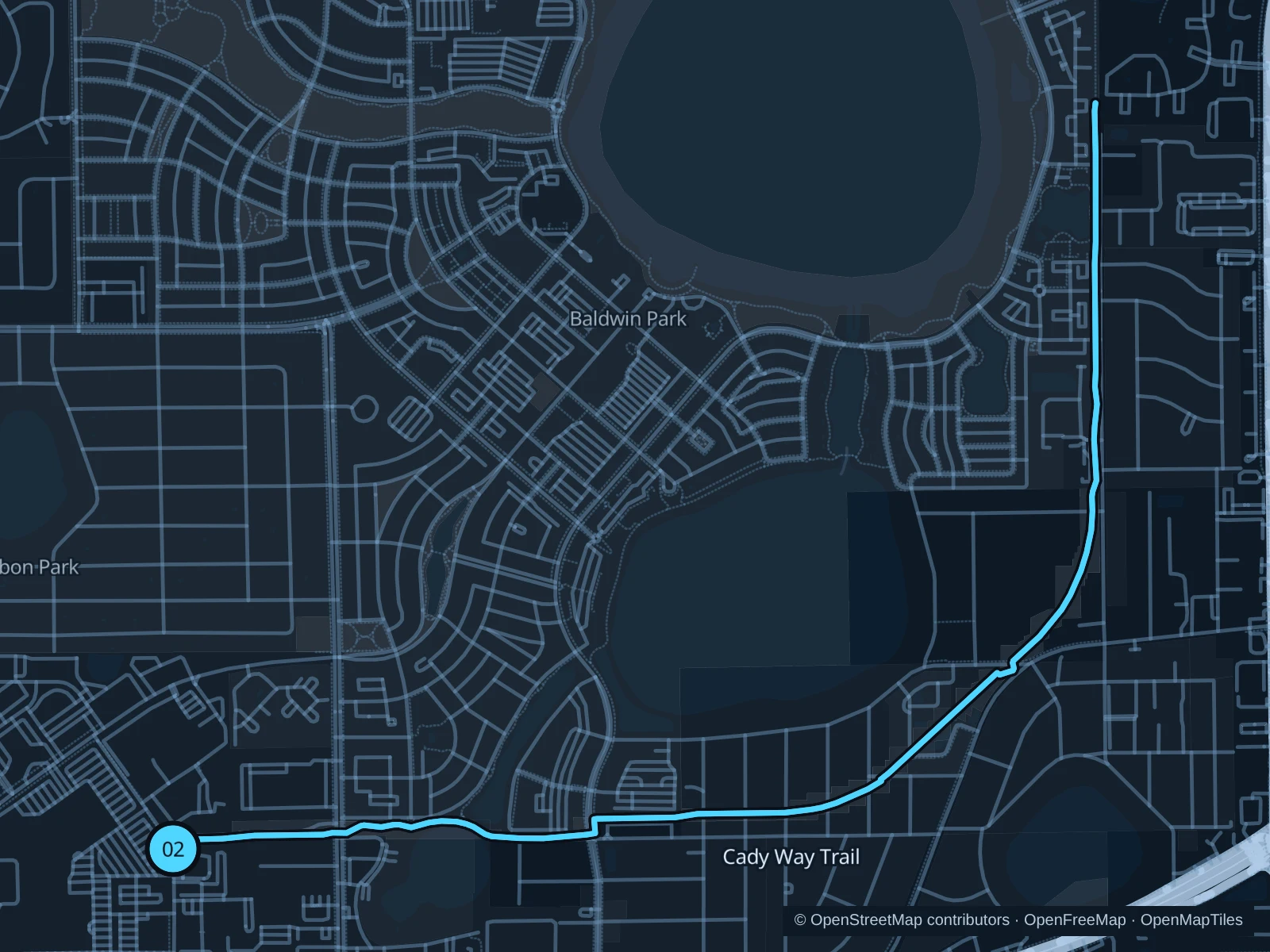
Cady Way Trail

A longer paved rail-trail passes neighborhood parks northeast of downtown.

Map of the 7.1 km Cady Way Trail run, with start and finish marked 02.
02 Out & backOpen full-size map
Approx. distance7.1 km
Underfoot

Paved paths shared with walkers and cyclists

02

Start here

At the public Cady Way Trail entrance east of Fashion Square.

Follow the Cady Way Trail northeast to the path junction just south of Century 21 Boulevard, then return along the same pedestrian route.

Getting there

Take a local bus or taxi to the Fashion Square area on Colonial Drive, then walk to the public trail entrance east of the shopping center.

Before you go

Use the pedestrian side wherever the trail separates walkers and cyclists, and stop at road crossings.

Park / route information

Get running directions on your phone

Lake Underhill

A neighborhood lake loop with open-water views and a pedestrian section along a bridge near Orlando Executive Airport.

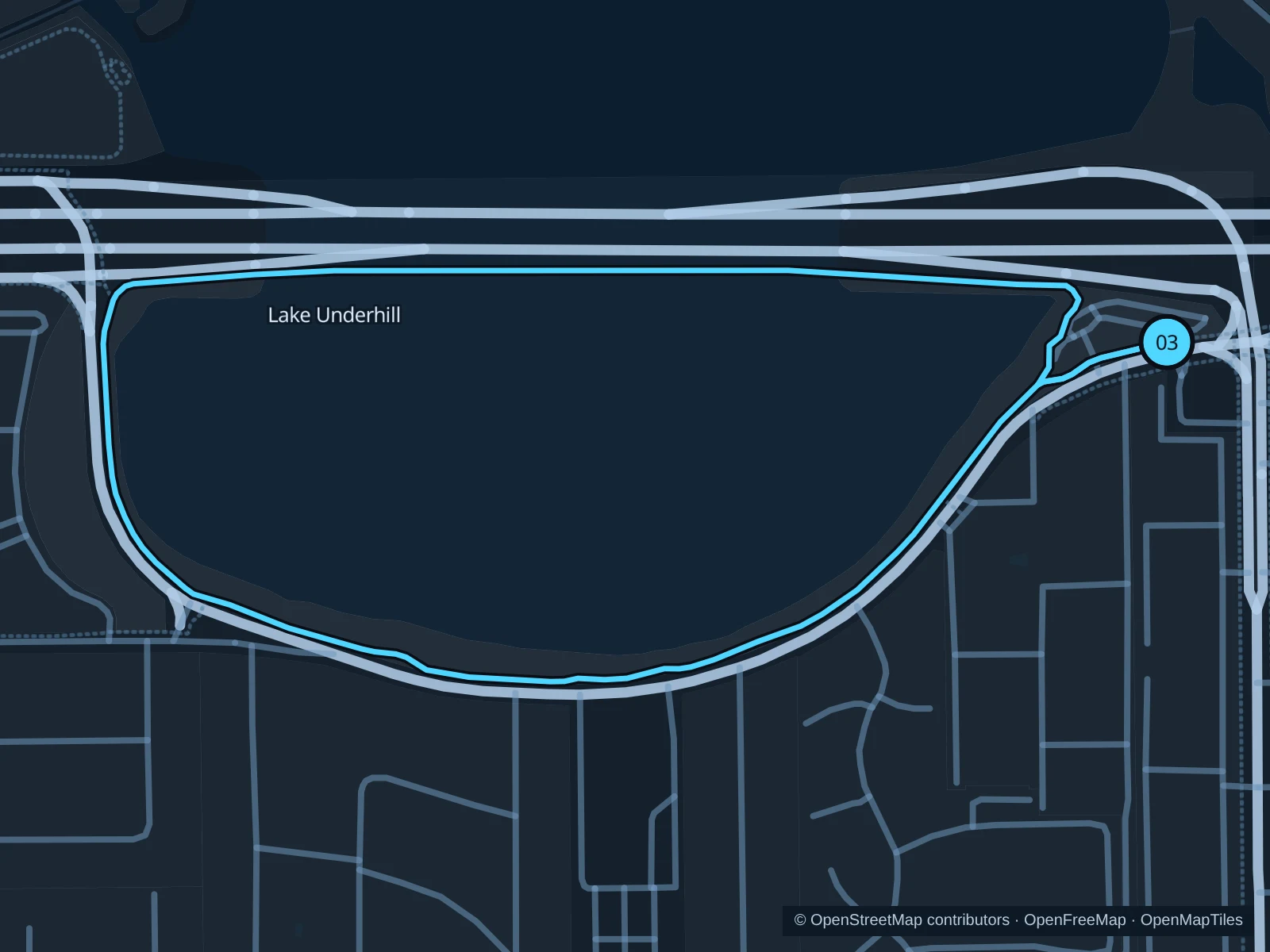
Map of the 2.3 km Lake Underhill run, with start and finish marked 03.
03 LoopOpen full-size map
Approx. distance2.3 km
Underfoot

Paved pedestrian paths

03

Start here

On the public path at Lake Underhill Park, 4355 Lake Underhill Road.

Circle the lake using the public walking path and bridge-side pedestrian section, then return to the park.

Getting there

Take a local bus or taxi to Lake Underhill Park, then join the public lakeside path.

Before you go

Bicycles aren’t allowed on the bridge-side walking path. Follow the pedestrian route and give boat-ramp users space.

Park / route information

Get running directions on your phone

Get running directions on your phone

Choose a distance and start at your hotel. RunFromHere plans a loop back to your door and guides you along it. Download the area’s map before you leave to use it offline.

The app generates its own routes from your chosen start; it doesn’t open the routes in this guide.

More places to run

Orlando Urban Trail

The corridor through Loch Haven Park is another option. Check current detours around Lake Highland and Virginia Drive before setting out.

Park / route information

Shingle Creek Trail

Eagle Nest Park provides access to a separate multi-use trail in the southwest. Check the current city map; the regional network is still a work in progress.

Park / route information

Sources & route notes

Researched using the official visitor and park sources below; not checked on foot. Maps and GPX files use the same saved OpenStreetMap pedestrian paths. Distances are approximate. Check local notices for access, gate hours and detours.

Researched