Skip to routes
RunFromHere
Get the app
English
Illustrated panorama of Nuremberg in white linework.

Nuremberg

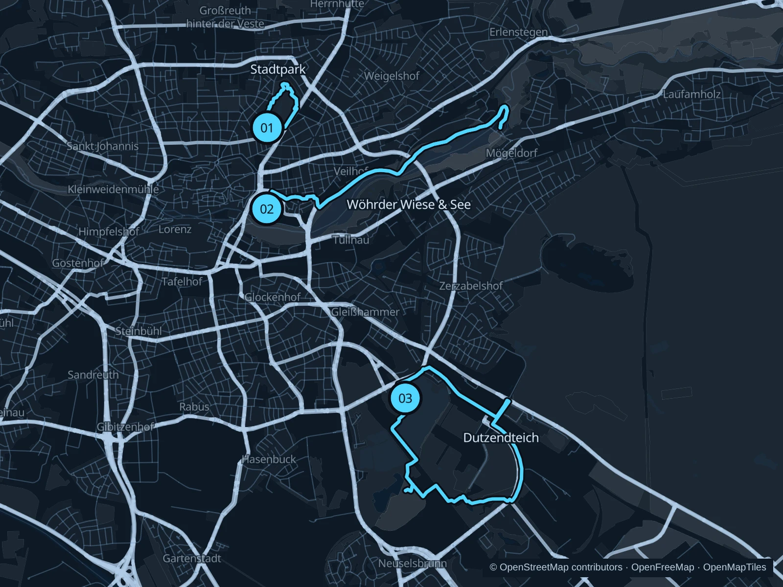
Follow the Pegnitz from the old town toward Wöhrder See, choose Stadtpark for a short green run, or head south to Dutzendteich for a longer lakeside outing.

Get running directions on your phone

Find a route near your hotel

The numbers mark each start. Distances exclude the journey from your accommodation.

Map data: © OpenStreetMap contributors · OpenFreeMap · OpenMapTiles

Where to run in Nuremberg

Stadtpark

A compact park circuit without the longer approach to the lakes.
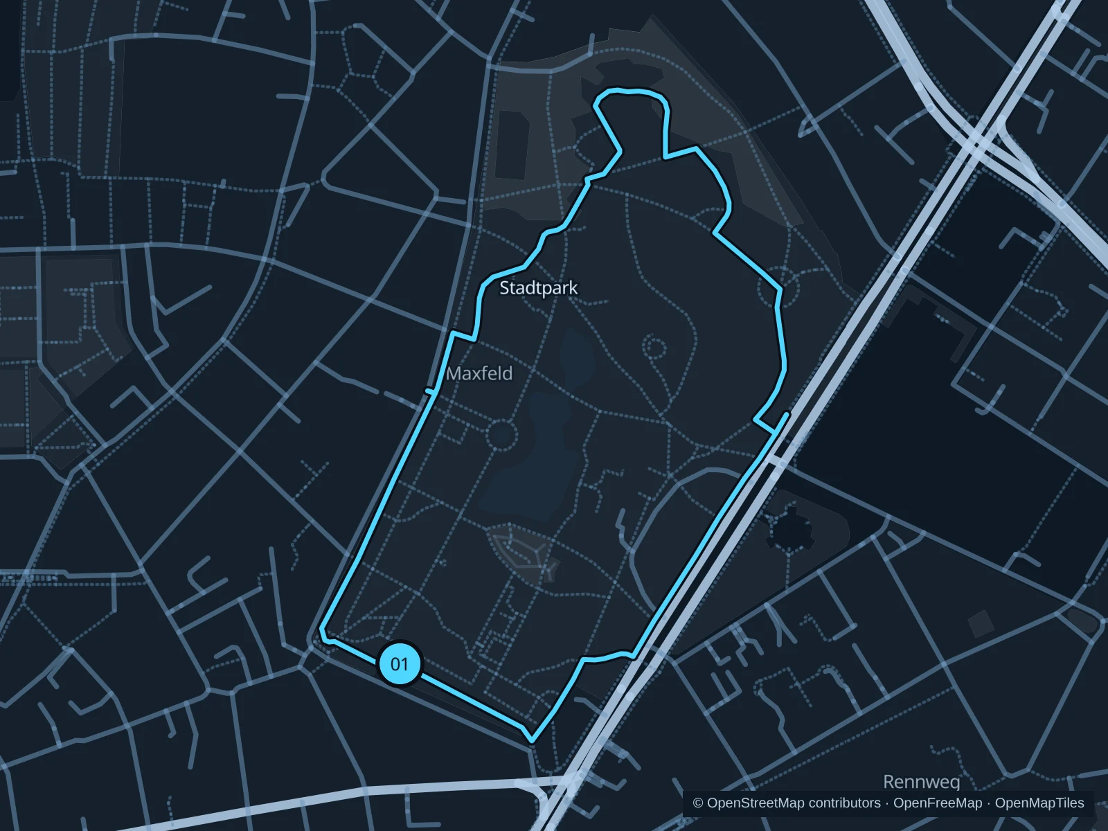
Map of the 1.8 km Stadtpark run, with start and finish marked 01.
01 LoopOpen full-size map
Approx. distance1.8 km
Underfoot

Park paths, paved and unpaved

01

Start here

Southern park path at Bayreuther Straße.

Circle the garden paths past the lawns and pond, returning to the southern entrance.

Getting there

Walk from Rennweg U-Bahn station toward the park.

Before you go

Expect dogs and families around the pond; shaded bends can be slippery after rain.

Park / route information

Get running directions on your phone
Wöhrder Wiese & See

River meadows lead to a longer lakeside run, with more space than the old-town paths.

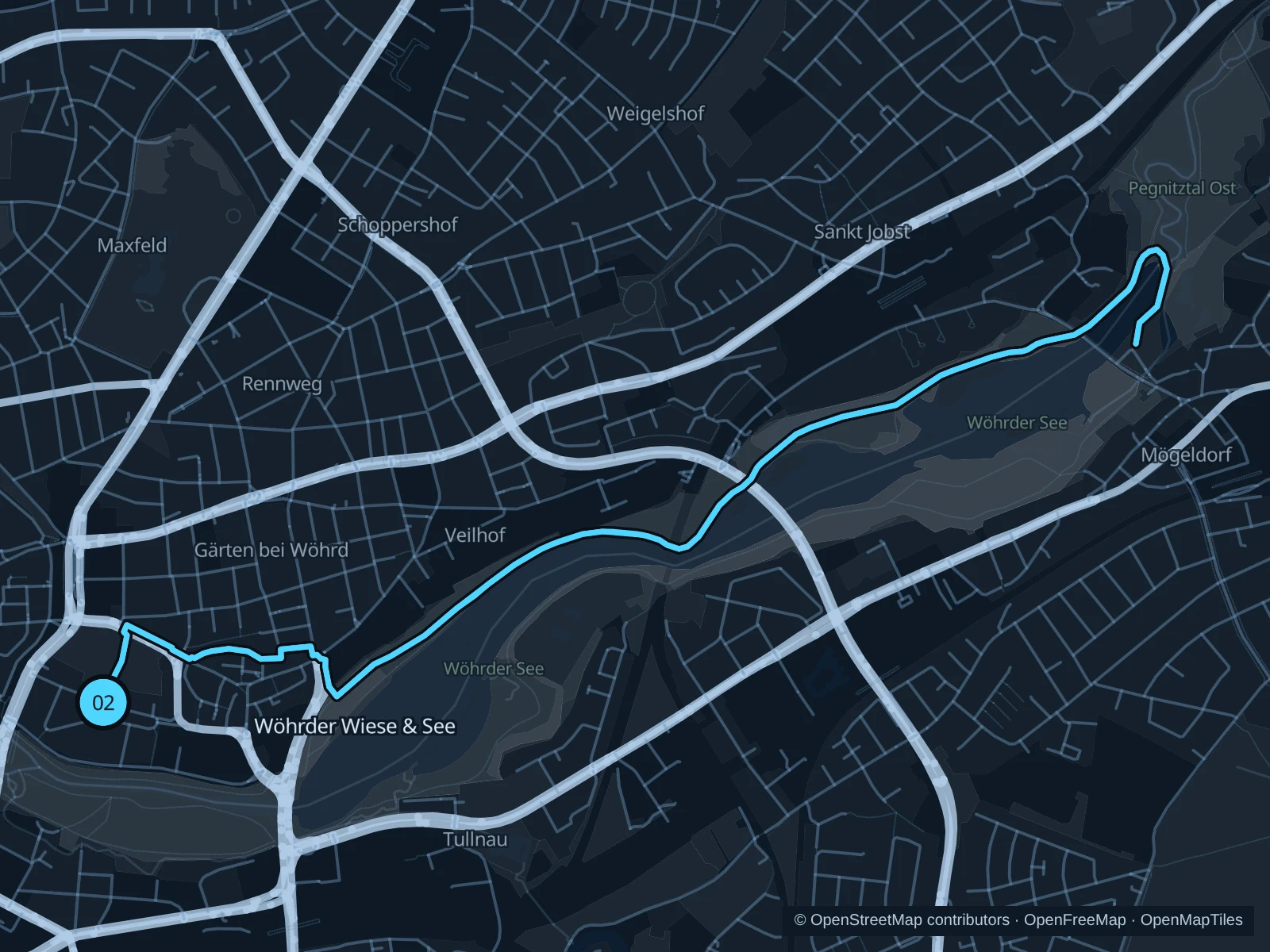
Map of the 8.0 km Wöhrder Wiese & See run, with start and finish marked 02.
02 Out & backOpen full-size map
Approx. distance8.0 km
Underfoot

Park paths, paved and unpaved

02

Start here

Pegnitz-side path by Wöhrder Wiese U-Bahn.

Follow the mapped paths east along Wöhrder See towards Satzinger Mühle, turning at the marked lake path and returning the same way.

Getting there

Walk from Wöhrder Wiese station to the riverside paths.

Before you go

Shared paths narrow near bridges and the beach. Stay on pedestrian sections and turn back at closures. Slow to a walk at gates and barriers.

Park / route information

Get running directions on your phone

Dutzendteich

Lakes and parkland beside the former rally grounds offer a substantial run south of town.

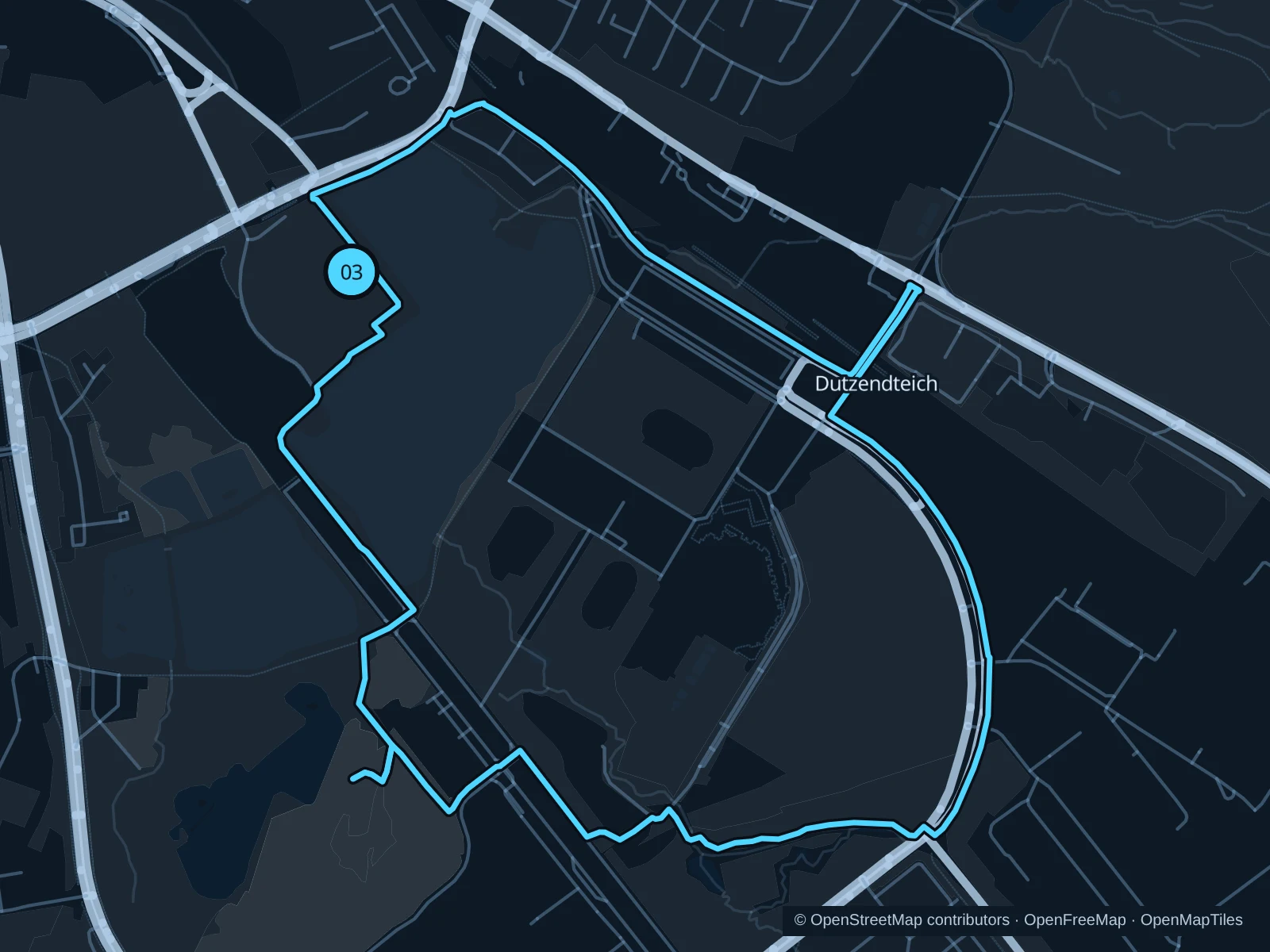
Map of the 6.8 km Dutzendteich run, with start and finish marked 03.
03 LoopOpen full-size map
Approx. distance6.8 km
Underfoot

Park paths, paved and unpaved

03

Start here

Public lakeside path near Dutzendteich station.

Follow the public paths around the lake and southern parkland, staying outside the event grounds on the way back.

Getting there

Walk from Nürnberg-Dutzendteich station toward the lake.

Before you go

Rock im Park and other events can fence off paths. Follow local diversions and avoid vehicle access roads.

Park / route information

Get running directions on your phone

Get running directions on your phone

Choose a distance and start at your hotel. RunFromHere plans a loop back to your door and guides you along it. Download the area’s map before you leave to use it offline.

The app generates its own routes from your chosen start; it doesn’t open the routes in this guide.

More places to run

Sources & route notes

Researched using the official visitor and park sources below; not checked on foot. Maps and GPX files use the same saved OpenStreetMap pedestrian paths. Distances are approximate. Check local notices for access, gate hours and diversions.

Researched