Skip to routes
RunFromHere
Get the app
English
Illustrated panorama of New York in white linework.

New York

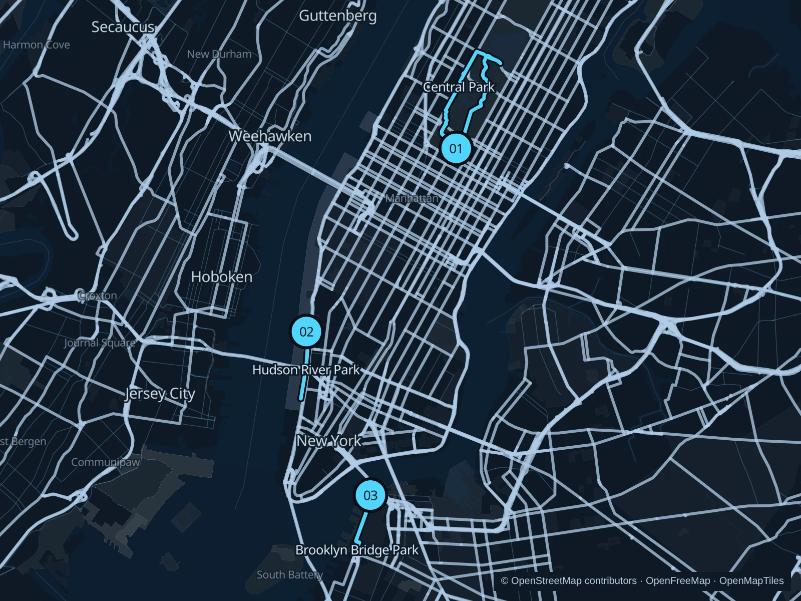
Central Park offers shaded paths north of Midtown and beside the Upper West Side. For a flatter run, use the Hudson esplanade or cross to Brooklyn for views across the East River.

Get running directions on your phone

Find a route near your hotel

The numbers mark each start. Distances exclude the journey from your accommodation.

Map data: © OpenStreetMap contributors · OpenFreeMap · OpenMapTiles

Where to run in New York

Central Park · southern and mid-park paths

A longer park circuit linking Sheep Meadow, the western paths and the landscapes of mid-park.
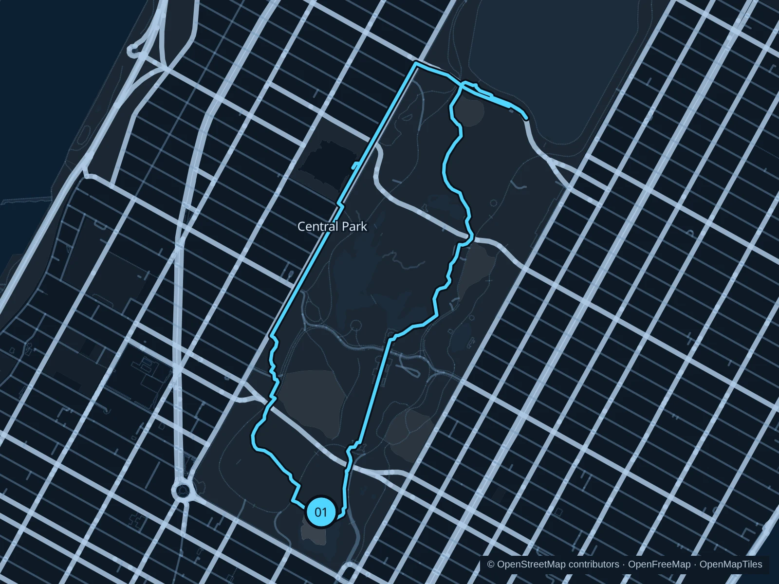
Map of the 5.9 km Central Park · southern and mid-park paths run, with start and finish marked 01.
01 LoopOpen full-size map
Approx. distance5.9 km
Underfoot

Paved paths, sidewalks and steps

01

Start here

On the path beside the Dairy Visitor Center.

Head north on the western paths toward the Reservoir’s south side, then return by the eastern paths and Bethesda Terrace.

Getting there

Walk into the park from Fifth Avenue/59th Street or Columbus Circle.

Before you go

Use marked crossings at park drives, walk rather than run on steps and avoid the Reservoir track while it is under maintenance.

Park / route information Park / route information

Get running directions on your phone
Hudson River Park Esplanade

A level waterfront option beside former working piers, convenient for West Village hotels.

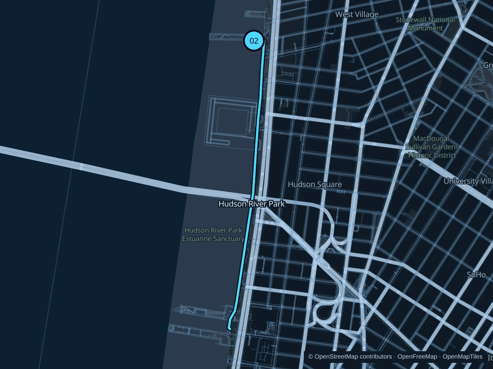
Map of the 2.9 km Hudson River Park Esplanade run, with start and finish marked 02.
02 Out & backOpen full-size map
Approx. distance2.9 km
Underfoot

Paved pedestrian paths

02

Start here

On the esplanade at the Christopher Street approach.

Follow Hudson River Park Esplanade to Pier 26, then return along the same path.

Getting there

Walk west from Christopher Street station to the river.

Before you go

Stay on pedestrian paths, follow posted signs at gates and avoid the parallel bike path.

Park / route information

Get running directions on your phone

Brooklyn Bridge Park Greenway

The Lower Manhattan skyline stays across the water as the route passes the park’s piers.

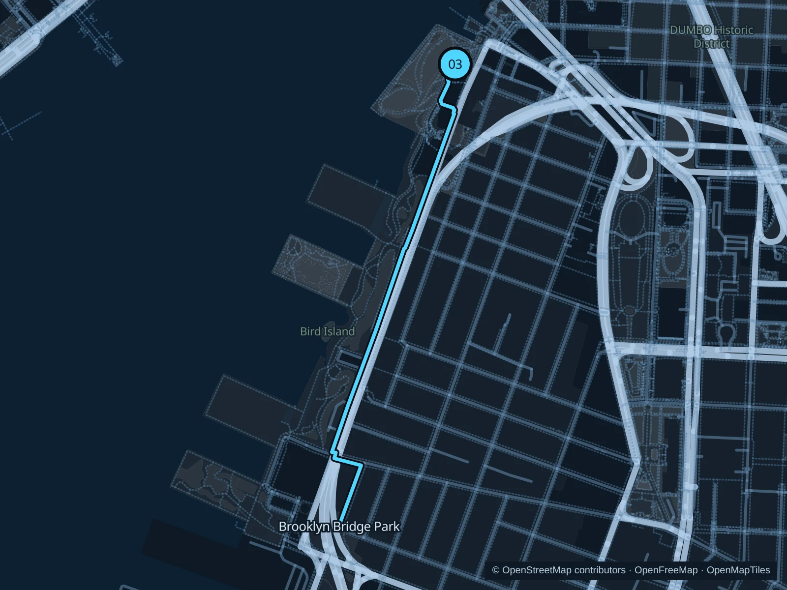
Map of the 2.6 km Brooklyn Bridge Park Greenway run, with start and finish marked 03.
03 Out & backOpen full-size map
Approx. distance2.6 km
Underfoot

Paved pedestrian paths

03

Start here

On the park path at Old Fulton Street, beside Pier 1.

Follow Brooklyn Bridge Park Greenway to Pier 6, then return along the same path.

Getting there

Walk downhill from High Street subway station toward Old Fulton Street.

Before you go

Share the Greenway carefully and slow down around ferry queues and pier entrances.

Park / route information

Get running directions on your phone

Get running directions on your phone

Choose a distance and start at your hotel. RunFromHere plans a loop back to your door and guides you along it. Download the area’s map before you leave to use it offline.

The app generates its own routes from your chosen start; it doesn’t open the routes in this guide.

More places to run

Central Park Reservoir

A longer northern extension; check for current track maintenance and follow the counterclockwise rule.

Park / route information

Hudson River Park · north of Christopher Street

Continue toward Chelsea for more riverside distance, checking pier access signs as you go.

Park / route information

Sources & route notes

Researched using the official visitor and park sources below; not checked on foot. Maps and GPX files use the same saved OpenStreetMap pedestrian paths. Distances are approximate. Check local notices for access, gate hours and diversions.

Researched