Skip to routes
RunFromHere
Get the app
English
Illustrated panorama of New Orleans in white linework.

New Orleans

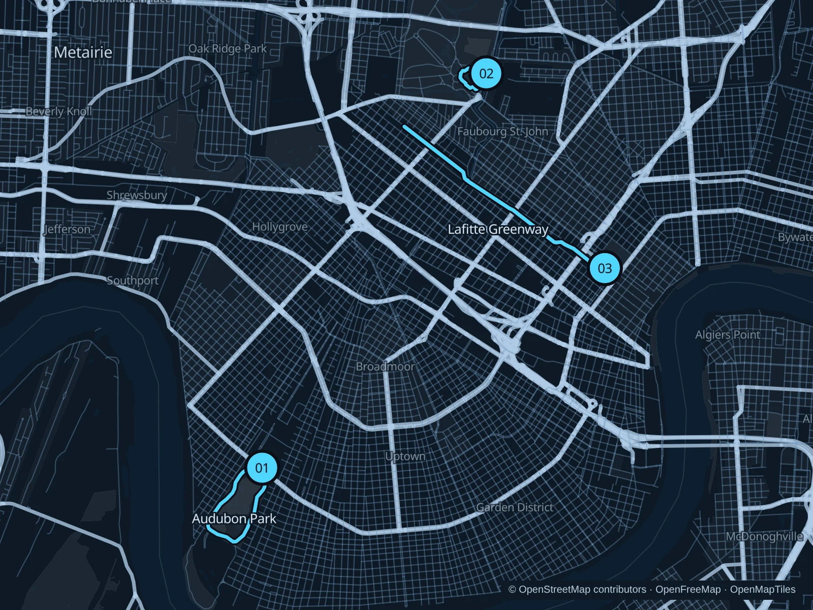
Audubon Park’s live oaks give Uptown a shaded running circuit. Big Lake offers a much shorter outing beside City Park’s museum district, while the Lafitte Greenway lets you stretch out between the edge of the French Quarter and Mid-City. Heat and humidity matter more than hills here.

Get running directions on your phone

Find a route near your hotel

The numbers mark each start. Distances exclude the journey from your accommodation.

Map data: © OpenStreetMap contributors · OpenFreeMap · OpenMapTiles

Where to run in New Orleans

Audubon Park · jogging path

A popular park circuit under live oaks, with lagoons and open lawns inside the loop. It is separate from the zoo and riverfront park.
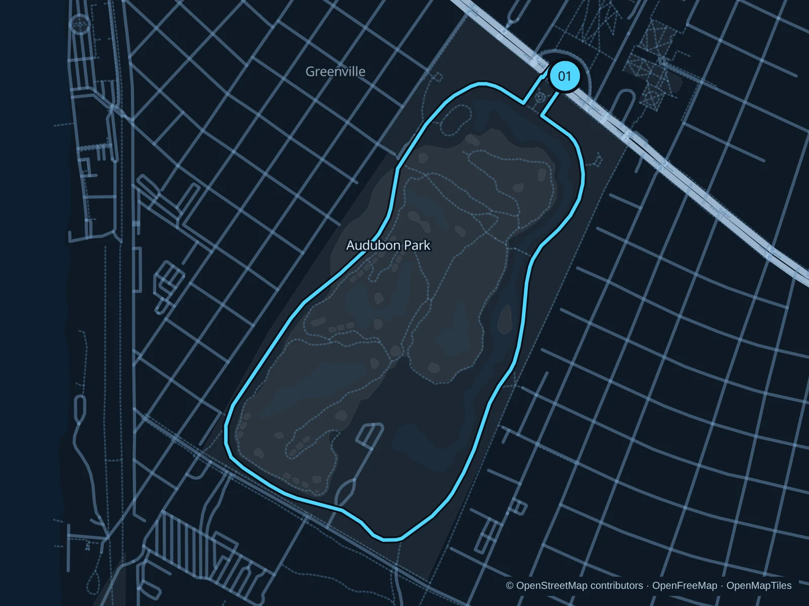
Map of the 3.1 km Audubon Park · jogging path run, with start and finish marked 01.
01 LoopOpen full-size map
Approx. distance3.1 km
Underfoot

Paved jogging path

01

Start here

At the public park entrance on St. Charles Avenue, opposite the university area.

Join the park jogging loop, circle the lagoons and golf-course perimeter, then return to St. Charles Avenue.

Getting there

Take the St. Charles streetcar to the park’s northern side and use the public entrance.

Before you go

Keep to the jogging path rather than golf-course paths. Watch for road crossings and follow posted park rules; even with the shade, you’ll still need water.

Park / route information

Get running directions on your phone
City Park · Big Lake

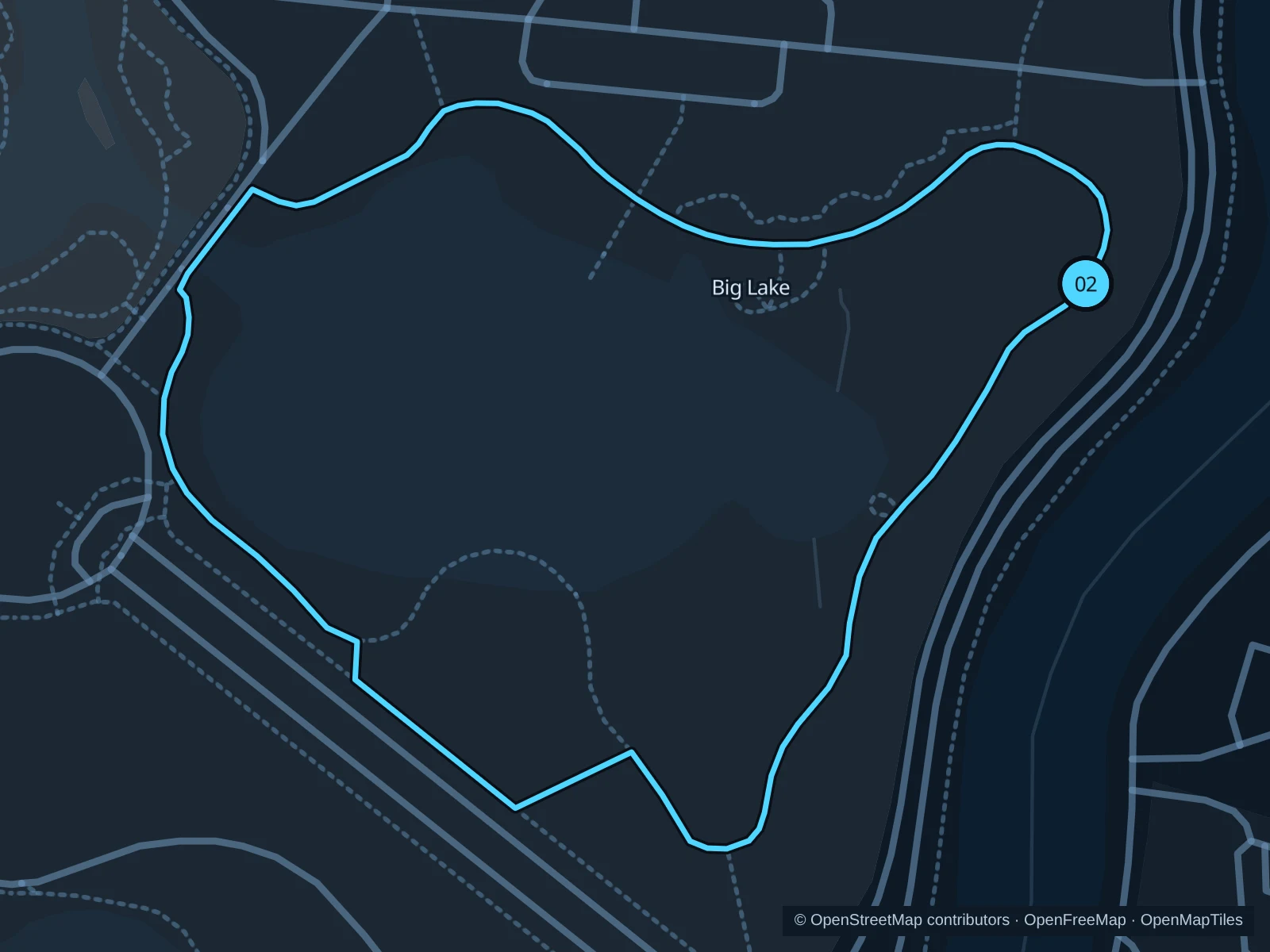
A short, open lakeside circuit among public art and planted beds near the New Orleans Museum of Art. Useful when you only want a brief run.

Map of the 1.2 km City Park · Big Lake run, with start and finish marked 02.
02 LoopOpen full-size map
Approx. distance1.2 km
Underfoot

Paved multi-use lake trail

02

Start here

On the eastern Big Lake path, on the Wisner Boulevard side of the lake.

Complete the Zemurray Trail circuit around Big Lake and return to the eastern lakeside junction.

Getting there

Take the Canal streetcar’s City Park branch toward the park, then walk to Big Lake.

Before you go

The trail is shared with bikes and walkers. Give anglers and boat users space; the botanical and sculpture gardens have their own visitor rules.

Park / route information

Get running directions on your phone

Lafitte Greenway

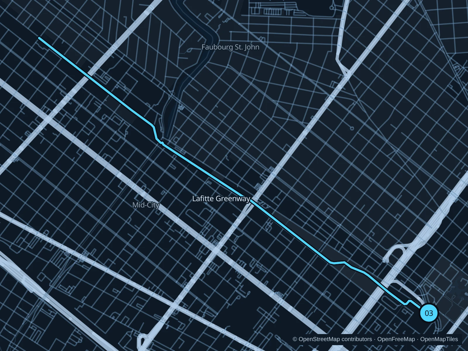
A longer run on a former rail and canal corridor, passing neighborhood parks, public art and local gathering spots.

Map of the 7.4 km Lafitte Greenway run, with start and finish marked 03.
03 Out & backOpen full-size map
Approx. distance7.4 km
Underfoot

Paved shared greenway

03

Start here

At the public greenway entrance beside Basin Street, near St. Louis Street.

Follow the greenway northwest through Tremé and Mid-City toward the Carrollton Avenue crossing, then return.

Getting there

Walk from the northern French Quarter to Basin Street and use a marked crossing to reach the trail.

Before you go

This is a shared urban trail with repeated street crossings. Pause at traffic signals and use the signed trail rather than cutting through businesses or rail property.

Park / route information

Get running directions on your phone

Get running directions on your phone

Choose a distance and start at your hotel. RunFromHere plans a loop back to your door and guides you along it. Download the area’s map before you leave to use it offline.

The app generates its own routes from your chosen start; it doesn’t open the routes in this guide.

More places to run

Crescent Park

The riverside park suits stays in Marigny or Bywater. Use the designated public bridge entrances and check posted park hours.

Park / route information

Goldring Woldenberg Riverfront Park

A central Mississippi-side alternative by the French Quarter, with the new public connection toward Crescent Park. Check which gates are open and any event detours.

Park / route information

Sources & route notes

Researched using the official visitor and park sources below; not checked on foot. Maps and GPX files use the same saved OpenStreetMap pedestrian paths. Distances are approximate. Check local notices for access, gate hours and detours.

Researched