Skip to routes
RunFromHere
Get the app
English
Illustrated panorama of Naples in white linework.

Naples

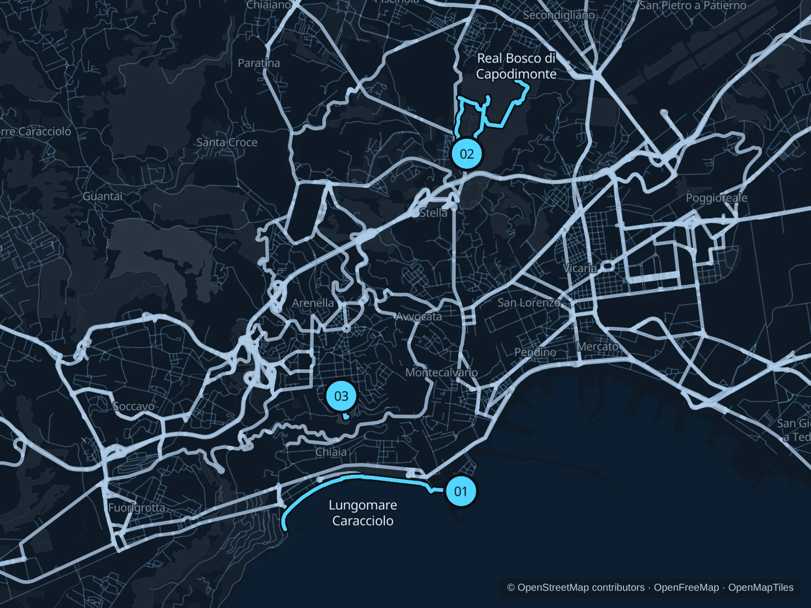
The Lungomare gives you sea views without a hill climb, while Capodimonte offers a longer wooded outing above the city. In Vomero, Floridiana fits a short, slower park session. Check current garden access: Naples is restoring several major parks.

Get running directions on your phone

Find a route near your hotel

The numbers mark each start. Distances exclude the journey from your accommodation.

Map data: © OpenStreetMap contributors · OpenFreeMap · OpenMapTiles

Where to run in Naples

Lungomare Caracciolo

An open seafront out-and-back from Santa Lucia toward Mergellina.
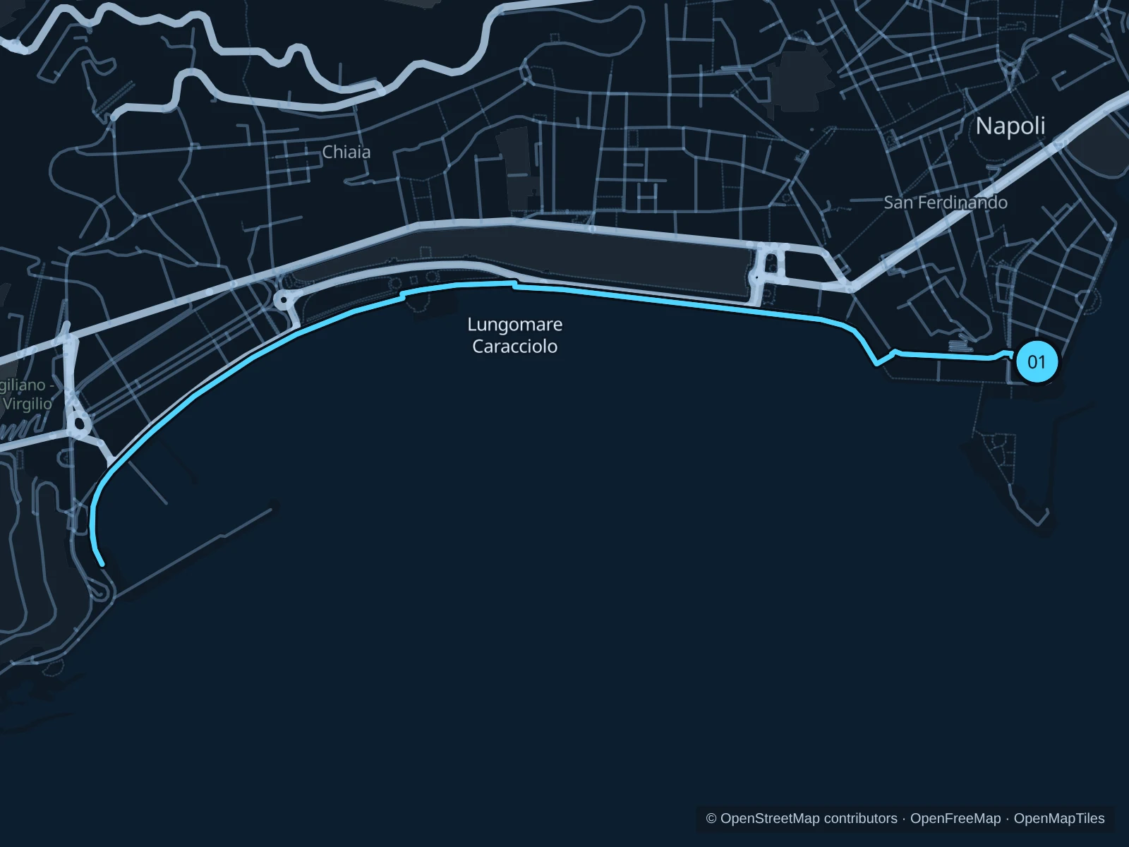
Map of the 5.8 km Lungomare Caracciolo run, with start and finish marked 01.
01 Out & backOpen full-size map
Approx. distance5.8 km
Underfoot

Paved waterfront paths

01

Start here

Public Via Partenope waterfront promenade on the mainland, beside the approach to Castel dell’Ovo.

Follow the mapped paths to the marked public turnaround on the seafront toward Mergellina, then return the same way.

Getting there

Walk from hotels in Santa Lucia, or head toward Piazza Vittoria and walk to the public seafront.

Before you go

Use the pedestrian promenade beside the cycle lane. Sea spray, crowds and temporary regatta or construction barriers can interrupt the route; turn back at closed sections. The route includes steps; walk these sections.

Park / route information

Get running directions on your phone
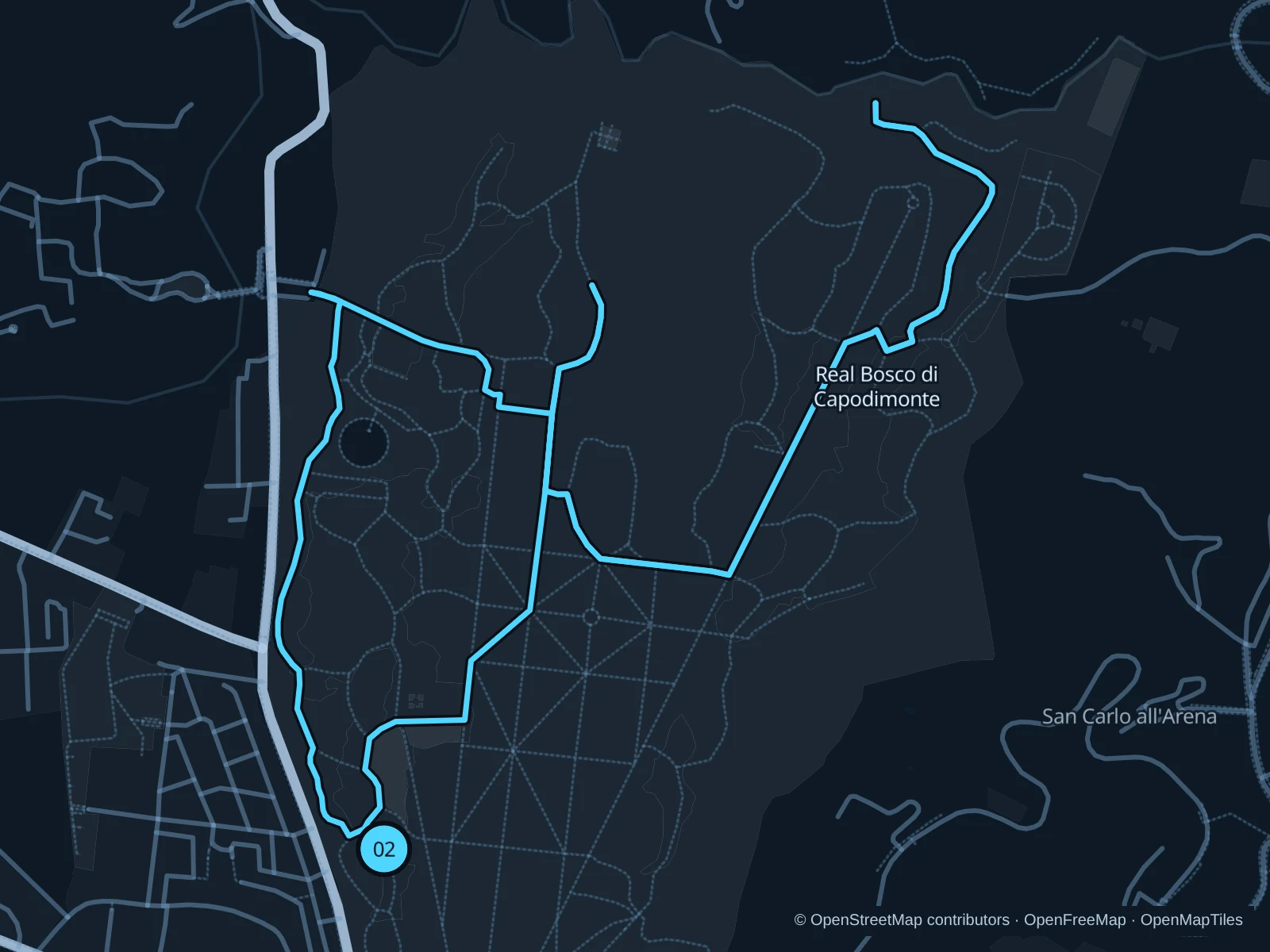
Real Bosco di Capodimonte

A longer circuit on public woodland avenues, with more space than the busy central streets.

Map of the 5.3 km Real Bosco di Capodimonte run, with start and finish marked 02.
02 LoopOpen full-size map
Approx. distance5.3 km
Underfoot

Park paths, paved and unpaved

02

Start here

Public woodland avenue north of the palace, inside the Real Bosco.

Follow the public woodland avenues north, circle the northern paths and return through the western woodland.

Getting there

Take public transportation toward Capodimonte, enter through an open, signed public gate and walk to the woodland start.

Before you go

Check seasonal gate hours and tree-work closures. Keep out of museum, nursery and enclosed garden areas, and give walkers and slower park users priority.

Park / route information

Get running directions on your phone

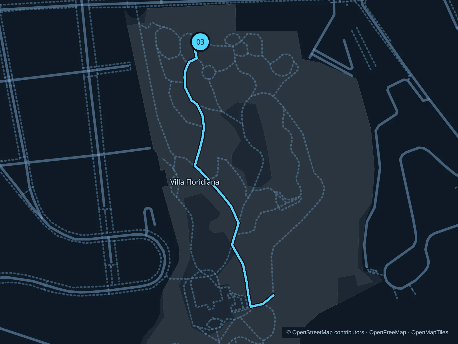
Villa Floridiana · three laps

Three short, sloping garden laps above Chiaia, suited to an easy pace rather than fast intervals.

Map of the 2.3 km Villa Floridiana run (three laps), with start and finish marked 03.
03 LoopOpen full-size map
Approx. distance2.3 km
Underfoot

Park paths, paved and unpaved

03

Start here

Public park path inside the Via Cimarosa entrance, outside the museum.

Run three gentle laps on the public garden paths, returning uphill to the Cimarosa side.

Getting there

Walk from central Vomero toward Via Cimarosa and the public park gate.

Before you go

The Cimarosa entrance reopened in May 2026 after tree work. Check current restoration signs and gate hours; walk steep, stepped or crowded sections and stay outside museum interiors.

Park / route information

Get running directions on your phone

Get running directions on your phone

Choose a distance and start at your hotel. RunFromHere plans a loop back to your door and guides you along it. Download the area’s map before you leave to use it offline.

The app generates its own routes from your chosen start; it doesn’t open the routes in this guide.

More places to run

Villa Comunale

A central garden alternative, but stick to paths that are currently open. The city reopened a first section in September 2026, and restoration is ongoing; check the latest notices at the entrances before planning a lap.

Park / route information

Parco Virgiliano

A hilltop alternative in Posillipo with terraces and Mediterranean trees. Renovation has limited access during 2026; use only public paths that are currently open and check city notices before you go.

Park / route information

Sources & route notes

Researched using the official visitor and park sources below; not checked on foot. Maps and GPX files use the same saved OpenStreetMap pedestrian paths. Distances are approximate. Check local notices for access, gate hours and diversions.

Researched