Skip to routes
RunFromHere
Get the app
English
Illustrated panorama of Montréal in white linework.

Montréal

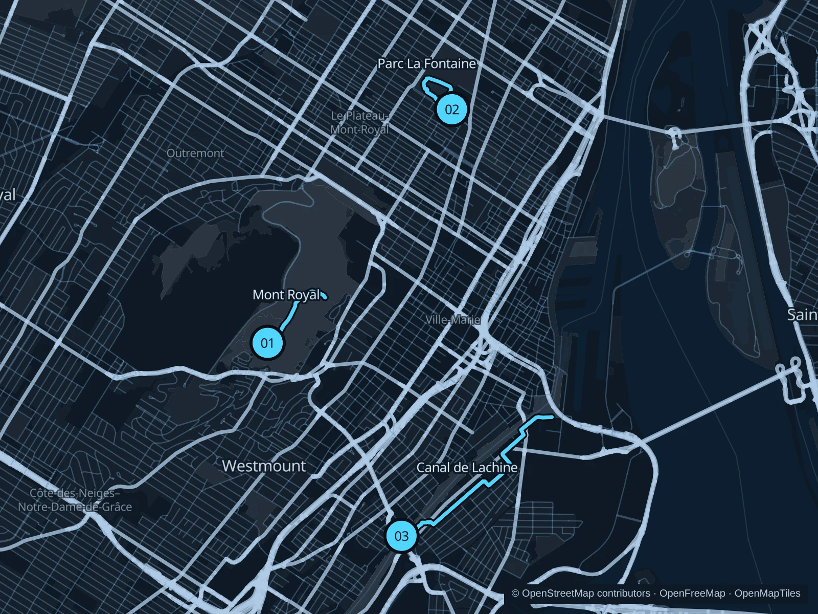
Mount Royal gives you a climb and a wooded setting above Downtown. The Lachine Canal is the flatter choice beside former industrial buildings and locks. Parc La Fontaine fits a shorter Plateau outing, but its western-edge path is being rebuilt, so use the interior route and current signs.

Get running directions on your phone

Find a route near your hotel

The numbers mark each start. Distances exclude the journey from your accommodation.

Map data: © OpenStreetMap contributors · OpenFreeMap · OpenMapTiles

Where to run in Montréal

Mont Royal · Lac aux Castors to Kondiaronk

A wooded hill run linking Beaver Lake with the Kondiaronk lookout above Downtown. The climb is part of the attraction, not a flat park lap.
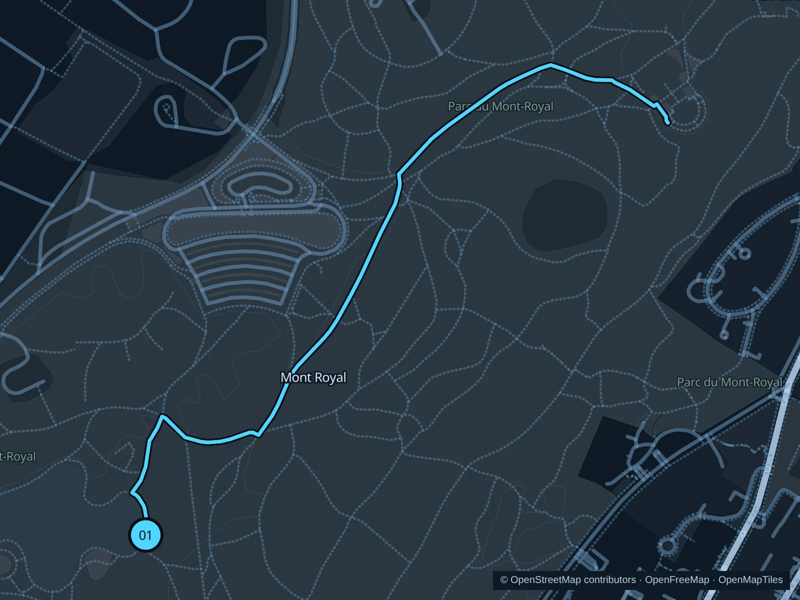
Map of the 2.2 km Mont Royal · Lac aux Castors to Kondiaronk run, with start and finish marked 01.
01 Out & backOpen full-size map
Approx. distance2.2 km
Underfoot

Gravel and paved park paths

01

Start here

On the public path outside the Lac aux Castors pavilion.

Follow the park paths toward Chemin Olmsted and the Kondiaronk lookout, then retrace the same saved route to Beaver Lake.

Getting there

Take a bus on Chemin Remembrance to the Beaver Lake area and walk to the pavilion.

Before you go

Keep to maintained paths instead of steep shortcuts. Snow, ice and thaw can change footing considerably; check park conditions before a winter run.

Park / route information

Get running directions on your phone
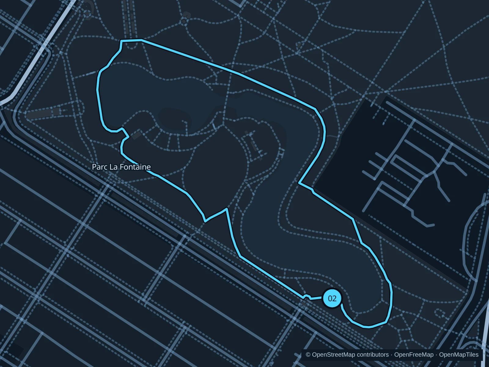
Parc La Fontaine · interior lake paths

Curving interior paths and the park’s lakes make a shorter outing in the Plateau, away from the busier shopping streets.

Map of the 1.4 km Parc La Fontaine · interior lake paths run, with start and finish marked 02.
02 LoopOpen full-size map
Approx. distance1.4 km
Underfoot

Paved and compacted park paths

02

Start here

On the public path at the southern lake, just inside the park on the Rue Cherrier side.

Follow the interior paths around the lakes and return to the southern lakeside junction, keeping inside the park.

Getting there

Walk from Sherbrooke metro along Rue Cherrier, then enter on the signed open path toward the lake.

Before you go

The avenue-side western path is under reconstruction from September 2026 into 2027. Avoid fenced works and follow any interior diversions; snow can cover paths in winter.

Park / route information

Get running directions on your phone

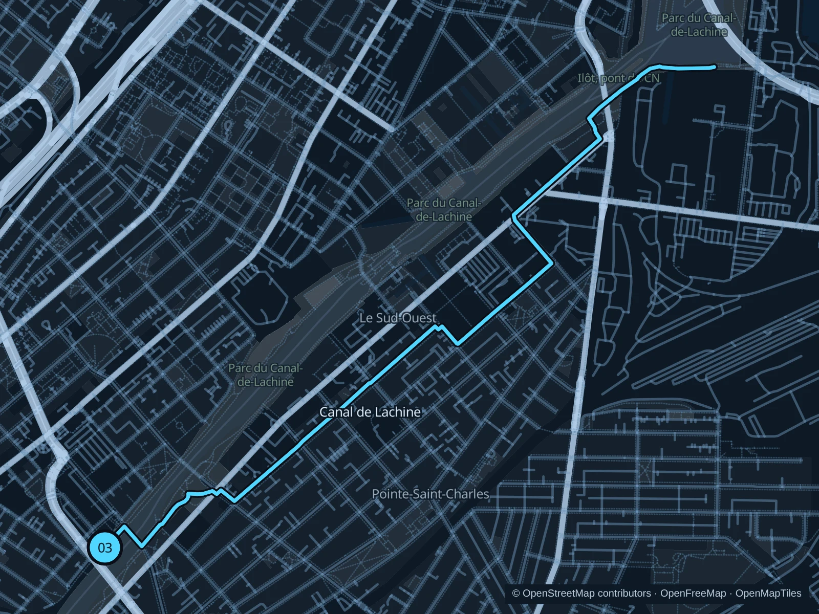
Canal de Lachine · Atwater to Bassin Peel

Locks, bridges and former industrial buildings line this flatter canal run, with room to turn early when time is short.

Map of the 5.5 km Canal de Lachine · Atwater to Bassin Peel run, with start and finish marked 03.
03 Out & backOpen full-size map
Approx. distance5.5 km
Underfoot

Paved shared canal path and connecting footpaths

03

Start here

On the public north-bank canal path beside the Atwater footbridge.

Follow the canal east past the Saint-Gabriel locks toward Bassin Peel, then return on the same saved bank-side route.

Getting there

Walk from Lionel-Groulx metro toward Atwater Market and the canal.

Before you go

Keep clear of lock operating areas and follow pedestrian signs at bridges. The path is shared with fast-moving bikes; winter grooming does not guarantee ice-free running.

Park / route information

Get running directions on your phone

Get running directions on your phone

Choose a distance and start at your hotel. RunFromHere plans a loop back to your door and guides you along it. Download the area’s map before you leave to use it offline.

The app generates its own routes from your chosen start; it doesn’t open the routes in this guide.

More places to run

Parc Jean-Drapeau

The islands offer wider parkland and river views, with a metro stop on site. Festivals and race events can change access substantially.

Park / route information

Parc Maisonneuve

An East End option near the Olympic district, with open lawns and longer park paths. Use the public park rather than ticketed garden entrances.

Park / route information

Sources & route notes

Researched using the official visitor and park sources below; not checked on foot. Maps and GPX files use the same saved OpenStreetMap pedestrian paths. Distances are approximate. Check local notices for access, gate hours and diversions.

Researched