Skip to routes
RunFromHere
Get the app
English
Illustrated panorama of Milan in white linework.

Milan

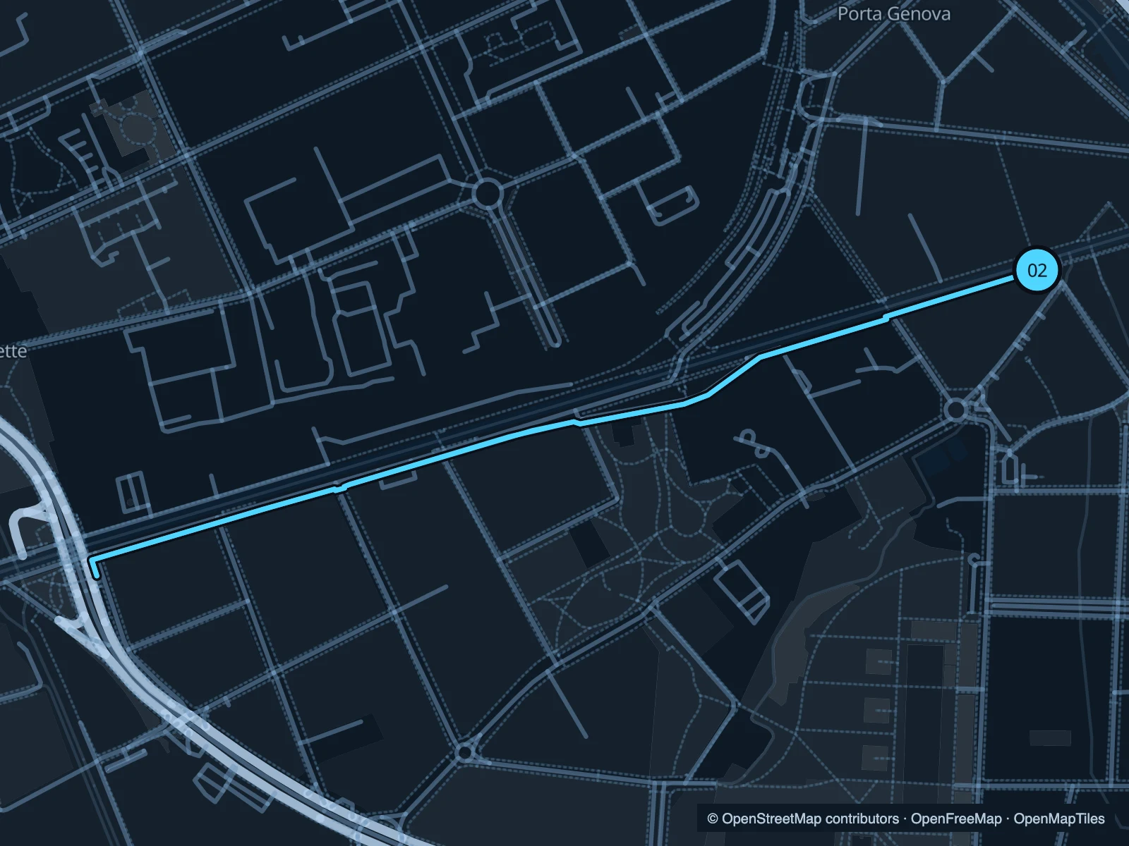
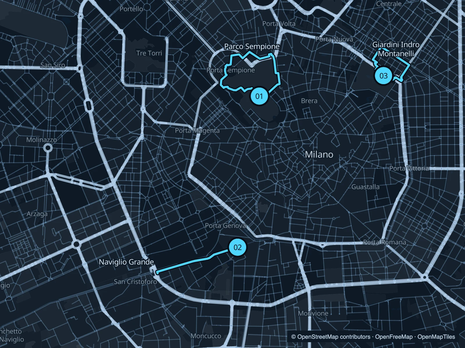
Parco Sempione and the Montanelli gardens offer short park circuits on either side of Milan’s centre. The Naviglio Grande route follows the canal southwest from the café-lined Navigli district.

Get running directions on your phone

Find a route near your hotel

The numbers mark each start. Distances exclude the journey from your accommodation.

Map data: © OpenStreetMap contributors · OpenFreeMap · OpenMapTiles

Where to run in Milan

Parco Sempione

A park circuit behind Sforza Castle, with lawns and paths between some of Milan’s best-known civic landmarks.
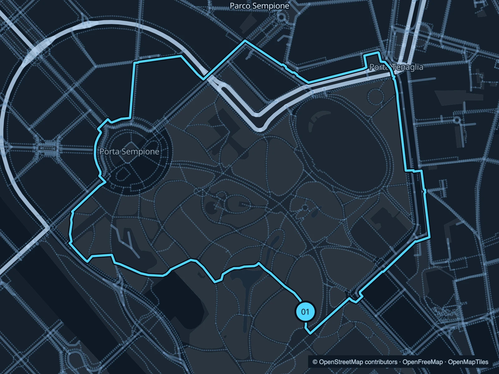
Map of the 3.0 km Parco Sempione run, with start and finish marked 01.
01 LoopOpen full-size map
Approx. distance3.0 km
Underfoot

Paved and mixed park paths

01

Start here

On the park side of Sforza Castle.

Loop through the western and northern park paths and return towards the castle.

Getting there

Walk through the public castle approaches from Cairoli or Cadorna.

Before you go

The gardens and castle spaces have separate access arrangements. Check the park gates before an early run.

Park / route information

Get running directions on your phone
Giardini Indro Montanelli

A short garden circuit close to the eastern side of the centre. Useful when you want a run without a long journey first.

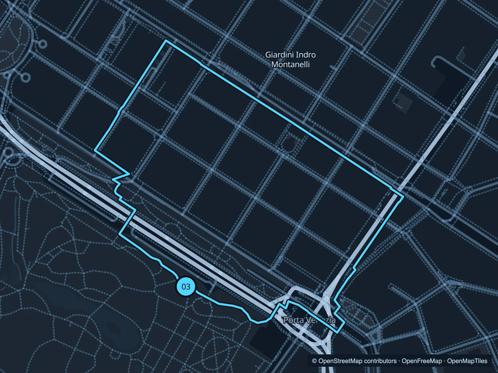
Map of the 1.8 km Giardini Indro Montanelli run, with start and finish marked 03.
03 LoopOpen full-size map
Approx. distance1.8 km
Underfoot

Paved and mixed garden paths

03

Start here

Inside the gardens on the Corso Venezia side.

Loop around the park’s paths and return to the southern gardens.

Getting there

Walk from Porta Venezia to the public garden entrances.

Before you go

Watch for families and people moving between the museums and gardens. Check gate hours.

Park / route information

Get running directions on your phone

Get running directions on your phone

Choose a distance and start at your hotel. RunFromHere plans a loop back to your door and guides you along it. Download the area’s map before you leave to use it offline.

The app generates its own routes from your chosen start; it doesn’t open the routes in this guide.

More places to run

Sources & route notes

Researched using the official visitor and park sources below; not checked on foot. Maps and GPX files use the same saved OpenStreetMap pedestrian paths. Distances are approximate. Check local notices for access, gate hours and diversions.

Researched