Skip to routes
RunFromHere
Get the app
English
Illustrated panorama of Miami in white linework.

Miami

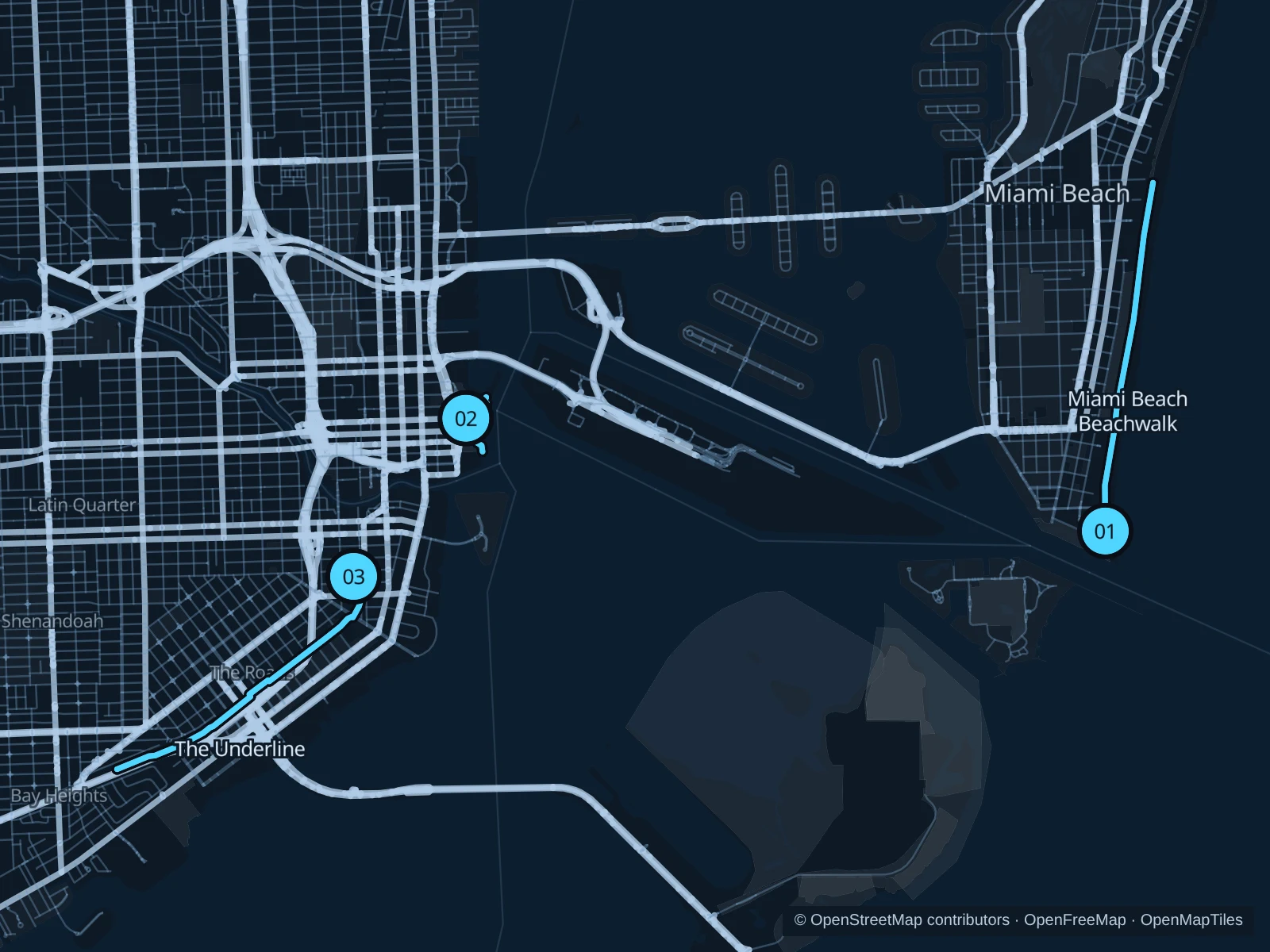
Miami Beach has the oceanfront Beachwalk; downtown has a shorter run through Bayfront Park. In Brickell, The Underline follows the Metrorail corridor with separate walking and cycling paths.

Get running directions on your phone

Find a route near your hotel

The numbers mark each start. Distances exclude the journey from your accommodation.

Map data: © OpenStreetMap contributors · OpenFreeMap · OpenMapTiles

Where to run in Miami

Miami Beach Beachwalk

A palm-lined paved path links South Pointe’s beachfront with the hotels and sand farther north.
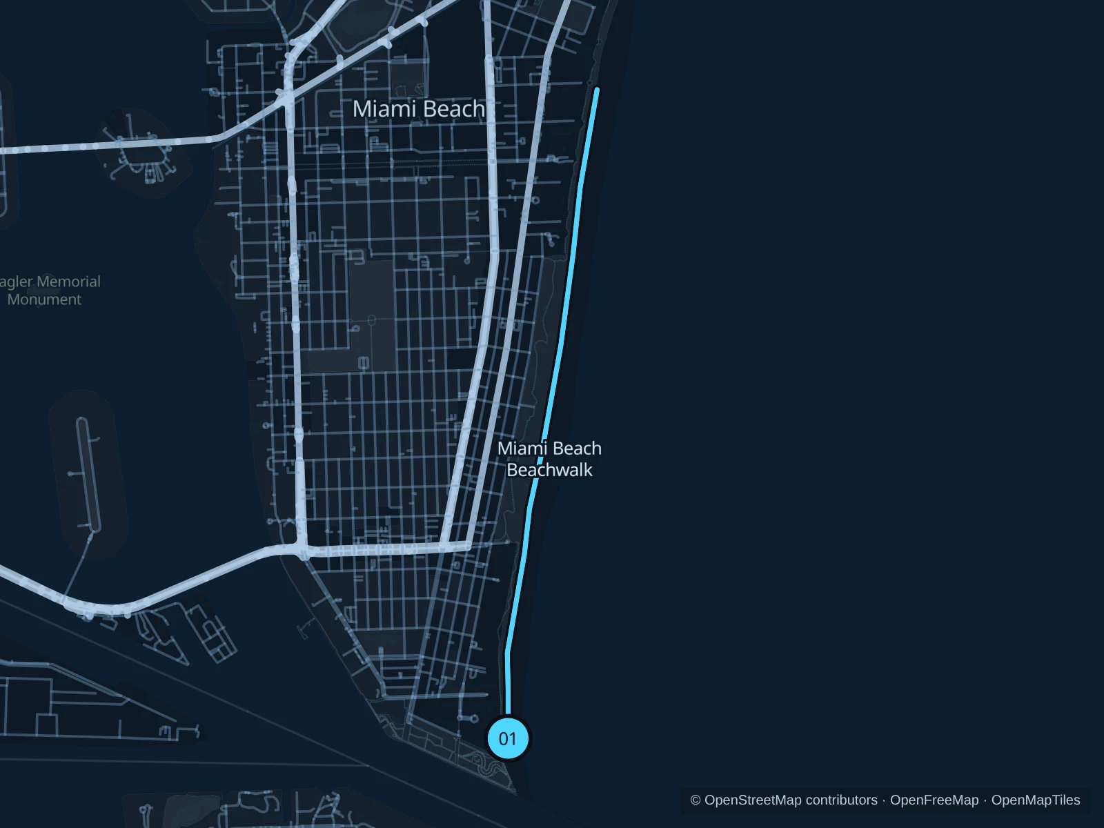
Map of the 6.1 km Miami Beach Beachwalk run, with start and finish marked 01.
01 Out & backOpen full-size map
Approx. distance6.1 km
Underfoot

Paved paths shared with walkers and cyclists

01

Start here

At the eastern Beachwalk junction in South Pointe Park.

Follow the Miami Beach Beachwalk to the 21st Street beach access, then return along the same path.

Getting there

Take the South Beach trolley or a local bus to South Pointe Drive, then walk to the signed public path.

Before you go

Keep right, pass carefully and avoid the hottest part of the day.

Park / route information

Get running directions on your phone
Bayfront Park

A compact waterfront run for downtown stays, with no trip over to Miami Beach.

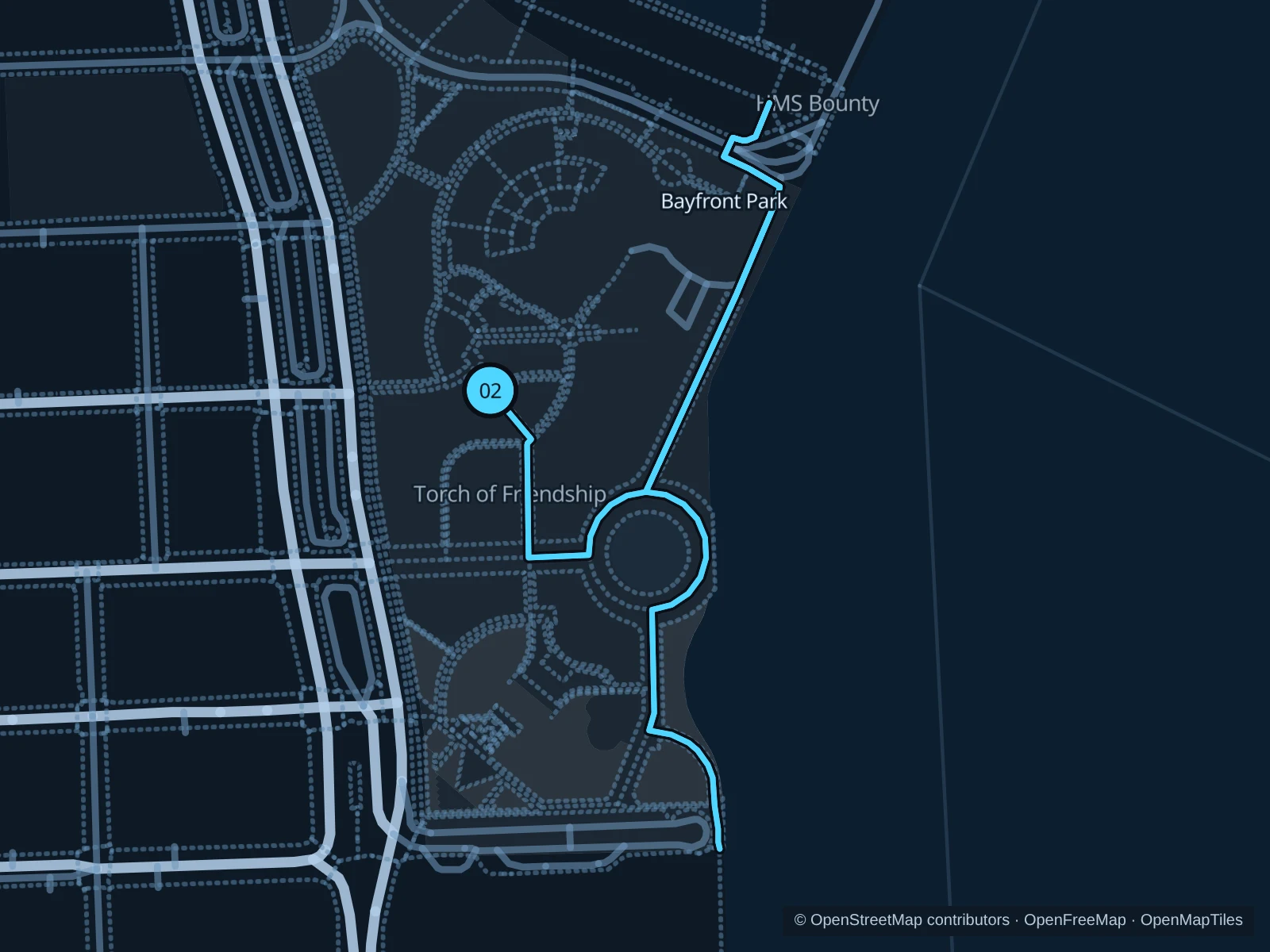
Map of the 2.2 km Bayfront Park run, with start and finish marked 02.
02 Out & backOpen full-size map
Approx. distance2.2 km
Underfoot

Paved pedestrian paths

02

Start here

On the public path south of the Bayfront Park amphitheater.

Head through Bayfront Park to the southern waterfront path, then return along the same path.

Getting there

Walk from the Bayfront Park Metromover station to the signed public path.

Before you go

Events can close sections. Bring water rather than relying on park fountains.

Park / route information

Get running directions on your phone

The Underline

Below the elevated trains, planted public spaces create a practical urban running corridor.

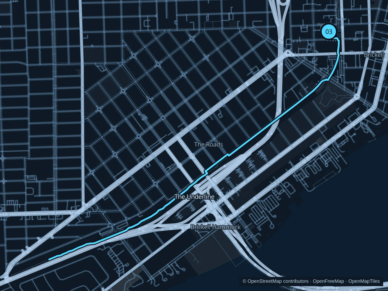
Map of the 5.9 km run along The Underline, with start and finish marked 03.
03 Out & backOpen full-size map
Approx. distance5.9 km
Underfoot

Paved pedestrian paths

03

Start here

On the public park path at Brickell Metrorail station.

Follow The Underline past Vizcaya station to the saved turnaround on the M-Path before SW 16th Avenue, then return along the same path.

Getting there

Walk from the Brickell Metrorail/Metromover station to the signed public path.

Before you go

Use the pedestrian path and stop at road crossings; bicycles have a separate lane.

Park / route information

Get running directions on your phone

Get running directions on your phone

Choose a distance and start at your hotel. RunFromHere plans a loop back to your door and guides you along it. Download the area’s map before you leave to use it offline.

The app generates its own routes from your chosen start; it doesn’t open the routes in this guide.

More places to run

Crandon Park

Key Biscayne’s beach and nature paths make a separate outing; check park opening hours and parking fees.

Park / route information

Oleta River State Park

Its multi-use trails offer a more natural setting; check entry fees and trail notices first.

Park / route information

Sources & route notes

Researched using the official visitor and park sources below; not checked on foot. Maps and GPX files use the same saved OpenStreetMap pedestrian paths. Distances are measured from that geometry and rounded for display; actual running distance can vary. Check local notices for access, gate hours and diversions.

Researched