Skip to routes
RunFromHere
Get the app
English
Illustrated panorama of Mexico City in white linework.

Mexico City

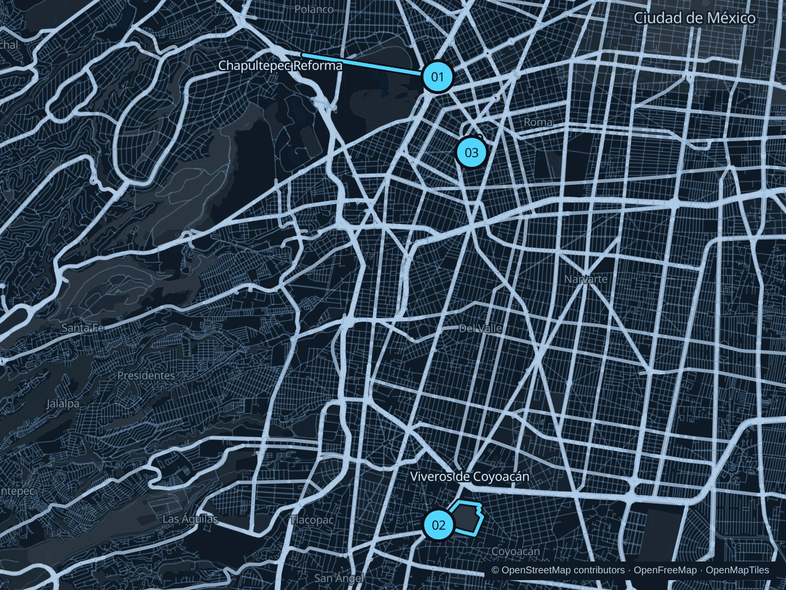
Chapultepec offers a longer wooded run near Reforma, Parque México fits a short Condesa outing, and Viveros de Coyoacán gives the south of the city its own running circuit. Start gently at this elevation and check current air-quality advice.

Get running directions on your phone

Find a route near your hotel

The numbers mark each start. Distances exclude the journey from your accommodation.

Map data: © OpenStreetMap contributors · OpenFreeMap · OpenMapTiles

Where to run in Mexico City

Chapultepec Reforma

The shared Reforma path gives a longer, gentler run along Chapultepec’s northern edge.
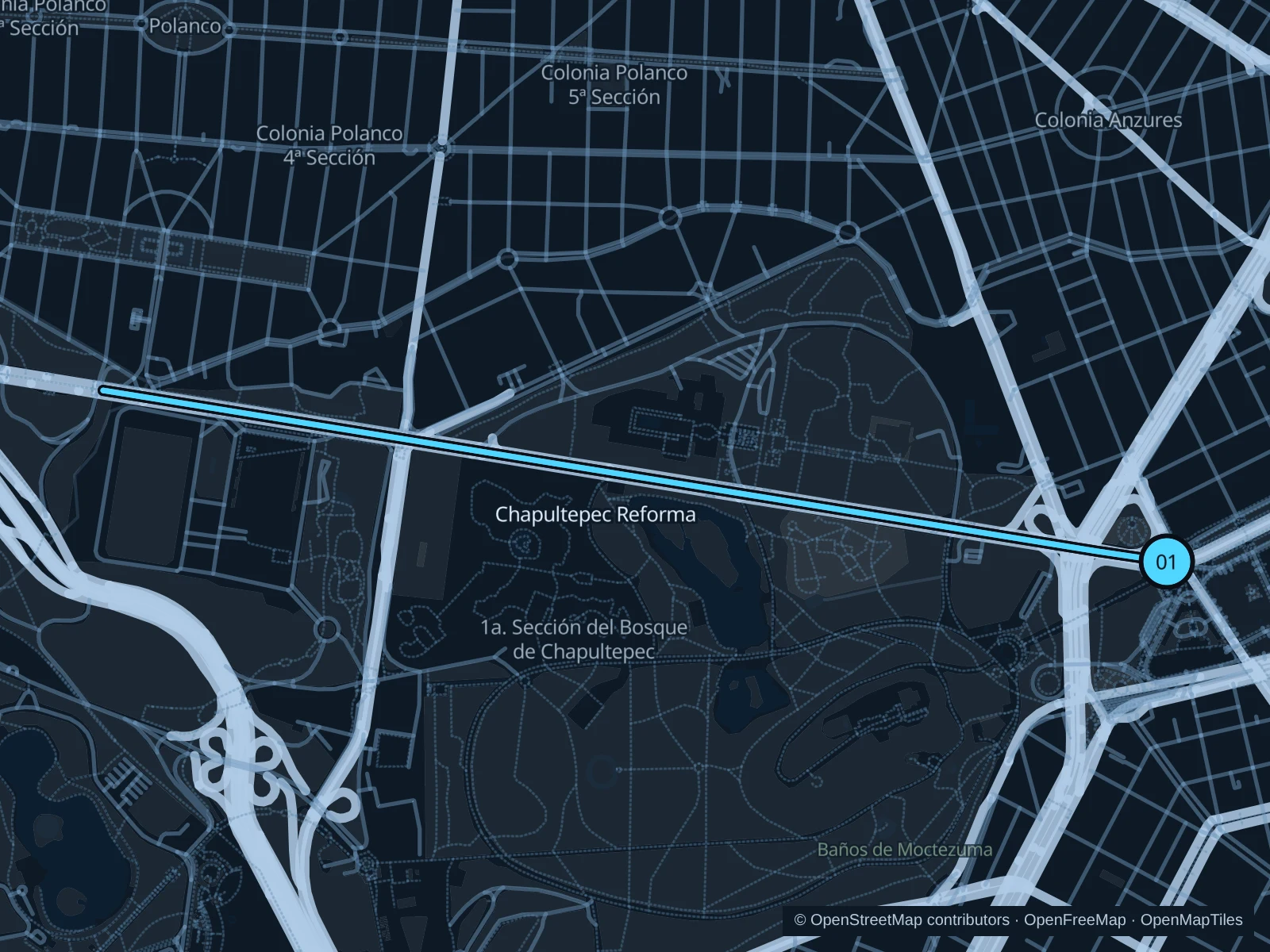
Map of the 4.7 km Chapultepec Reforma run, with start and finish marked 01.
01 Out & backOpen full-size map
Approx. distance4.7 km
Underfoot

Paved paths and compacted natural surfaces

01

Start here

On Sendero Compartido Reforma beside the Estela de Luz approach.

Follow Sendero Compartido Reforma west along the park edge, past the Anthropology Museum area to the mapped turnaround west of Auditorio Nacional, then return on the same shared path.

Getting there

From Metro Chapultepec, walk north through the public pedestrian approaches toward Estela de Luz, then join Sendero Compartido Reforma. This walk is outside the mapped run.

Before you go

Share the path with cyclists and stop at marked crossings. Museum and park gates have their own hours; stay on the public shared path.

Park / route information

Get running directions on your phone
Viveros de Coyoacán

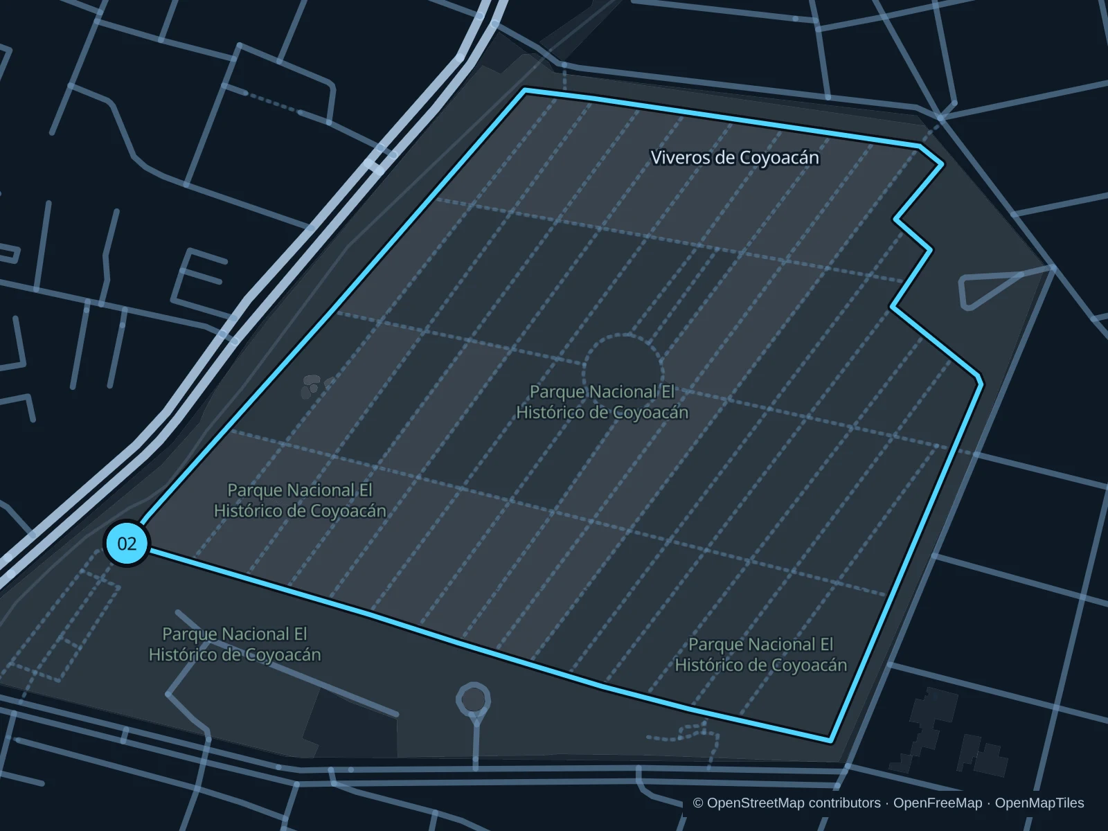
The working tree nursery has a dedicated running circuit beneath tall trees.

Map of the 2.2 km Viveros de Coyoacán run, with start and finish marked 02.
02 LoopOpen full-size map
Approx. distance2.2 km
Underfoot

Paved paths and compacted natural surfaces

02

Start here

On Calle Circunvalación, the public running circuit beside the western Avenida Universidad entrance.

Follow the public running circuit around the nursery and return to the same entrance junction.

Getting there

Take the Metro to Viveros/Derechos Humanos, then walk to the public park entrance.

Before you go

Check opening hours and storm-related closures. Keep to the public running circuit and leave plant-production areas clear.

Park / route information

Get running directions on your phone

Parque México

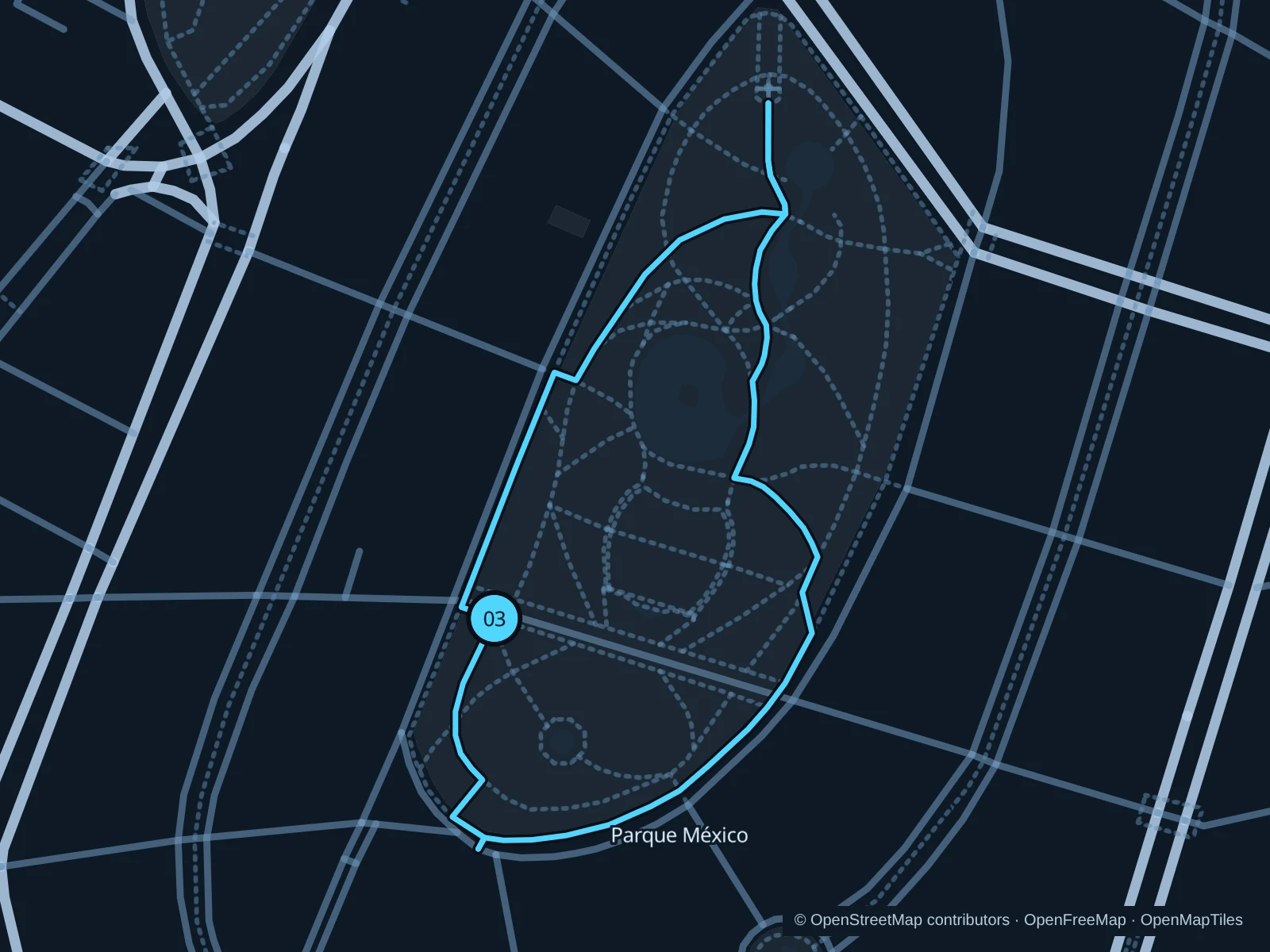
An easy short park circuit sits among Condesa’s cafés and Art Deco buildings.

Map of the 1.0 km Parque México run, with start and finish marked 03.
03 LoopOpen full-size map
Approx. distance1.0 km
Underfoot

Paved pedestrian paths

03

Start here

On the public park path beside Foro Lindbergh.

Follow the connected public paths around the park and return to Foro Lindbergh without crossing into traffic lanes.

Getting there

Take the Metro to Chilpancingo, then walk to the public park entrance.

Before you go

Go early and slow to a walk around groups of dogs, playgrounds and events.

Park / route information

Get running directions on your phone

Get running directions on your phone

Choose a distance and start at your hotel. RunFromHere plans a loop back to your door and guides you along it. Download the area’s map before you leave to use it offline.

The app generates its own routes from your chosen start; it doesn’t open the routes in this guide.

More places to run

Alameda Central

The historic center’s public garden is another short option; busy plazas and demonstrations call for a walking pace.

Park / route information

Canal Nacional

The restored canal has public walking and running paths in the southeast, but it’s a separate trip from central hotels.

Park / route information

Sources & route notes

Researched using the official visitor and park sources below; not checked on foot. Maps and GPX files use the same saved OpenStreetMap pedestrian paths. Distances are approximate. Check local notices for access, gate hours and diversions.

Researched