Skip to routes
RunFromHere
Get the app
English
Illustrated panorama of Manchester in white linework.

Manchester

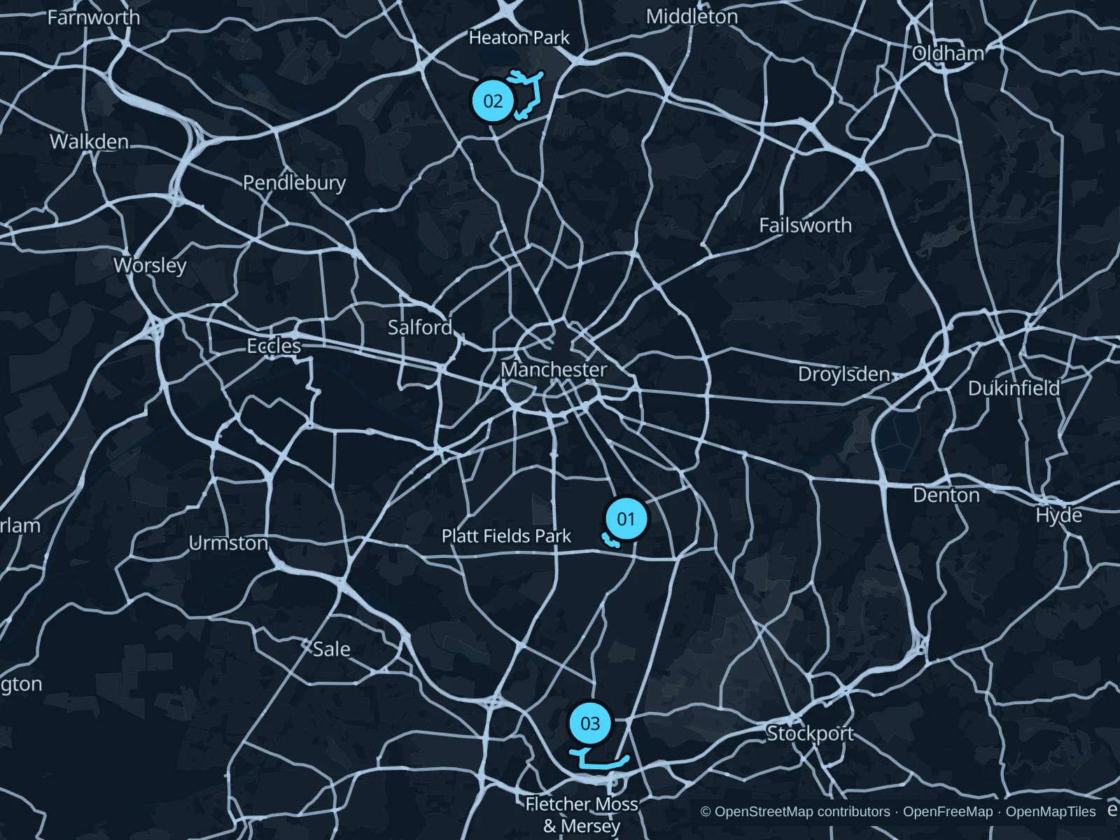
Choose Platt Fields for a short park circuit, Heaton Park for more distance, or Fletcher Moss and the Mersey for woodland and river paths. These areas reward a trip beyond the central streets.

Get running directions on your phone

Find a route near your hotel

The numbers mark each start. Distances exclude the journey from your accommodation.

Map data: © OpenStreetMap contributors · OpenFreeMap · OpenMapTiles

Where to run in Manchester

Platt Fields Park

A compact park run past the lake and open lawns, convenient for stays south of the university.
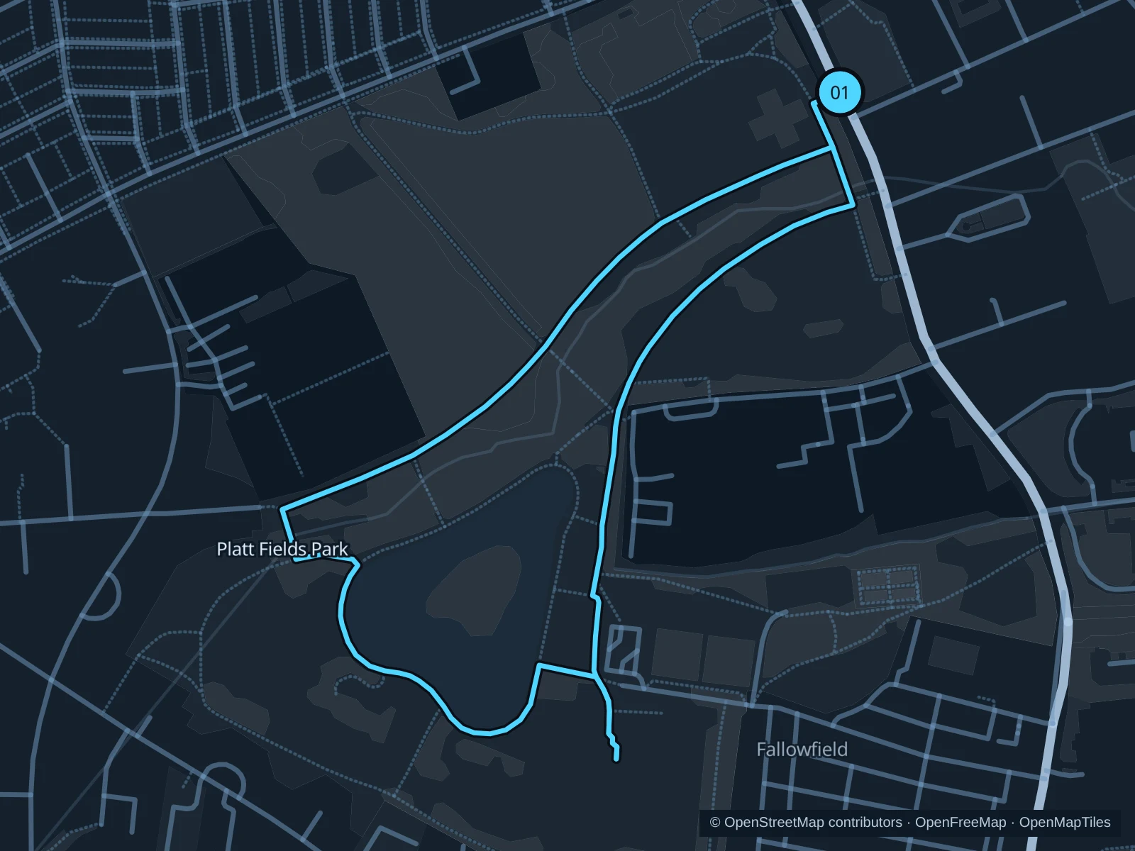
Map of the 1.9 km Platt Fields Park run, with start and finish marked 01.
01 LoopOpen full-size map
Approx. distance1.9 km
Underfoot

Park paths, paved and unpaved

01

Start here

Public park path west of Platt Hall, reached from Wilmslow Road.

Circle the public paths beside the lake and lawns, finishing back outside Platt Hall.

Getting there

Use public transport along Wilmslow Road and walk to the park entrance.

Before you go

The park is open from dawn to dusk. Events can occupy the show fields; follow signed diversions and stay off the BMX track. Slow to a walk at gates and barriers.

Park / route information

Get running directions on your phone
Heaton Park

Large parkland, historic buildings and rolling ground make the longer option worth the tram ride.

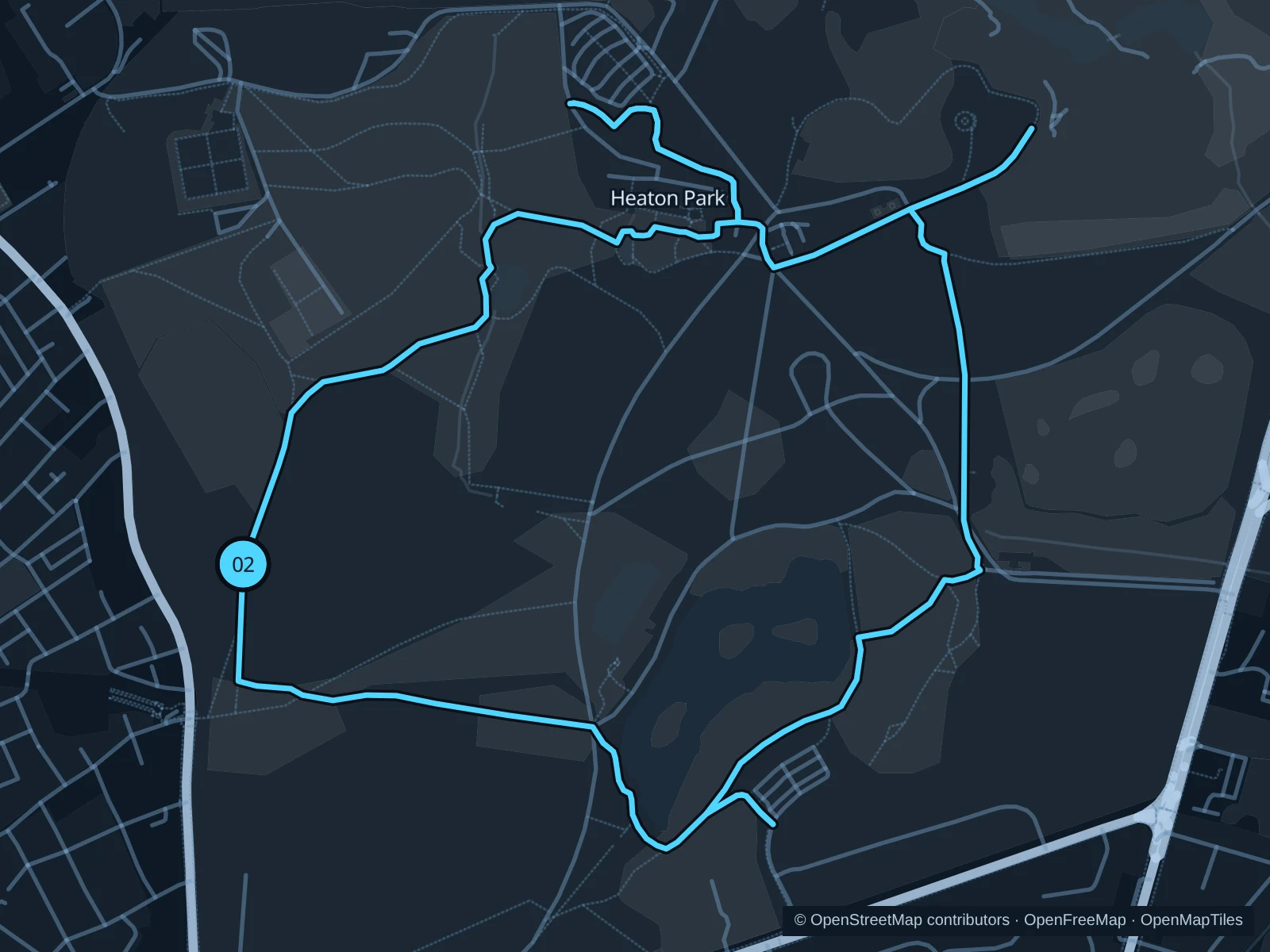
Map of the 4.6 km Heaton Park run, with start and finish marked 02.
02 LoopOpen full-size map
Approx. distance4.6 km
Underfoot

Park paths, paved and unpaved

02

Start here

Western public park path reached from Bury Old Road.

Circle the northern and eastern park paths and return via the southern parkland.

Getting there

Walk from Heaton Park Metrolink station to the public entrance.

Before you go

Expect hills and muddy edges. Stay off golf greens and check gate opening hours and event closures before leaving.

Park / route information

Get running directions on your phone

Fletcher Moss & Mersey

Wooded paths and river meadows give a quieter southern outing outside the botanical gardens.

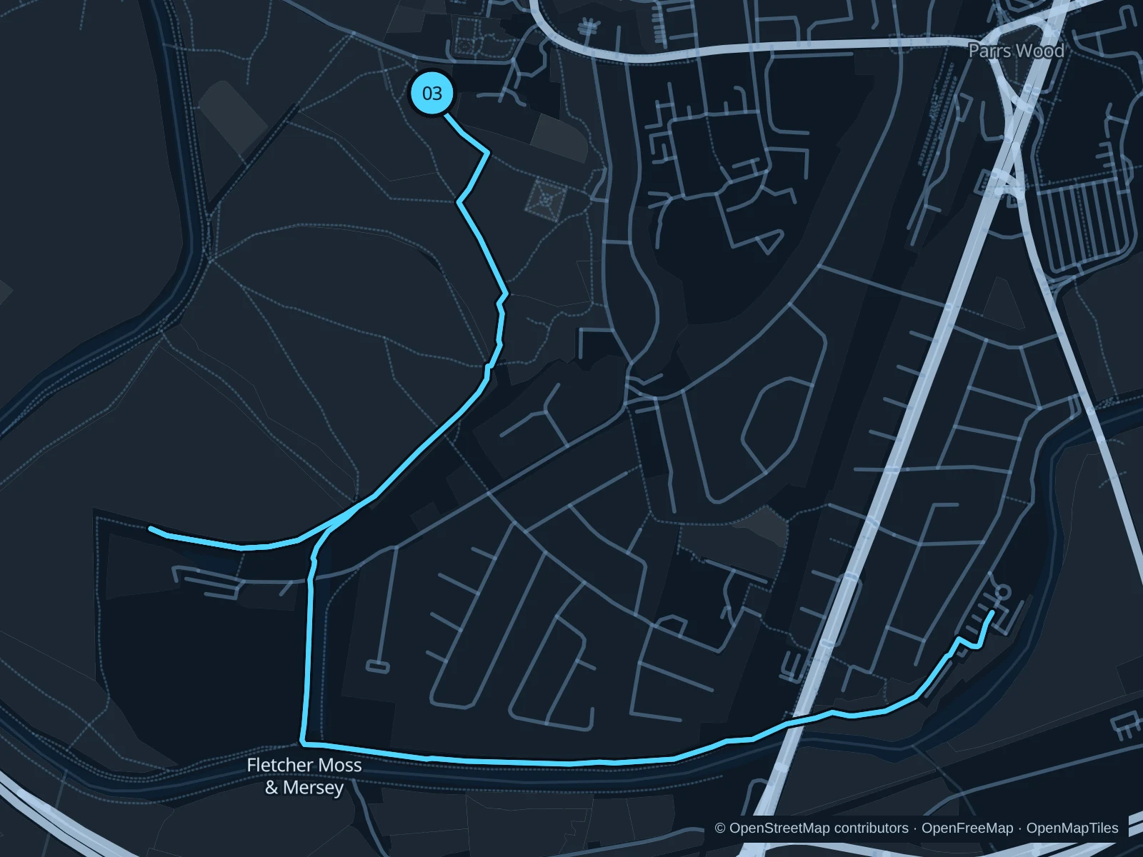
Map of the 5.7 km Fletcher Moss & Mersey run, with start and finish marked 03.
03 Out & backOpen full-size map
Approx. distance5.7 km
Underfoot

Park paths, paved and unpaved

03

Start here

Main public path by the Fletcher Moss entrance on Millgate Lane.

Follow the mapped public paths through Stenner Woods to the Mersey riverside, continue to the marked turnaround, then return the same way.

Getting there

From Didsbury Village Metrolink stop, walk through the village toward Millgate Lane.

Before you go

Keep out of the delicate rock-garden beds. Low-lying riverside paths flood after heavy rain; respect any closures and turn back if a path is flooded.

Park / route information

Get running directions on your phone

Get running directions on your phone

Choose a distance and start at your hotel. RunFromHere plans a loop back to your door and guides you along it. Download the area’s map before you leave to use it offline.

The app generates its own routes from your chosen start; it doesn’t open the routes in this guide.

More places to run

Chorlton Water Park

A lake and public paths in the Mersey Valley. Go in daylight, and note that nearby Bailey Bridge remains closed for replacement, according to the council’s September 2026 update.

Park / route information

Rochdale Canal

The central towpath offers waterside exploring, but locks, steps and narrow stretches interrupt a steady run.

Park / route information

Sources & route notes

Researched using the official visitor and park sources below; not checked on foot. Maps and GPX files use the same saved OpenStreetMap pedestrian paths. Distances are approximate. Check local notices for access, gate hours and diversions.

Researched