Skip to routes
RunFromHere
Get the app
English
Illustrated panorama of Málaga in white linework.

Málaga

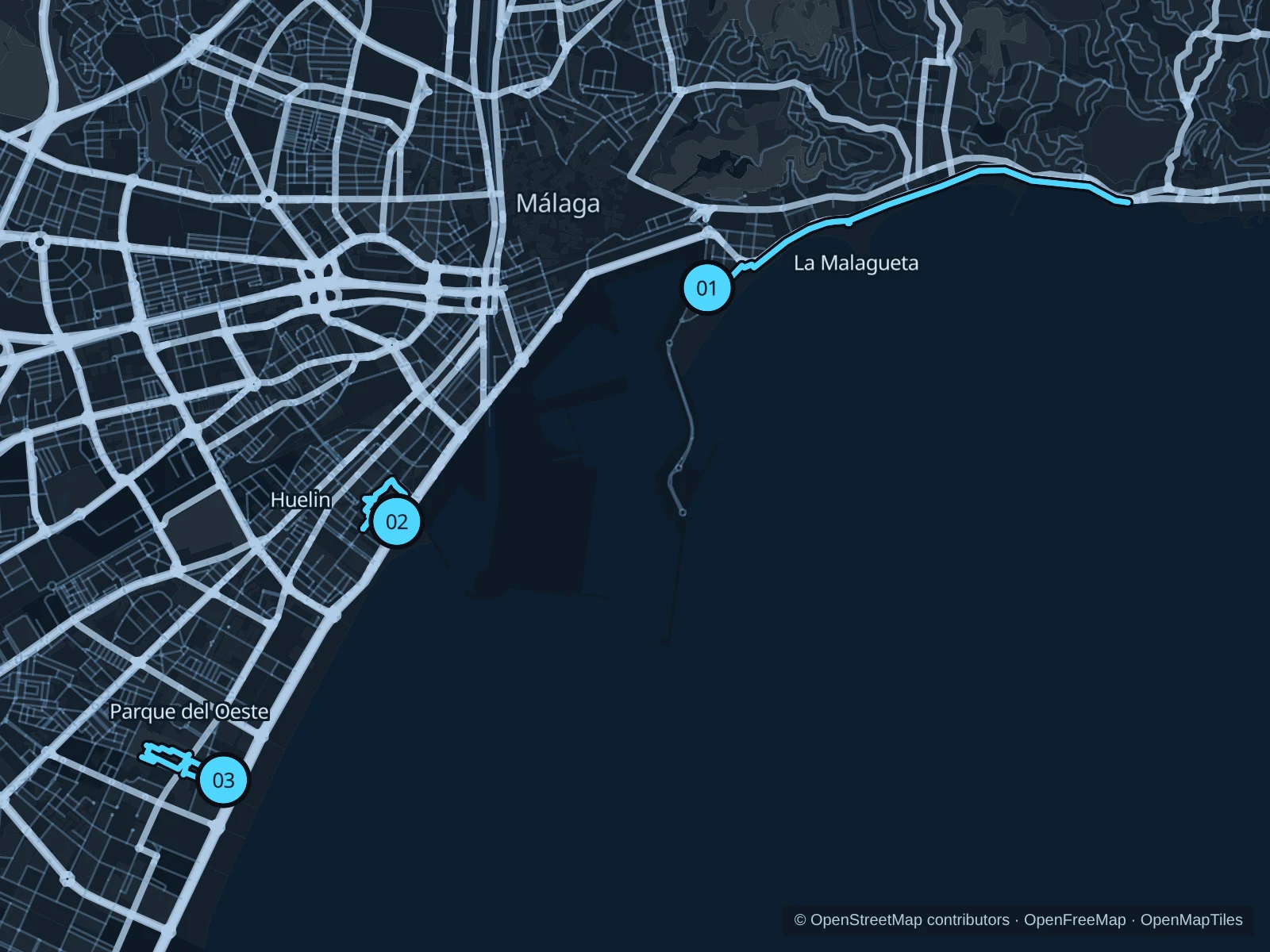
Málaga offers a long coastal promenade and smaller public parks for an easy run between sightseeing or meetings. Choose La Malagueta for sea views, Huelin for short repeated laps or Parque del Oeste for gardens and sculpture. Plan around the heat, busy beach access points and park gate hours.

Get running directions on your phone

Find a route near your hotel

The numbers mark each start. Distances exclude the journey from your accommodation.

Map data: © OpenStreetMap contributors · OpenFreeMap · OpenMapTiles

Where to run in Málaga

La Malagueta coastal promenade

A longer seaside run along the public promenade east of the port.
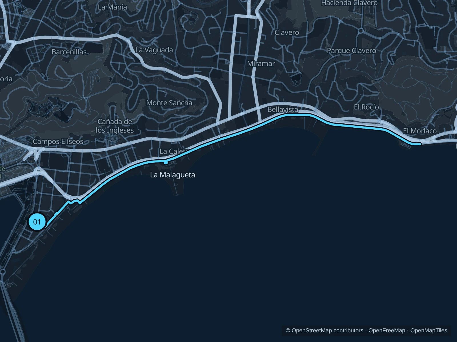
Map of the 5.4 km La Malagueta coastal promenade run, with start and finish marked 01.
01 Out & backOpen full-size map
Approx. distance5.4 km
Underfoot

Paved pedestrian paths

01

Start here

On the public promenade at the western end of La Malagueta beach.

Follow the paved public promenade east along La Malagueta and La Caleta. Turn at the mapped point on Paseo Marítimo Pablo Ruiz Picasso, before the Baños del Carmen grounds, and return the same way.

Getting there

From the Paseo del Parque bus stops, walk southeast through the public streets to La Malagueta beach and join the promenade.

Before you go

In hot weather, start early, carry water and stay out of the bike lane. Slow to a walk near busy beach access points, and turn back before any storm or construction barriers near Baños del Carmen.

Park / route information

Get running directions on your phone
Parque de Huelin

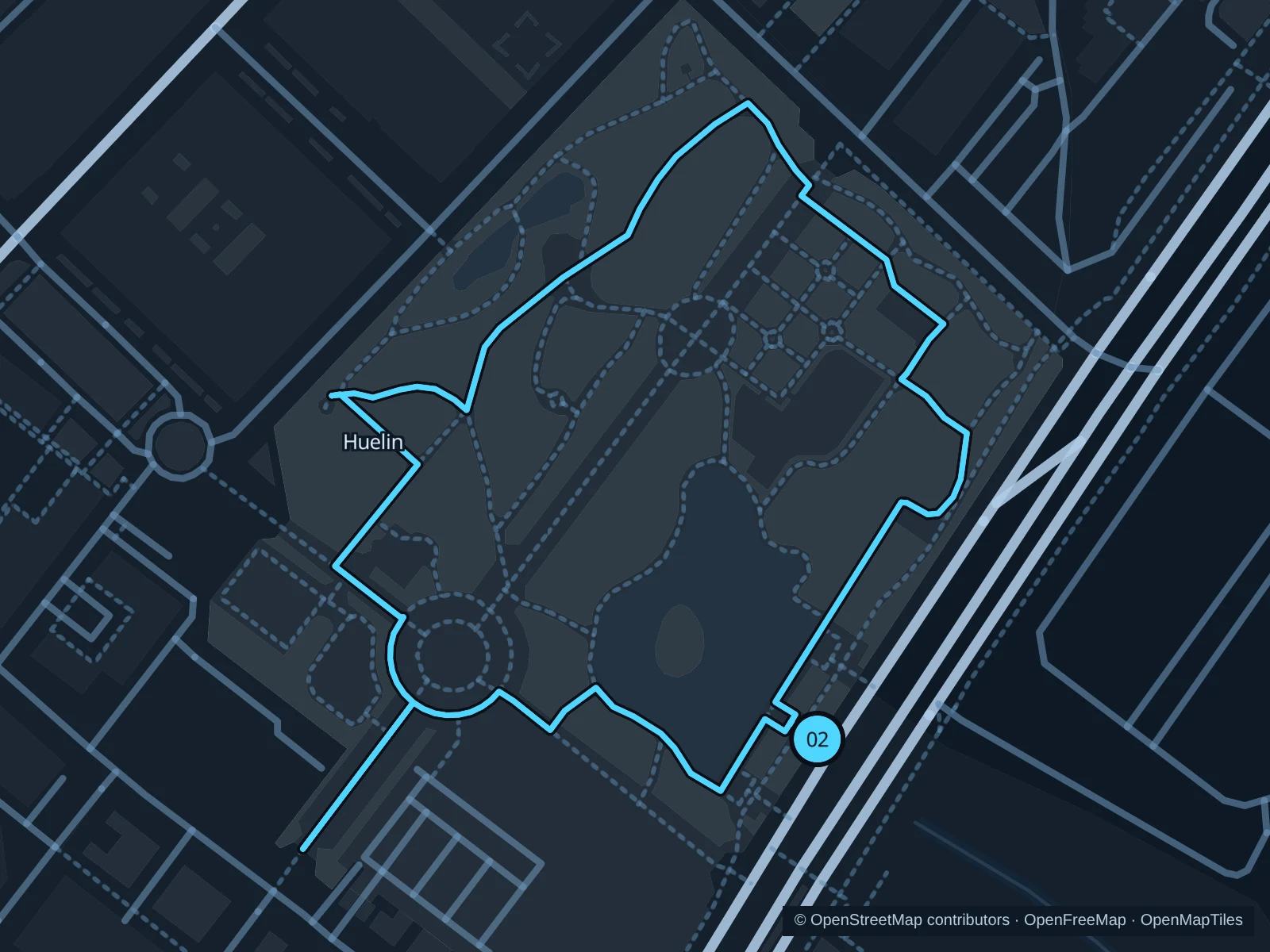
Two easy laps on the connected public paths of a neighborhood park near the western seafront.

Map of the 2.1 km Parque de Huelin run, with start and finish marked 02.
02 LoopOpen full-size map
Approx. distance2.1 km
Underfoot

Paved paths and compacted natural surfaces

02

Start here

On the public park path near the Paseo Antonio Machado entrance.

Run two laps of the same public park circuit around the landscaped paths, returning to the marked start after each lap. The saved GPX includes both laps.

Getting there

From María Zambrano railway station, walk south through the public streets toward Huelin Park and its Paseo Antonio Machado entrance. This walk isn’t part of the run.

Before you go

The main park reopened in September 2025; separate dog-park works were announced in September 2026. Check current access notices, stay outside fenced work areas, give families space and do not feed birds.

Park / route information Park / route information Park / route information

Get running directions on your phone

Parque del Oeste

A compact park circuit among open-air sculptures and the lake landscape.

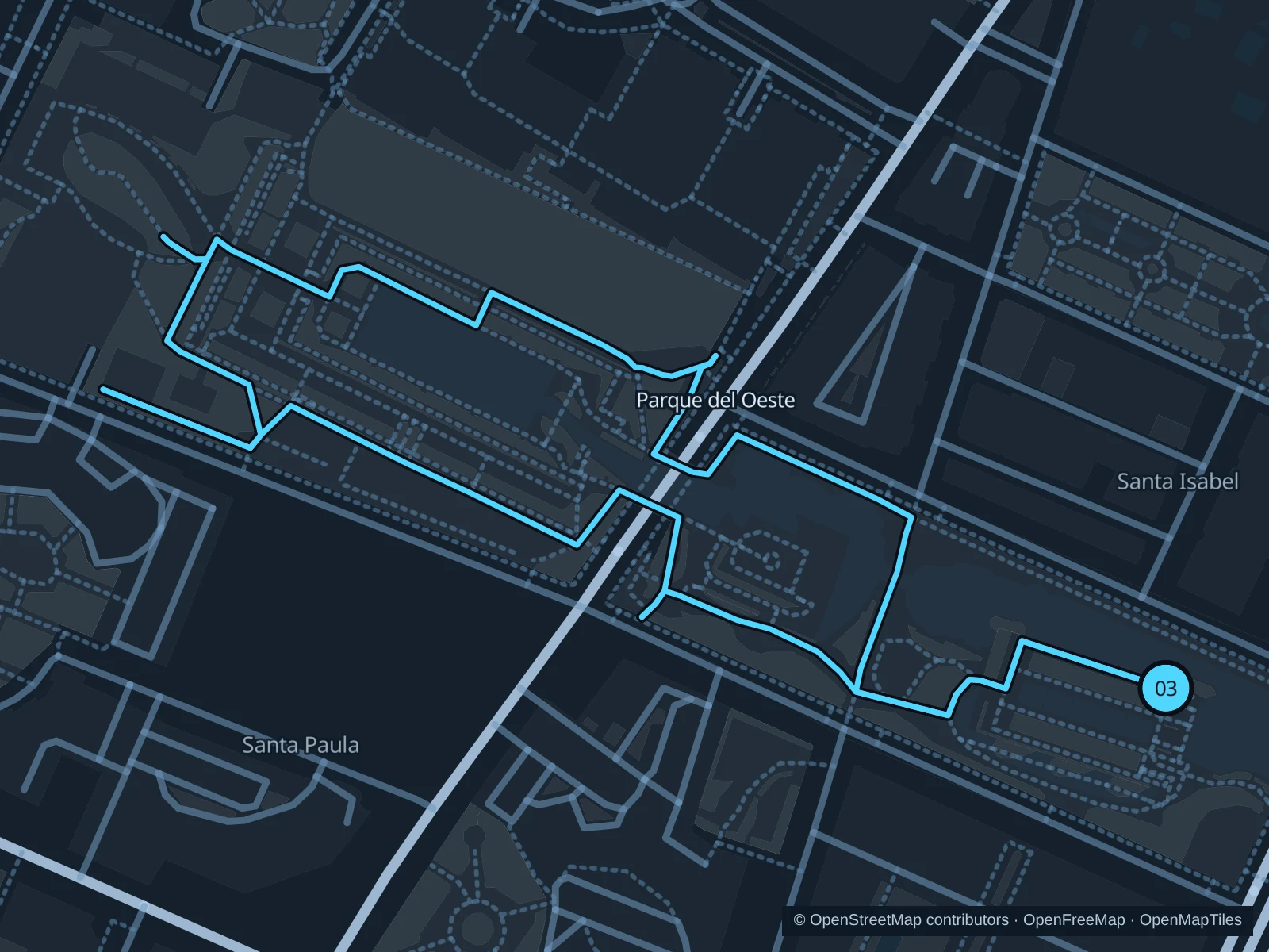
Map of the 1.5 km Parque del Oeste run, with start and finish marked 03.
03 LoopOpen full-size map
Approx. distance1.5 km
Underfoot

Paved paths and compacted natural surfaces

03

Start here

On the public park path near the Calle Diamantino García Acosta entrance.

Use the public park paths west past the gardens, continue along the southern side of the lake area and return east to the same entrance.

Getting there

From La Luz–La Paz metro station, walk south to Parque del Oeste and continue to the public entrance on Calle Diamantino García Acosta.

Before you go

The operator lists 7:30am–12:30am from April through October and 7:45am–10pm otherwise. Check for event restrictions, and slow to a walk near playgrounds, lake edges and busy sculpture areas.

Park / route information Park / route information

Get running directions on your phone

Get running directions on your phone

Choose a distance and start at your hotel. RunFromHere plans a loop back to your door and guides you along it. Download the area’s map before you leave to use it offline.

The app generates its own routes from your chosen start; it doesn’t open the routes in this guide.

More places to run

Paseo Marítimo Antonio Banderas

The western seafront offers another public promenade run. Use the pedestrian side of the coastal corridor and check any current storm or maintenance diversions.

Park / route information

Montes de Málaga

The public forest north of town makes a separate trail outing with hills and uneven ground, and you’ll need transportation to get there. Check official fire and weather restrictions, carry water and use a current trail map.

Park / route information

Sources & route notes

Researched using the official visitor and park sources below; not checked on foot. Maps and GPX files use the same saved OpenStreetMap pedestrian paths. Distances are approximate. Check local notices for access, gate hours and diversions.

Researched