Skip to routes
RunFromHere
Get the app
English
Illustrated panorama of Lyon in white linework.

Lyon

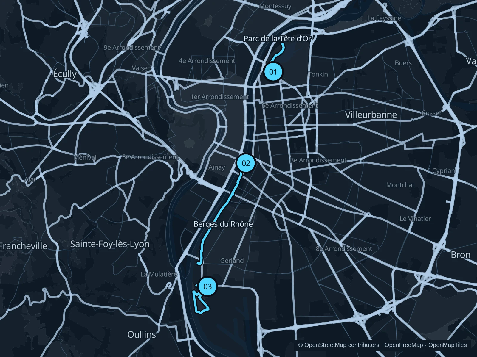
Lyon makes it easy to choose between a classic park circuit and a longer riverside run. The Tête d’Or paths suit a morning near the center, the Rhône banks let you settle into a steady rhythm, and Gerland offers open parkland farther south.

Get running directions on your phone

Find a route near your hotel

The numbers mark each start. Distances exclude the journey from your accommodation.

Map data: © OpenStreetMap contributors · OpenFreeMap · OpenMapTiles

Where to run in Lyon

Parc de la Tête d’Or

An easy park run along the western lakeshore, staying outside the zoo enclosures and botanical collections.
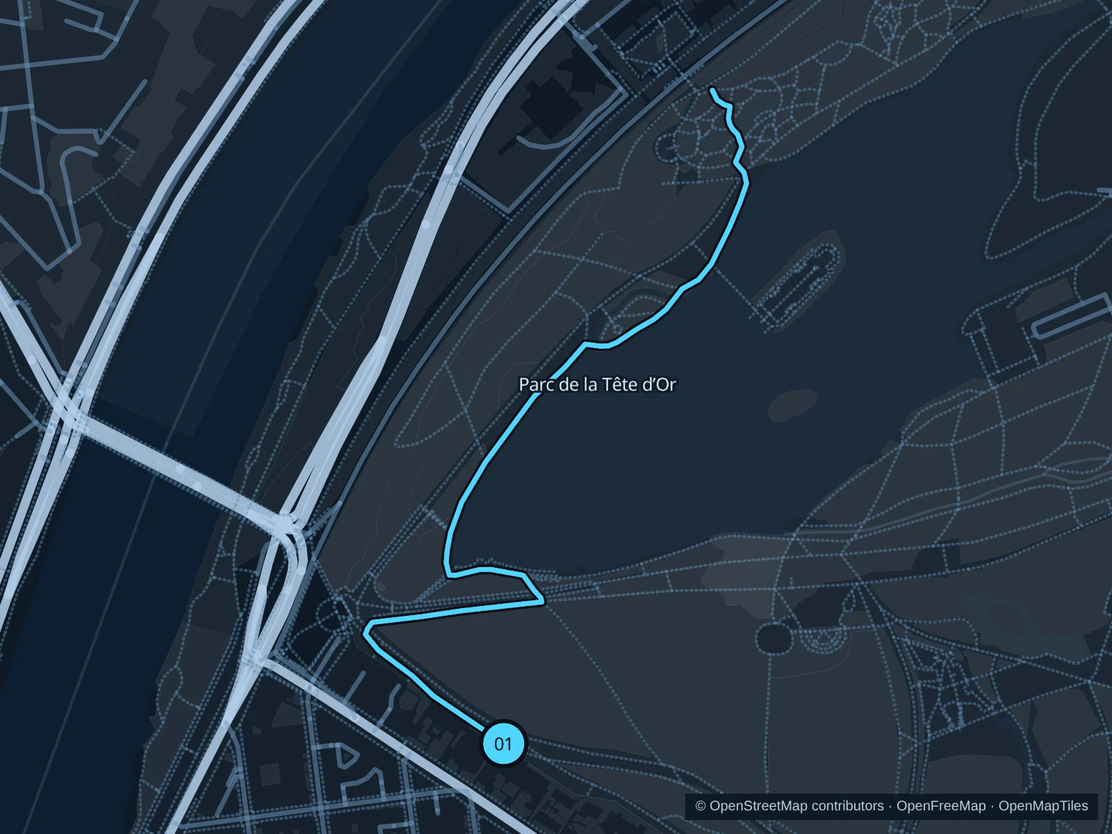
Map of the 2.4 km Parc de la Tête d’Or run, with start and finish marked 01.
01 Out & backOpen full-size map
Approx. distance2.4 km
Underfoot

Park paths, paved and unpaved

01

Start here

Public lakeside park path north of Porte des Enfants du Rhône.

Follow the saved public paths north beside the lake toward the rose-garden side, then retrace your route.

Getting there

Walk from the Rhône side to Porte des Enfants du Rhône, or use local transport toward the park’s southwestern entrance.

Before you go

Check gate hours, give walkers room and avoid entrances that lead only into the zoo or gardens. This short route retraces the lakeside paths.

Park / route information

Get running directions on your phone
Berges du Rhône

A longer out-and-back on the Rhône’s left bank, heading south toward Gerland.

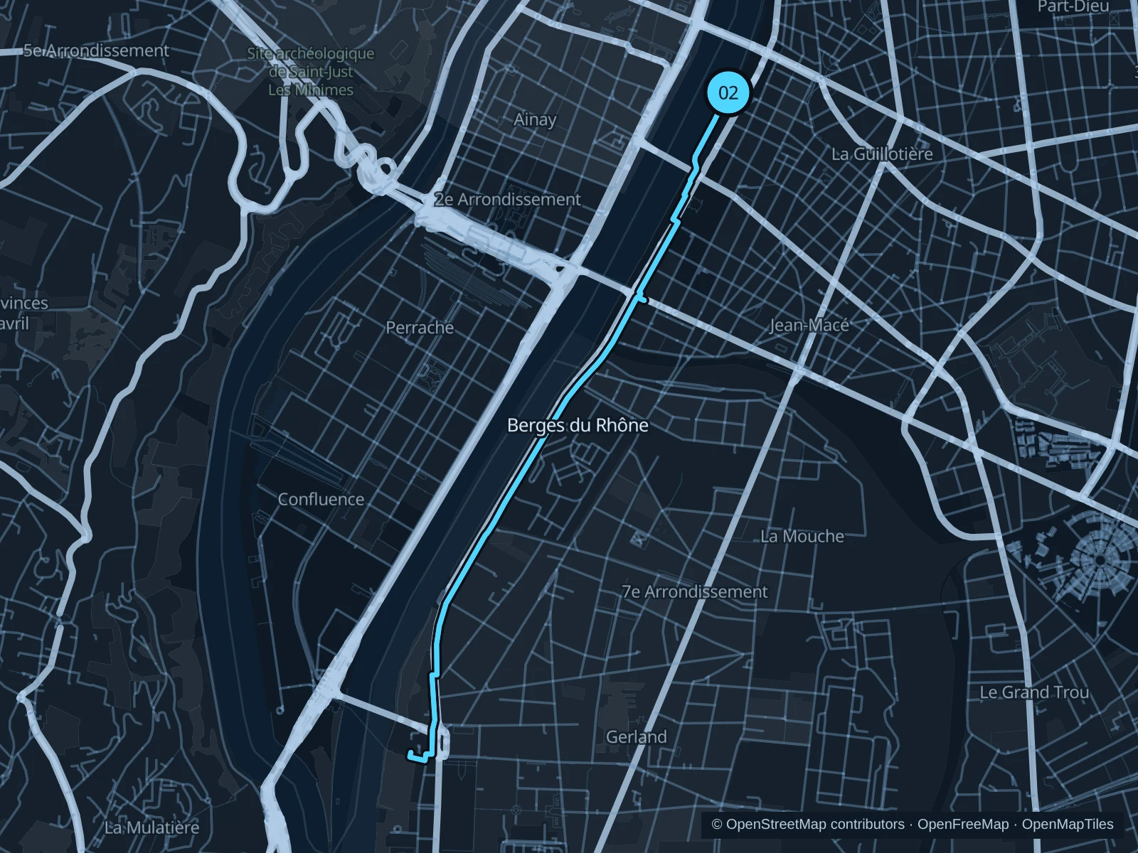
Map of the 6.2 km Berges du Rhône run, with start and finish marked 02.
02 Out & backOpen full-size map
Approx. distance6.2 km
Underfoot

Paved waterfront paths

02

Start here

Public lower riverbank path beside Pont de la Guillotière, on the eastern bank.

Follow the mapped paths toward the marked riverbank turnaround north of Gerland, then return along the same route.

Getting there

Use Guillotière station or walk across from Bellecour, then descend to the public riverbank path.

Before you go

Stay on pedestrian space beside the cycle route and watch for people crossing from the barges. River levels or construction can close the lower paths; respect diversions. Slow to a walk at gates and barriers.

Park / route information

Get running directions on your phone

Parc de Gerland Henry Chabert

A quieter southern park circuit between open lawns, planted paths and the Rhône side.

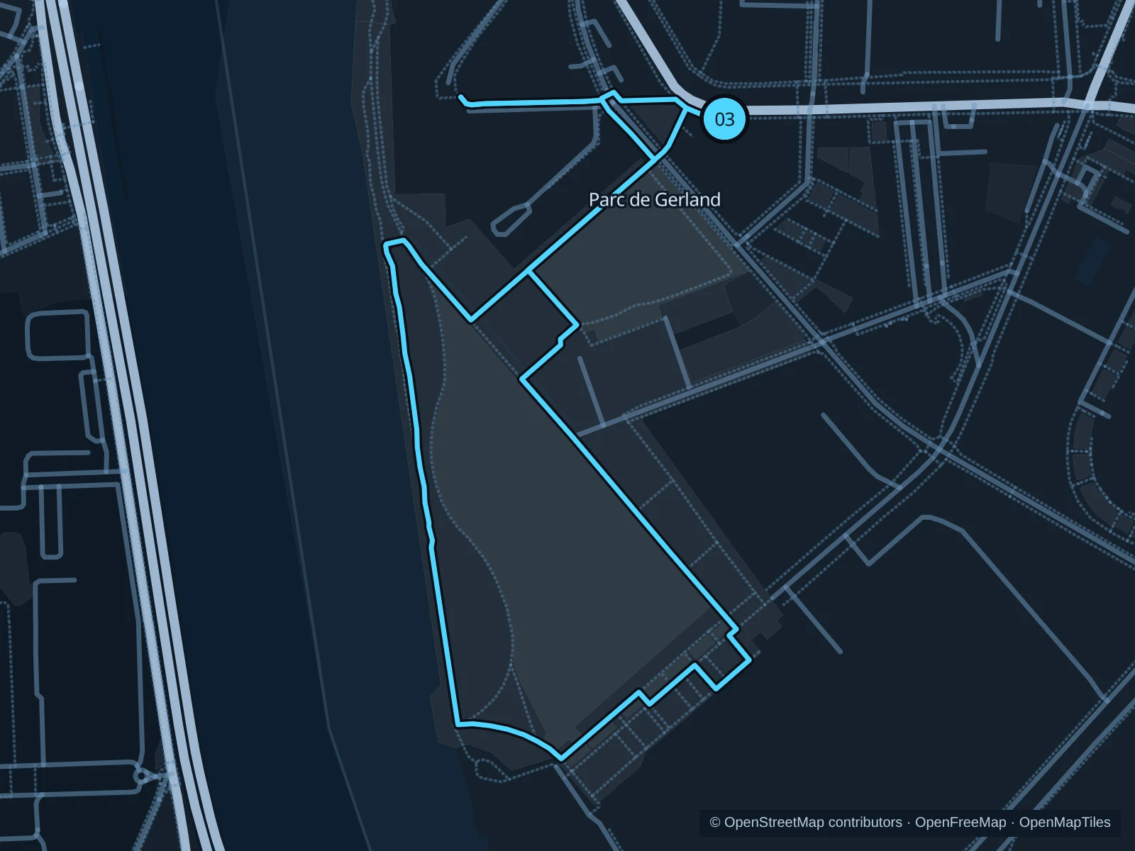
Map of the 2.7 km Parc de Gerland Henry Chabert run, with start and finish marked 03.
03 LoopOpen full-size map
Approx. distance2.7 km
Underfoot

Park paths, paved and unpaved

03

Start here

Public northeastern park path off Allée Pierre-de-Coubertin.

Circle the public park lawns by the Rhône side, round the southern paths and return to the northeastern entrance.

Getting there

Use local transport toward Stade de Gerland, then walk along Allée Pierre-de-Coubertin to the public park.

Before you go

Keep clear of sports courts and event compounds. Open lawns can be hot in summer; stick to shaded paths and check current entrance notices. Slow to a walk at gates and barriers.

Park / route information

Get running directions on your phone

Get running directions on your phone

Choose a distance and start at your hotel. RunFromHere plans a loop back to your door and guides you along it. Download the area’s map before you leave to use it offline.

The app generates its own routes from your chosen start; it doesn’t open the routes in this guide.

More places to run

Rives de Saône

A second riverside corridor, useful when staying near Vieux Lyon. Choose a public-bank section and check flood or construction notices before extending north.

Park / route information

Parc de la Feyssine

A more wooded alternative beyond Tête d’Or. Travel directly to a public entrance and keep to signed paths around the river landscape.

Park / route information

Sources & route notes

Researched using the official visitor and park sources below; not checked on foot. Maps and GPX files use the same saved OpenStreetMap pedestrian paths. Distances are approximate. Check local notices for access, gate hours and diversions.

Researched