Skip to routes
RunFromHere
Get the app
English
Illustrated panorama of Los Angeles in white linework.

Los Angeles

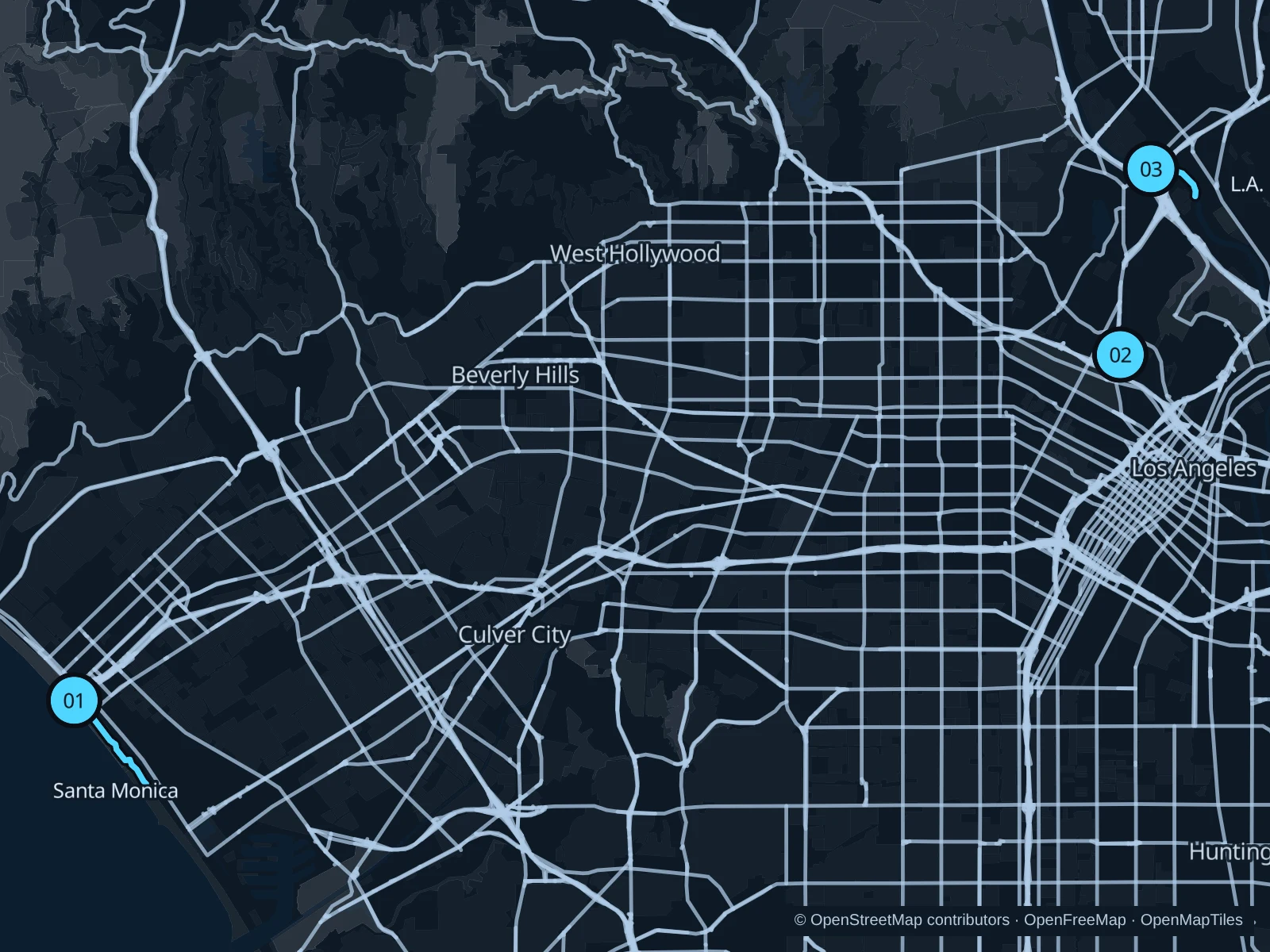
Los Angeles’s running spots are spread far apart. If you’re staying in Santa Monica, take the oceanfront walk; Echo Park works for a short lake run, and the upper-bank L.A. River path gives you more distance.

Get running directions on your phone

Find a route near your hotel

The numbers mark each start. Distances exclude the journey from your accommodation.

Map data: © OpenStreetMap contributors · OpenFreeMap · OpenMapTiles

Where to run in Los Angeles

Santa Monica · Ocean Front Walk

The pedestrian promenade passes beach courts and low-rise cafes south of the pier.
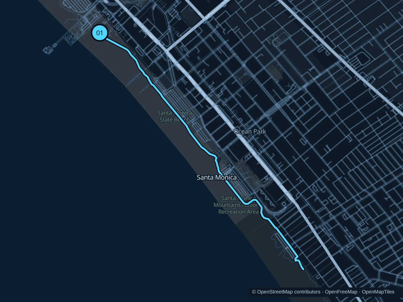
Map of the 4.9 km Santa Monica · Ocean Front Walk run, with start and finish marked 01.
01 Out & backOpen full-size map
Approx. distance4.9 km
Underfoot

Paved pedestrian paths

01

Start here

On Ocean Front Walk just south of Santa Monica Pier.

Follow Ocean Front Walk south past Ocean Park to the northern Venice boardwalk near Sunset Avenue, then return along the same promenade.

Getting there

Walk from the Downtown Santa Monica Metro station to the signed public path.

Before you go

Use the pedestrian promenade, leaving the separate bike path clear; expect pier crowds.

Park / route information

Get running directions on your phone
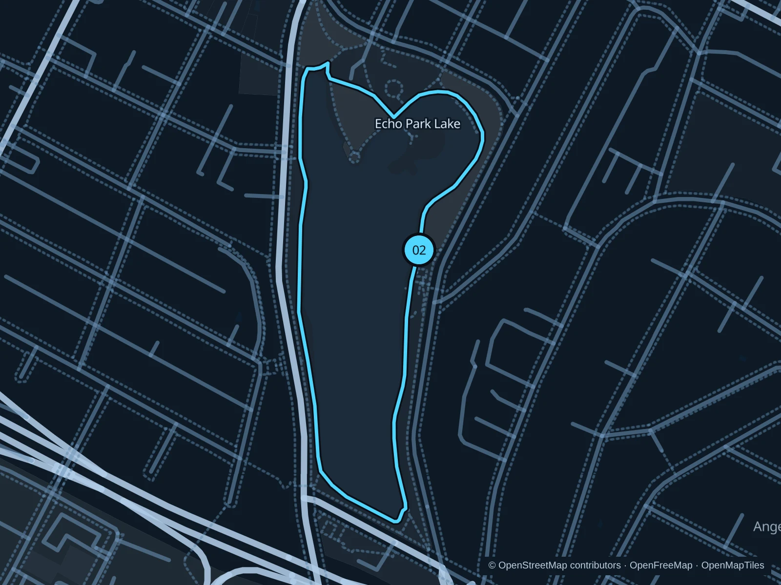
Echo Park Lake

A short lake circuit suits an easy outing before heading into downtown Los Angeles.

Map of the 1.4 km Echo Park Lake run, with start and finish marked 02.
02 LoopOpen full-size map
Approx. distance1.4 km
Underfoot

Paved pedestrian paths

02

Start here

At the Echo Park Avenue entrance by the boathouse.

Follow the public path around the lake and return to the boathouse-side entrance.

Getting there

Walk from the bus stops on Sunset Boulevard at Echo Park Avenue to the public lake path beside the boathouse.

Before you go

Check posted gate hours and slow down by the boathouse and busy lake edges.

Park / route information

Get running directions on your phone

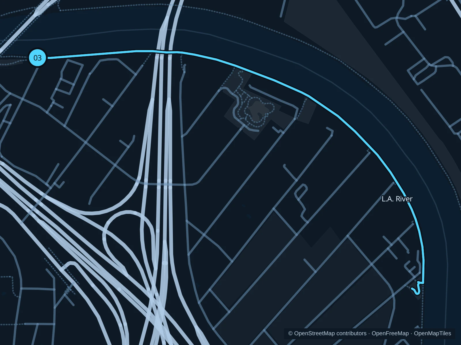
L.A. River · Elysian Valley

The upper-bank path follows the river’s greener Glendale Narrows section past small neighborhood access parks.

Map of the 2.6 km L.A. River · Elysian Valley run, with start and finish marked 03.
03 Out & backOpen full-size map
Approx. distance2.6 km
Underfoot

Paved paths shared with walkers and cyclists

03

Start here

At the Rattlesnake Park path entrance at Fletcher Drive.

Follow the L.A. River path to Elysian Valley Gateway Park, then return the same way.

Getting there

Walk from the Fletcher Drive bus stops to the signed public path.

Before you go

Stay above the river channel, share the path with cyclists and turn back at flood or closure signs.

Park / route information

Get running directions on your phone

Get running directions on your phone

Choose a distance and start at your hotel. RunFromHere plans a loop back to your door and guides you along it. Download the area’s map before you leave to use it offline.

The app generates its own routes from your chosen start; it doesn’t open the routes in this guide.

More places to run

Sources & route notes

Researched using the official visitor and park sources below; not checked on foot. Maps and GPX files use the same saved OpenStreetMap pedestrian paths. Distances are measured from that geometry and rounded for display; actual running distance can vary. Check local notices for access, gate hours and diversions.

Researched