Skip to routes
RunFromHere
Get the app
English
Illustrated panorama of Las Vegas in white linework.

Las Vegas

For a steady run in Las Vegas, heading to a park is usually more practical than running the crowded Strip. Sunset Park is near the airport; the Wetlands and Floyd Lamb Park offer longer outings elsewhere in the valley.

Get running directions on your phone

Find a route near your hotel

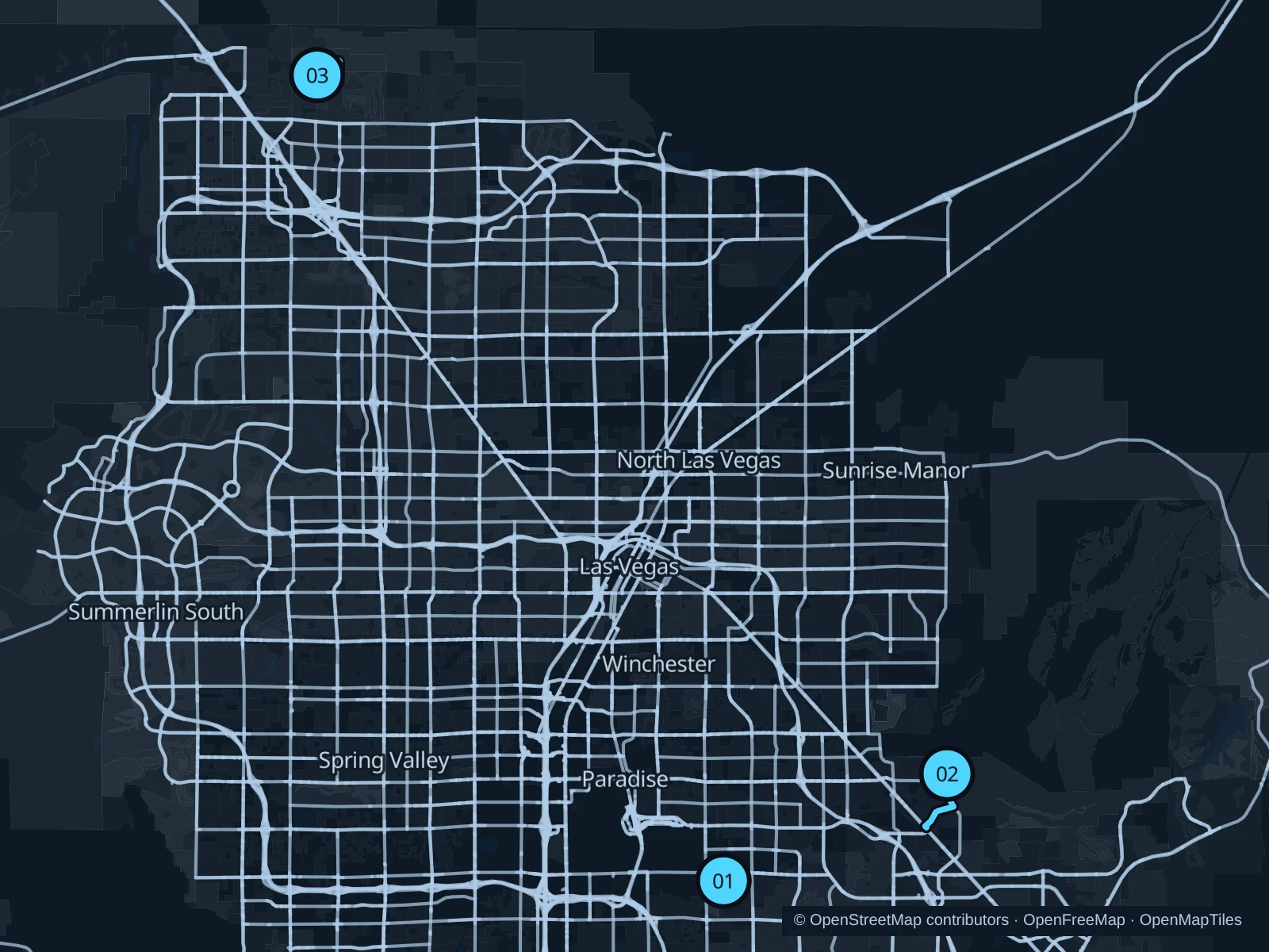
The numbers mark each start. Distances exclude the journey from your accommodation.

Map data: © OpenStreetMap contributors · OpenFreeMap · OpenMapTiles

Where to run in Las Vegas

Sunset Park

The pond and developed park paths give a shorter outing with nearby recreation facilities.
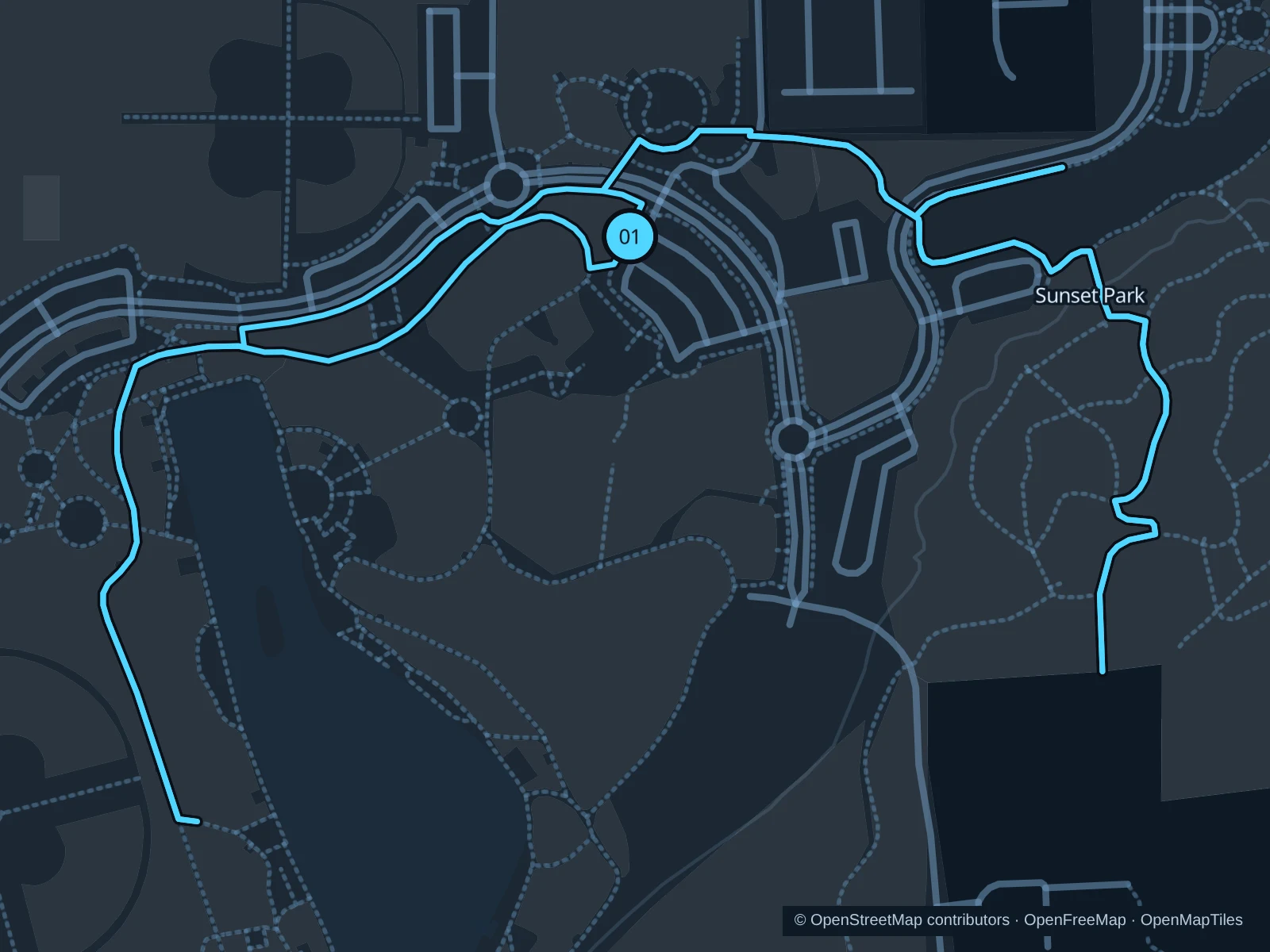
Map of the 3.1 km Sunset Park run, with start and finish marked 01.
01 LoopOpen full-size map
Approx. distance3.1 km
Underfoot

Paved pedestrian paths

01

Start here

On the north-shore pond path in Sunset Park.

Follow the connected northern park paths around the pond and recreation lawns, then return to the north shore.

Getting there

Take RTC route 212 on Sunset Road to the Sunset Park area near Eastern Avenue, or take a taxi to the park, then walk to the pond.

Before you go

Plan for sun and dry air; take water and check event closures before traveling.

Park / route information

Get running directions on your phone
Clark County Wetlands Park

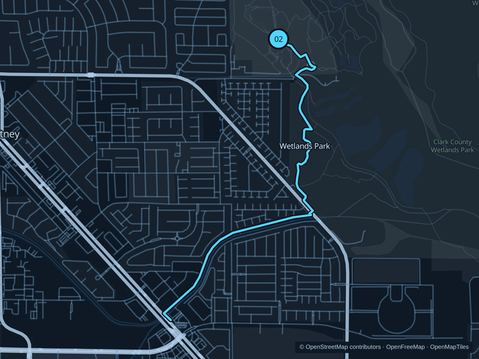
A longer out-and-back links the Nature Preserve’s ponds with Duck Creek Trail, away from the casino corridors.

Map of the 6.0 km Clark County Wetlands Park run, with start and finish marked 02.
02 Out & backOpen full-size map
Approx. distance6.0 km
Underfoot

Paved paths and compacted natural surfaces

02

Start here

At the Mesquite Way walking-trail junction just northeast of Wetlands Park Nature Center.

Follow the Nature Preserve’s public paths south to the Duck Creek Trail and its trailhead, then return along the same route. Do not attempt the full Wetlands Loop Trail.

Getting there

Take a taxi or drive to the Wetlands Park Nature Center, then use the public trail entrance.

Before you go

Use signed public trails in daylight; the full Wetlands Loop is not continuously passable.

Park / route information

Get running directions on your phone

Floyd Lamb Park

Lakes and old ranch grounds offer a greener setting for a park visit away from the resort corridor.

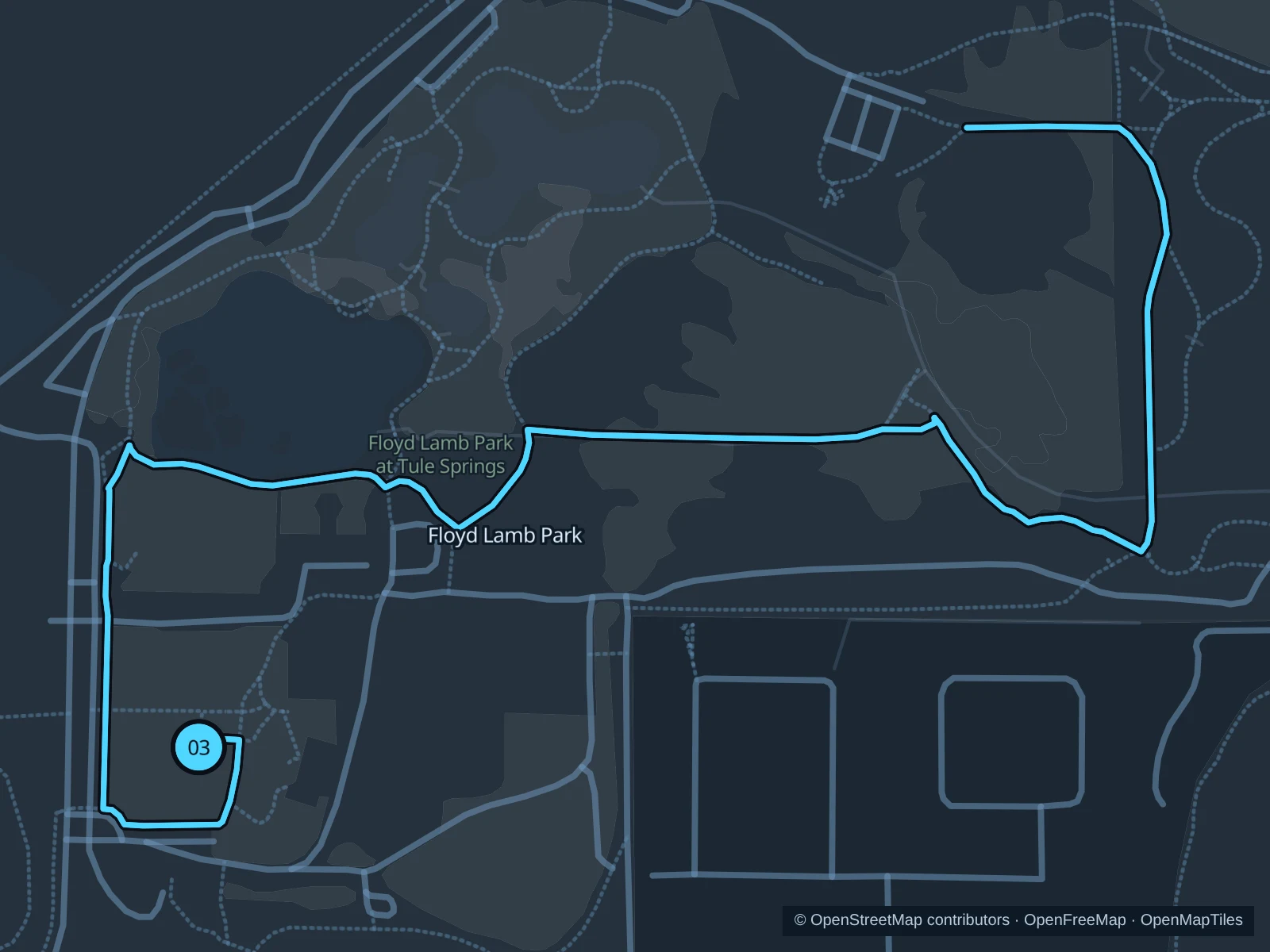
Map of the 3.9 km Floyd Lamb Park run, with start and finish marked 03.
03 Out & backOpen full-size map
Approx. distance3.9 km
Underfoot

Paved paths and compacted natural surfaces

03

Start here

At the public pond path near the historic Tule Springs Ranch area.

Follow the public pond paths northeast to the trail junction shown as the turnaround on the saved map, beyond the ponds, then retrace the same paths.

Getting there

Take a taxi or drive to Floyd Lamb Park via Tule Springs Road. Check gate hours and vehicle fees before the trip.

Before you go

Check admission and gate times; stay on formal paths and give wildlife room.

Park / route information

Get running directions on your phone

Get running directions on your phone

Choose a distance and start at your hotel. RunFromHere plans a loop back to your door and guides you along it. Download the area’s map before you leave to use it offline.

The app generates its own routes from your chosen start; it doesn’t open the routes in this guide.

More places to run

Sources & route notes

Researched using the official visitor and park sources below; not checked on foot. Maps and GPX files use the same saved OpenStreetMap pedestrian paths. Distances are measured from that geometry and rounded for display; actual running distance can vary. Check local notices for access, gate hours and diversions.

Researched