Skip to routes
RunFromHere
Get the app
English
Illustrated panorama of Las Palmas de Gran Canaria in white linework.

Las Palmas de Gran Canaria

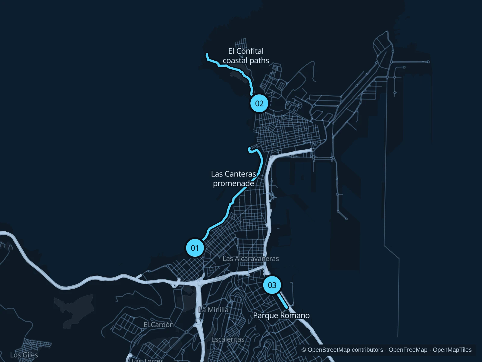
Las Canteras gives you a promenade run beside the beach hotels. El Confital adds rougher coastal paths on the northwest side of La Isleta; Parque Romano offers a greener outing near Ciudad Jardín.

Get running directions on your phone

Find a route near your hotel

The numbers mark each start. Distances exclude the journey from your accommodation.

Map data: © OpenStreetMap contributors · OpenFreeMap · OpenMapTiles

Where to run in Las Palmas de Gran Canaria

Las Canteras promenade

An urban beachfront run along the pedestrian promenade from La Cícer toward La Puntilla at the northern end of Las Canteras.
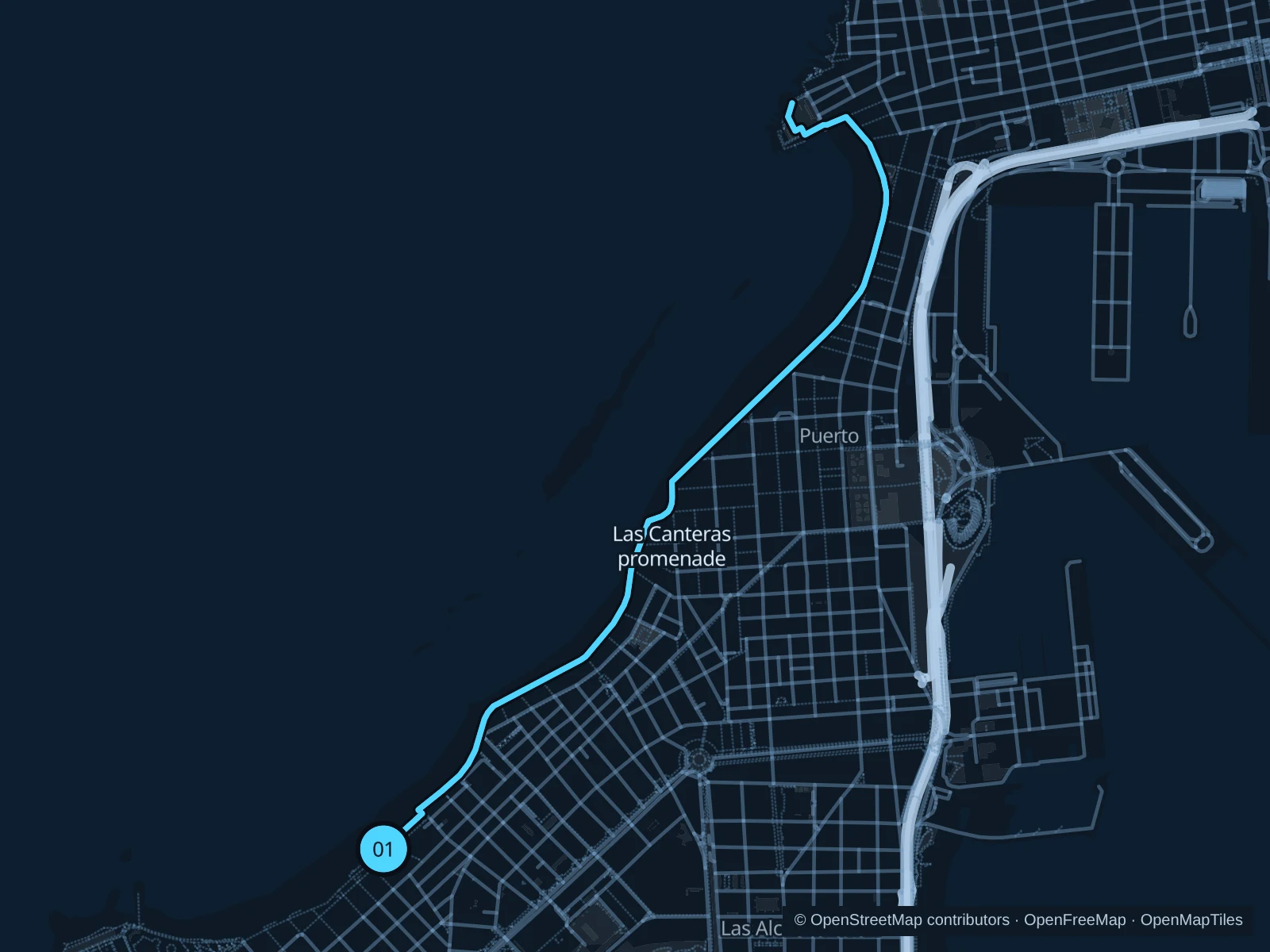
Map of the 5.2 km Las Canteras promenade run, with start and finish marked 01.
01 Out & backOpen full-size map
Approx. distance5.2 km
Underfoot

Paved paths

01

Start here

Public Paseo Las Canteras at the La Cícer beach access.

Follow the public promenade north past Plaza del Poeta Saulo Torón toward La Puntilla, then return the same way.

Getting there

Walk from Guanarteme or your beach hotel onto the public promenade.

Before you go

Go early for more space. Café terraces, beach crossings and sand can interrupt the run; respect coastal closures.

Park / route information

Get running directions on your phone
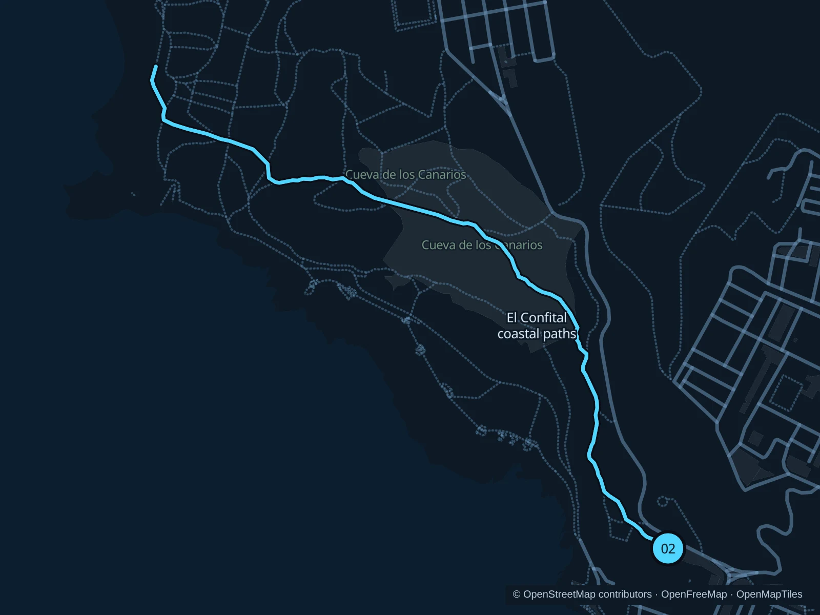
El Confital coastal paths

Leave the urban promenade for a more exposed volcanic coastal outing.

Map of the 3.1 km El Confital coastal paths run, with start and finish marked 02.
02 Out & backOpen full-size map
Approx. distance3.1 km
Underfoot

Rocky and compacted coastal paths

02

Start here

Public El Confital path entrance beyond Calle Coronel Rocha in La Isleta.

Follow the mapped route toward the public coastal paths at El Confital, then return the same way.

Getting there

Travel to La Isleta and walk to the signed El Confital trail entrance beyond Coronel Rocha.

Before you go

Carry water and go in daylight. Walk over uneven volcanic rock, and stay on marked public paths and out of military zones and protected off-trail areas.

Park / route information

Get running directions on your phone

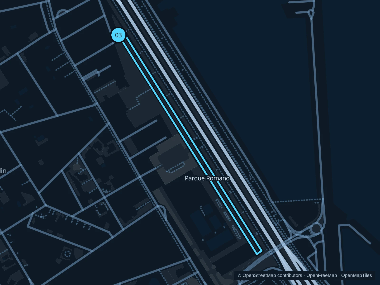
Parque Romano · two laps

Two short laps in the public outdoor sports park, away from the beach promenade.

Map of the 2.1 km Parque Romano · two laps run, with start and finish marked 03.
03 LoopOpen full-size map
Approx. distance2.1 km
Underfoot

Compacted running track

03

Start here

Public northwestern end of the Parque Romano running circuit, near Terracera León y Castillo.

Run two laps of the public park paths and return to the Terracera León y Castillo starting point.

Getting there

Travel to Ciudad Jardín and walk to Parque Romano on Terracera León y Castillo.

Before you go

Share the paths with other runners and outdoor-gym users. Stay out of adjoining sports-club grounds and slow down at busy park entrances.

Park / route information

Get running directions on your phone

Get running directions on your phone

Choose a distance and start at your hotel. RunFromHere plans a loop back to your door and guides you along it. Download the area’s map before you leave to use it offline.

The app generates its own routes from your chosen start; it doesn’t open the routes in this guide.

More places to run

Parque Santa Catalina

Central public paths near the cruise port suit a short warm-up; fairs and concerts often use the open square.

Park / route information

Parque Doramas

Garden paths beside Pueblo Canario suit a short easy outing near Ciudad Jardín; give garden visitors priority.

Park / route information

Sources & route notes

Researched using the official visitor and park sources below; not checked on foot. Maps and GPX files use the same saved OpenStreetMap pedestrian paths. Distances are approximate. Check local notices for access, gate hours and diversions.

Researched