Skip to routes
RunFromHere
Get the app
English
Illustrated panorama of Istanbul in white linework.

Istanbul

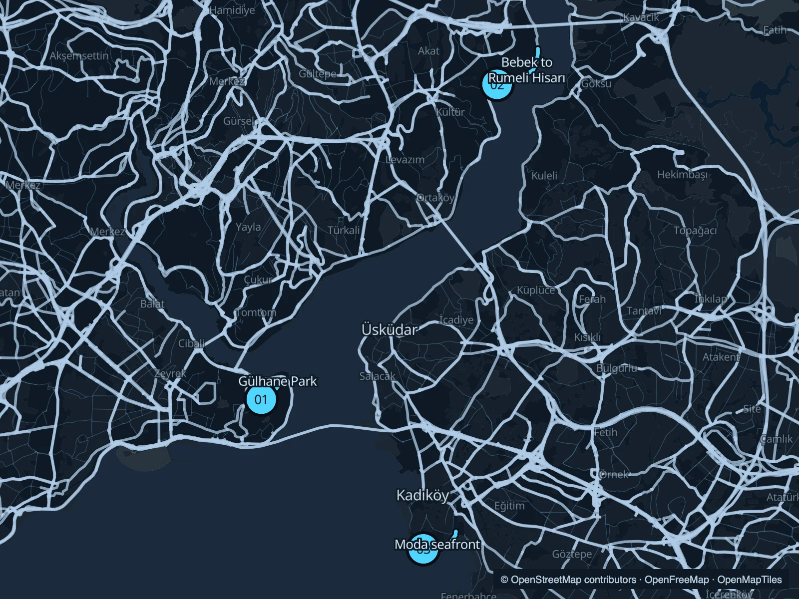
For a short run near Sultanahmet, start with Gülhane Park. For water views, choose a shore: Bebek on the Bosphorus or Moda on the Asian side. Getting across Istanbul can take longer than the run, so keep the route on your side of the city when time is tight.

Get running directions on your phone

Find a route near your hotel

The numbers mark each start. Distances exclude the journey from your accommodation.

Map data: © OpenStreetMap contributors · OpenFreeMap · OpenMapTiles

Where to run in Istanbul

Gülhane Park

A short garden circuit beside the historic peninsula’s busiest sights. Trees and curving paths make it a useful warm-up or easy run.
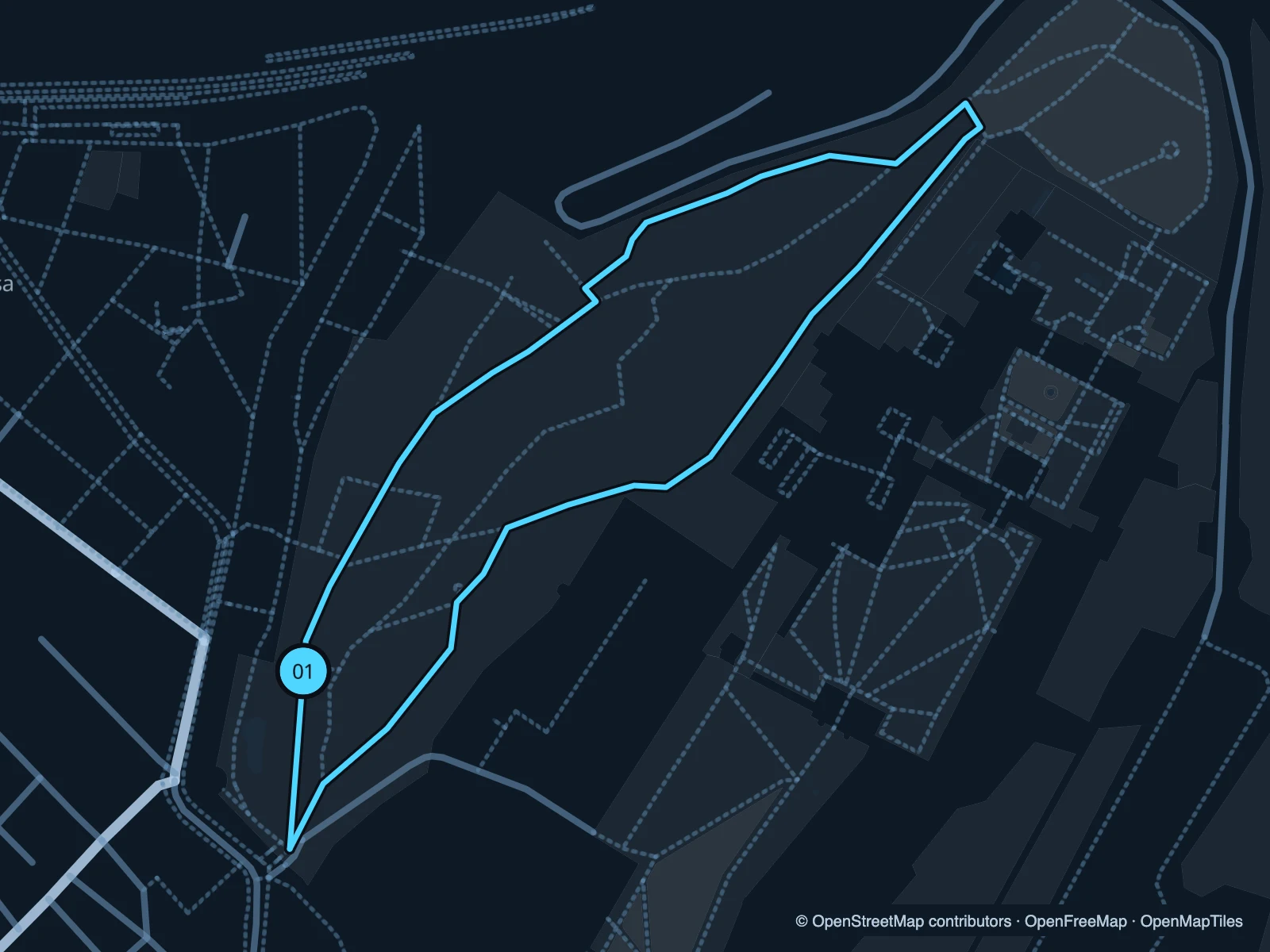
Map of the 1.4 km Gülhane Park run, with start and finish marked 01.
01 LoopOpen full-size map
Approx. distance1.4 km
Underfoot

Paved park paths

01

Start here

Inside the southern park entrance near the Gülhane tram stop.

Follow the main garden paths north, loop through the park and return south.

Getting there

Walk from Gülhane tram stop to the public park entrance.

Before you go

Check gate notices and keep the pace easy near tour groups. The route does not enter Topkapı Palace.

Park / route information

Get running directions on your phone
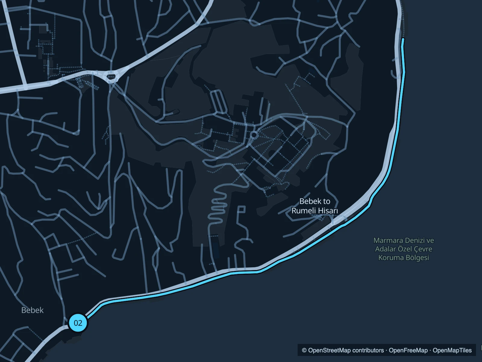
Bebek to Rumeli Hisarı

A short stretch of the European Bosphorus shore, with boats and the opposite bank in view.

Map of the 2.9 km Bebek to Rumeli Hisarı run, with start and finish marked 02.
02 Out & backOpen full-size map
Approx. distance2.9 km
Underfoot

Paved waterfront

02

Start here

On the public waterfront just east of Bebek Park.

Follow the shoreline northeast towards Rumeli Hisarı and retrace it.

Getting there

Approach via Bebek’s waterfront bus stops or walk down from the neighbourhood.

Before you go

The pavement narrows at busy stretches. Walk past crowds and keep clear of fishing lines and moorings.

Park / route information

Get running directions on your phone

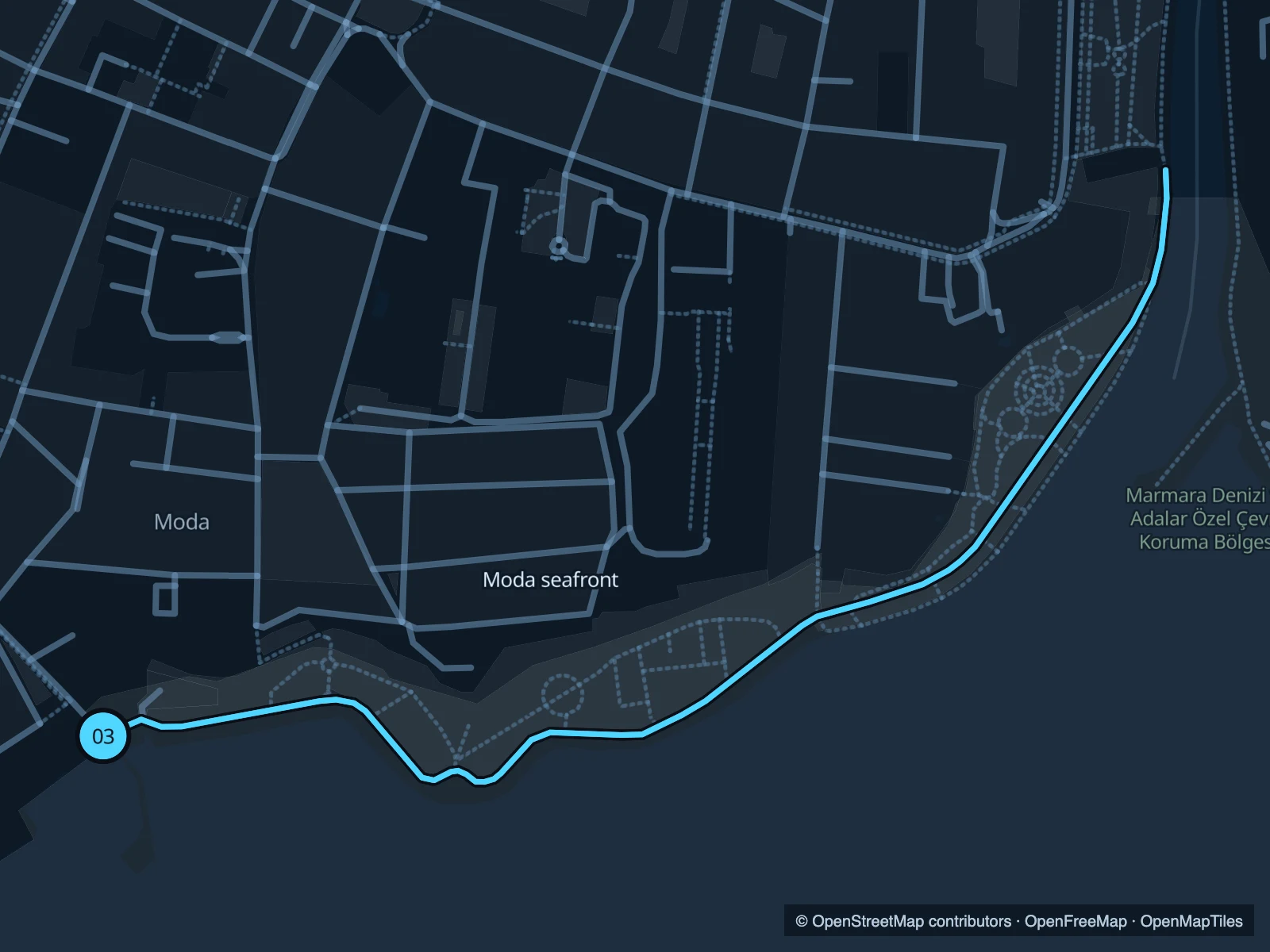
Moda seafront

A compact out-and-back along the public coastal path, with the sea beside the lawns of Moda.

Map of the 2.1 km Moda seafront run, with start and finish marked 03.
03 Out & backOpen full-size map
Approx. distance2.1 km
Underfoot

Paved pedestrian and shared coastal paths

03

Start here

On Moda Sahil Yolu near the Moda pier approach.

Follow the shore east towards the coastal park, then return before the inland river section.

Getting there

Walk through Moda from Kadıköy’s ferry and metro area to the coast.

Before you go

Stay on the pedestrian side of divided paths. Evenings and weekends can be busy.

Park / route information

Get running directions on your phone

Get running directions on your phone

Choose a distance and start at your hotel. RunFromHere plans a loop back to your door and guides you along it. Download the area’s map before you leave to use it offline.

The app generates its own routes from your chosen start; it doesn’t open the routes in this guide.

More places to run

Sources & route notes

Researched using the official visitor and park sources below; not checked on foot. Maps and GPX files use the same saved OpenStreetMap pedestrian paths. Distances are approximate. Check local notices for access, gate hours and diversions.

Researched