Skip to routes
RunFromHere
Get the app
English
Illustrated panorama of Innsbruck in white linework.

Innsbruck

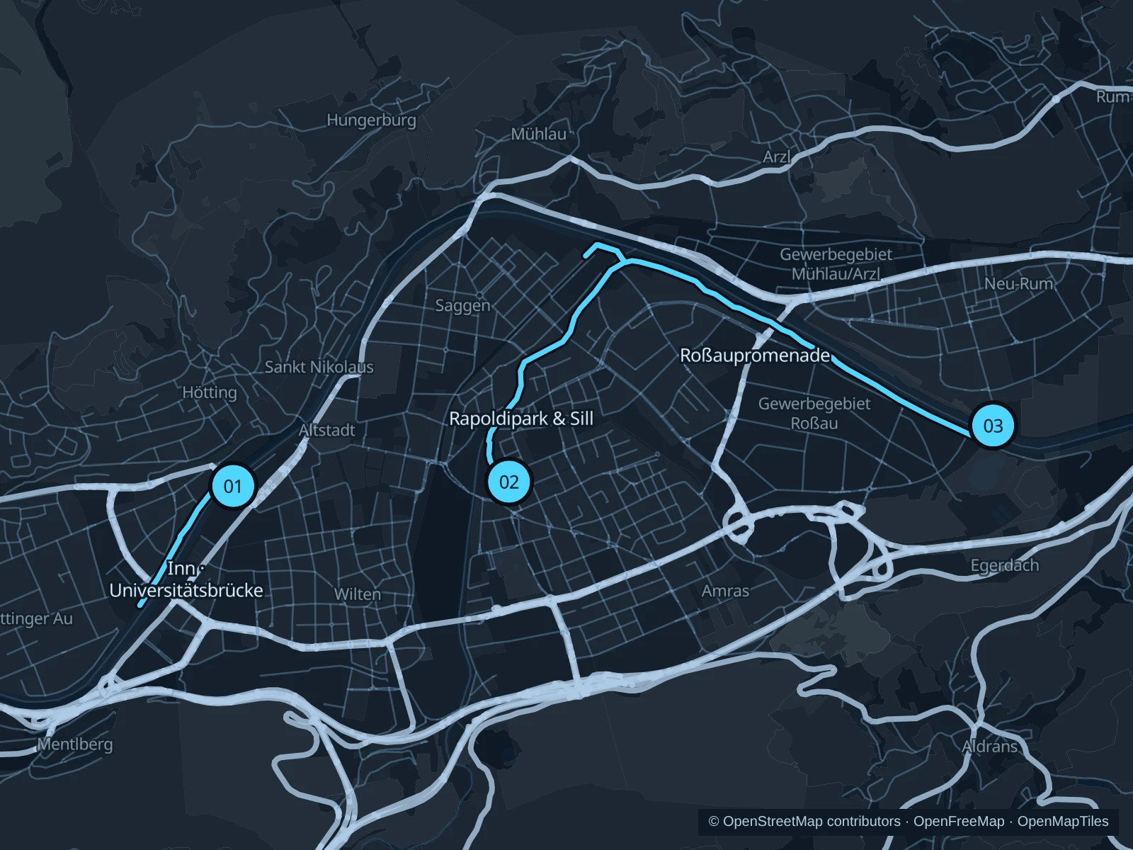
You can run beside the Inn without climbing into the mountains. The Sill and Rapoldipark add another riverside option; Roßaupromenade works well if you're staying east of the center.

Get running directions on your phone

Find a route near your hotel

The numbers mark each start. Distances exclude the journey from your accommodation.

Map data: © OpenStreetMap contributors · OpenFreeMap · OpenMapTiles

Where to run in Innsbruck

Inn · Universitätsbrücke

A short river outing with mountain views, without a mountain ascent.
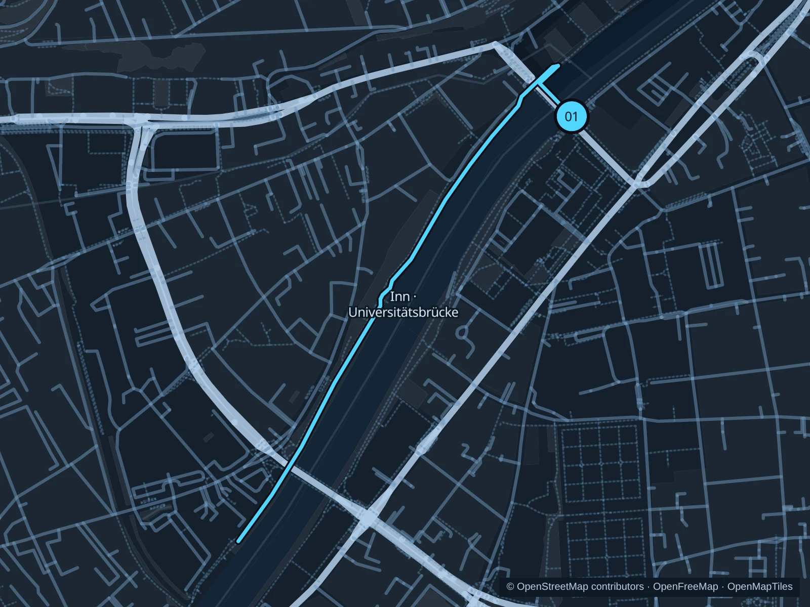
Map of the 2.3 km Inn · Universitätsbrücke run, with start and finish marked 01.
01 Out & backOpen full-size map
Approx. distance2.3 km
Underfoot

Paved waterfront paths

01

Start here

Arthur-Haidl-Promenade on the northwestern side of Universitätsbrücke.

Follow the public promenade southwest along the Inn, then return the same way.

Getting there

Walk from the Klinik/Universität public transport stop to Universitätsbrücke and cross to the northern bank.

Before you go

Use the pedestrian side of shared paths. Snow, ice and construction along the river can change access.

Park / route information

Get running directions on your phone
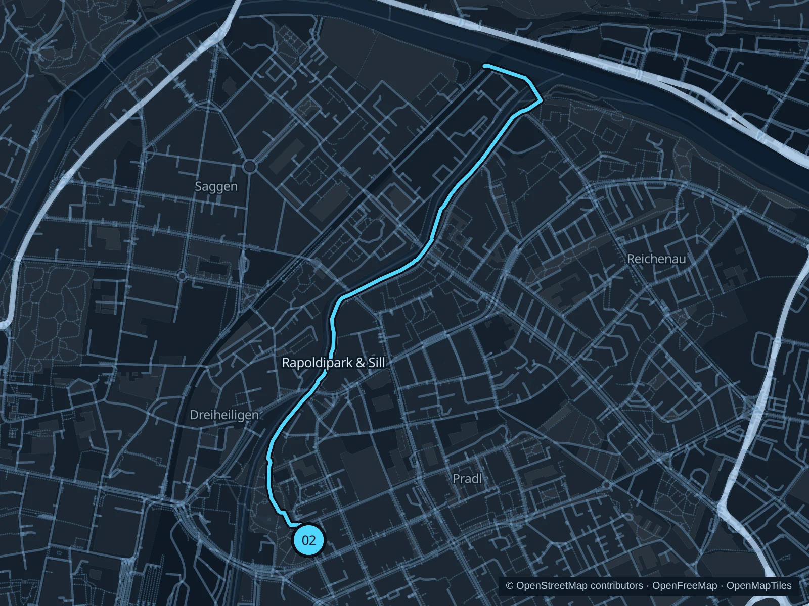
Rapoldipark & Sill

Park greenery gives way to the Sill before it meets the Inn.

Map of the 4.0 km Rapoldipark & Sill run, with start and finish marked 02.
02 Out & backOpen full-size map
Approx. distance4.0 km
Underfoot

Park paths, paved and unpaved

02

Start here

Public Sill-side path at the northern Rapoldipark edge.

Follow the mapped route toward the Sill–Inn confluence, then return along the same route.

Getting there

Walk from Sillpark or the main station to Rapoldipark.

Before you go

Some connections pass under roads or railways. Walk any steps, and turn back if the riverside route is closed.

Park / route information

Get running directions on your phone

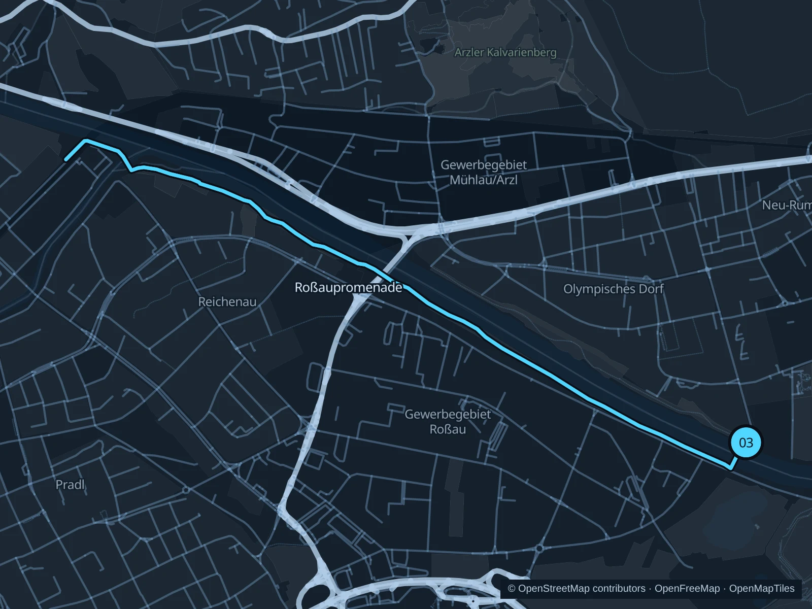
Roßaupromenade

Open river paths near Baggersee offer a separate eastern starting point.

Map of the 5.9 km Roßaupromenade run, with start and finish marked 03.
03 Out & backOpen full-size map
Approx. distance5.9 km
Underfoot

Paved waterfront paths

03

Start here

Sepp-Grünbacher-Promenade north of the Baggersee bathing area.

Follow the public Inn paths northwest toward the Sill confluence, then return the same way.

Getting there

Use local transport to Roßau, then walk to the public river promenade.

Before you go

Stay outside the swimming facility, which has separate access rules. Give cyclists and dogs room on the promenade.

Park / route information

Get running directions on your phone

Get running directions on your phone

Choose a distance and start at your hotel. RunFromHere plans a loop back to your door and guides you along it. Download the area’s map before you leave to use it offline.

The app generates its own routes from your chosen start; it doesn’t open the routes in this guide.

More places to run

Sources & route notes

Researched using the official visitor and park sources below; not checked on foot. Maps and GPX files use the same saved OpenStreetMap pedestrian paths. Distances are approximate. Check local notices for access, gate hours and diversions.

Researched