Skip to routes
RunFromHere
Get the app
English
Illustrated panorama of Hong Kong in white linework.

Hong Kong

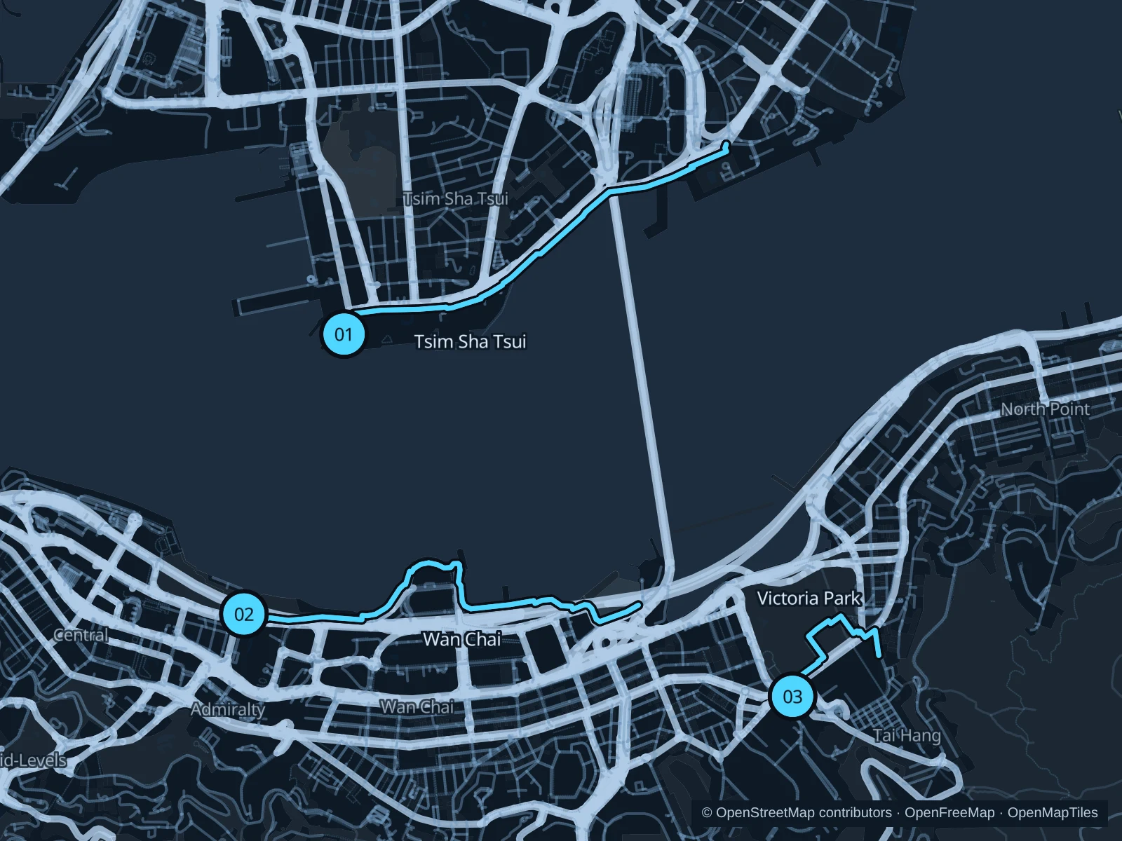
Use the harbourfront for open views and Victoria Park for a shorter run near Causeway Bay. The saved routes stay on public pedestrian paths rather than climbing into the city’s hills.

Get running directions on your phone

Find a route near your hotel

The numbers mark each start. Distances exclude the journey from your accommodation.

Map data: © OpenStreetMap contributors · OpenFreeMap · OpenMapTiles

Where to run in Hong Kong

Tsim Sha Tsui Promenade

Across the water, Hong Kong Island’s towers form the backdrop to this longer promenade run.
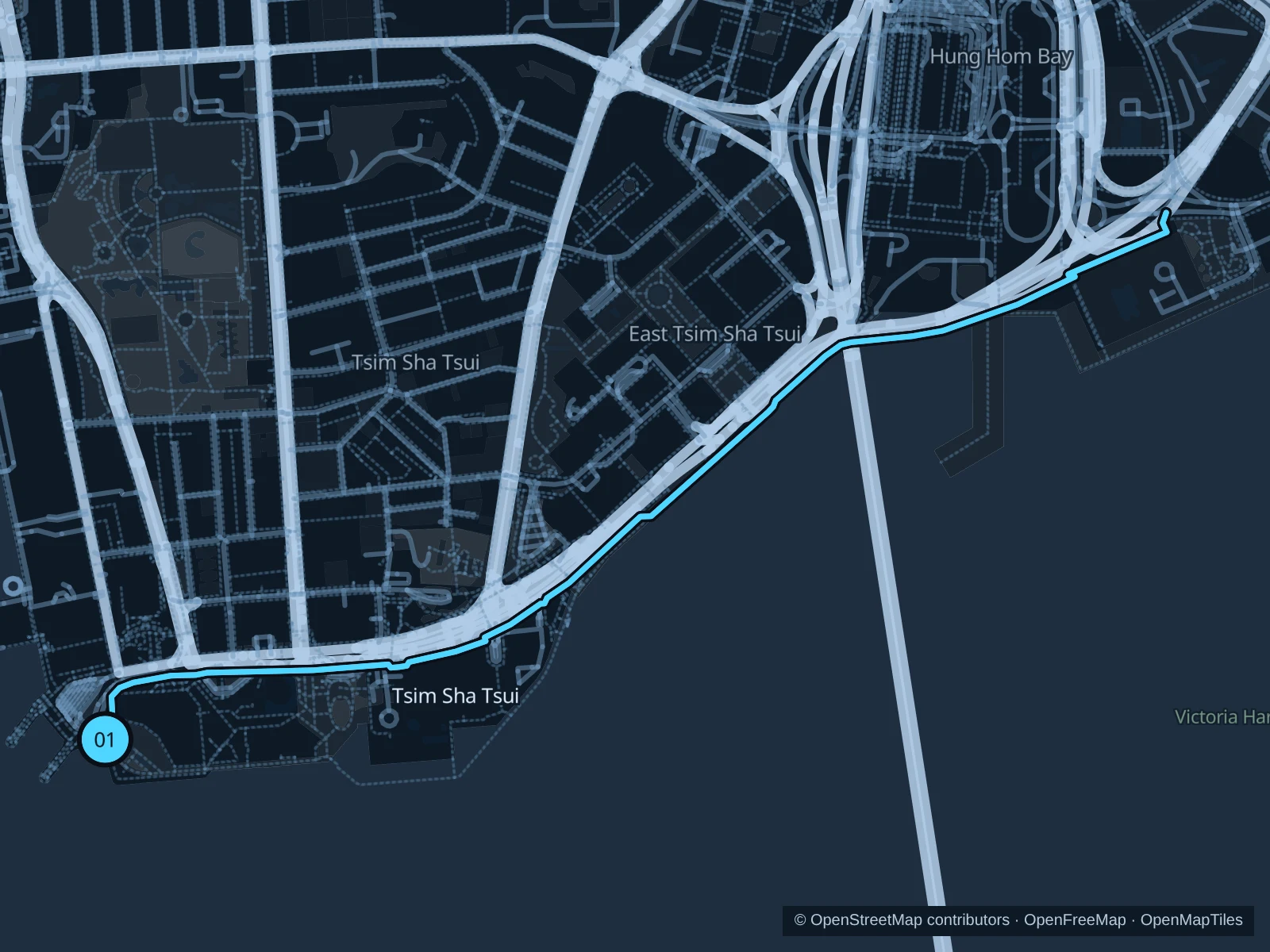
Map of the 4.0 km Tsim Sha Tsui Promenade run, with start and finish marked 01.
01 Out & backOpen full-size map
Approx. distance4.0 km
Underfoot

Paved pedestrian paths

01

Start here

At the Clock Tower waterfront plaza.

Follow the Tsim Sha Tsui Promenade to the Hung Hom waterfront, then return along the same path.

Getting there

Walk from Tsim Sha Tsui or East Tsim Sha Tsui MTR to the signed public path.

Before you go

Go early to avoid sightseeing crowds; slow to a walk past ferry queues and photo stops.

Park / route information

Get running directions on your phone
Central & Wan Chai harbourfront

Broad public waterfront spaces link government buildings, exhibition halls and the busy harbour.

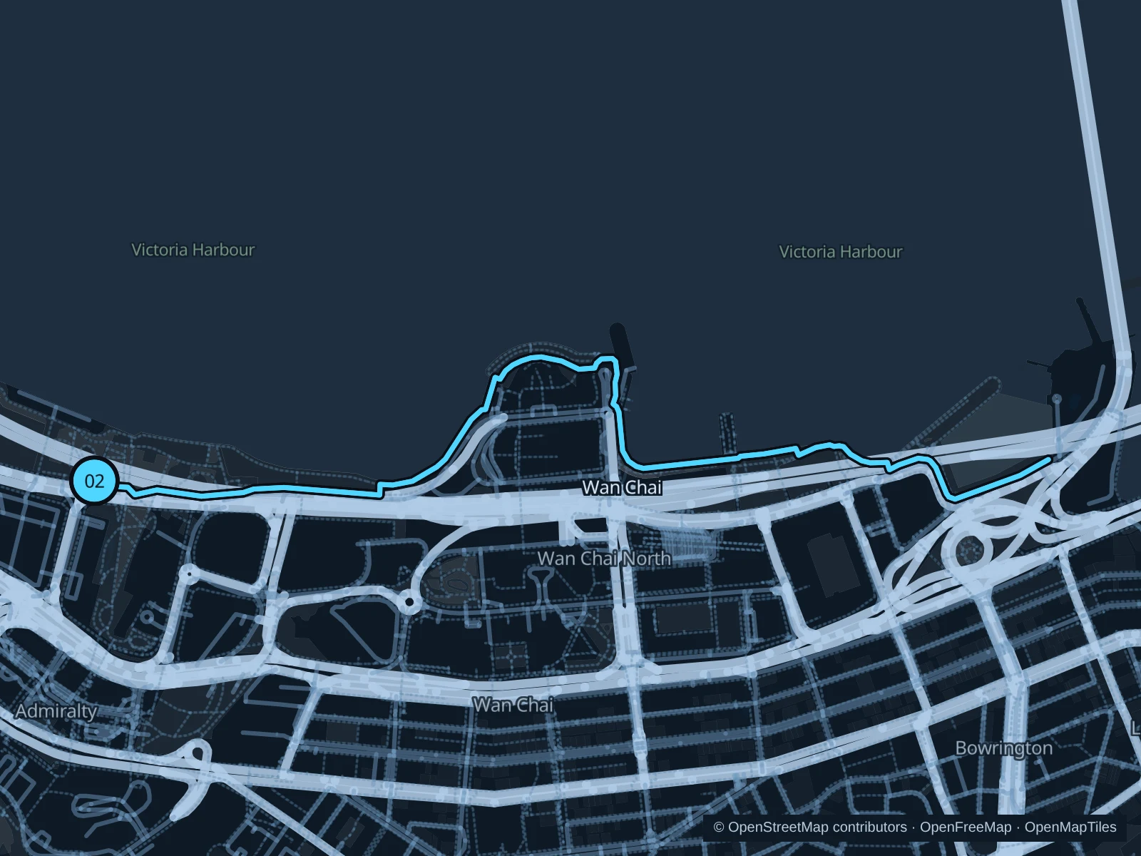
Map of the 4.3 km Central & Wan Chai harbourfront run, with start and finish marked 02.
02 Out & backOpen full-size map
Approx. distance4.3 km
Underfoot

Paved pedestrian paths

02

Start here

On the Tamar Park harbourfront path.

Follow the Central & Wan Chai harbourfront to the Wan Chai waterfront near the typhoon shelter, then return along the same path.

Getting there

Walk from Admiralty MTR to the signed public path.

Before you go

Follow event diversions and shared-space signs; do not enter working ferry piers.

Park / route information

Get running directions on your phone

Victoria Park

A compact green option beside Causeway Bay’s shops, with sports grounds and mature trees.

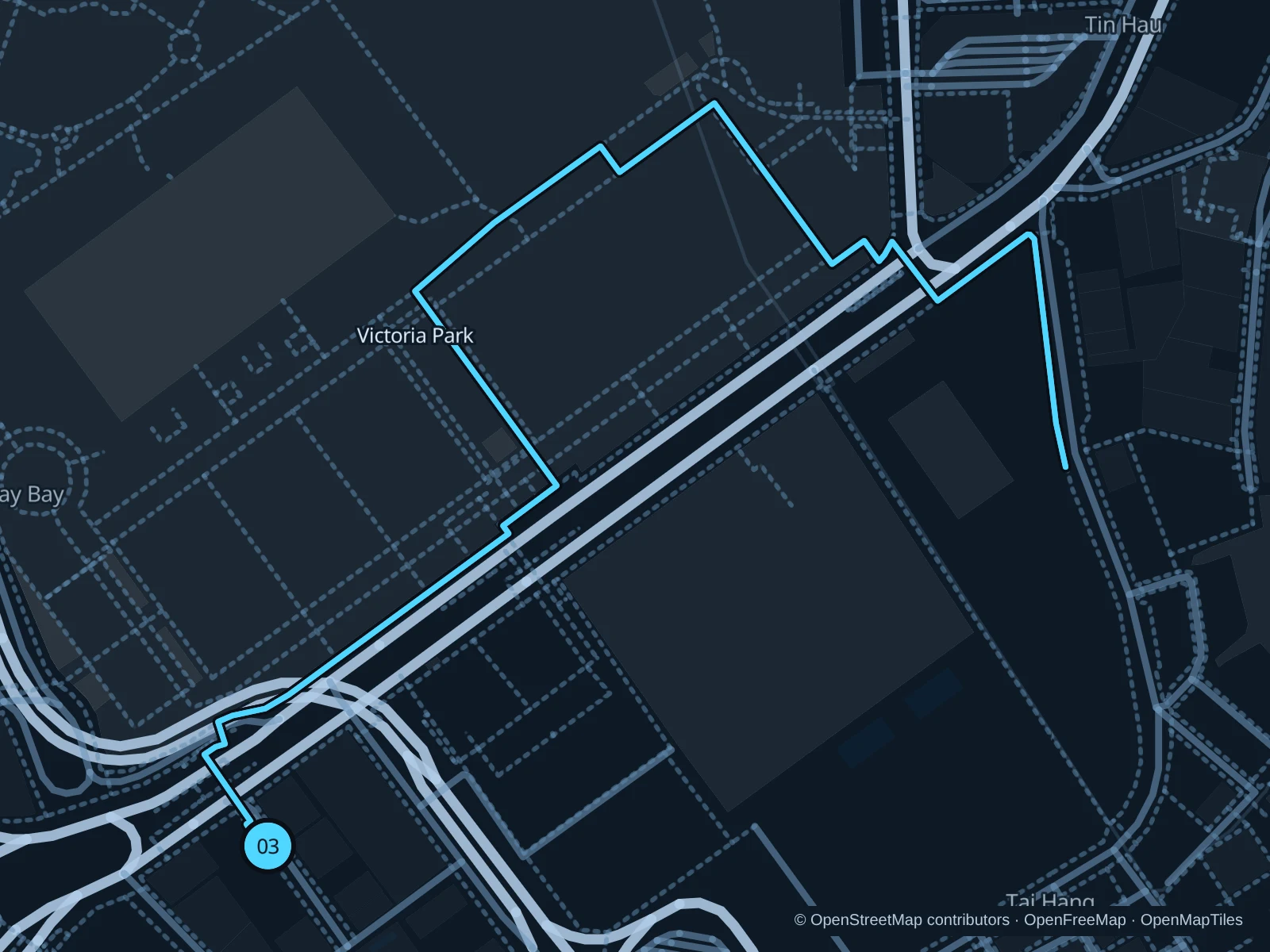
Map of the 1.8 km Victoria Park run, with start and finish marked 03.
03 Out & backOpen full-size map
Approx. distance1.8 km
Underfoot

Paved pedestrian paths

03

Start here

At the Queen Victoria statue entrance, Causeway Road.

Run through Victoria Park to the paths in the north of the park, then return along the same path.

Getting there

Walk from Causeway Bay MTR to the signed public path.

Before you go

Keep to signed jogging areas and leave space around busy sports facilities.

Park / route information

Get running directions on your phone

Get running directions on your phone

Choose a distance and start at your hotel. RunFromHere plans a loop back to your door and guides you along it. Download the area’s map before you leave to use it offline.

The app generates its own routes from your chosen start; it doesn’t open the routes in this guide.

More places to run

Bowen Road

A higher-level alternative above Wan Chai; the approach is uphill, though the trail itself is gentler.

Park / route information

Sources & route notes

Researched using the official visitor and park sources below; not checked on foot. Maps and GPX files use the same saved OpenStreetMap pedestrian paths. Distances are measured from that geometry and rounded for display; actual running distance can vary. Check local notices for access, gate hours and diversions.

Researched