Skip to routes
RunFromHere
Get the app
English
Illustrated panorama of Ho Chi Minh City in white linework.

Ho Chi Minh City

Ho Chi Minh City’s heat and busy streets make parks and public waterside paths useful anchors. Tao Dan offers a short garden run, Bach Dang brings the Saigon River into view, and the canal gives a longer urban outing. Choose cooler hours, carry water and expect shared space rather than a clear training lane.

Get running directions on your phone

Find a route near your hotel

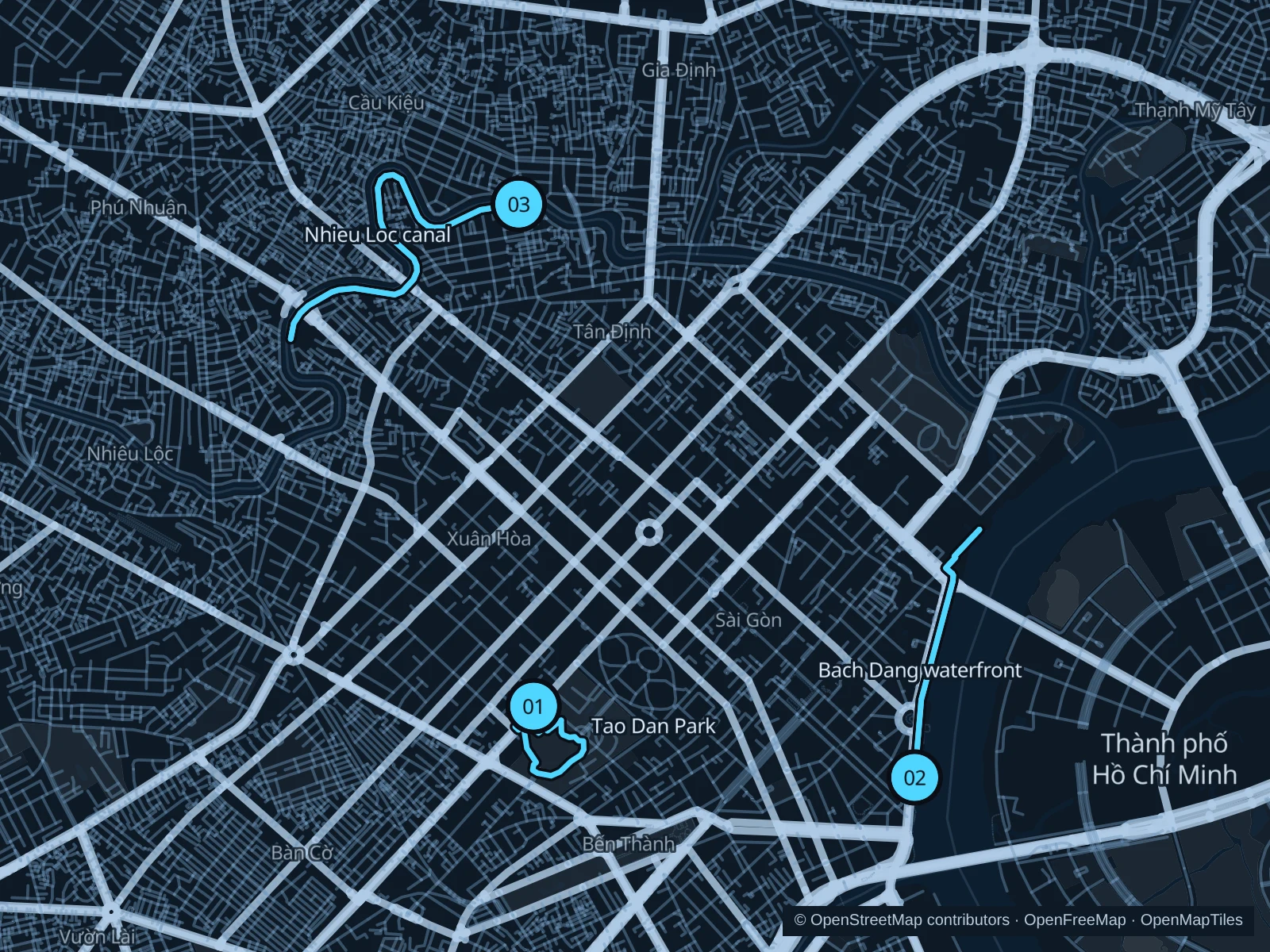
The numbers mark each start. Distances exclude the journey from your accommodation.

Map data: © OpenStreetMap contributors · OpenFreeMap · OpenMapTiles

Where to run in Ho Chi Minh City

Tao Dan · garden paths

A short circuit through the southern garden paths, among mature trees and everyday park life.
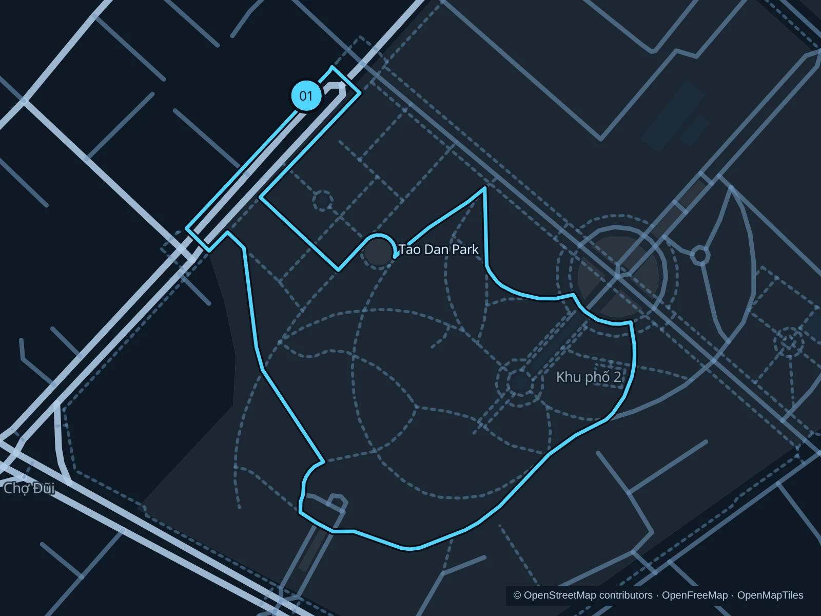
Map of the 1.2 km Tao Dan · garden paths run, with start and finish marked 01.
01 LoopOpen full-size map
Approx. distance1.2 km
Underfoot

Paved park paths and short entrance links

01

Start here

On the northwestern public path of Tao Dan, near Nguyen Thi Minh Khai Street.

Follow the connected garden paths south and east, then return through the park to the northwestern approach.

Getting there

Walk from central hotels or Ben Thanh toward the signed Nguyen Thi Minh Khai park entrance.

Before you go

Leave room for exercise groups and shrine visitors. Stay out of memorial areas and planted beds; festival displays can change the available paths.

Park / route information

Get running directions on your phone
Bach Dang · Saigon River promenade

An out-and-back beside the Saigon River, with open views and busy public quays.

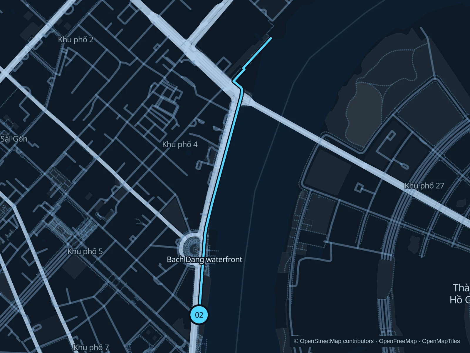
Map of the 2.4 km Bach Dang · Saigon River promenade run, with start and finish marked 02.
02 Out & backOpen full-size map
Approx. distance2.4 km
Underfoot

Paved waterfront footways

02

Start here

On the public Bach Dang promenade beside Ton Duc Thang Street, near the Nguyen Hue approach.

Follow the saved public river path north past the central quay area, then retrace it from the recorded turnaround.

Getting there

Walk from Nguyen Hue using the designated pedestrian crossings to the riverfront.

Before you go

Ferry and tourist-boat boarding areas have separate access. Stay on the public path and follow event barriers; Ton Duc Thang Street behind the promenade carries heavy traffic.

Park / route information

Get running directions on your phone

Nhieu Loc–Thi Nghe · canal path

A longer urban out-and-back following the canal’s bends along the Hoang Sa side.

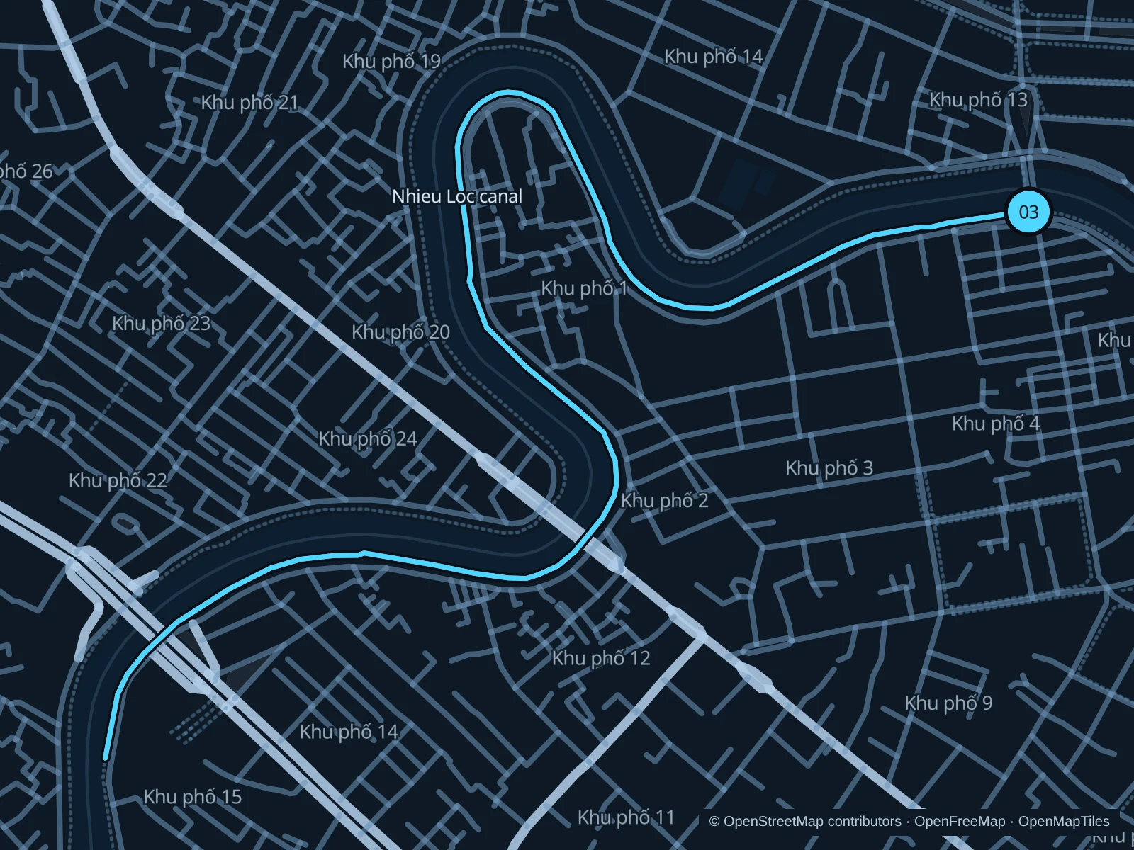
Map of the 3.9 km Nhieu Loc–Thi Nghe · canal path run, with start and finish marked 03.
03 Out & backOpen full-size map
Approx. distance3.9 km
Underfoot

Paved canal-side footpath

03

Start here

On the public canal path on the Hoang Sa side, beside Tran Khanh Du Bridge.

Follow the recorded path west and southwest along the canal bends, then return on the same bank.

Getting there

Take a taxi or local bus toward Tran Khanh Du Bridge, then reach the canal-side footpath using marked crossings.

Before you go

The canal path runs beside urban roads. Watch bridge approaches and vehicle access, leave room for walkers and turn back at any temporary closure rather than stepping into traffic.

Park / route information

Get running directions on your phone

Get running directions on your phone

Choose a distance and start at your hotel. RunFromHere plans a loop back to your door and guides you along it. Download the area’s map before you leave to use it offline.

The app generates its own routes from your chosen start; it doesn’t open the routes in this guide.

More places to run

Gia Dinh Park

A larger leafy alternative near the airport. Roads divide the park areas; choose a circuit within one section and use formal crossings between them.

Park / route information

23/9 Park

Near Ben Thanh and Pham Ngu Lao, this central park is useful for a short outing. Tourism festivals and other events can occupy large sections; check the open paths first.

Park / route information

Sources & route notes

Researched using the official visitor and park sources below; not checked on foot. Maps and GPX files use the same saved OpenStreetMap pedestrian paths. Distances are approximate. Check local notices for access, gate hours and diversions.

Researched