
Skip to routes
RunFromHere
Get the app
English
White line illustration of the Gold Coast skyline, beach and Burleigh headland.

Gold Coast

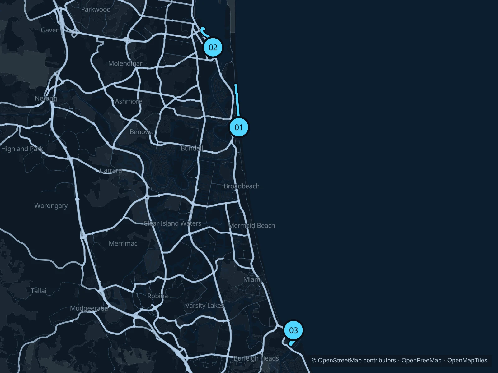
The Gold Coast spreads its accommodation along a long coastline, so start with the area where you are staying. Surfers Paradise offers an easy paved beach run, Southport faces the calmer Broadwater, and Burleigh Head adds a short hilly forest circuit. These are separate outings, rather than one continuous route between the resorts.

Get running directions on your phone

Find a route near your hotel

The numbers mark each start. Distances exclude the journey from your accommodation.

Map data: © OpenStreetMap contributors · OpenFreeMap · OpenMapTiles

Where to run on the Gold Coast

Surfers Paradise · Oceanway north

The longest of these routes follows the open beach frontage north from the main hotel strip, with the high-rises gradually thinning towards Narrowneck.
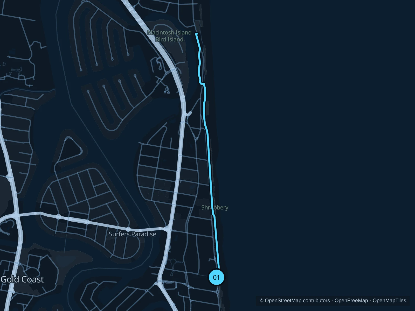
Map of the 4.2 km Surfers Paradise · Oceanway north run, with start and finish marked 01.
01 Out & backOpen full-size map
Approx. distance4.2 km
Underfoot

Concrete and asphalt shared paths

01

Start here

At the beach end of Cavill Avenue, on the public approach to the Oceanway.

Join the Oceanway and follow it north past the Esplanade beach accesses and Narrowneck, turning at the saved path junction towards Main Beach. Return on the same beachfront path.

Getting there

Walk east from Cavill Avenue tram stop through the pedestrian mall to the beachfront crossing.

Before you go

Use the pedestrian crossing at the start and keep left on shared paths. Market evenings and beach entrances can be crowded; carry water and avoid the midday heat.

Park / route information

Get running directions on your phone
Southport · Broadwater Parklands

A sheltered-water alternative to the surf beaches, with lawns, swimming areas and the northern parkland paths. Useful for Southport stays.

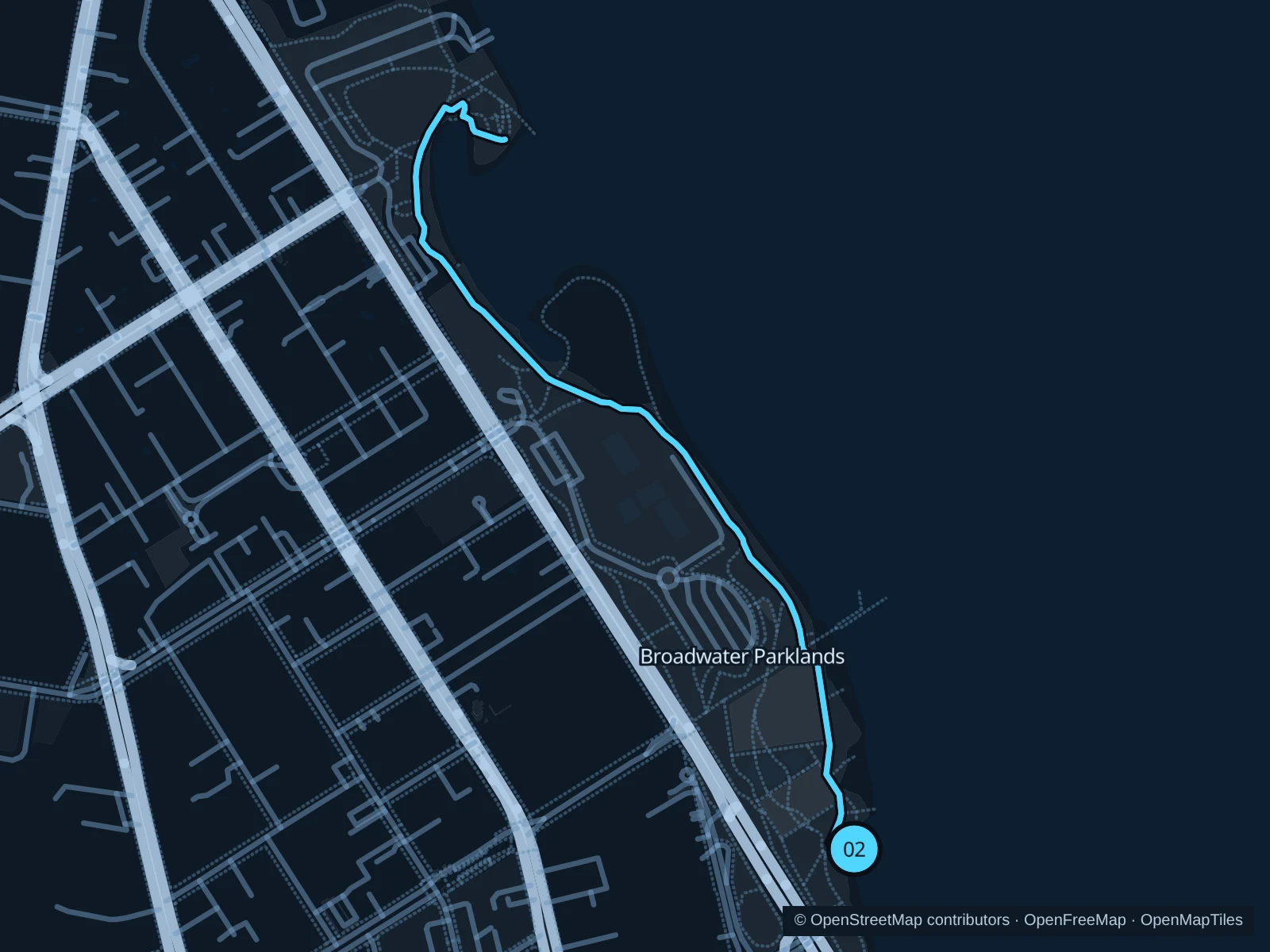
Map of the 2.6 km Southport · Broadwater Parklands run, with start and finish marked 02.
02 Out & backOpen full-size map
Approx. distance2.6 km
Underfoot

Concrete shared paths and park footways

02

Start here

On the public park path beside Southport Swimming Enclosure.

Follow the waterfront path north through Broadwater Parklands to the public path junction near the northern recreation area, then return along the same path.

Getting there

Walk east from Southport tram stop through the town centre and cross Marine Parade at a pedestrian crossing.

Before you go

Slow down around playgrounds and swimmers. Events can fence off lawns and alter pedestrian access; follow signed diversions and stay out of the tourist park’s accommodation areas.

Park / route information

Get running directions on your phone
Burleigh Head · Rainforest Circuit

A short forest loop with more climbing than the flat waterfront options. The shaded inland track gives a different outing near Burleigh village.

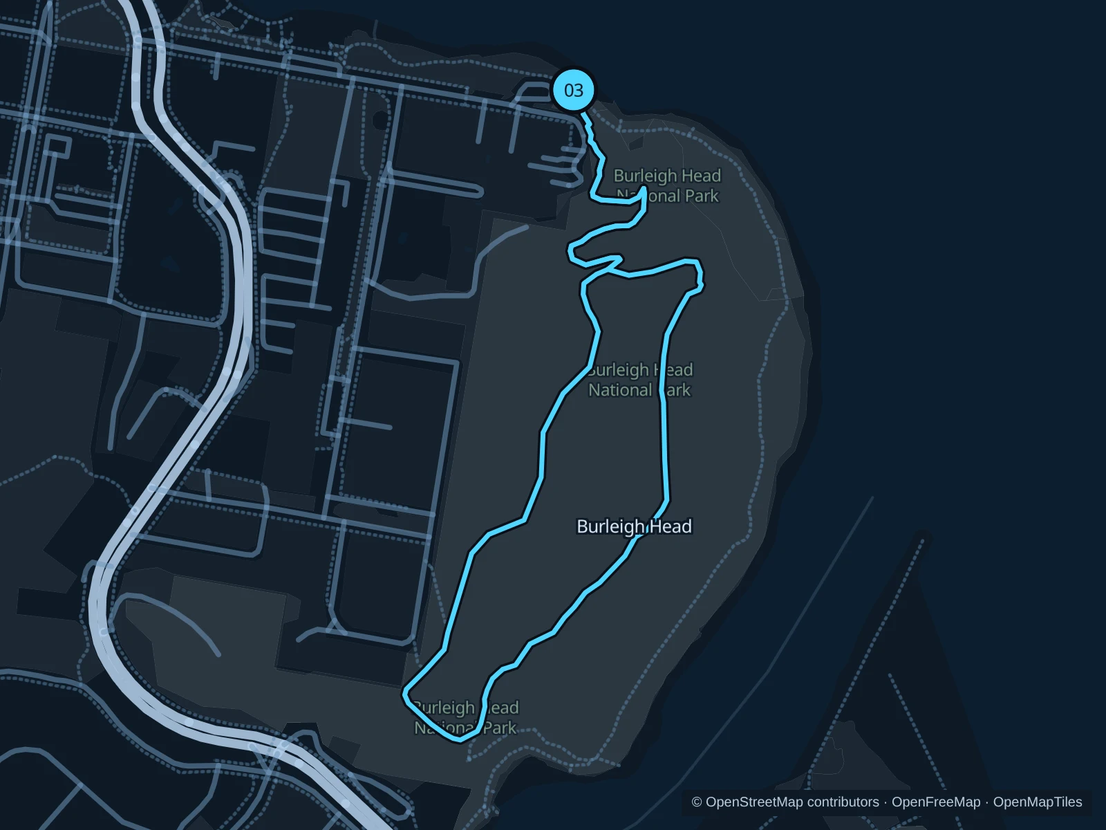
Map of the 2.2 km Burleigh Head · Rainforest Circuit run, with start and finish marked 03.
03 LoopOpen full-size map
Approx. distance2.2 km
Underfoot

Asphalt walking tracks and concrete steps

03

Start here

At the northern Burleigh Link Track entrance off Goodwin Terrace.

Climb the Burleigh Link Track, take the eastern side of the Rainforest Circuit past the Tumgun Lookout area, then return on the inland western side and descend the same entrance link.

Getting there

Walk east along Goodwin Terrace from Burleigh village to the signed national-park entrance.

Before you go

Walk steep or wet sections and give way to walkers. The Oceanview Track has a wet-weather closure notice for 22–28 October 2026; this loop excludes it. Check current park alerts before leaving.

Park / route information Park / route information

Get running directions on your phone

Get running directions on your phone

Choose a distance and start at your hotel. RunFromHere plans a loop back to your door and guides you along it. Download the area’s map before you leave to use it offline.

The app generates its own routes from your chosen start; it doesn’t open the routes in this guide.

More places to run

Federation Walk · The Spit

A separate outing from Philip Park into the reserve, with sandy and compacted paths through coastal vegetation. Useful for Main Beach and The Spit stays; take water.

Park / route information

Kurrawa & Pratten Park · Broadbeach

Choose the foreshore paths for a local run if you are staying near the convention centre or Broadbeach hotels. Check event fences and give playgrounds space.

Park / route information

Sources & route notes

Researched using the official visitor and park sources below; not checked on foot. Maps and GPX files use the same saved OpenStreetMap pedestrian paths. Distances are approximate. Check local notices for access, gate hours and diversions.

Researched